Plizio Visual Lab
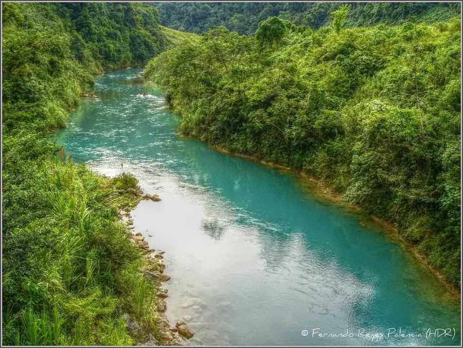
Chixoy or Negro River
Weather…
Water temperature…
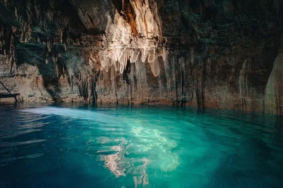
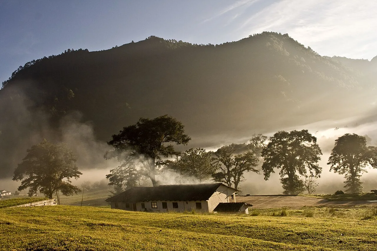
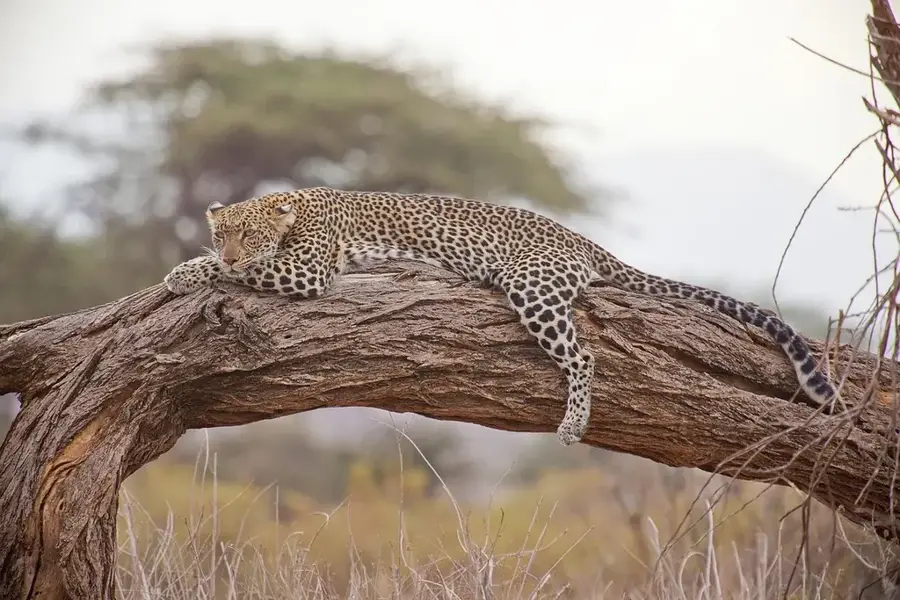
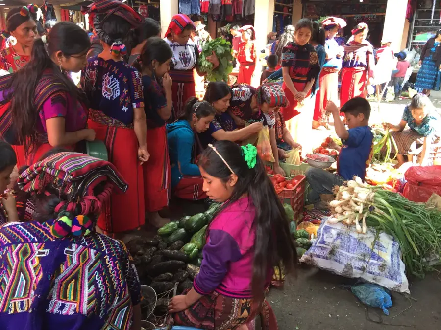
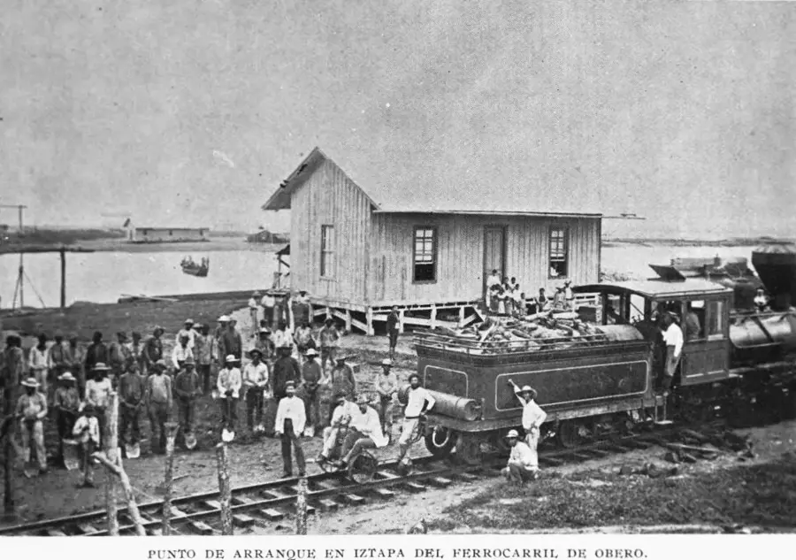
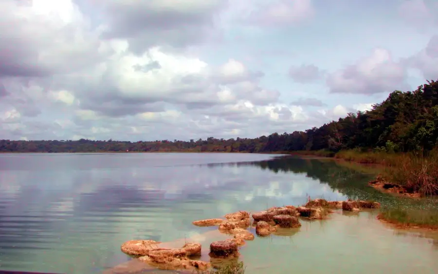
The Chixoy River, also known in its upper reaches as the Río Negro, is one of Guatemala's most significant watercourses and a major tributary of the Usumacinta River. Originating in the western highlands, it carves through deep canyons and rugged terrain before reaching the border with Mexico. The river holds immense economic importance for the nation as it powers the Chixoy Hydroelectric Dam, which generates a substantial portion of Guatemala's electricity. Historically, however, the river is also associated with the tragic events of the Río Negro massacres in the early 1980s, where hundreds of indigenous Maya farmers were displaced or killed during the dam's construction. Ecologically, the Chixoy basin supports diverse flora and fauna, including various fish species and riparian vegetation adapted to fluctuating water levels. The landscape along the river transitions from stark canyon walls to lush tropical forests in its lower reaches. Today, the river serves as a symbol of the complex interplay between industrial development, indigenous rights, and environmental conservation.
- Location: Guatemala
- Nearby: Puerto San José (4 km)
Best time to visit & climate
The most pleasant time to visit is Feb, Mar, Dec.
| Jan | Feb | Mar | Apr | May | Jun | Jul | Aug | Sep | Oct | Nov | Dec | |
|---|---|---|---|---|---|---|---|---|---|---|---|---|
| Avg °C | 18 | 20 | 22 | 24 | 24 | 22 | 22 | 22 | 22 | 21 | 19 | 18 |
| Rain mm | 25 | 16 | 19 | 36 | 137 | 251 | 158 | 229 | 293 | 182 | 53 | 28 |
📋 Practical info
Geography
Facts
- The Chixoy River is approximately 400 kilometers long.
- The Chixoy Hydroelectric Plant was commissioned in 1983.
- The dam structure stands at a height of 110 meters.
- The river forms part of the international border between Guatemala and Mexico.
- Its drainage basin covers an area of more than 12,000 square kilometers.
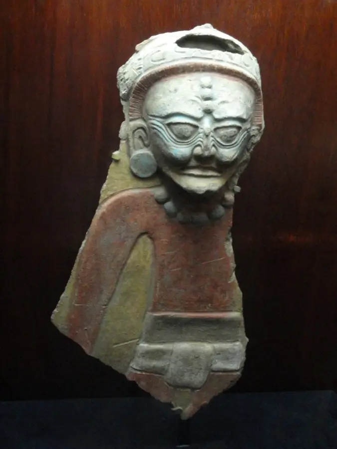
- Archaeological sites like Cauinal are now submerged beneath the reservoir's waters.
Explore nearby
Notable places around
Route planner — Car & Motorhome
Where do you start? We build the route here, with stops and country notes along the way.
© OpenStreetMap contributors · OpenRouteService
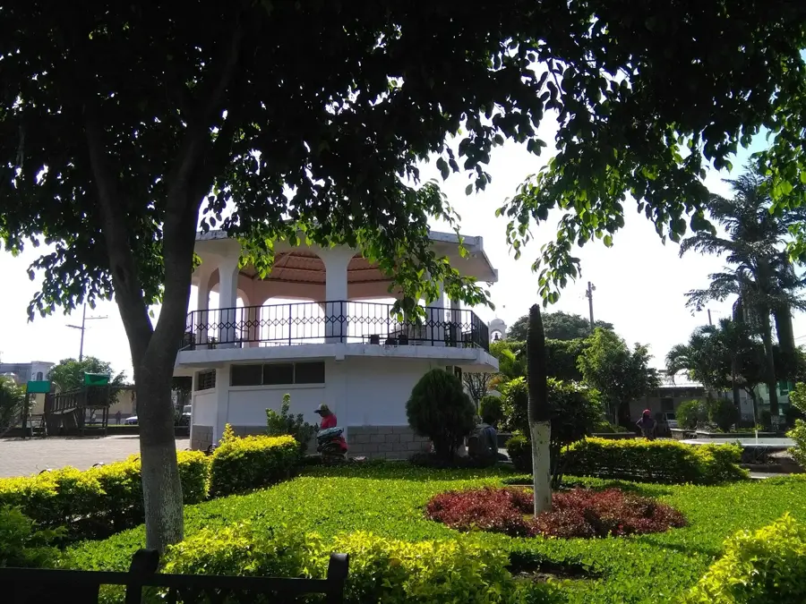
Sights nearby
Frequently asked questions
How difficult is hiking along the Río Chixoy?
Is the water suitable for swimming?
What is the best time of year to visit?
Is there parking nearby?
Should I bring binoculars?
Chixoy or Negro River: where is it located?
Chixoy or Negro River: when is the best time to visit?
Chixoy or Negro River: why is it worth visiting?

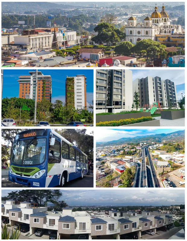
Nearby cities
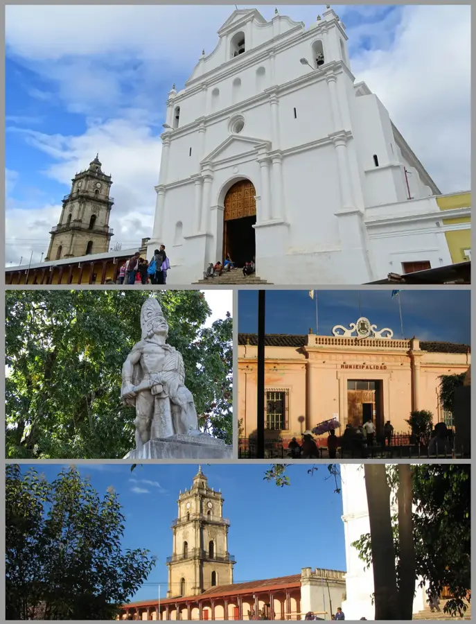
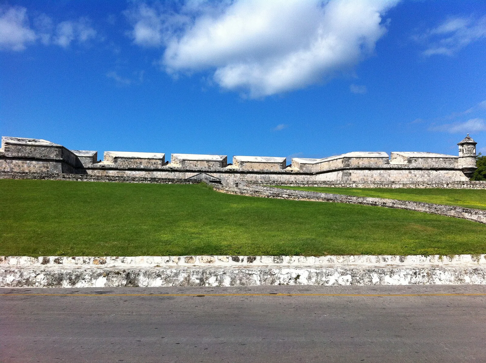

History & landmarks


Nature
More places