Plizio Visual Lab
Poptún
ℹ️Practical info — Poptún
▾
🌤 Weather — 5 days
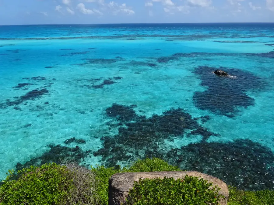
📍 Nearby
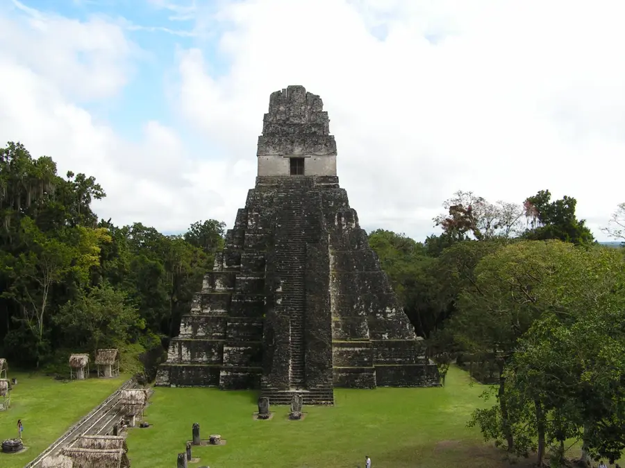
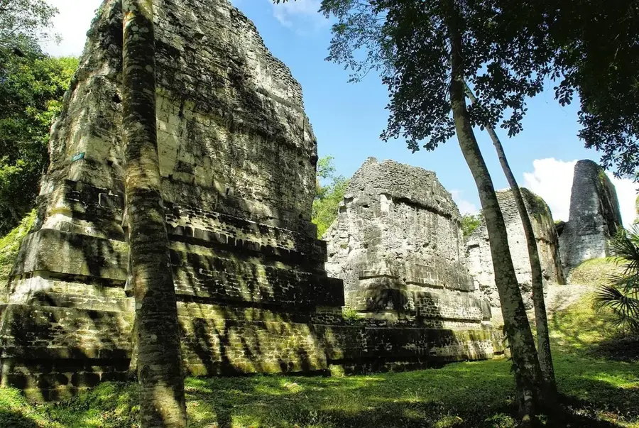
Sights nearby
💡 Tips
- Poptún is located in a pine savanna region, offering a very different climate and landscape from the jungle of northern Petén.
- It's a popular stopover for travelers heading to or from Belize or Tikal.
- There are numerous caves and swimming holes (balnearios) in the surrounding area worth exploring.
- Bring insect repellent if you plan to hike in the nearby forests.
🍽 Food
The region has cattle farms, so look for steakhouses serving decent churrasco near the highway.
Farms often serve organic, farm-to-table meals including local cheeses and breads.
Available from street vendors, very refreshing in the tropical heat.
🛍 Shopping · 🧘 Quiet spots
Eco-farms in the area sell locally produced honey, jams, and medicinal herbs.
The center has a typical local market for fresh fruit, vegetables, and everyday essentials.
The surrounding pine savannas offer tranquil trails for walking or horseback riding.
A well-known eco-lodge just outside town with ponds, nature trails, and a peaceful atmosphere.
Water temperature…
Poptún is a significant municipality located in the Petén Department of northern Guatemala, situated on a unique high plateau amidst the Maya Mountains. The town was officially recognized as a municipality in 1966, although its settlement history dates back to the mid-19th century. Geographically, the region is distinguished by its extensive pine forests, which are unusual for the tropical lowlands of Petén and provide a cooler climate for its residents. Poptún is nationally renowned as the home of the Kaibiles training school, an elite unit of the Guatemalan army that has trained in the surrounding rugged forests since 1974. Economically, the town relies on cattle ranching and the large-scale cultivation of grains and legumes, acting as a pivotal commercial hub along the CA-13 highway. In recent decades, ecotourism has also grown in importance, as nearby limestone caves and mountain trails attract adventure seekers from around the world. The modern development of Poptún reflects rapid population growth driven by fertile lands and its strategic position between the regional capital of Flores and the southern parts of the country.
- Location: Guatemala
- Nearby: Gualán (6 km)
- Population: ~17.320 (2020)
Best time to visit & climate
The most pleasant time to visit is Jan–Mar.
| Jan | Feb | Mar | Apr | May | Jun | Jul | Aug | Sep | Oct | Nov | Dec | |
|---|---|---|---|---|---|---|---|---|---|---|---|---|
| Avg °C | 21 | 22 | 24 | 26 | 27 | 25 | 25 | 25 | 25 | 24 | 22 | 21 |
| Rain mm | 124 | 86 | 65 | 47 | 121 | 213 | 175 | 187 | 215 | 239 | 190 | 142 |
Geography
Facts
- Poptún is situated at an average elevation of 500 meters above sea level.
- The municipality was officially established on April 26, 1966, during the Peralta Azurdia administration.
- It hosts the specialized Kaibiles military school, which was established here in 1974.
- The region is famous for 'Pinus caribaea', a pine species that grows naturally in this area.
- The municipal territory covers an area of approximately 1,128 square kilometers.
- The average annual temperature in Poptún fluctuates between 24 and 26 degrees Celsius.
Explore nearby
Notable places around
Route planner — Car & Motorhome
Where do you start? We build the route here, with stops and country notes along the way.
© OpenStreetMap contributors · OpenRouteService
Frequently asked questions
What is Poptún known for?
Can you visit caves nearby?
What is Finca Ixobel?
How is the climate compared to the rest of Petén?
How to get to Poptún?
Poptún: where is it located?
Poptún: when is the best time to visit?
Poptún: why is it worth visiting?

Nearby cities
Nature
More places