Plizio Visual Lab
Flores Island
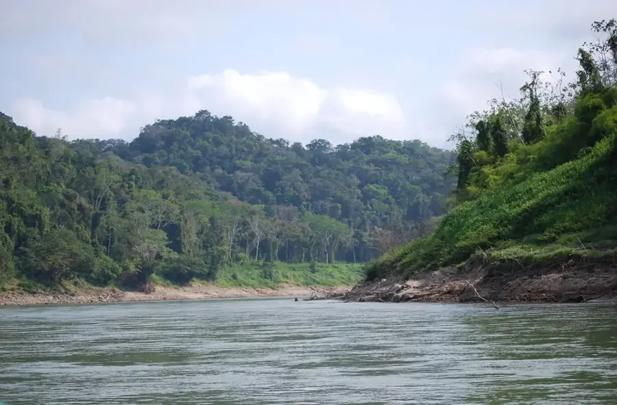
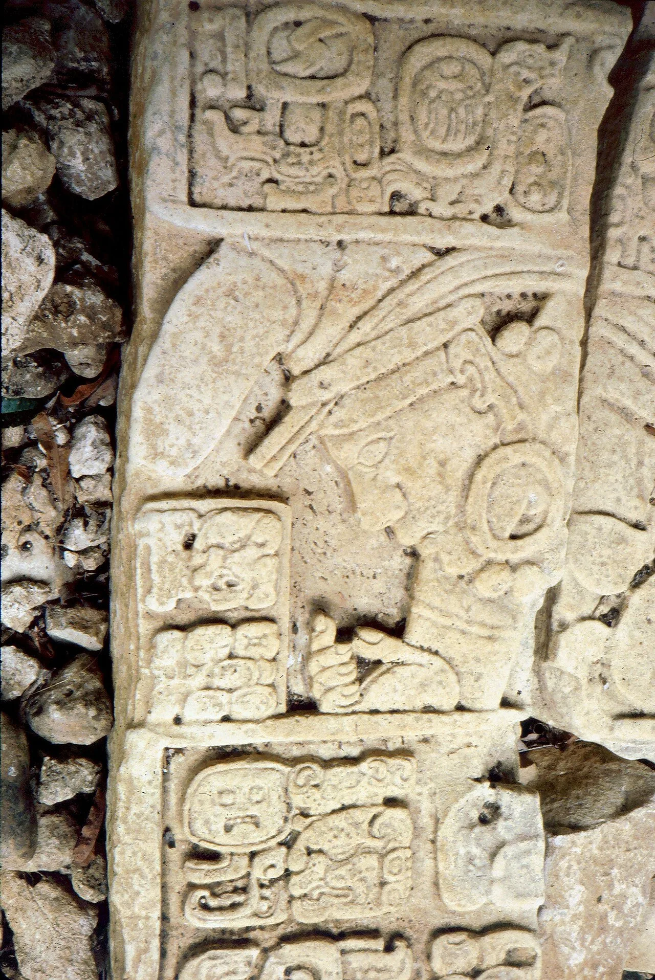
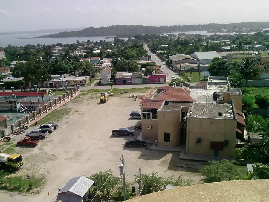
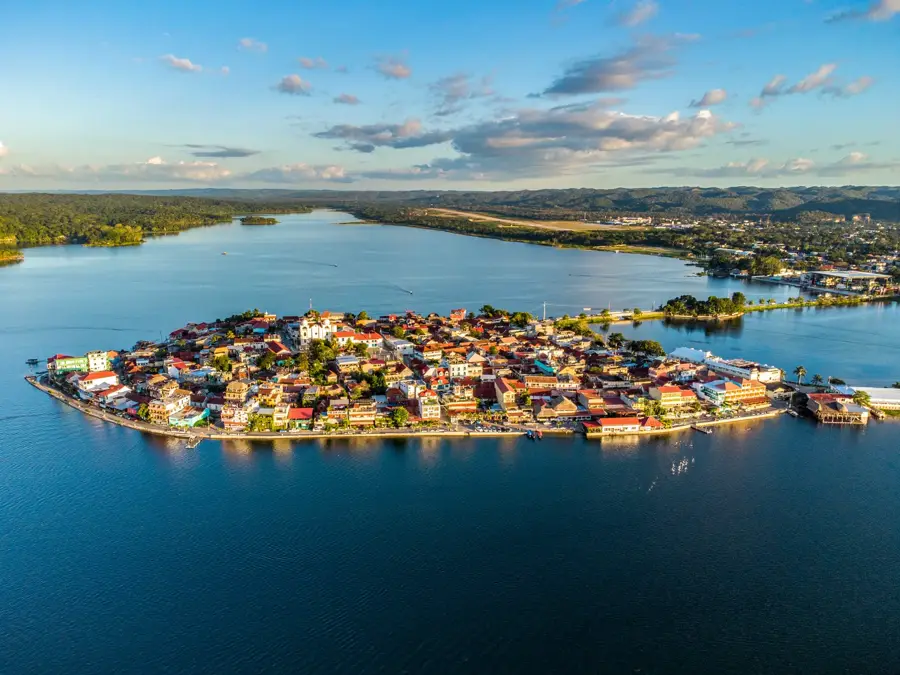
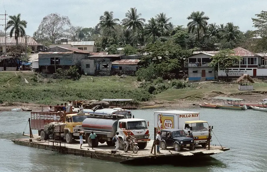
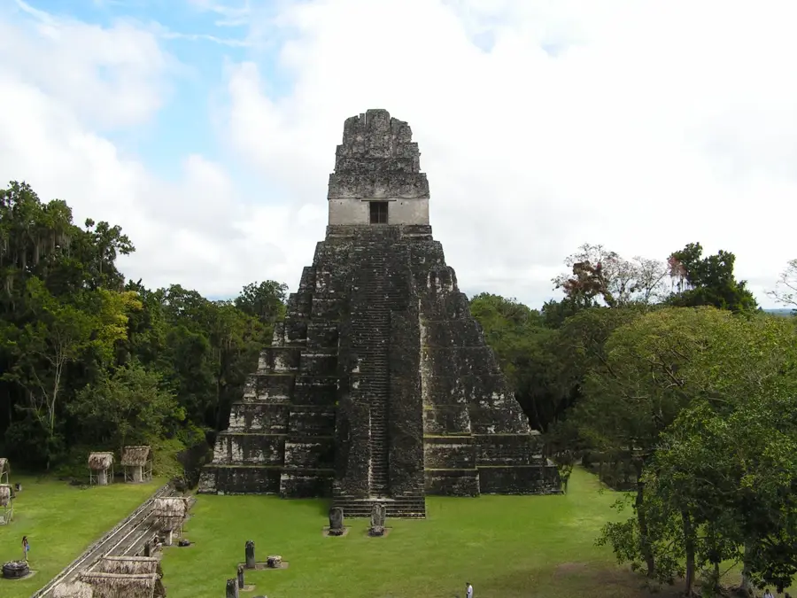
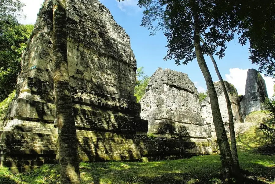
Isla de Flores is an easy on the eye island located in Lake Petén Itzá and serves as the historical heart of the city of Flores, the capital of the Petén department in Guatemala. Originally known as Nojpetén, the island was the last stronghold of the Itzá Maya against the Spanish conquest, finally falling in 1697. Today, the island is connected to the mainland and the towns of Santa Elena and San Benito by an artificial causeway. Its architecture is characterized by brightly colored colonial buildings, narrow cobblestone streets, and a lively waterfront promenade that is a favorite among travelers. Due to its strategic location, the island acts as the primary gateway to the nearby archaeological site of Tikal and other lowland Maya cities. The surrounding lake provides opportunities for boating and swimming, while the island itself is a hub for culture, dining, and local crafts. Despite modernization, Flores has maintained its appealing, small-town character and remains a symbol of the blend between indigenous history and colonial heritage.
- Location: Guatemala
- Top sights: Flores Island, Guatemala · Nojpetén · Flores, Petén
- Nearby: Zapotitlán (8 km)
Best time to visit & climate
The most pleasant time to visit is Jan, Feb, Dec.
| Jan | Feb | Mar | Apr | May | Jun | Jul | Aug | Sep | Oct | Nov | Dec | |
|---|---|---|---|---|---|---|---|---|---|---|---|---|
| Avg °C | 22 | 24 | 26 | 29 | 29 | 26 | 26 | 26 | 26 | 25 | 23 | 22 |
| Rain mm | 88 | 51 | 47 | 41 | 137 | 263 | 171 | 224 | 275 | 247 | 148 | 109 |
📋 Practical info
Geography
Facts
- The island was the capital of the Itzá Kingdom under the name Nojpetén.
- Flores was officially conquered by the Spanish on March 13, 1697.
- Lake Petén Itzá is the third largest lake in Guatemala, covering 99 km².
- A 500-meter long causeway connects the island to the mainland today.
- The island sits at an elevation of approximately 127 meters above sea level.
- The Cathedral of Flores houses a notable statue of the Black Madonna.
Explore nearby
Notable places around
Route planner — Car & Motorhome
Where do you start? We build the route here, with stops and country notes along the way.
© OpenStreetMap contributors · OpenRouteService
Sights in the town Flores Island (3)
Sights nearby
Frequently asked questions
How long should I plan to spend on Isla de Flores?
Is the island family-friendly?
When is the best time to visit?
Are there any local specialties?
What is the best way to get to the island?
Flores Island: where is it located?
Flores Island: what is there to see?
Flores Island: when is the best time to visit?
Flores Island: why is it worth visiting?

Nearby cities
Nature
More places