Plizio Visual Lab
Usumacinta River

Weather…
Water temperature…
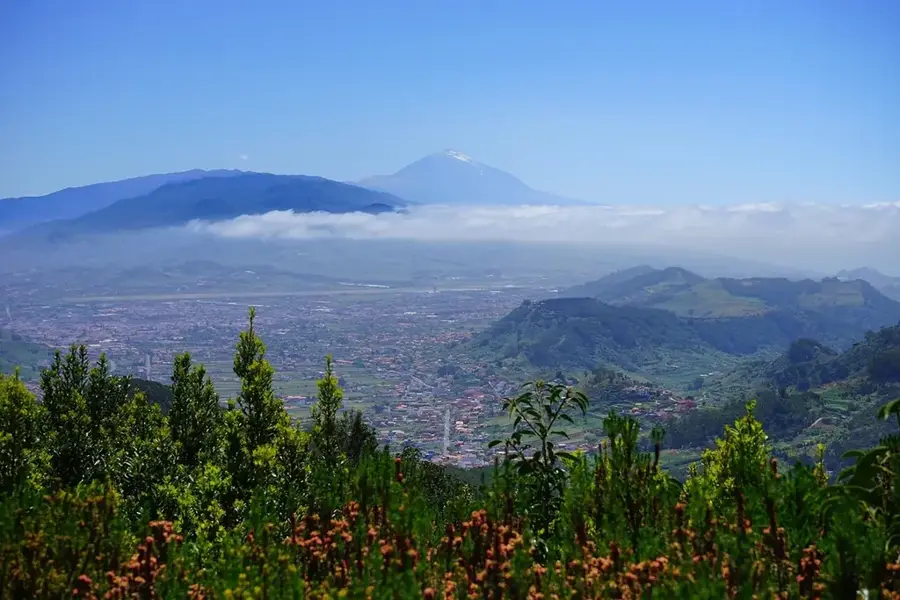
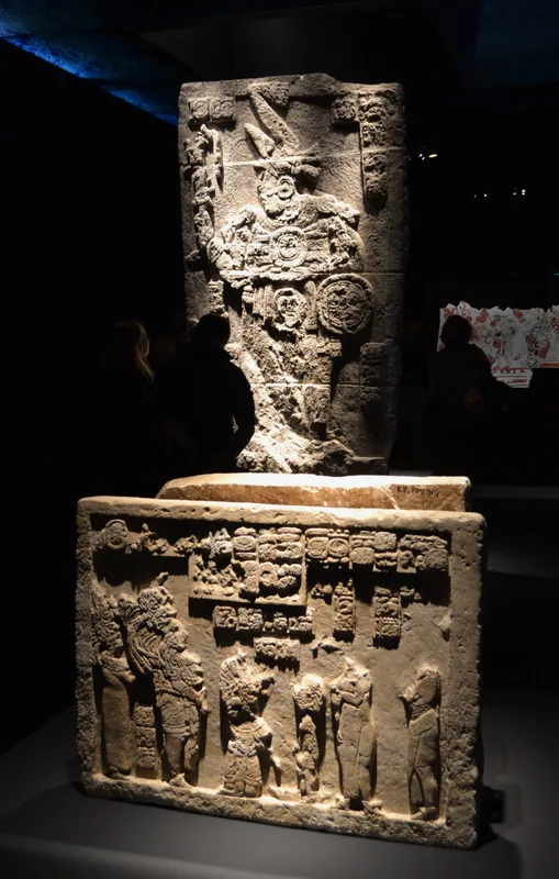
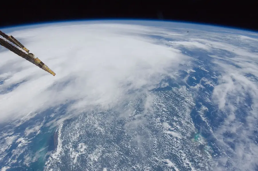
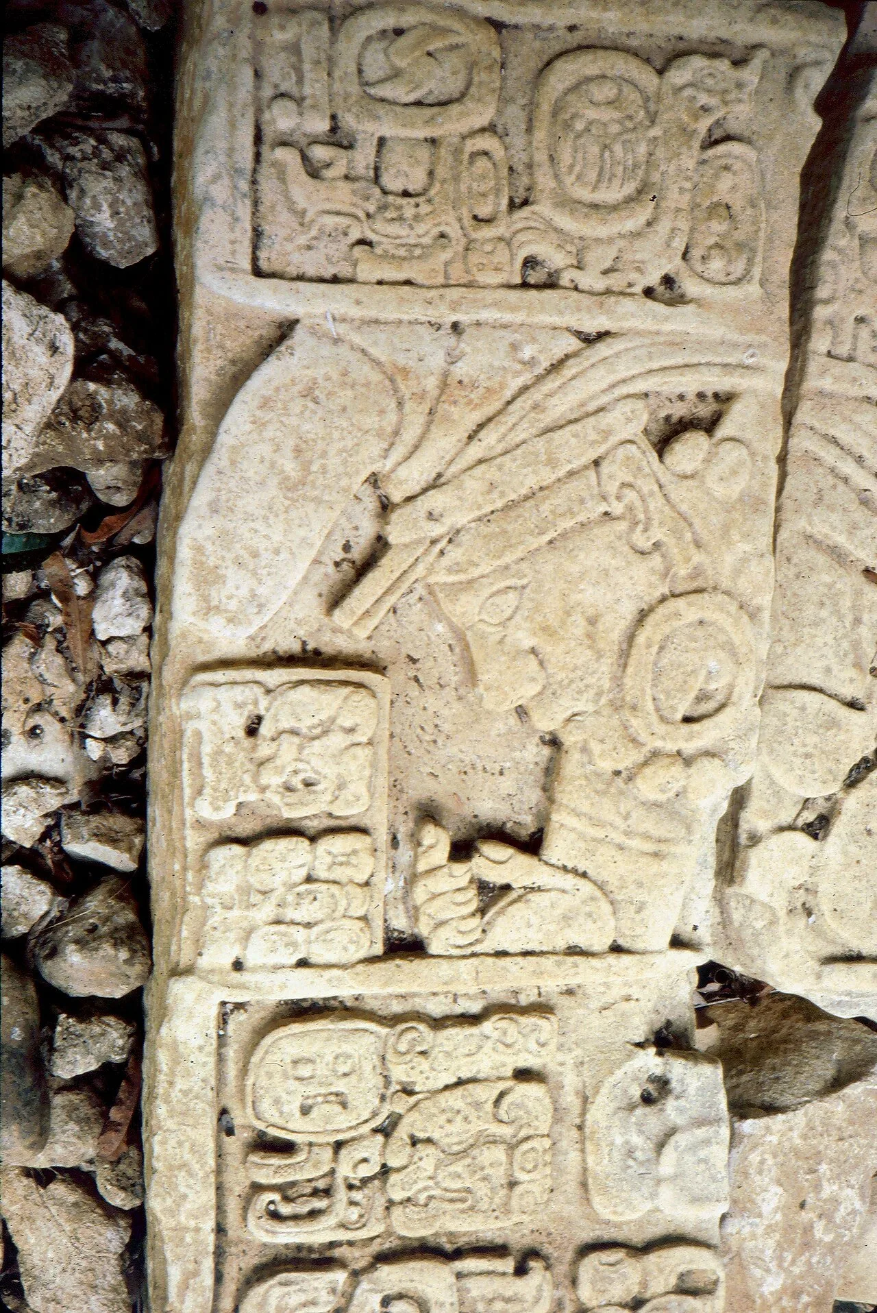
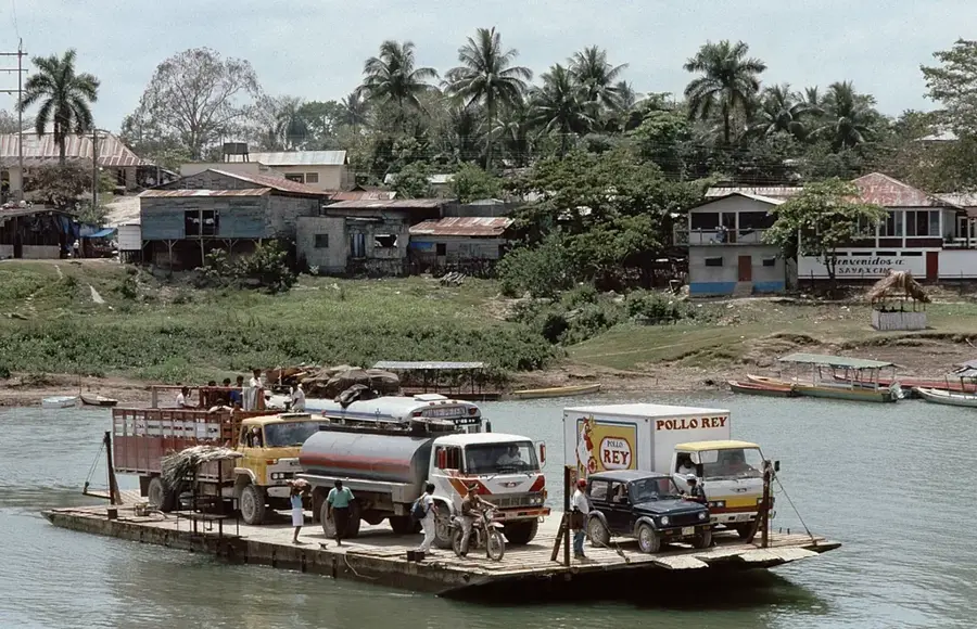
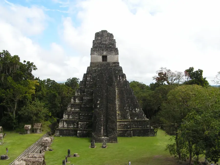
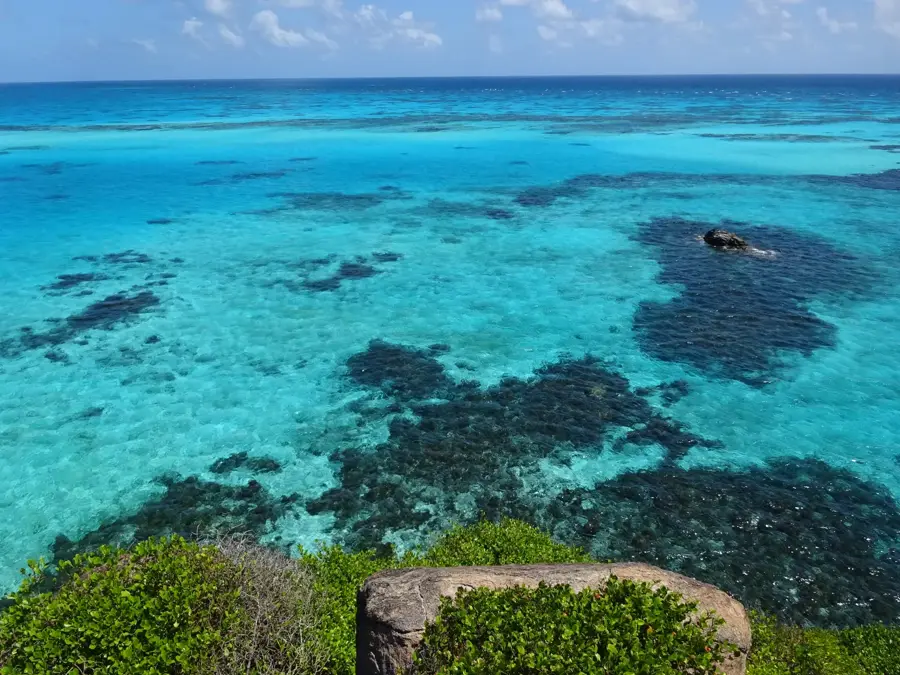
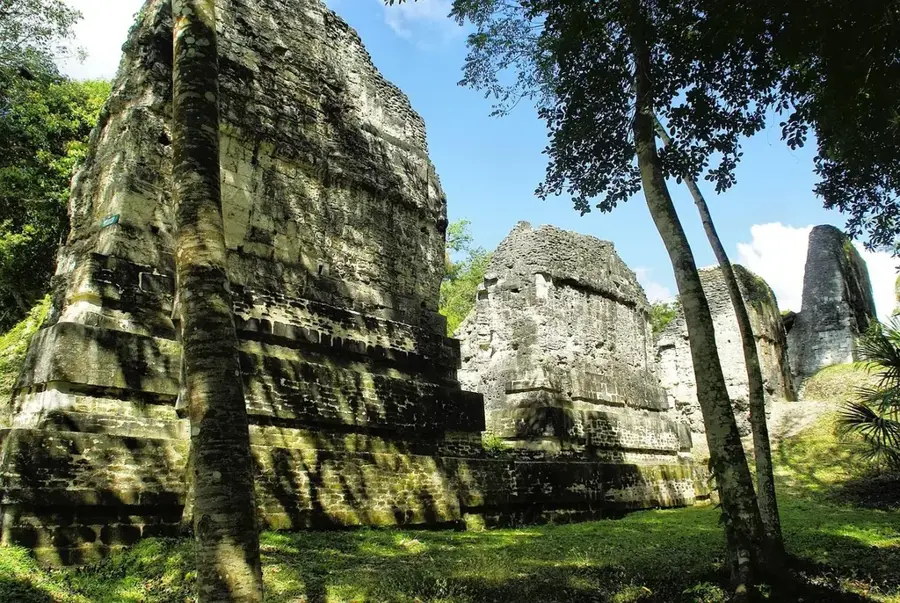
The Usumacinta River is the most voluminous river in Central America and forms a significant portion of the border between Guatemala and Mexico. It originates in the Guatemalan highlands and flows through the Petén Basin before emptying into the Gulf of Mexico. The river was a vital trade route for the ancient Maya civilization, evidenced by major archaeological sites such as Piedras Negras and Yaxchilán along its banks. The surrounding tropical rainforests host exceptional biodiversity, including howler monkeys, jaguars, and numerous rare bird species. Geologically, the river is characterized by deep canyons and rapid currents in its upper sections, and wide meanders in the lowlands. Despite its ecological importance, the Usumacinta Basin is threatened by deforestation and proposed dam projects, leading to international conservation efforts. It remains one of the last large undisturbed river systems in the region, invaluable both culturally and biologically.
- Location: Guatemala
- Nearby: San Juan Cotzal (4 km)
Best time to visit & climate
The most pleasant time to visit is Jan, Feb, Dec.
| Jan | Feb | Mar | Apr | May | Jun | Jul | Aug | Sep | Oct | Nov | Dec | |
|---|---|---|---|---|---|---|---|---|---|---|---|---|
| Avg °C | 23 | 25 | 28 | 31 | 31 | 28 | 27 | 27 | 27 | 26 | 24 | 23 |
| Rain mm | 74 | 49 | 33 | 40 | 115 | 282 | 171 | 240 | 253 | 236 | 125 | 74 |
📋 Practical info
Geography
Facts
- The name Usumacinta means 'place of the sacred monkeys' in the Nahuatl language.
- With a total length of approximately 1,000 km, it is one of the region's longest rivers.
- The river system drains an area of over 100,000 square kilometers.
- Certain sections of the river feature Class II to IV whitewater rapids.
- It provides habitat for endangered species like the Morelet's crocodile.
- The ruins of Piedras Negras were once a powerful city-state on the riverbanks.
Explore nearby
Notable places around
Route planner — Car & Motorhome
Where do you start? We build the route here, with stops and country notes along the way.
© OpenStreetMap contributors · OpenRouteService
Sights nearby
Frequently asked questions
Can you take boat tours on the Usumacinta river?
Is the river safe for swimming?
Does the river form a border?
What animals can you see there?
Do you need a permit?
Usumacinta River: where is it located?
Usumacinta River: when is the best time to visit?
Usumacinta River: why is it worth visiting?

Nearby cities
Nature
More places