Plizio Visual Lab
La Libertad (Petén)
ℹ️Practical info — La Libertad (Petén)
▾
🌤 Weather — 5 days
📍 Nearby
Sights nearby
💡 Tips
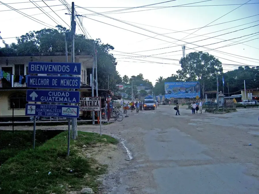
- This expansive municipality is a major transit hub for buses heading deeper into Petén or towards Mexico.
- It gets extremely hot and humid; stay hydrated and carry strong insect repellent.
- Use it as a practical stop to restock supplies if you are heading to remote archaeological sites.
- The bus terminal area can be chaotic, so keep a close eye on your luggage.
🍽 Food
Freshly caught from nearby rivers, often served with plantains at simple diners.
Deep-fried pastries stuffed with meat or potatoes, great for travel snacks.
Refreshing blended fruit drinks with milk or water, found at market stalls.
🛍 Shopping · 🧘 Quiet spots
Stock up on water, snacks, and basic jungle gear before heading out.
Good for buying fresh tropical fruits for the road.
Walking slightly away from the center reveals a calmer, pastoral landscape.
A short drive out of town can take you to small, peaceful water bodies.
Water temperature…
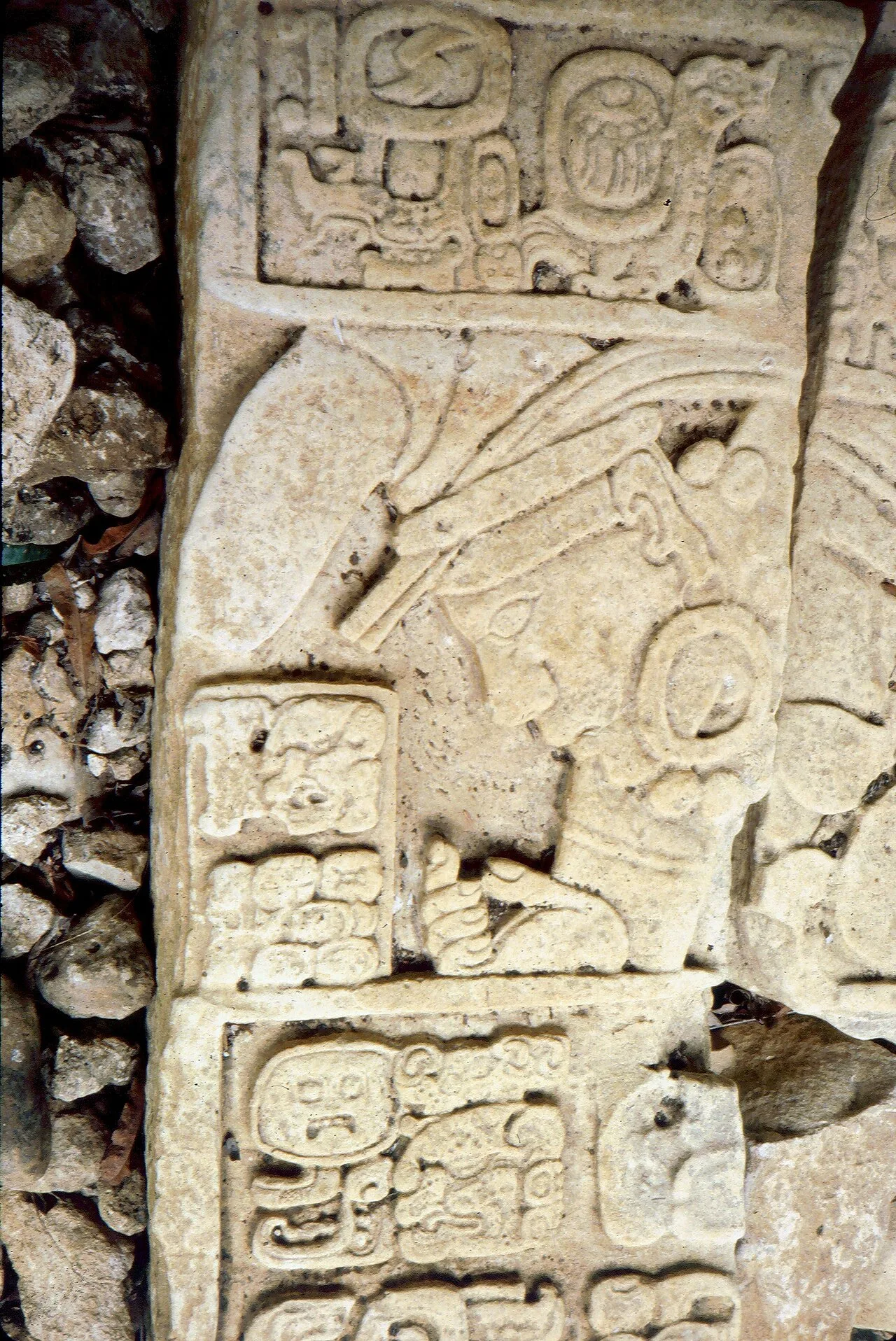
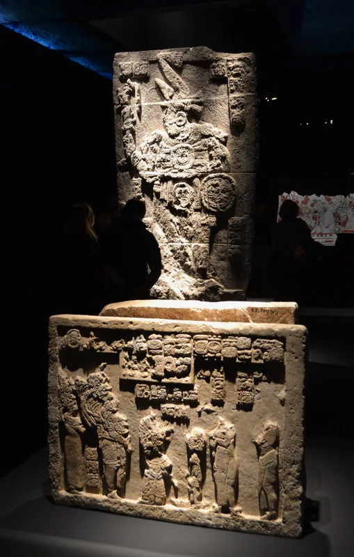
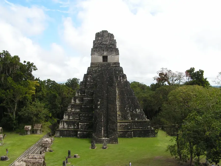
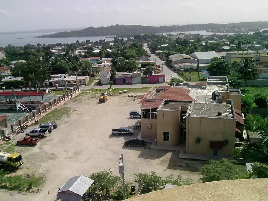
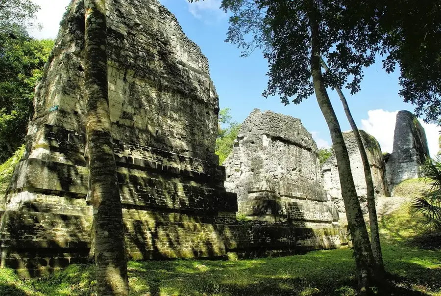
La Libertad is a significant municipality located in the central savanna region of the Petén department. Originally established in 1795 as 'El Sacluk', the town was renamed La Libertad in 1878 during a period of political reform in Guatemala. Geographically, the area is characterized by open plains and limestone ridges, which differ sharply from the dense jungles found further north. Historically, it served as a major center for the timber and chicle (natural gum) industries, which drove the initial economic development of the region. Today, La Libertad is the heart of Petén's cattle industry, with large ranches dominating the landscape. The municipality also plays a vital role in the national economy due to the presence of oil fields in its vicinity. Its strategic location provides a gateway to the Usumacinta River basin and several remote Mayan archaeological sites, making it an important hub for both commerce and regional administration.
- Location: Guatemala
- Nearby: Chiquimulilla (7 km)
- Population: ~8.646 (2020)
Best time to visit & climate
The most pleasant time to visit is Jan, Feb, Dec.
| Jan | Feb | Mar | Apr | May | Jun | Jul | Aug | Sep | Oct | Nov | Dec | |
|---|---|---|---|---|---|---|---|---|---|---|---|---|
| Avg °C | 22 | 24 | 26 | 29 | 29 | 26 | 26 | 26 | 26 | 25 | 23 | 22 |
| Rain mm | 88 | 51 | 47 | 41 | 137 | 263 | 171 | 224 | 275 | 247 | 148 | 109 |
Geography
Facts
- La Libertad was founded by settlers from the Yucatán and central Guatemala in 1795.
- The town was renamed in 1878 by President Justo Rufino Barrios.
- It is considered the livestock capital of Petén due to its extensive pasture lands.
- Petén's first oil exploration projects were centered around this municipality.
- The area is home to the 'Savanna of Petén', a distinct biological sub-region.
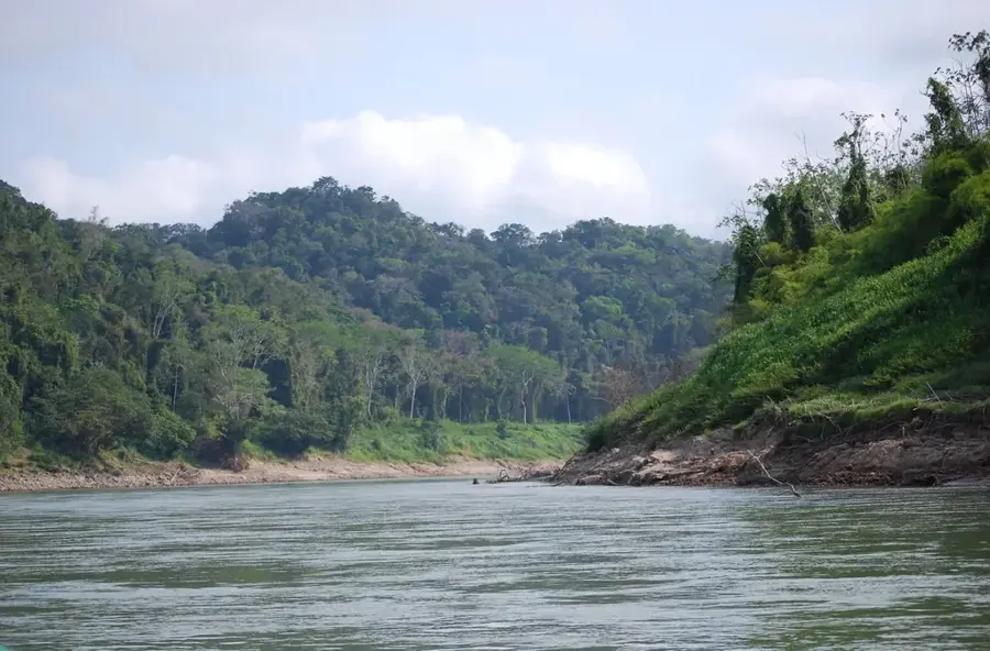
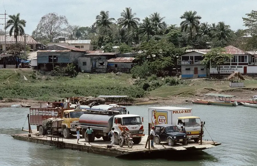
- The municipality borders Mexico to the west, along the Usumacinta River.
Explore nearby
Notable places around
Route planner — Car & Motorhome
Where do you start? We build the route here, with stops and country notes along the way.
© OpenStreetMap contributors · OpenRouteService
Sights in the town La Libertad (Petén) (1)
Frequently asked questions
What is La Libertad in Petén known for?
Can you visit Mayan ruins from here?
Are there hotels in La Libertad?
What is the terrain like in the area?
When is the annual fair?
La Libertad (Petén): where is it located?
La Libertad (Petén): when is the best time to visit?
La Libertad (Petén): why is it worth visiting?

Nearby cities
Nature
More places