Plizio Visual Lab
San Vicente (Toledo)
ℹ️Practical info — San Vicente (Toledo)
▾
🌤 Weather — 5 days
📍 Nearby
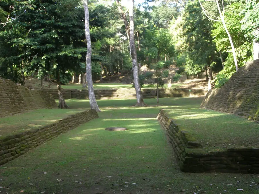
Sights nearby
💡 Tips
- This is a very remote village near the Guatemalan border; always check road conditions before driving here.
- The community operates on traditional Maya governance (the Alcalde system); be respectful of local leaders.
- Mobile connectivity is extremely limited, so be sure to download offline maps before heading this far south.
- Engaging with the locals through the Belize Maya Homestay Network has a truly authentic, respectful experience.
🍽 Food
Hearty root vegetables like cassava and yams, often boiled and served as a filling side dish with local meals.
Occasionally prepared in local households, such as gibnut or deer hunted from the surrounding forests.
Enjoy authentic tortillas made from corn processed locally by hand on a traditional stone metate.
🛍 Shopping · 🧘 Quiet spots
Intricately woven baskets made from natural local fibers, sold by skilled craftswomen in the village.
Natural tree resin used in traditional Maya spiritual ceremonies, sometimes sold by local gatherers.
Peaceful, dense walking paths near the pristine forests bordering neighboring Guatemala.
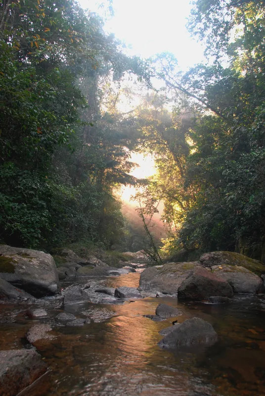
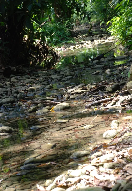
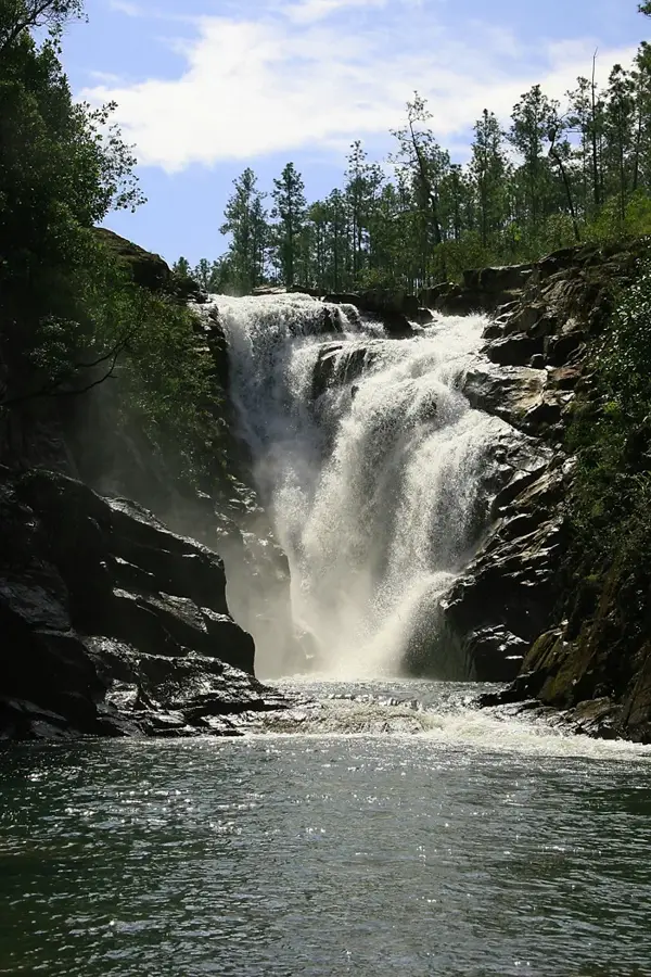
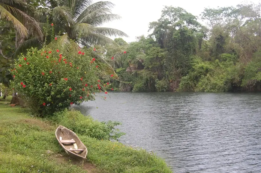
A tranquil spot a short distance away for swimming or relaxing by the swiftly moving water.
Water temperature…
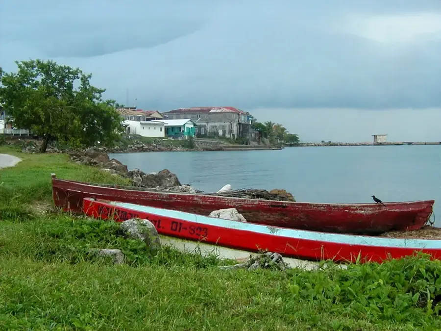
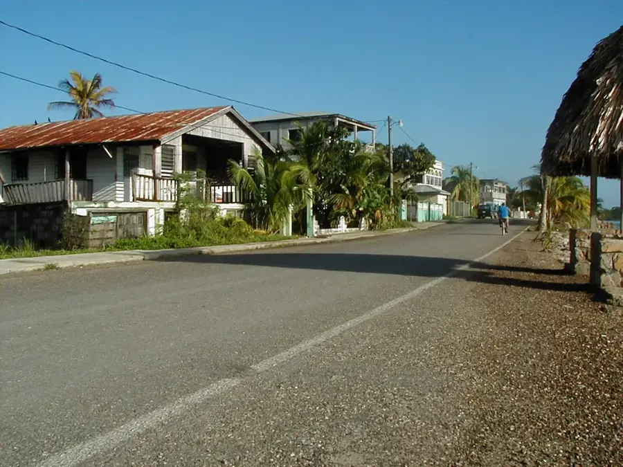
San Vicente is a remote Mopan Maya village situated in the far western portion of the Toledo District in southern Belize, positioned directly adjacent to the international border with Guatemala. The settlement serves as a critical agricultural hub for the region, where the local population primarily engages in the cultivation of cacao, maize, and beans using traditional Maya farming techniques. Historically, the community was established by Mopan Maya families who migrated across the border in the mid-20th century, seeking land and stability within Belizean territory. Geographically, the village is set within the lush foothills of the Maya Mountains, characterized by a tropical rainforest climate that receives significant annual rainfall, often exceeding 3,000 millimeters. The rugged terrain and dense vegetation around San Vicente have historically isolated the community, though recent infrastructure improvements have enhanced connectivity to the district capital, Punta Gorda. Cultural preservation remains a cornerstone of life in San Vicente, with the Mopan language and traditional customs continuing to define the daily social fabric of the village inhabitants.
- Location: Belize
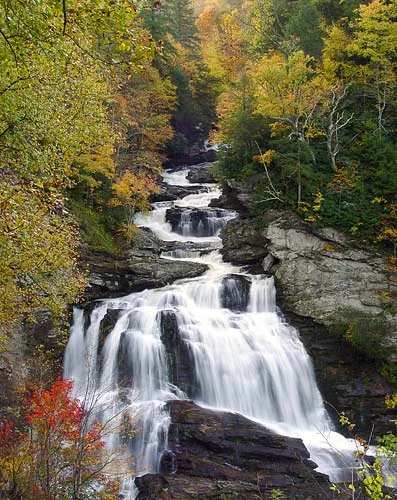
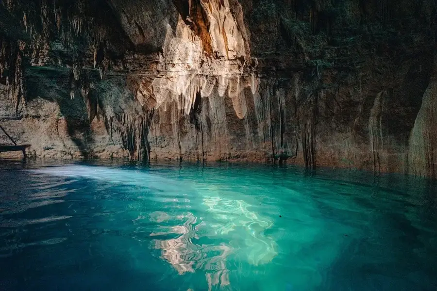
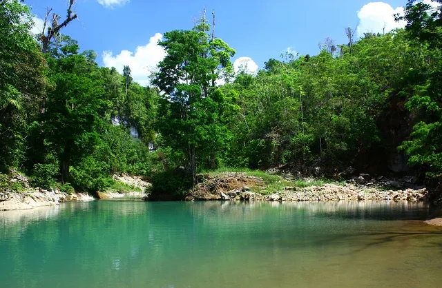
- Top sights: Hokeb Ha Cave · Blue Creek, Toledo · Blue Creek Rainforest Preserve
- Nearby: Cristo Rey (Cayo) (4 km)
- Population: ~532 (2025)
Best time to visit & climate
The most pleasant time to visit is Feb–Apr.
| Jan | Feb | Mar | Apr | May | Jun | Jul | Aug | Sep | Oct | Nov | Dec | |
|---|---|---|---|---|---|---|---|---|---|---|---|---|
| Avg °C | 24 | 25 | 26 | 27 | 28 | 27 | 27 | 27 | 27 | 26 | 25 | 24 |
| Rain mm | 134 | 95 | 74 | 55 | 138 | 244 | 209 | 215 | 249 | 250 | 229 | 146 |
Geography
Facts
- Located approximately 50 kilometers west of Punta Gorda.
- The population is predominantly of Mopan Maya descent.
- It lies at an elevation of roughly 150 meters above sea level.
- Cacao production is a primary source of cash income for residents.
- The village is situated less than 2 kilometers from the Guatemala border.
- Annual rainfall in this region of Toledo often exceeds 3,500 mm.
Explore nearby
Notable places around
Route planner — Car & Motorhome
Where do you start? We build the route here, with stops and country notes along the way.
© OpenStreetMap contributors · OpenRouteService
Sights in the town San Vicente (Toledo) (3)
Frequently asked questions
Where is San Vicente located?
Which Maya group lives here?
What is the village's main source of income?
Is the road to San Vicente difficult?
Is there electricity in the village?
San Vicente (Toledo): where is it located?
San Vicente (Toledo): what is there to see?
San Vicente (Toledo): when is the best time to visit?
San Vicente (Toledo): why is it worth visiting?

Nearby cities


History & landmarks
Nature
More places