Plizio Visual Lab
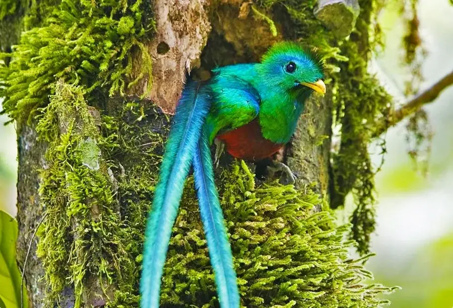
Quetzal Biotope
Weather…
Water temperature…
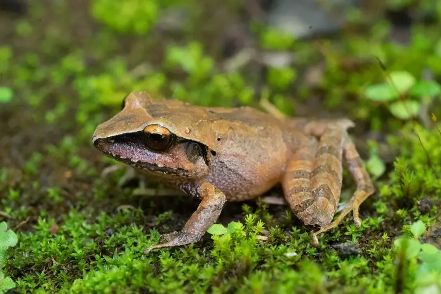
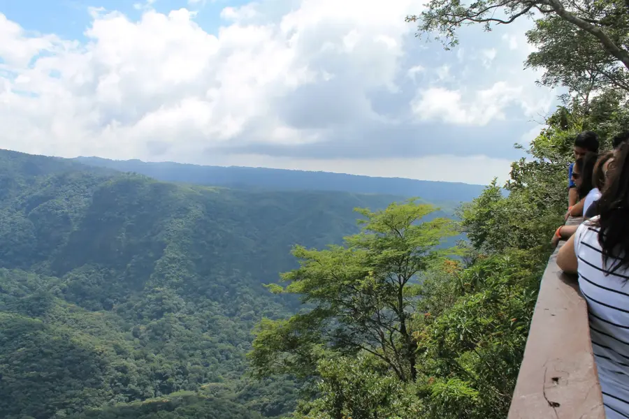
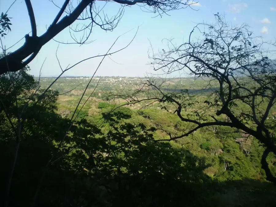
The Quetzal Biotope, officially named the Mario Dary Rivera Biotope, is located in the municipality of Purulhá within the Baja Verapaz department. It was established in 1976 through the efforts of conservationist Mario Dary Rivera to protect the habitat of the Resplendent Quetzal, Guatemala's national bird. The reserve covers approximately 1,044 hectares and is primarily composed of tropical cloud forest, characterized by persistent mist, high humidity, and dense moss cover. The vegetation is rich in epiphytes, orchids, and tree ferns that flourish in this unique moist microclimate. Beyond the Quetzal, the biotope provides sanctuary for diverse wildlife including howler monkeys and numerous amphibian species. Visitors can explore the rugged terrain via designated paths such as the 'Ferns Trail.' Managed by the University of San Carlos de Guatemala, the reserve plays a central role in scientific research regarding cloud forest ecosystems and the ongoing preservation of endangered biological species.
- Location: Guatemala
- Nearby: San Pedro Carchá (5 km)
Best time to visit & climate
The most pleasant time to visit is Jan–Mar.
| Jan | Feb | Mar | Apr | May | Jun | Jul | Aug | Sep | Oct | Nov | Dec | |
|---|---|---|---|---|---|---|---|---|---|---|---|---|
| Avg °C | 18 | 20 | 22 | 24 | 24 | 22 | 21 | 22 | 21 | 21 | 19 | 18 |
| Rain mm | 34 | 26 | 25 | 39 | 140 | 204 | 165 | 205 | 233 | 165 | 69 | 38 |
📋 Practical info
Geography
Facts
- The biotope covers a protected area of 1,044 hectares of cloud forest.
- It was established in 1976 by Mario Dary Rivera to save the Quetzal bird.
- Humidity levels within the forest canopy often reach 100 percent.
- There are two primary hiking trails: The Ferns and The Mosses.
- The reserve is managed by the San Carlos University of Guatemala (USAC).
- More than 50 distinct tree species have been cataloged in the protected area.
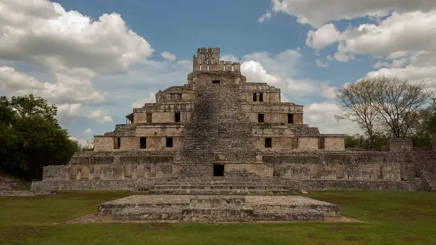
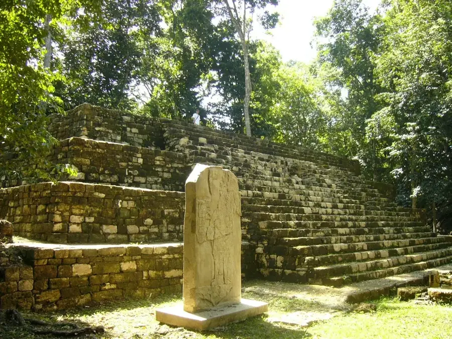
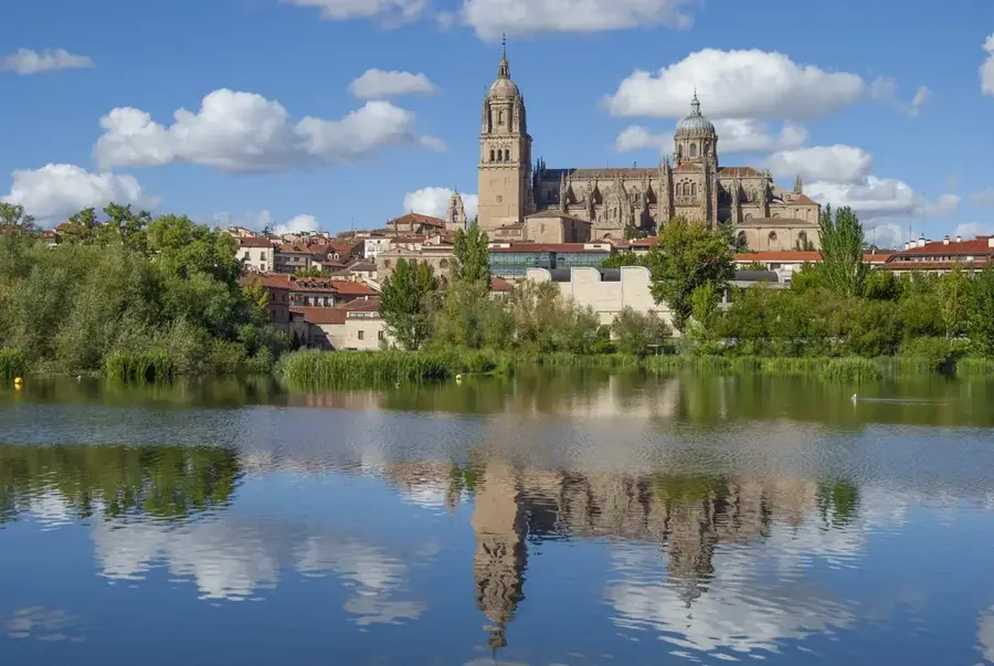
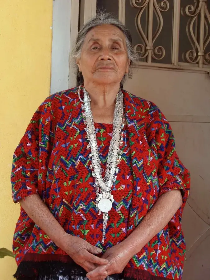
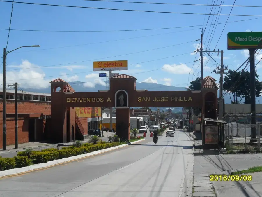
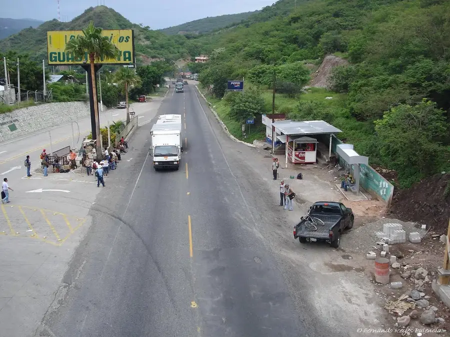
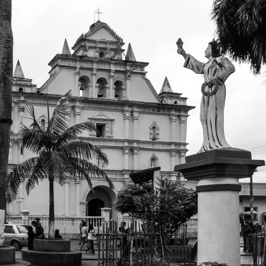
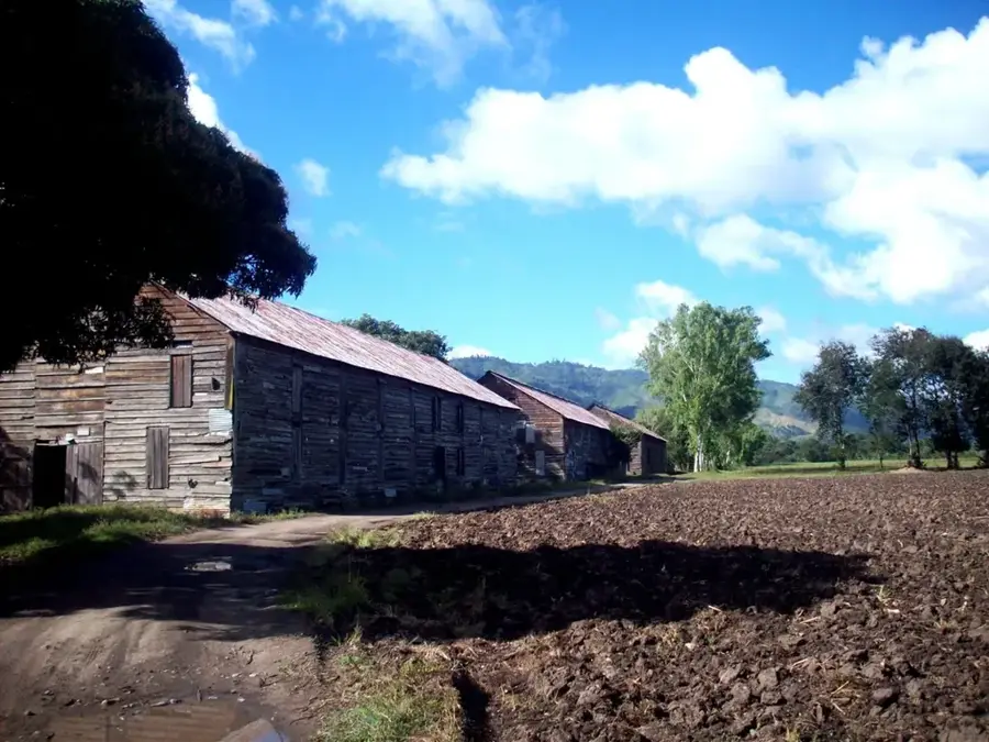
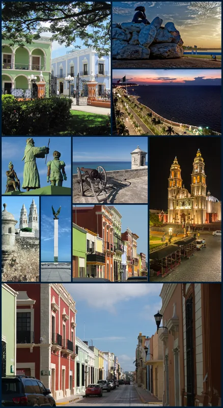
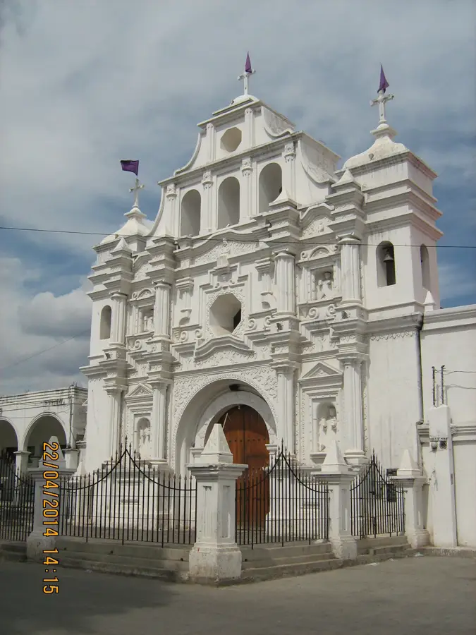
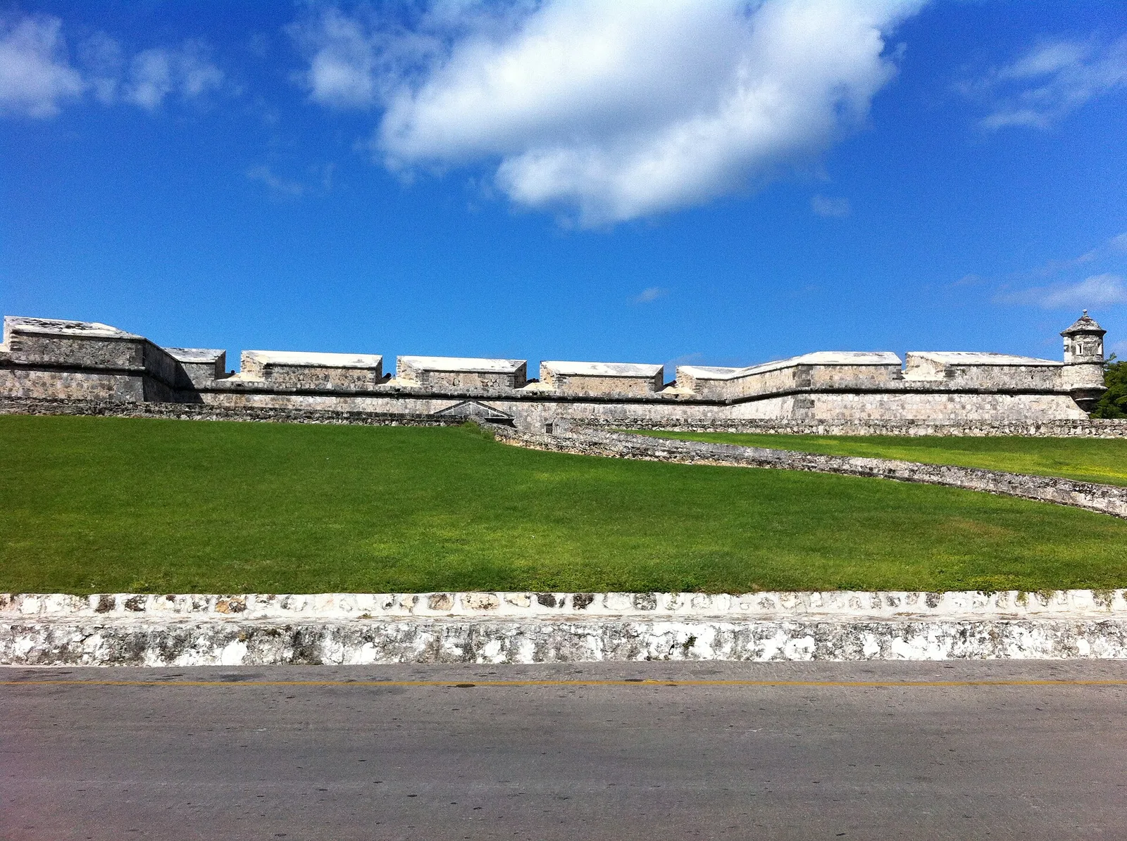
Explore nearby
Notable places around
Route planner — Car & Motorhome
Where do you start? We build the route here, with stops and country notes along the way.
© OpenStreetMap contributors · OpenRouteService
Sights nearby
Frequently asked questions
When can you see the Quetzal?
What are the trails like?
Is the park by the main road?
Do I need a guide?
How much is the entry fee?
Quetzal Biotope: where is it located?
Quetzal Biotope: when is the best time to visit?
Quetzal Biotope: why is it worth visiting?

Nearby cities
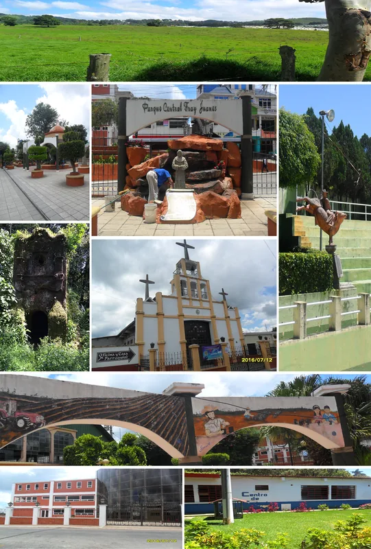
History & landmarks
More places