Plizio Visual Lab
Chisec
ℹ️Practical info — Chisec
▾
🌤 Weather — 5 days
📍 Nearby
Sights nearby
💡 Tips
- Bring a waterproof bag for your belongings when visiting the local caves.
- Wear sturdy shoes with good grip for muddy trails.
- Hire a local guide for cave exploration; it is safer and supports the community.
- Mosquito repellent is a must, especially in the evening.
- Try visiting the local market early in the morning for the freshest fruits.
🍽 Food
A traditional indigenous turkey soup served in the local 'comedores'.
Often served fried, best tried at the small eateries near the river.
Enjoy a rich, traditional cacao beverage at the local market.
🛍 Shopping · 🧘 Quiet spots
Look for colorful handwoven fabrics specific to the Alta Verapaz region.
The region is famous for its spices, best bought fresh at the central market.
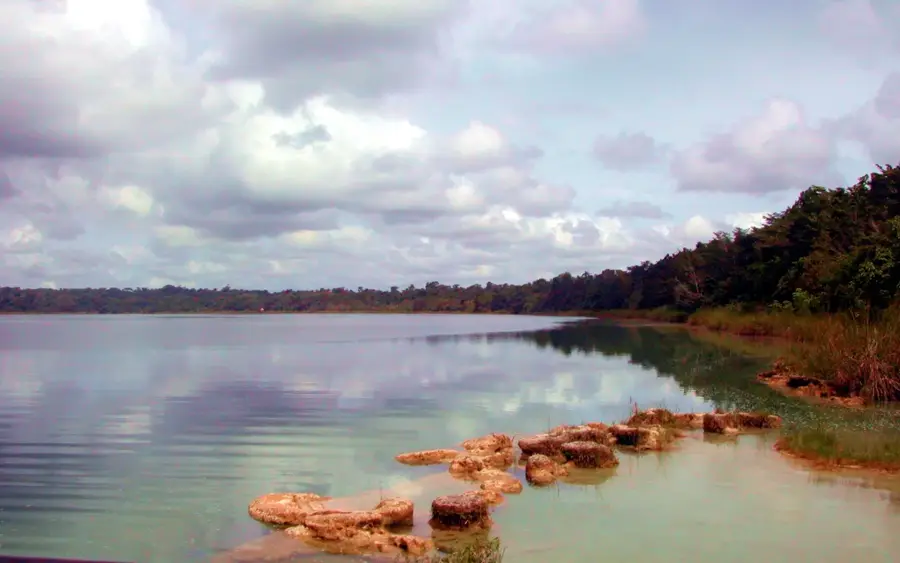
A short drive outside the town, this reserve provides quiet natural pools and walking trails.
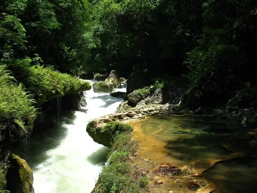
Find a quiet spot along the riverbank to take in the natural scenery.
Water temperature…
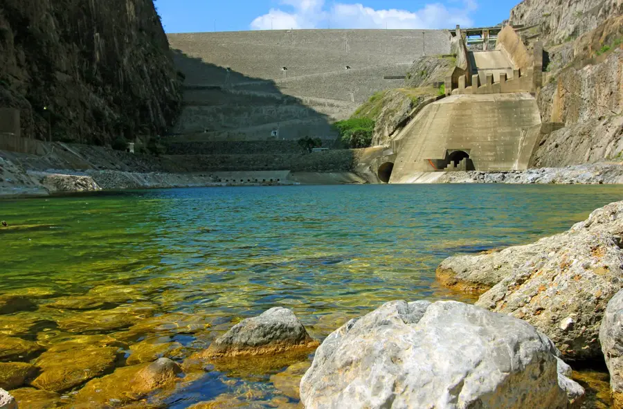
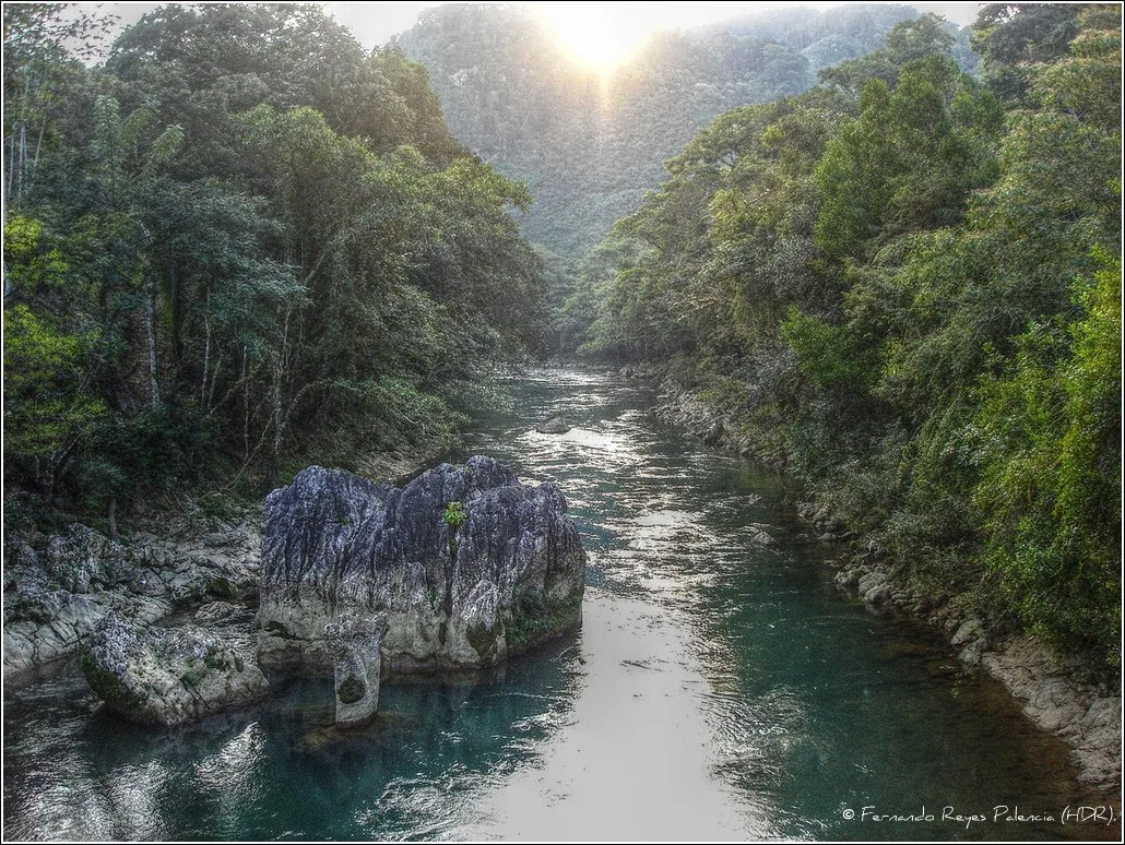
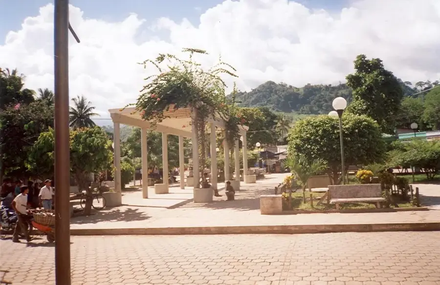
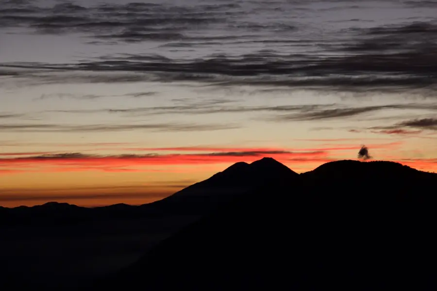
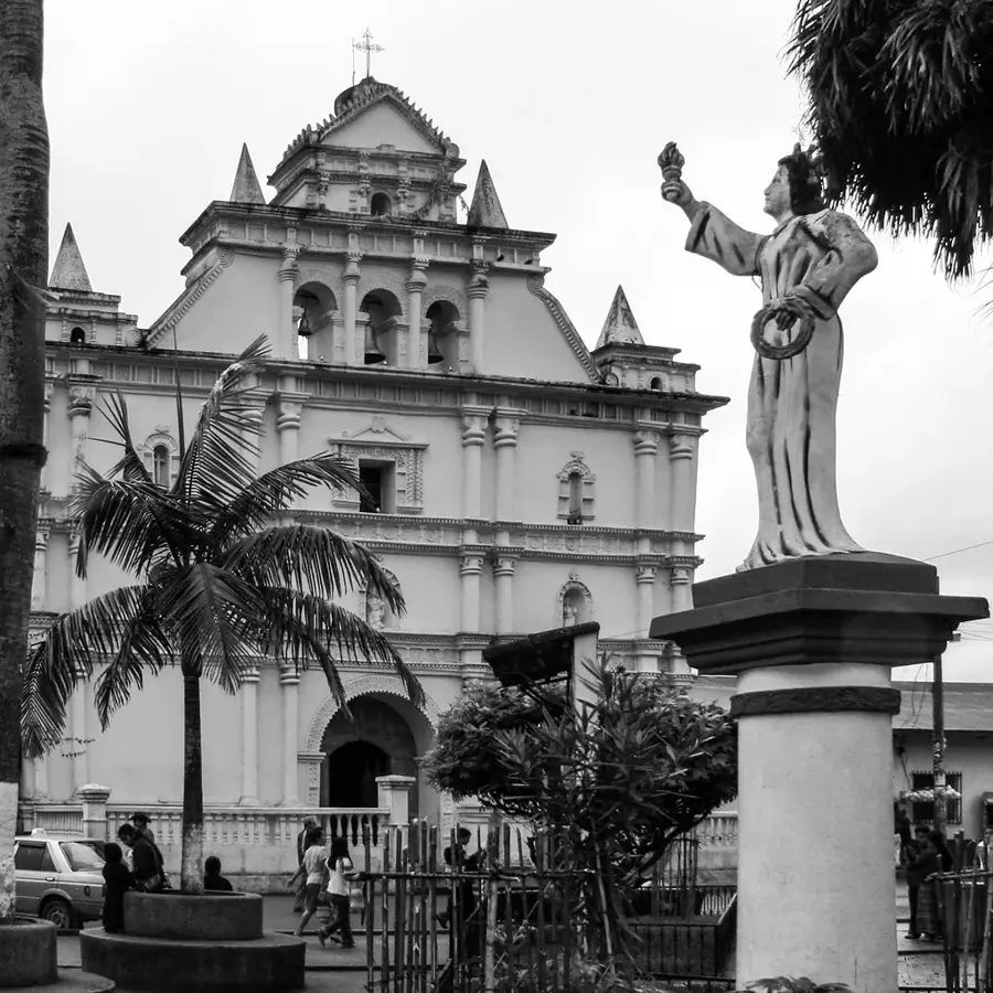
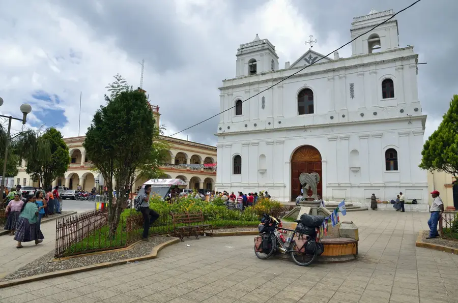
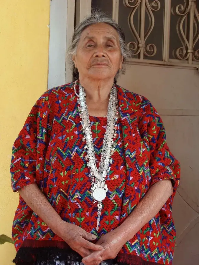
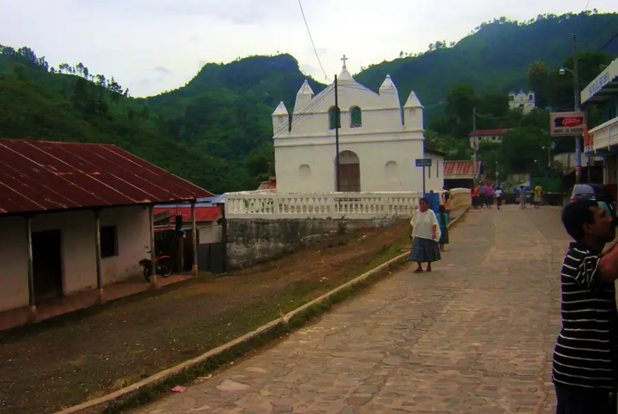
Chisec is a strategic municipality in northern Alta Verapaz, acting as a gateway between the central highlands and the tropical lowlands of Petén. The area is predominantly inhabited by the Q'eqchi' Mayan community, whose culture and language define the local identity. Geographically, Chisec is characterized by its dramatic karst topography, which features an extensive network of caves, most notably the Candelaria Caves. These caves were historically significant as sacred sites and part of a major trade route for the ancient Maya. In recent years, Chisec has transformed into a hub for community-based ecotourism, leveraging its proximity to natural wonders like the Laguna Lachuá National Park. The local economy is diversifying from traditional subsistence farming to include sustainable forestry and tourism services. Its location along the Northern Transversal Highway has facilitated economic growth and improved connectivity with the rest of the country.
- Location: Guatemala
- Top sights: Parking Bombil Pek Caves · Cueva Jul Iq'
- Nearby: Tactic (7 km)
- Population: ~17.018 (2020)
Best time to visit & climate
The most pleasant time to visit is Jan, Feb, Dec.
| Jan | Feb | Mar | Apr | May | Jun | Jul | Aug | Sep | Oct | Nov | Dec | |
|---|---|---|---|---|---|---|---|---|---|---|---|---|
| Avg °C | 22 | 24 | 26 | 29 | 28 | 26 | 25 | 26 | 25 | 24 | 23 | 22 |
| Rain mm | 59 | 33 | 32 | 43 | 151 | 269 | 187 | 258 | 333 | 225 | 101 | 63 |
Geography
Facts
- Chisec gained municipal status in the late 19th century but grew rapidly after 1970.
- The town is situated at a low altitude of 230 meters, resulting in a hot and humid climate.
- The Candelaria Caves are over 22 kilometers long and were sacred to the ancient Maya.
- Approximately 95% of the population belongs to the Q'eqchi' indigenous group.
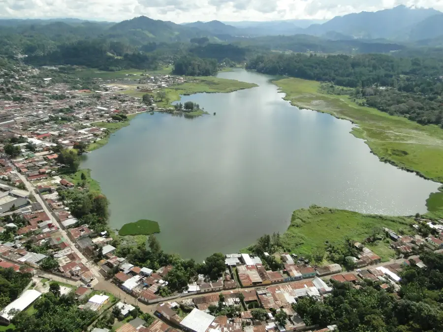
- Laguna Lachuá is a cenote-like lake famous for its circular shape and extreme depth.
- The municipality is a major producer of cardamom, one of Guatemala's top exports.
Explore nearby
Notable places around
Route planner — Car & Motorhome
Where do you start? We build the route here, with stops and country notes along the way.
© OpenStreetMap contributors · OpenRouteService
Frequently asked questions
What natural wonders are there in Chisec?
When is the best time to visit the caves?
Is Laguna Lachuá easily accessible?
Is there accommodation in Chisec?
What is special about the culture in Chisec?
Chisec: where is it located?
Chisec: what is there to see?
Chisec: when is the best time to visit?
Chisec: why is it worth visiting?

Nearby cities
Nature
More places