Plizio Visual Lab
Cerro Teotepeque

Weather…
Water temperature…
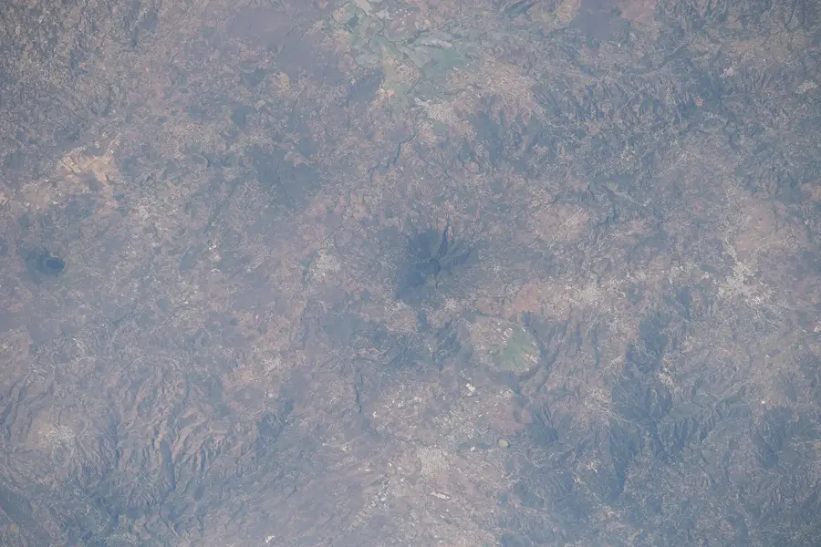
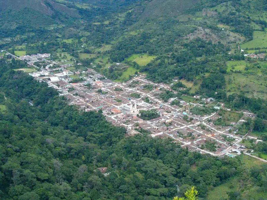
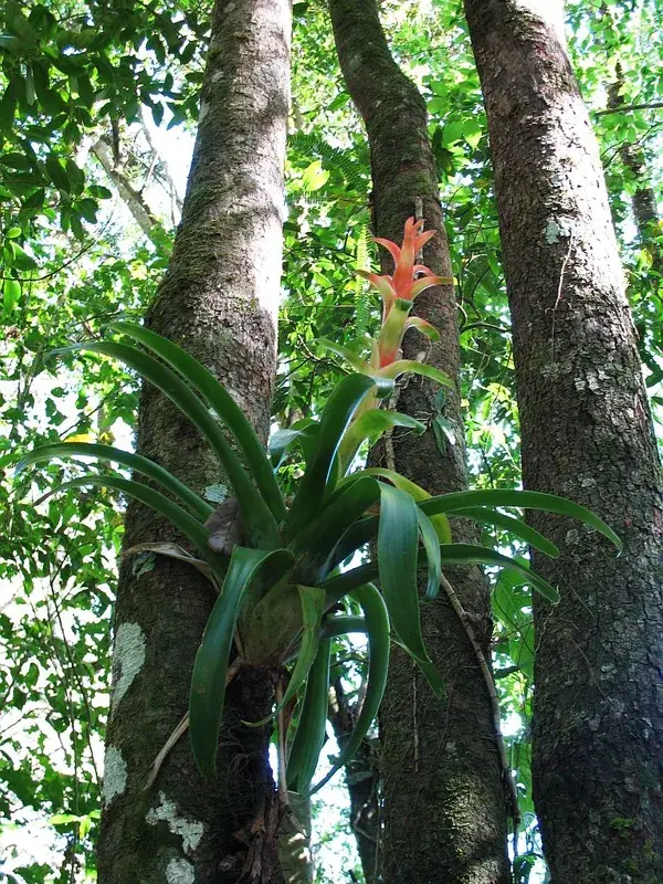
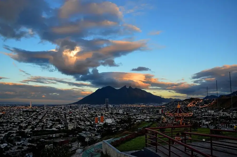
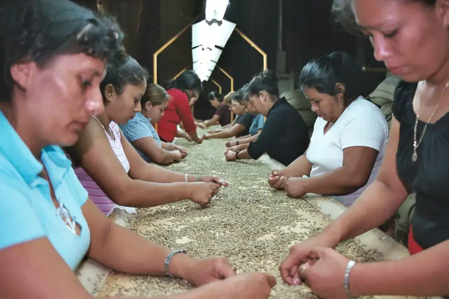
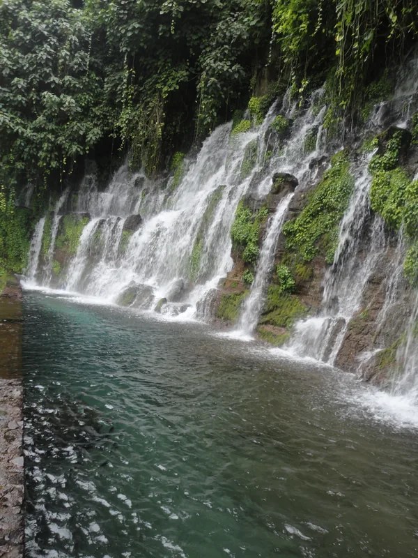
Cerro Teotepeque is a significant peak in the Cordillera del Bálsamo range in western El Salvador, located within the La Libertad Department. Reaching an elevation of approximately 1,000 meters, it overlooks the rugged hinterland of the Pacific coast and provides expansive oceanic views. The name Teotepeque originates from Nahuatl, meaning 'God's Mountain', indicating its sacred importance to pre-Columbian cultures. Geologically, the hill is part of an ancient mountain system primarily composed of volcanic rock and thick layers of consolidated ash. The region is historically renowned for the extraction of 'Balsam of Peru', a valuable resin harvested from the native balsam trees that thrive on its slopes. The vegetation consists of tropical mountain forest interspersed with coffee plantations that cling to the steep hillsides. Due to its proximity to the coast, the climate is notably more pleasant than the surrounding lowlands, benefiting from cool evening sea breezes. Nearby local communities continue to practice traditional agricultural methods and the artisanal harvesting of the famous balsam resin today.
- Location: El Salvador
- Nearby: Armenia (7 km)
Best time to visit & climate
The most pleasant time to visit is Jan, Feb, Dec.
| Jan | Feb | Mar | Apr | May | Jun | Jul | Aug | Sep | Oct | Nov | Dec | |
|---|---|---|---|---|---|---|---|---|---|---|---|---|
| Avg °C | 26 | 27 | 28 | 28 | 28 | 27 | 27 | 27 | 26 | 26 | 26 | 26 |
| Rain mm | 4 | 5 | 8 | 39 | 193 | 232 | 198 | 246 | 283 | 226 | 48 | 10 |
📋 Practical info
Geography
Facts
- The elevation of Cerro Teotepeque is around 1,000 meters.
- It is situated within the Cordillera del Bálsamo mountain range.
- The Nahuatl name 'Teotepeque' translates to 'Mountain of God'.
- The area is famous for the production of authentic balsam resin.
- The peak is located in the La Libertad Department near the coast.
- It provides a strategic vantage point over the western Pacific shoreline.
Explore nearby
Notable places around
Route planner — Car & Motorhome
Where do you start? We build the route here, with stops and country notes along the way.
© OpenStreetMap contributors · OpenRouteService
Sights in the town Cerro Teotepeque (1)
Sights nearby
Frequently asked questions
Is Cerro Teotepeque developed for tourism?
What is the best time to visit?
Are dogs allowed?
Are there dangerous wildlife?
Is a visa needed?
Cerro Teotepeque: where is it located?
Cerro Teotepeque: when is the best time to visit?
Cerro Teotepeque: why is it worth visiting?

Nearby cities


History & landmarks


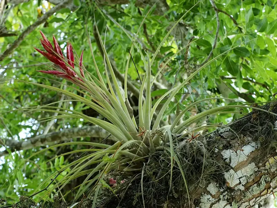
Nature


More places