Plizio Visual Lab
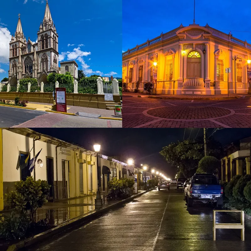
Colón
ℹ️Practical info — Colón
▾
🌤 Weather — 5 days
📍 Nearby
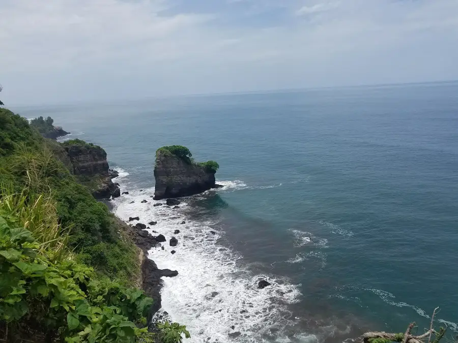
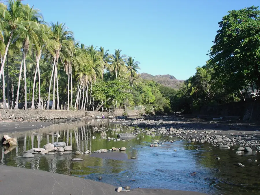
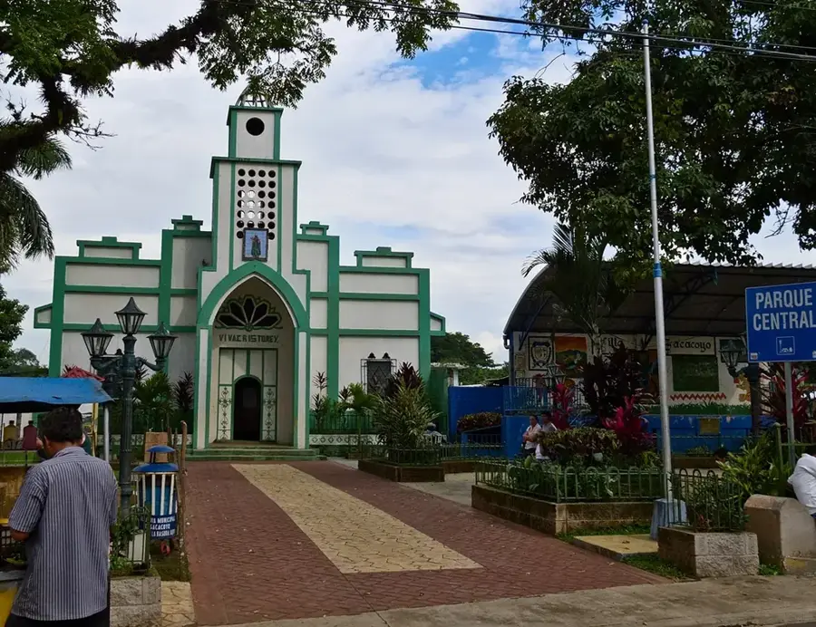
Sights nearby
💡 Tips
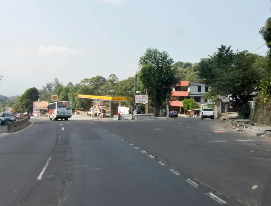
- The city is heavily trafficked as it sits on the Pan-American Highway (CA-1). Allow extra travel time during rush hour.
- For travel to nearby Santa Tecla or San Salvador, ride-hailing apps like Uber are the safest and most convenient option.
- Keep an eye on your valuables in busy areas. The city is very commercial and bustling.
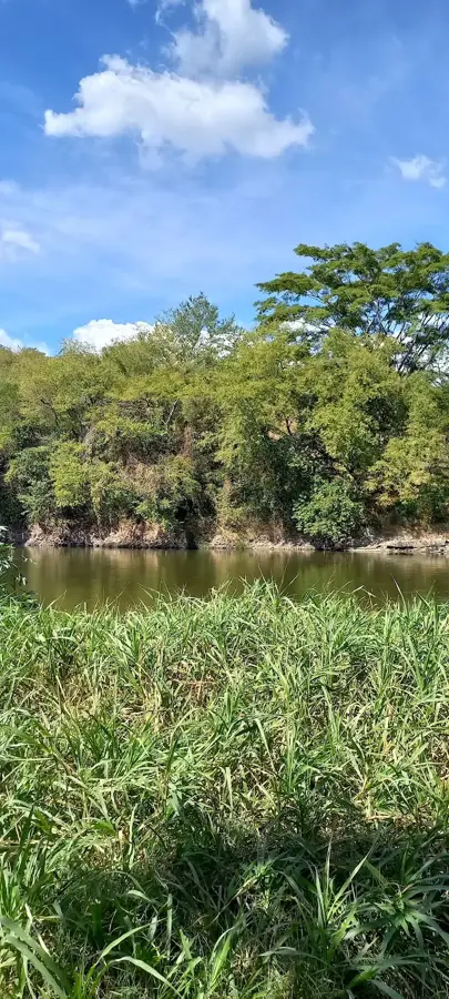
- Many nature destinations in the La Libertad region are easily accessible by car from here.
🍽 Food
The national dish of El Salvador. Thick corn tortillas filled with cheese, beans, or meat. Found on every street corner in local 'Pupuserías'.
Fried cassava root, often served with chicharrón (pork cracklings) and cabbage slaw. A popular snack in market areas.
A refreshing sweet drink made from the seeds of the Morro tree, spiced with cocoa and cinnamon.
🛍 Shopping · 🧘 Quiet spots
The municipal market is the best place to observe local life and buy fresh fruits or simple household goods.
In the nearby Lourdes district, you will find modern shopping malls if you are looking for international brands or air-conditioned stores.
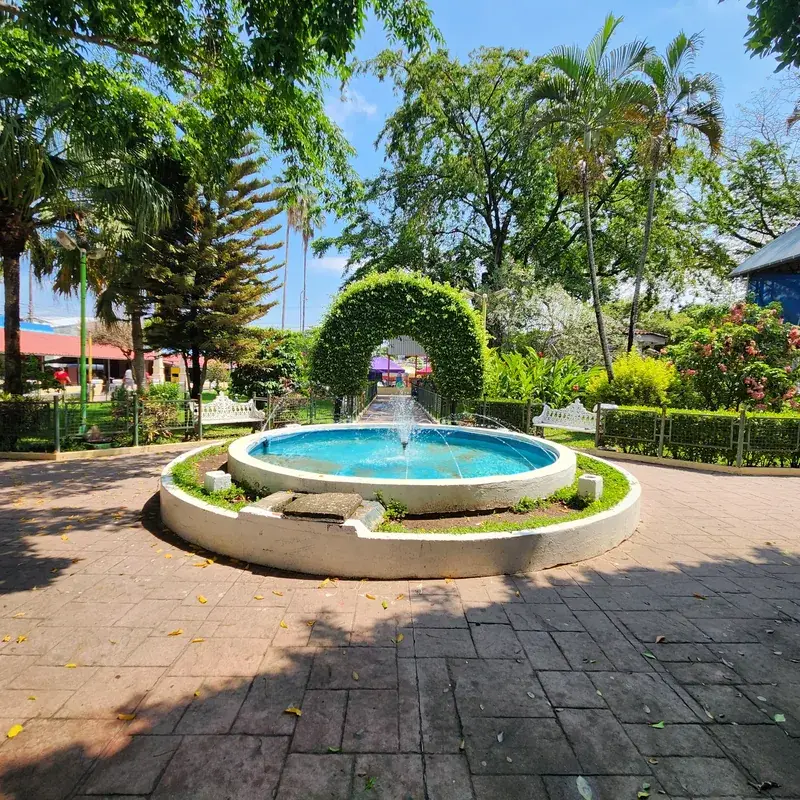
The small parks and squares in residential areas offer some peace from the heavy traffic of the main roads.
For a more relaxed atmosphere and beautiful parks, a short trip to neighboring Santa Tecla is worthwhile.
Water temperature…
The city of Colón is located in the department of La Libertad, El Salvador, approximately 20 kilometers west of the capital, San Salvador. The municipality was officially established on April 20, 1886, and has experienced significant population growth due to its strategic location along the Pan-American Highway. Geographically, Colón sits in a transition zone between the coastal plains and the central highlands, resulting in a varied topography. The local economy was historically based on coffee cultivation, but in recent decades it has evolved into a major residential and commercial hub for the metropolitan area. Due to its proximity to the San Salvador volcano and the Cordillera del Bálsamo, the region features fertile volcanic soils. Today, Colón serves as a critical transportation node connecting the western part of the country with the capital, blending suburban development with traditional agricultural landscapes.
- Location: El Salvador
- Nearby: Nueva Concepción (6 km)
Best time to visit & climate
The most pleasant time to visit is Jan, Feb, Dec.
| Jan | Feb | Mar | Apr | May | Jun | Jul | Aug | Sep | Oct | Nov | Dec | |
|---|---|---|---|---|---|---|---|---|---|---|---|---|
| Avg °C | 26 | 27 | 28 | 28 | 28 | 27 | 27 | 27 | 26 | 26 | 26 | 26 |
| Rain mm | 4 | 5 | 8 | 39 | 193 | 232 | 198 | 246 | 283 | 226 | 48 | 10 |
Geography
Facts
- Date of municipal foundation: April 20, 1886.
- Situated at an average elevation of 660 meters above sea level.
- The total area of the municipality is approximately 84 square kilometers.
- Strategic location on the Pan-American Highway route.
- Part of the San Salvador Metropolitan Area (AMSS).
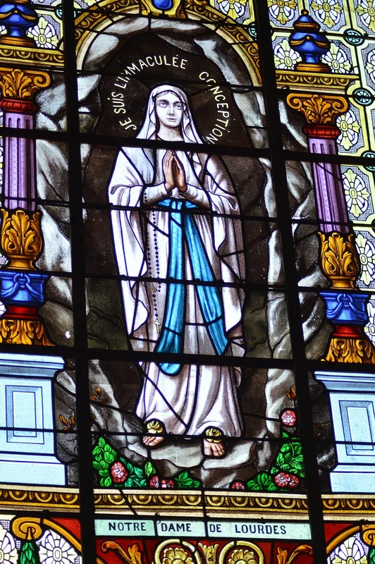
- The patron saint of the city is the Virgin of Fatima.
Explore nearby
Notable places around
Route planner — Car & Motorhome
Where do you start? We build the route here, with stops and country notes along the way.
© OpenStreetMap contributors · OpenRouteService
Sights in the town Colón (1)
Frequently asked questions
Is Colón a city for tourists?
How is the best way to get around?
Are there good shopping opportunities?
What should one consider when visiting?
Is the city well-connected?
Colón: where is it located?
Colón: when is the best time to visit?
Colón: why is it worth visiting?

Nearby cities

History & landmarks
More places