Plizio Visual Lab
Chinameca
ℹ️Practical info — Chinameca
▾
🌤 Weather — 5 days
📍 Nearby
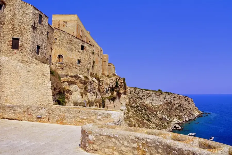
Sights nearby
💡 Tips
- Start your day early to explore the foothills of the Chinameca Volcano before the midday heat sets in.
- Local buses (rutas) are the most authentic way to travel, but check schedules in advance.
- Carry small denomination bills (US Dollars are used), as change for large notes can be scarce in smaller shops.
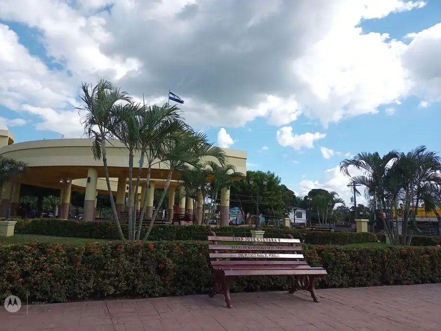
- Visit the central plaza in the late afternoon when locals gather and the temperature drops.
🍽 Food
Try them at local pupuserías around the main square.
Fried cassava often served with curtido, found at street stalls.
A warm, sweet corn beverage, first-rate for chilly evenings.
🛍 Shopping · 🧘 Quiet spots
Fresh produce and local spices.
Look for handmade crafts and textiles near the church.
Peaceful trails offering great views of the region.
Small green spaces offering a shaded retreat.
Water temperature…
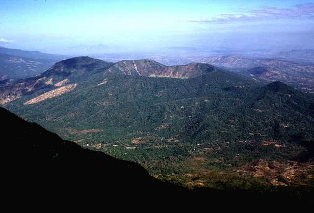
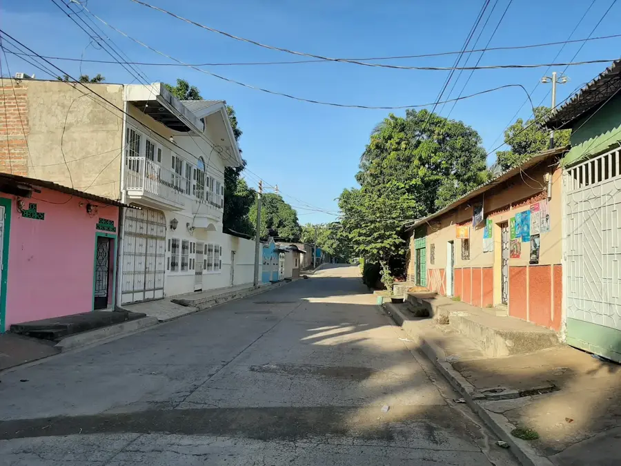
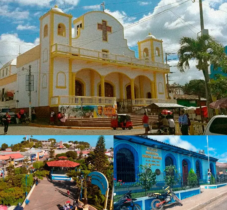
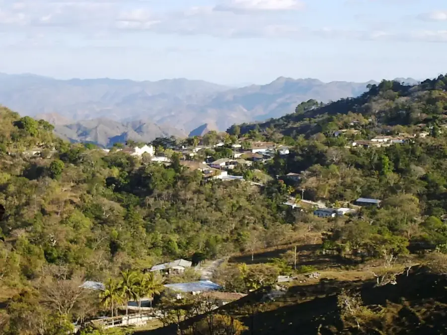
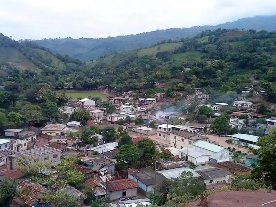
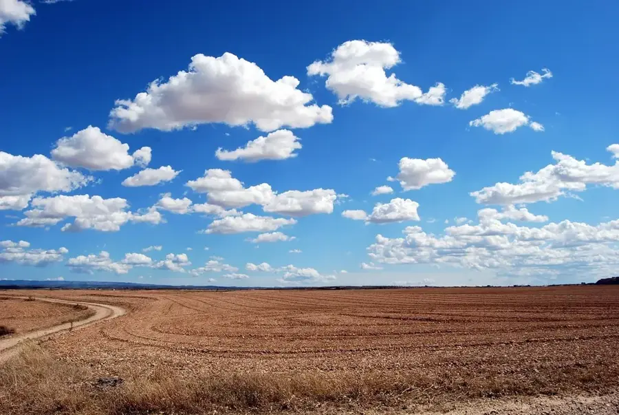
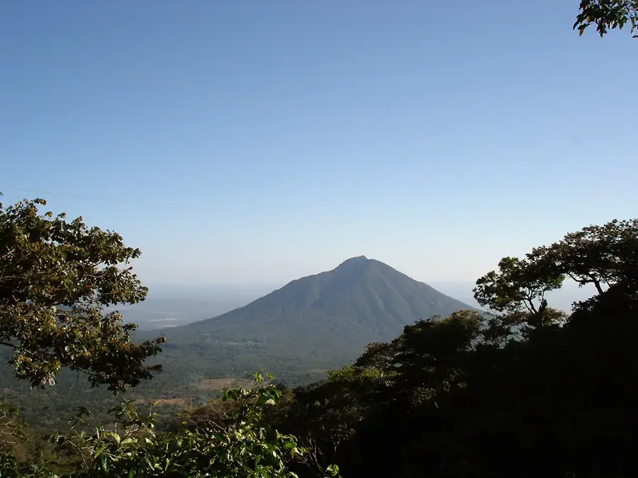
Chinameca is located at the foot of the volcano of the same name in the San Miguel Department, making it one of the most important towns in eastern El Salvador. The town is renowned for its rich coffee-growing tradition, as the fertile slopes of the Chinameca volcano provide convenient conditions for producing high-quality beans. Historically, the region was struck by a severe earthquake in 1951, which destroyed large parts of the city and required extensive reconstruction efforts. Despite this natural disaster, Chinameca has maintained its character as a bustling commercial hub and is known for its architectural blend of colonial style and modern influences. Geographically, the town is surrounded by an impressive mountain landscape and lush vegetation, making it an attractive destination for nature enthusiasts. The local economy relies on coffee, trade, and the production of agricultural goods for the regional market.
- Location: El Salvador
- Nearby: San Rafael Oriente (8 km)
- Population: ~8.646 (2012)
Best time to visit & climate
The most pleasant time to visit is Jan, Nov, Dec.
| Jan | Feb | Mar | Apr | May | Jun | Jul | Aug | Sep | Oct | Nov | Dec | |
|---|---|---|---|---|---|---|---|---|---|---|---|---|
| Avg °C | 27 | 28 | 29 | 29 | 28 | 27 | 28 | 27 | 26 | 26 | 26 | 26 |
| Rain mm | 3 | 4 | 6 | 32 | 169 | 193 | 155 | 198 | 234 | 204 | 41 | 10 |
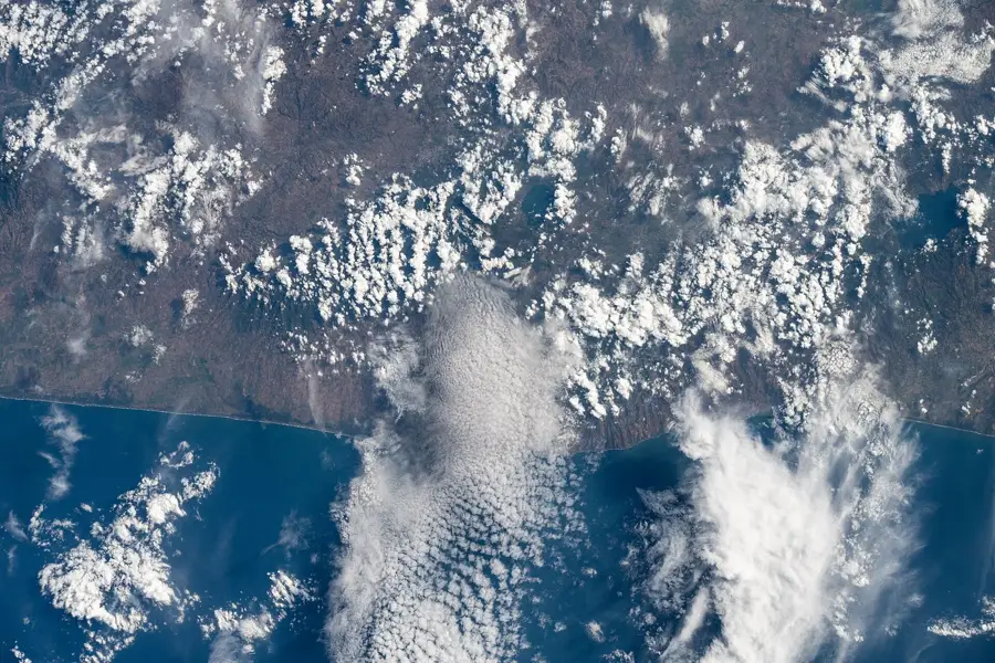
Geography
Facts
- The town is located at the base of the Chinameca (El Pacayal) volcano.
- A 6.2 magnitude earthquake severely damaged the town on May 6, 1951.
- It is a major center for coffee production in the San Miguel region.
- The elevation above sea level is approximately 600 meters.
- The name means 'City of the Chinamites' in the Nahuatl language.
- The municipality is part of the eastern San Miguel Department.
Explore nearby
Notable places around
Route planner — Car & Motorhome
Where do you start? We build the route here, with stops and country notes along the way.
© OpenStreetMap contributors · OpenRouteService
Sights in the town Chinameca (1)
Frequently asked questions
Why is Chinameca worth visiting?
Can you explore the area on foot?
How are the locals?
What should one keep in mind when visiting?
Are there good viewpoints there?
Chinameca: where is it located?
Chinameca: when is the best time to visit?
Chinameca: why is it worth visiting?

Nearby cities
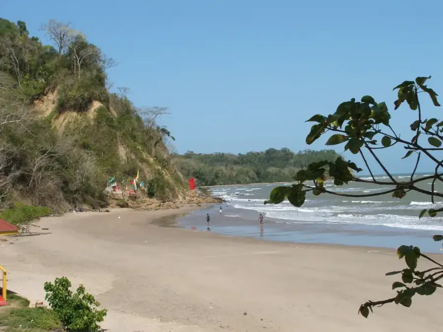

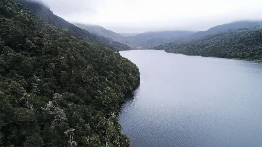
Nature

More places