Plizio Visual Lab
Chilanga

ℹ️Practical info — Chilanga
▾
🌤 Weather — 5 days
📍 Nearby
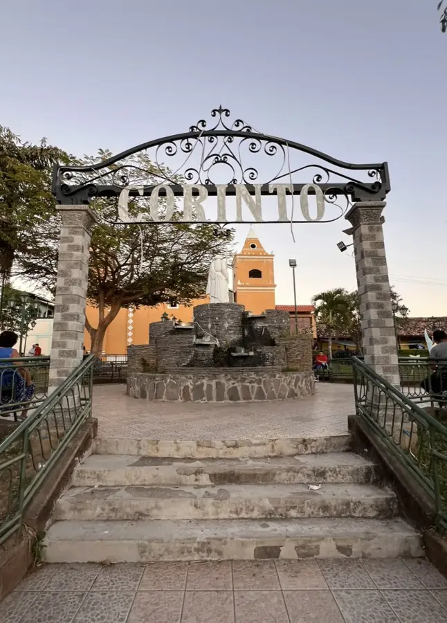
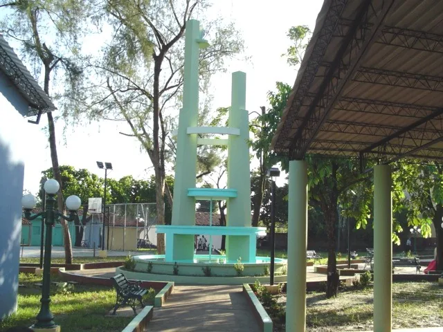
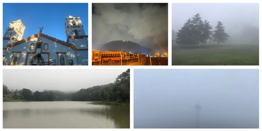
Sights nearby
💡 Tips
- Bring enough cash from a larger city, as ATMs are scarce or unavailable in town.
- If you are driving, ensure your vehicle can handle steep, winding rural roads.
- The weather is often cooler in the surrounding hills, so a light jacket is useful in the evenings.
- Respect the quiet, rural pace of life and the traditions of the local Lenca indigenous community.
🍽 Food
Traditional stuffed tortillas; look for local women cooking them on the street in the evenings.
A hearty free-range chicken soup, a very popular weekend favorite.
A warm, sweet corn drink that is excellent for cooler evenings.
🛍 Shopping · 🧘 Quiet spots
Purchase fresh coffee beans directly from farmers in the nearby hills.
Traditional clay items occasionally sold in the local markets.
A quiet spot around the local church to watch the slow-paced village life.
Take a short hike outside the town center for uninterrupted nature views.
Water temperature…
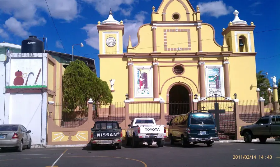
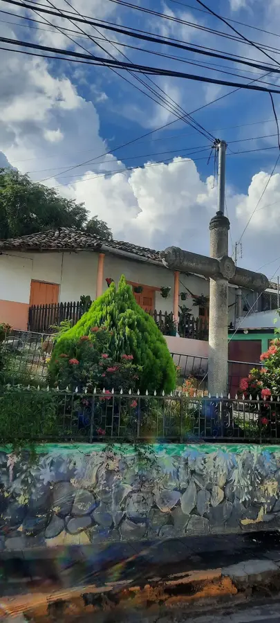
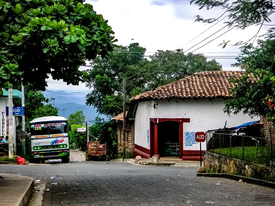
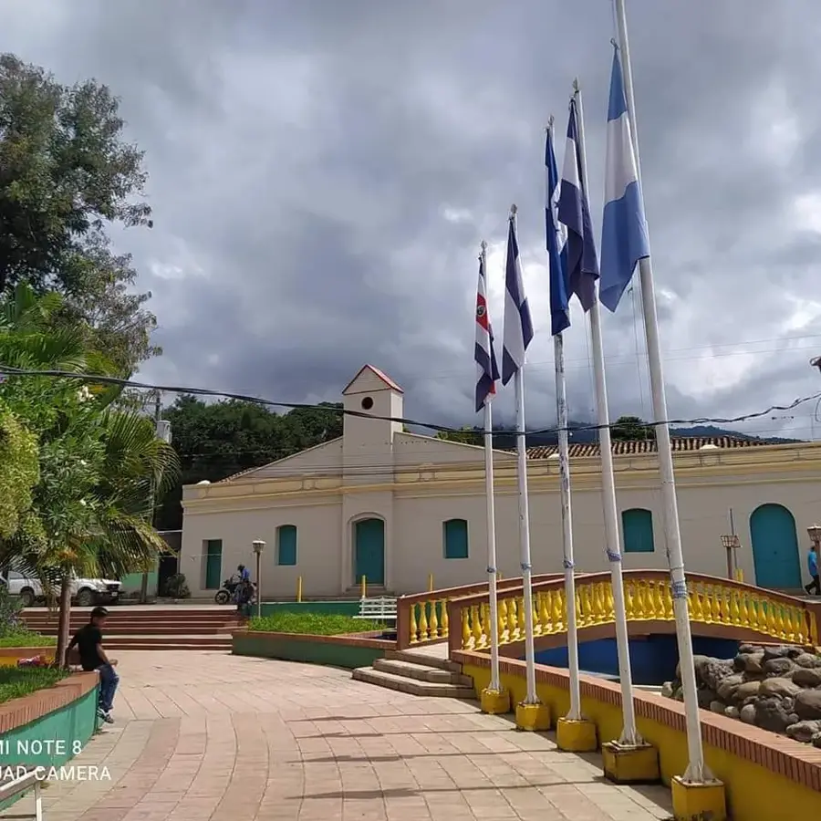
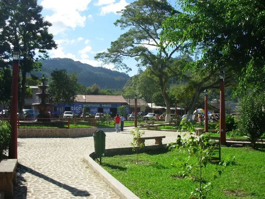
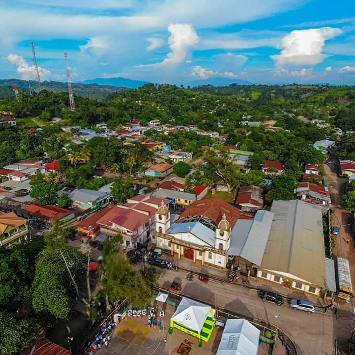
Chilanga is a tradition-rich municipality in the Morazán Department, deeply rooted in the indigenous Lenca culture. The name Chilanga is derived from Lenca roots, meaning place of longing or hope. Geographically, the town is located in a mountainous region in northeastern El Salvador, giving it a pleasant, cool climate and lush vegetation. The economy is traditionally based on the cultivation of basic grains, coffee, and cattle ranching, with the production of henequen (agave fiber) also being historically significant. During the Salvadoran Civil War, the Morazán region was the scene of intense fighting, and Chilanga was no exception, shaping the resilience of the local population. Today, the town is known for its cultural festivals, particularly the celebrations in honor of the Virgin of the Conception in December. The architecture is characterized by simple, often colorful houses that reflect the rural charm of the Morazán region.
- Location: El Salvador
- Nearby: Jocoro (6 km)
- Population: ~16.152 (2026)
Best time to visit & climate
The most pleasant time to visit is Jan, Nov, Dec.
| Jan | Feb | Mar | Apr | May | Jun | Jul | Aug | Sep | Oct | Nov | Dec | |
|---|---|---|---|---|---|---|---|---|---|---|---|---|
| Avg °C | 27 | 28 | 29 | 29 | 28 | 27 | 27 | 27 | 26 | 26 | 26 | 26 |
| Rain mm | 3 | 3 | 6 | 35 | 190 | 199 | 136 | 186 | 246 | 216 | 41 | 10 |
Geography
Facts
- Chilanga is situated at an elevation of approximately 380 meters.
- The name is a term from the nearly extinct Lenca language.
- The municipality covers an area of about 34.36 square kilometers.
- Historically, the region was known for the extraction of textile fibers.
- The patron saint of the town is the Virgin of the Immaculate Conception.
- Chilanga belongs to the Gotera district in the eastern part of the country.
Explore nearby
Notable places around
Route planner — Car & Motorhome
Where do you start? We build the route here, with stops and country notes along the way.
© OpenStreetMap contributors · OpenRouteService
Sights in the town Chilanga (1)
Frequently asked questions
What characterizes Chilanga?
Is the place touristically developed?
What is the best way to get to Chilanga?
When should I visit the place?
Is there nature nearby?
Chilanga: where is it located?
Chilanga: when is the best time to visit?
Chilanga: why is it worth visiting?

Nearby cities
History & landmarks

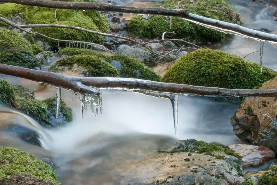
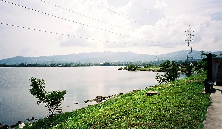
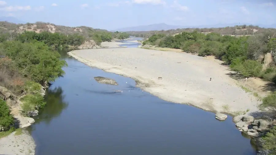
Nature
More places