Plizio Visual Lab
Río Grande de San Miguel
Weather…
Water temperature…
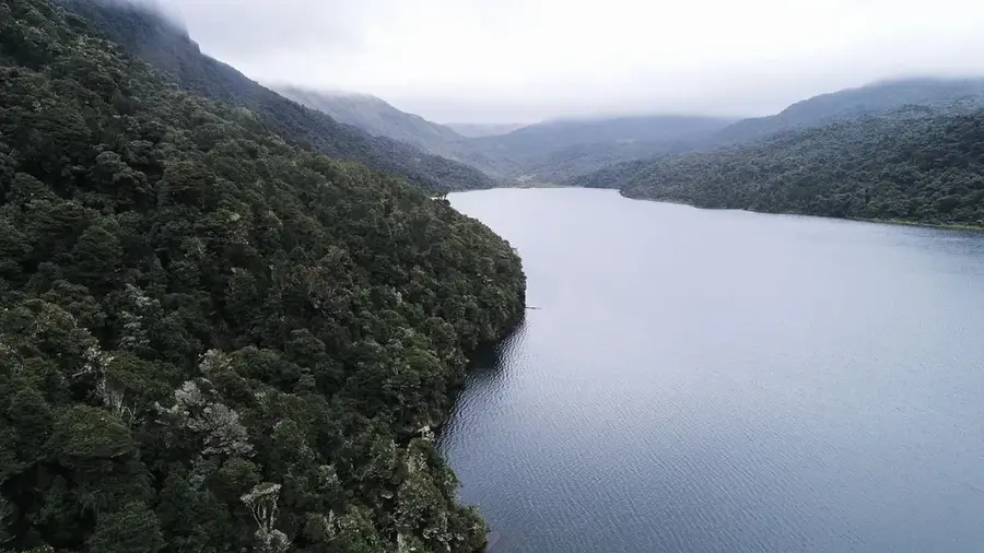
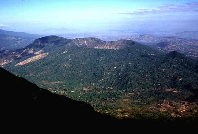
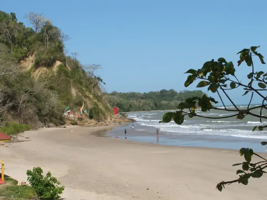
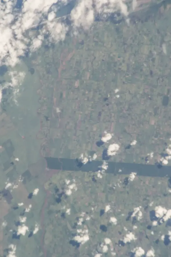
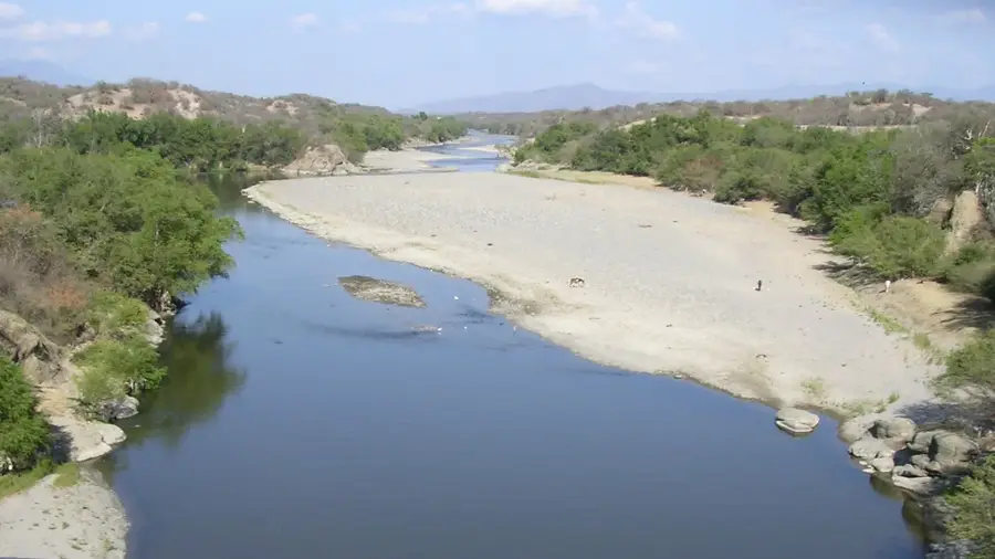
The Río Grande de San Miguel is one of the most significant river systems in eastern El Salvador. Originating in the Sierra Chinameca, it flows for approximately 124 kilometers before discharging into the Pacific Ocean at the Bay of Jiquilisco. Its watershed covers more than 2,200 square kilometers and is vital for the region's agricultural productivity, supporting extensive crops of sugarcane and basic grains, as well as large-scale cattle ranching. The river is the primary water source for important wetlands, including the Olomega Lagoon, a designated RAMSAR site known for its diverse populations of migratory waterbirds and freshwater fish. Along its banks, the river sustains a variety of ecosystems ranging from gallery forests to coastal mangroves. Historically, the river has been the lifeblood for the city of San Miguel and surrounding communities since the colonial era. However, the river currently faces environmental pressures from urban runoff and sedimentation due to upstream deforestation. Conservation initiatives are focused on watershed management and pollution control to preserve the ecological balance of this essential waterway.
- Location: El Salvador
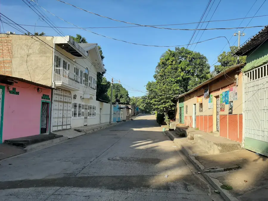
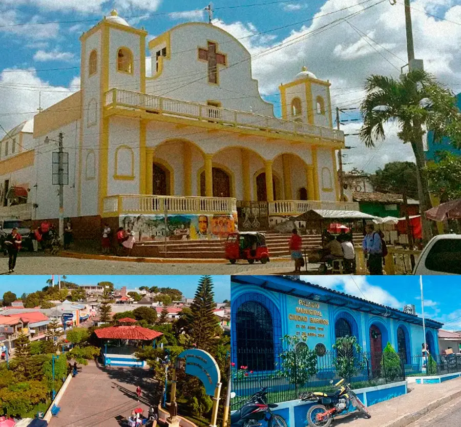
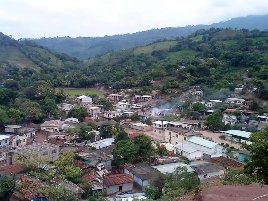
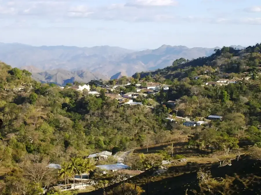
- Nearby: Concepción Batres (6 km)
Best time to visit & climate
The most pleasant time to visit is Jan, Feb, Dec.
| Jan | Feb | Mar | Apr | May | Jun | Jul | Aug | Sep | Oct | Nov | Dec | |
|---|---|---|---|---|---|---|---|---|---|---|---|---|
| Avg °C | 28 | 28 | 29 | 29 | 29 | 29 | 29 | 29 | 28 | 28 | 28 | 28 |
| Rain mm | 3 | 3 | 9 | 38 | 194 | 228 | 179 | 233 | 278 | 245 | 50 | 7 |
📋 Practical info
Geography
Facts
- The river flows for a total distance of 124 kilometers.
- The drainage basin covers an area of 2,247 square kilometers.
- Empties into the Pacific Ocean near the Bay of Jiquilisco.
- Provides the main water inflow for the Olomega Lagoon wetland.
- Primary source of water for irrigation in eastern El Salvador.
- Significant seasonal flooding occurs during the peak rainy months.
Explore nearby
Notable places around
Route planner — Car & Motorhome
Where do you start? We build the route here, with stops and country notes along the way.
© OpenStreetMap contributors · OpenRouteService
Sights nearby
Frequently asked questions
Is the river suitable for fishing?
How is the current?
Are there riverside trails?
Can one swim there?
What is the best time of day?
Río Grande de San Miguel: where is it located?
Río Grande de San Miguel: when is the best time to visit?
Río Grande de San Miguel: why is it worth visiting?

Nearby cities
Nature
More places