Plizio Visual Lab
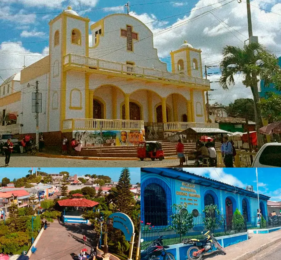
San Rafael Oriente
ℹ️Practical info — San Rafael Oriente
▾
🌤 Weather — 5 days
📍 Nearby
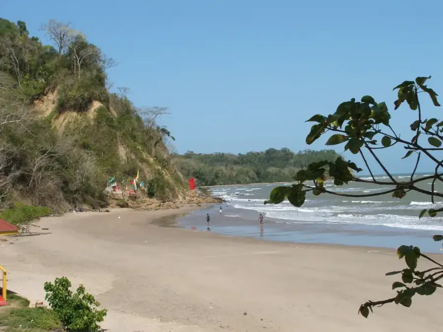
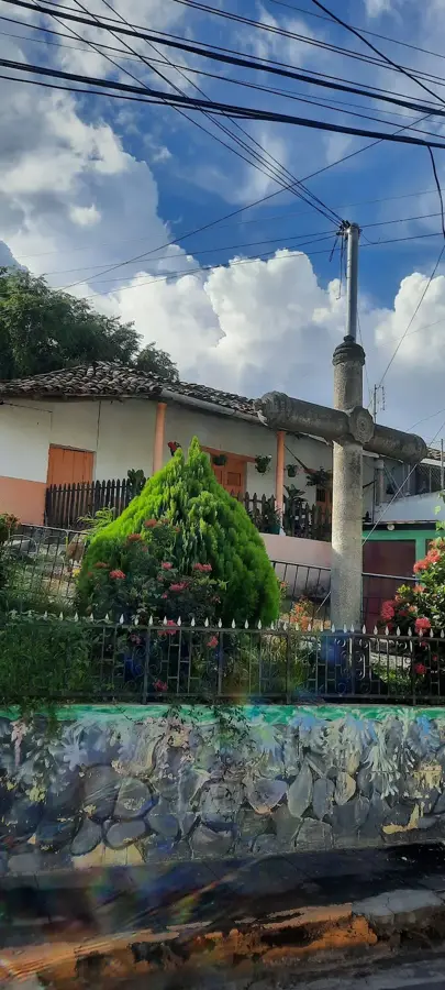
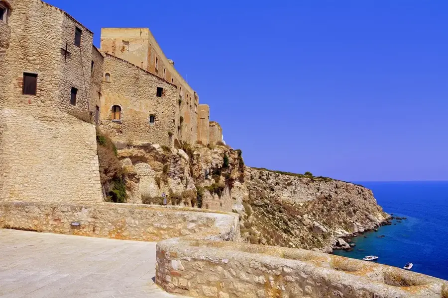
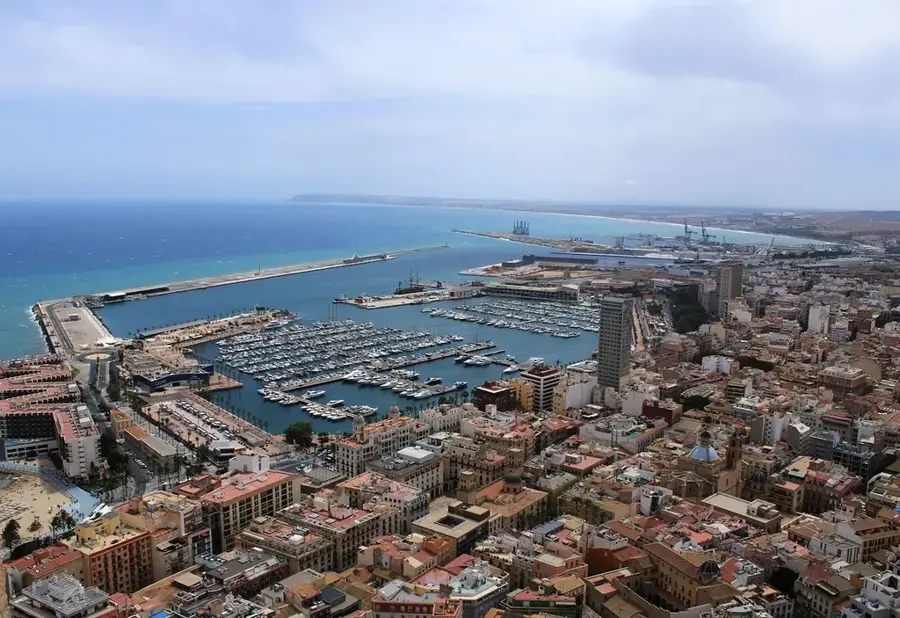
Sights nearby
💡 Tips
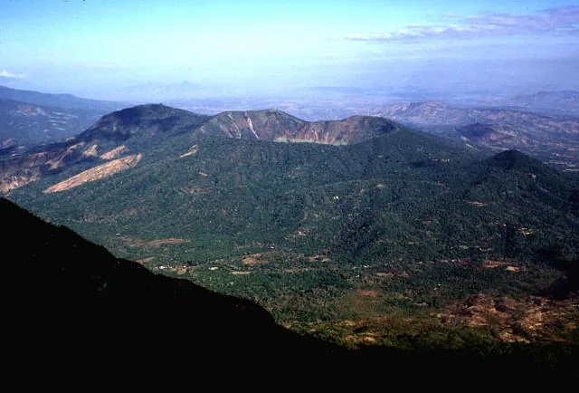
- Enjoy the impressive view of the San Miguel (Chaparrastique) Volcano from the outskirts of the city.
- Visit the local market early in the morning to see the freshest agricultural products of the region.
- Use the frequent bus connections to San Miguel for day trips to the largest city in the East.
- Wear light cotton clothing, as the region is known for its hot and humid climate.
- Watch the sorghum (maicillo) harvest in the surrounding fields if you travel during harvest season.
🍽 Food
Try this traditional sweet cheese cake, often available in local bakeries.
In this region, corn pupusas with 'curtido' (pickled cabbage) are a must-try for dinner.
Look for 'Elotes Locos' (crazy corn), often sold during events at the main square.
🛍 Shopping · 🧘 Quiet spots
Convenient for buying local grains and legumes in bulk or as small samples.
Look for handmade cheese like 'Queso Duro Viejo' in the small shops around town.
A walk along the sorghum fields gives tranquility and an unobstructed view of the volcano.
The area in front of the church is a very peaceful spot outside of service hours.
Water temperature…
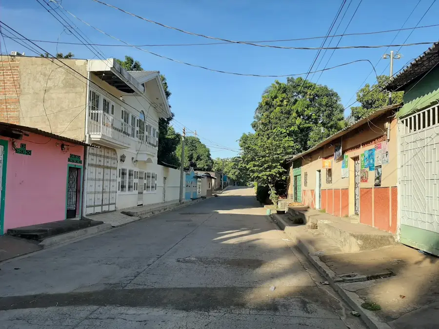
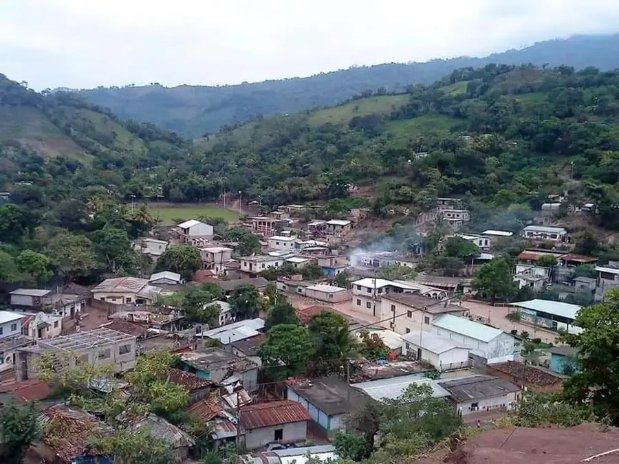
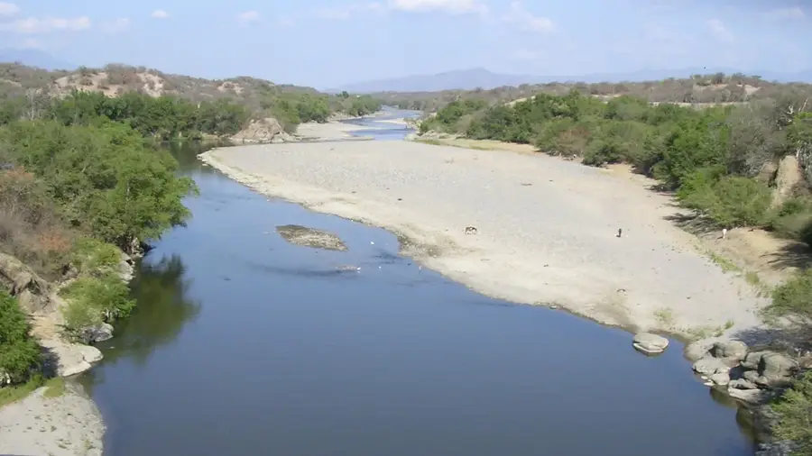
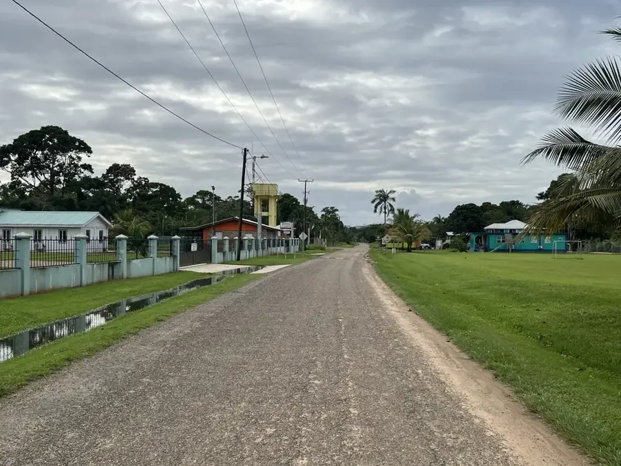
San Rafael Oriente is a municipality in the San Miguel Department, located in eastern El Salvador within a region known for volcanic activity. The town sits near the prominent San Miguel volcano, also known as Chaparrastique, which significantly influences the soil composition and climate of the area. Historically, the settlement grew from agricultural communities that benefited from the fertile volcanic soils provided by its natural surroundings. The local economy focuses primarily on coffee production in the higher elevations and the cultivation of corn and beans in the flatlands. Despite its modest size, San Rafael Oriente serves as an important local commercial hub for the surrounding rural communities. The municipality preserves its traditions through annual patronal festivals that reflect the social cohesion and religious heritage of its residents. In recent years, the town has improved its infrastructure to better serve the needs of its growing population.
- Location: El Salvador
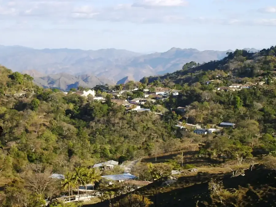
- Nearby: Guatajiagua (6 km)
- Population: ~19.095 (2012)
Best time to visit & climate
The most pleasant time to visit is Jan, Nov, Dec.
| Jan | Feb | Mar | Apr | May | Jun | Jul | Aug | Sep | Oct | Nov | Dec | |
|---|---|---|---|---|---|---|---|---|---|---|---|---|
| Avg °C | 27 | 28 | 29 | 29 | 28 | 27 | 28 | 27 | 26 | 26 | 26 | 26 |
| Rain mm | 3 | 4 | 6 | 32 | 169 | 193 | 155 | 198 | 234 | 204 | 41 | 10 |
Geography
Facts
- The municipality belongs to the San Miguel Department in the east.
- The Chaparrastique volcano is located in close proximity to the town.
- The town sits at an elevation of approximately 110 meters above sea level.
- Coffee, corn, and beans are the primary agricultural products.
- Patronal festivals are celebrated in October in honor of Saint Raphael the Archangel.
- The settlement reached the official status of 'Villa' in the 19th century.
Explore nearby
Notable places around
Route planner — Car & Motorhome
Where do you start? We build the route here, with stops and country notes along the way.
© OpenStreetMap contributors · OpenRouteService
Sights in the town San Rafael Oriente (1)
Frequently asked questions
What is worth seeing in San Rafael Oriente?
Is San Rafael Oriente a tourist area?
How is the weather there in summer?
Where can you eat well there?
Is English widely spoken in San Rafael?
San Rafael Oriente: where is it located?
San Rafael Oriente: when is the best time to visit?
San Rafael Oriente: why is it worth visiting?

Nearby cities


Nature

More places