Plizio Visual Lab
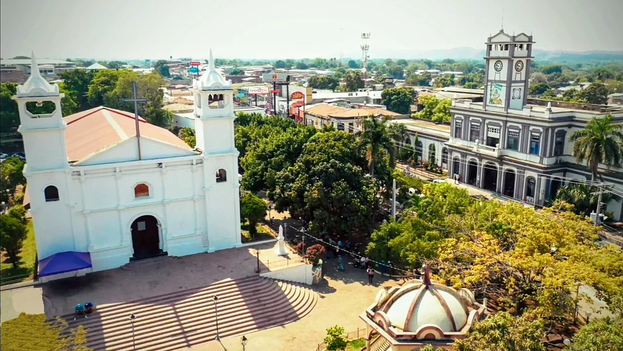
Concepción Batres
ℹ️Practical info — Concepción Batres
▾
🌤 Weather — 5 days
📍 Nearby
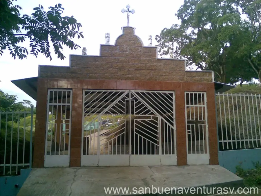
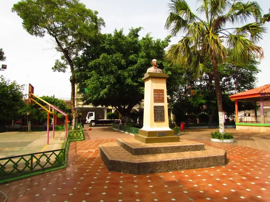
Sights nearby
💡 Tips
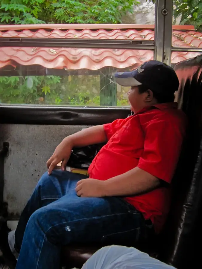
- Use local buses or pickup trucks (pick-ups) for short distances between neighborhoods.
- Carry cash, especially smaller denominations, as cards are rarely accepted in local shops.
- Avoid walking alone at night in unlit rural areas; stick to the main populated zones.
- Tap water is not recommended for drinking; always buy bottled water.
🍽 Food
Find them at local pupuserías around the central square.
Try them at small street stalls during the late afternoon.
A refreshing drink available in local eateries.
🛍 Shopping · 🧘 Quiet spots
The place for fresh produce and basic daily items.
Visit panaderías for traditional sweet bread (pan dulce).
Well-suited for a relaxed evening sitting under the trees.
Best visited with a local guide for a peaceful nature walk in the countryside.
Water temperature…
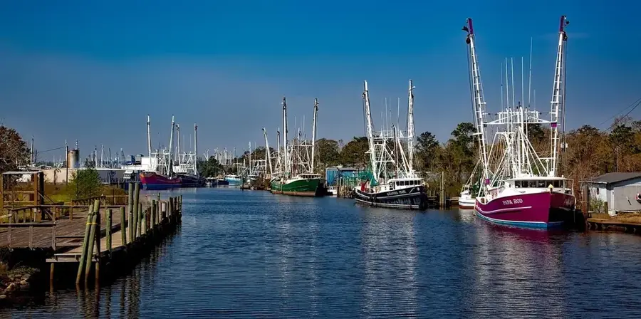
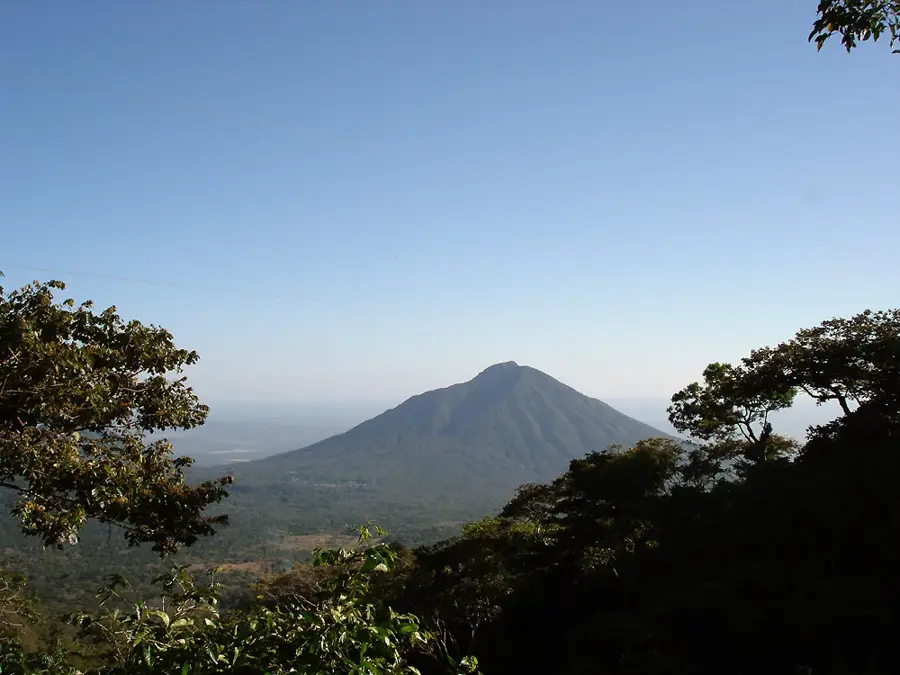
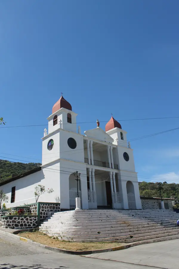
Concepción Batres is a municipality located in the Usulután Department of eastern El Salvador, characterized by its flat coastal plains and agricultural productivity. The town was officially established as a municipality in 1884, carved out of territory that previously belonged to the city of Usulután. It is named in honor of the Immaculate Conception and the Batres family, who were prominent landowners in the region during the 19th century. The local economy relies heavily on large-scale farming, particularly the cultivation of sugar cane, cotton, and basic grains, benefiting from the fertile volcanic soils of the Lempa River basin. Geographically, it is bordered by the Jiquilisco Bay to the south, which influences the local climate and provides opportunities for artisanal fishing. The town celebrates its patron saint festivities in early December, featuring traditional dances and religious processions that reflect the deep-rooted Catholic heritage.
- Location: El Salvador
- Nearby: Santiago de María (9 km)
- Population: ~3.286 (2012)
Best time to visit & climate
The most pleasant time to visit is Jan, Nov, Dec.
| Jan | Feb | Mar | Apr | May | Jun | Jul | Aug | Sep | Oct | Nov | Dec | |
|---|---|---|---|---|---|---|---|---|---|---|---|---|
| Avg °C | 27 | 28 | 29 | 29 | 28 | 27 | 28 | 27 | 26 | 26 | 26 | 26 |
| Rain mm | 3 | 4 | 6 | 32 | 169 | 193 | 155 | 198 | 234 | 204 | 41 | 10 |
Geography
Facts
- Concepción Batres was elevated to the rank of municipality on March 5, 1884.
- The town is located approximately 120 kilometers from the capital, San Salvador.
- The Jiquilisco Bay forms the southern border of the municipality's territory.
- Sugar cane is the most important agricultural product in the region.
- The patron saint festivities are held from December 5th to 8th every year.
- The area is known for its hot and humid coastal temperatures.
Explore nearby
Notable places around
Route planner — Car & Motorhome
Where do you start? We build the route here, with stops and country notes along the way.
© OpenStreetMap contributors · OpenRouteService
Sights in the town Concepción Batres (1)
Frequently asked questions
What should I visit in Concepción Batres?
How many days are enough?
When is the best travel time?
How do I get there?
Is the city suitable for children?
Concepción Batres: where is it located?
Concepción Batres: when is the best time to visit?
Concepción Batres: why is it worth visiting?

Nearby cities
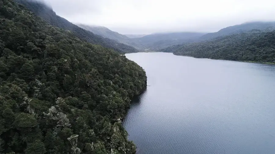
Nature
More places