Plizio Visual Lab
Río Torola
Weather…
Water temperature…
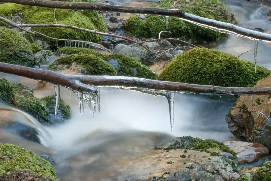
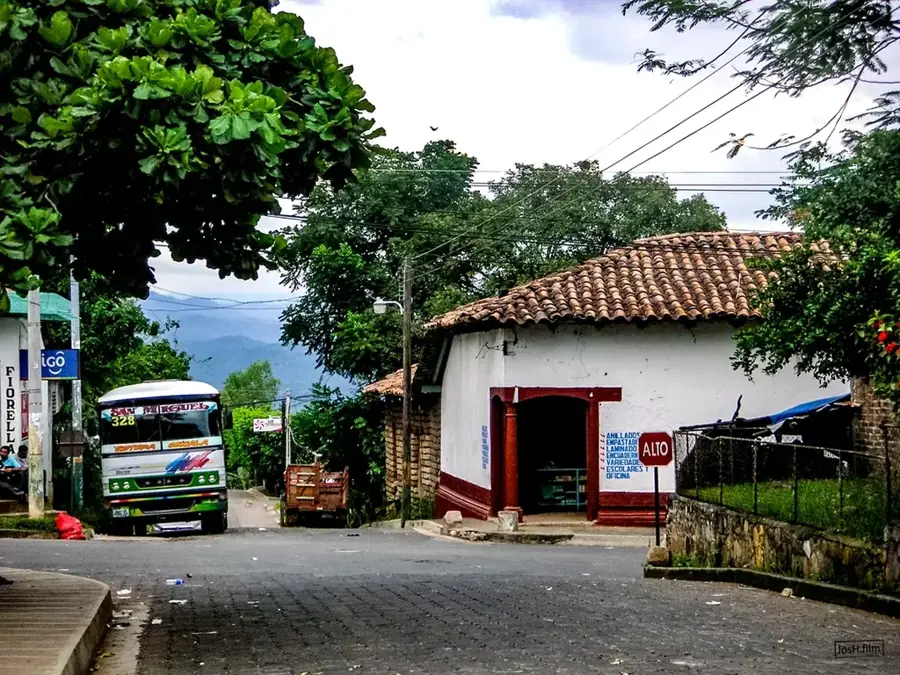
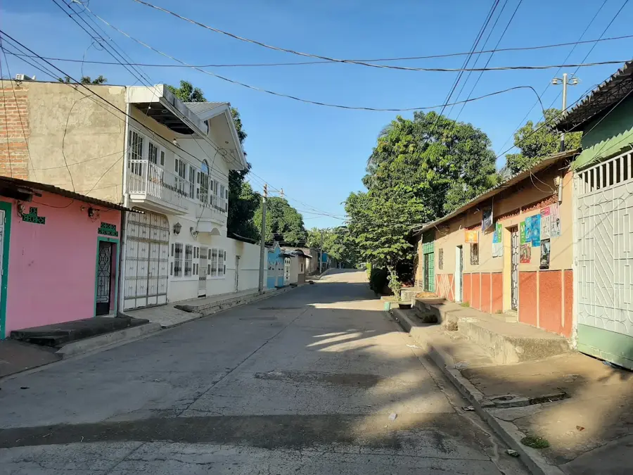
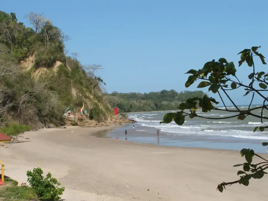
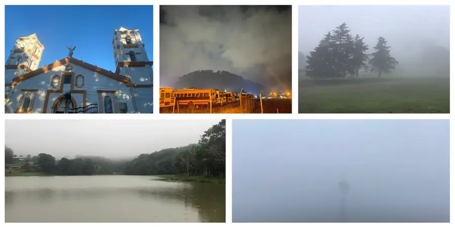
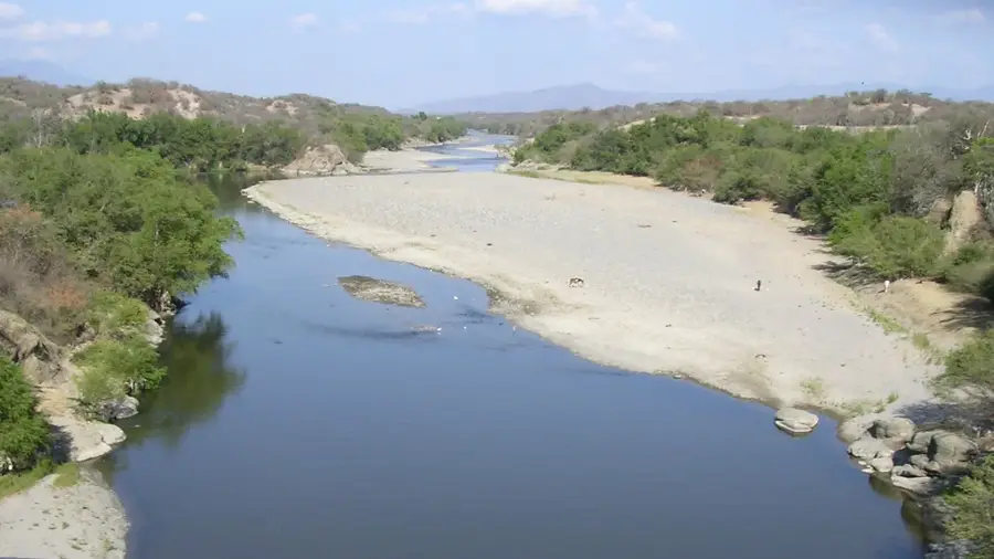
The Torola River is a significant waterway in northeastern El Salvador, primarily flowing through the Morazán Department. The river originates in the highlands of Honduras and forms a natural border between El Salvador and Honduras over long stretches. It is renowned for its deep canyons and the rugged, mountainous landscape through which it carves its path. During the Salvadoran Civil War in the 1980s, the region around the Torola River was a strategically vital area and the site of numerous conflicts. Today, the river holds great ecological importance, serving as a key habitat for local fish species and waterfowl. Its waters are utilized for agriculture and increasingly for hydroelectric power generation, such as the El Chaparral dam project. The riparian zones are characterized by secondary forests that have regrown following reforestation efforts after the conflict. For adventure tourists, the river features opportunities for kayaking and hiking in a historically significant and scenically striking environment.
- Location: El Salvador
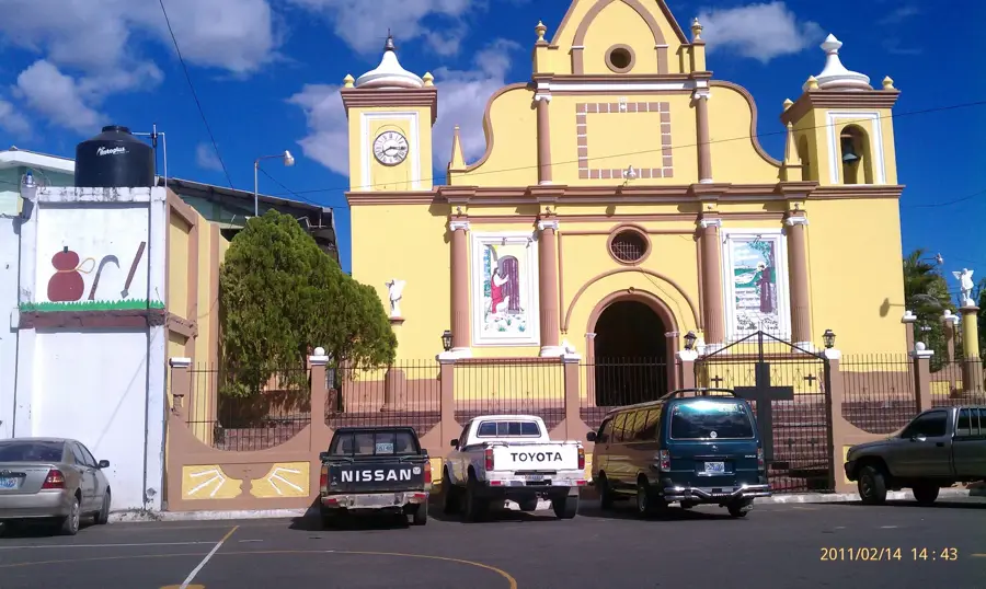
- Nearby: San Miguel (7 km)
Best time to visit & climate
The most pleasant time to visit is Jan, Nov, Dec.
| Jan | Feb | Mar | Apr | May | Jun | Jul | Aug | Sep | Oct | Nov | Dec | |
|---|---|---|---|---|---|---|---|---|---|---|---|---|
| Avg °C | 27 | 28 | 29 | 29 | 28 | 27 | 27 | 27 | 26 | 26 | 26 | 26 |
| Rain mm | 3 | 3 | 6 | 35 | 190 | 199 | 136 | 186 | 246 | 216 | 41 | 10 |
📋 Practical info
Geography
Facts
- The river has a total length exceeding 100 kilometers.
- It eventually flows into the Río Lempa, the country's largest river.
- The historically significant Puente Torola bridge spans the river.
- The El Chaparral hydroelectric project utilizes the river's gradient.
- The river forms the boundary between Morazán and San Miguel departments.
- During the dry season, the river's water level drops significantly.
Explore nearby
Notable places around
Route planner — Car & Motorhome
Where do you start? We build the route here, with stops and country notes along the way.
© OpenStreetMap contributors · OpenRouteService
Sights in the town Río Torola (1)
Sights nearby
Frequently asked questions
Is the river safe?
Can you swim there?
Are there picnic areas?
How is the terrain?
When is the best time?
Río Torola: where is it located?
Río Torola: when is the best time to visit?
Río Torola: why is it worth visiting?

Nearby cities

History & landmarks
Nature
More places