Plizio Visual Lab
Jocoro

ℹ️Practical info — Jocoro
▾
🌤 Weather — 5 days
📍 Nearby
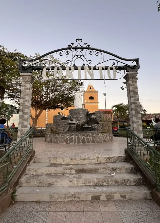
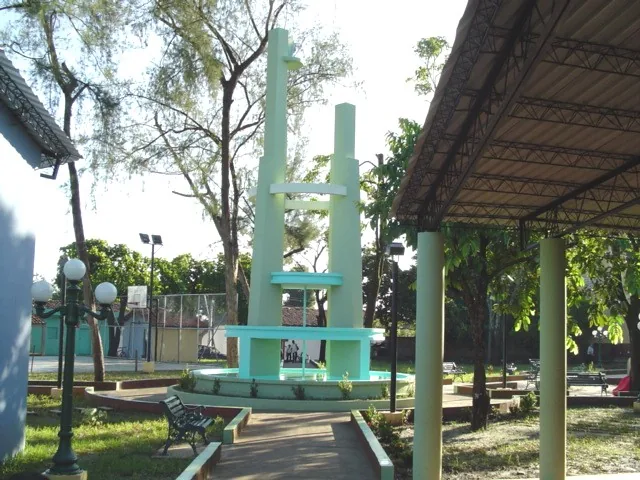
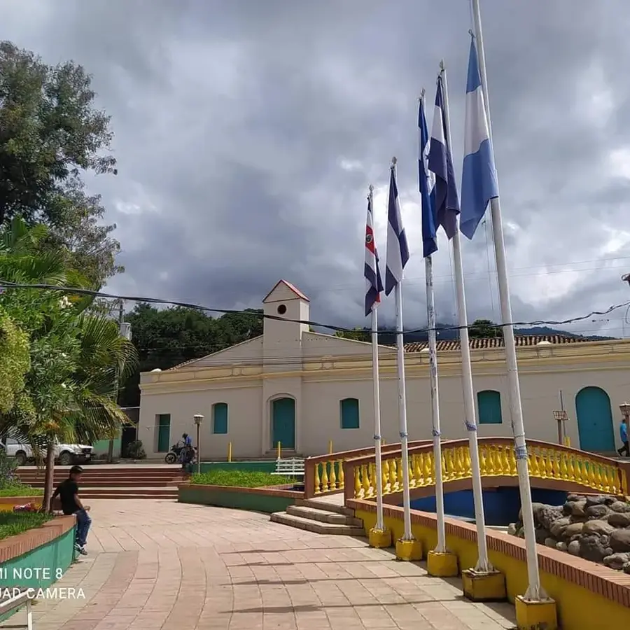
Sights nearby
💡 Tips
- The climate is very hot; plan your most active outings for the early morning.
- The official currency is the US Dollar; carry small bills and coins for everyday purchases.
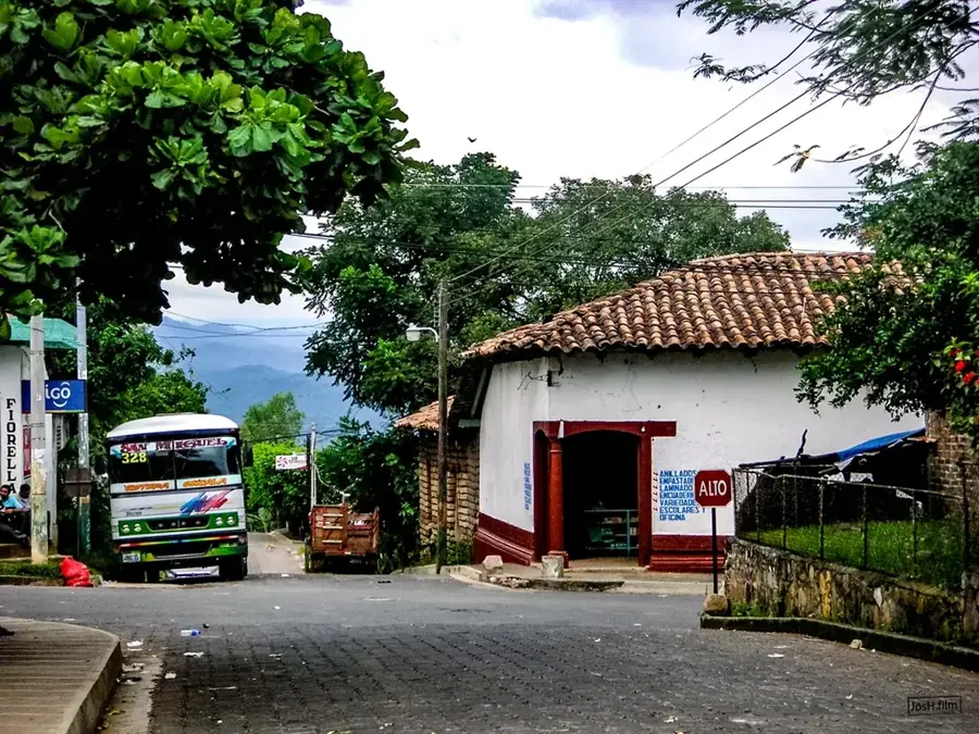
- Local buses (chicken buses) are affordable but can get very crowded.
- Pupusas are the staple food and are usually enjoyed for dinner rather than lunch.
- The town is small and easily walkable, though sidewalks can be uneven.
🍽 Food
Traditional stuffed tortillas from small local pupuserías around the square
Fried cassava often served with curtido cabbage slaw
A refreshing local sweet drink
🛍 Shopping · 🧘 Quiet spots
For fresh fruits, vegetables, and everyday essentials
For simple handcrafted items and local sweets
A calm spot to rest during the afternoon siesta
Quiet paths leading towards the surrounding hills
Water temperature…
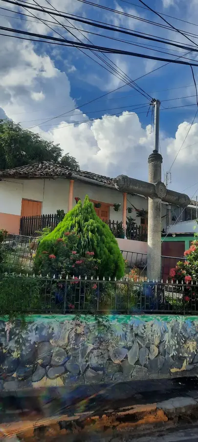
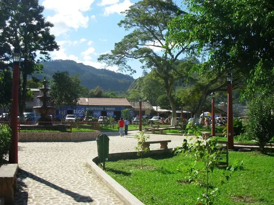
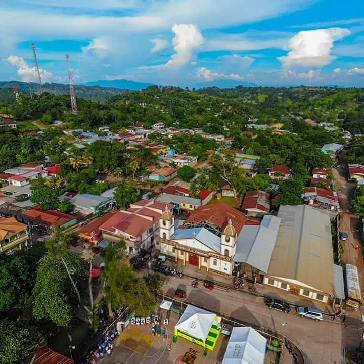
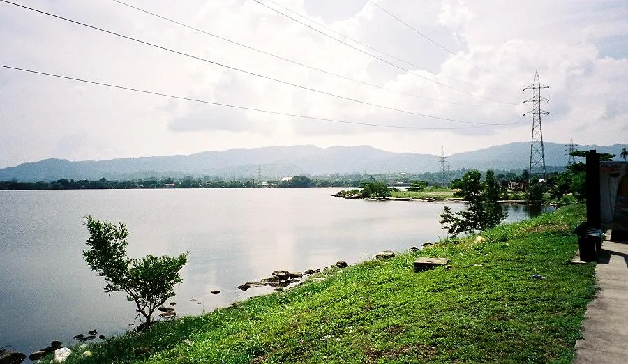
Jocoro is located in the Morazán department of eastern El Salvador and is a town with a deep-rooted agricultural tradition. Geographically, the municipal area extends over a hilly landscape that is handy for growing staple foods such as corn, beans, and sorghum. The town is regionally famous for its animated folk festivals, particularly those held in honor of the Virgin of Candelaria in February, which are deeply anchored in local folklore. Historically, Jocoro was founded during Spanish colonial rule and was once a major center for the production of indigo (añil), a highly valuable dye. In modern times, the town serves as a commercial hub for the surrounding rural communities. The architecture of the town center still partially preserves its colonial charm, featuring low-rise buildings and a traditional central plaza.
- Location: El Salvador
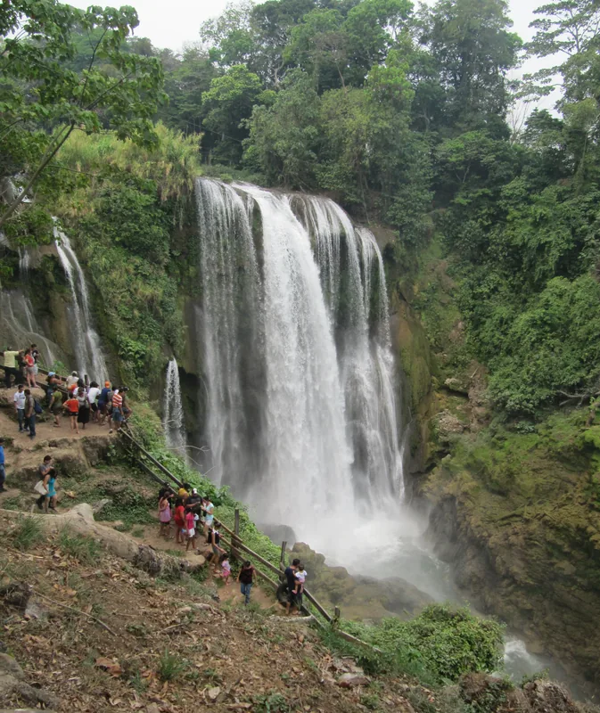
- Top sights: MINAS DE ORO SAN CARLOS MORAZAN · CUEVAS DE MINAS DE ORO
- Nearby: Chilanga (6 km)
- Population: ~4.298 (2012)
Best time to visit & climate
The most pleasant time to visit is Jan, Nov, Dec.
| Jan | Feb | Mar | Apr | May | Jun | Jul | Aug | Sep | Oct | Nov | Dec | |
|---|---|---|---|---|---|---|---|---|---|---|---|---|
| Avg °C | 27 | 28 | 29 | 29 | 28 | 27 | 27 | 27 | 26 | 26 | 26 | 26 |
| Rain mm | 3 | 3 | 6 | 35 | 190 | 199 | 136 | 186 | 246 | 216 | 41 | 10 |
Geography
Facts
- Granted the title of city in the year 1871
- Significant producer of indigo during the colonial era
- The patronal festival is celebrated annually on February 2
- The name originates from the Lenca language meaning 'fire mountain'
- Located along the Ruta Militar highway heading east
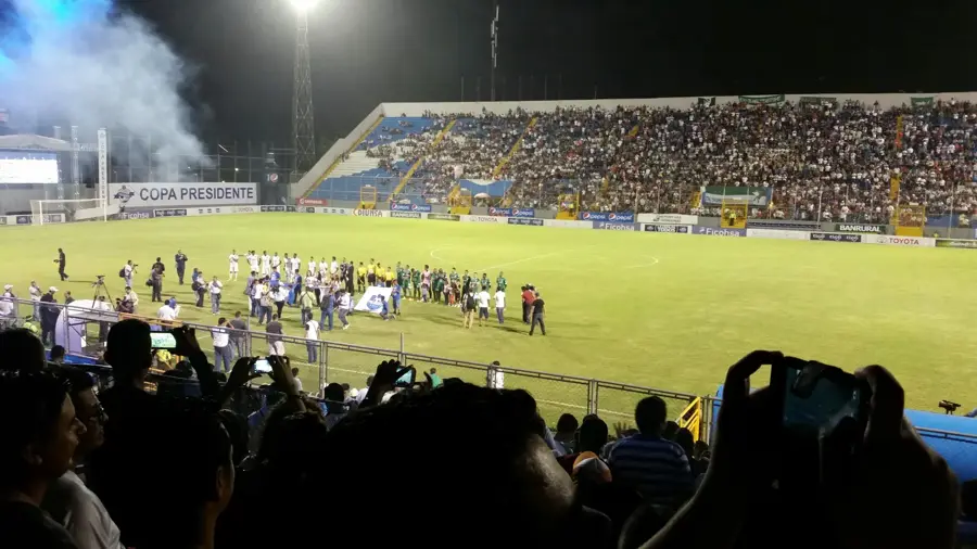
- Home to the first-division football club Jocoro FC
Explore nearby
Notable places around
Route planner — Car & Motorhome
Where do you start? We build the route here, with stops and country notes along the way.
© OpenStreetMap contributors · OpenRouteService
Sights in the town Jocoro (2)
Frequently asked questions
What is the best time of year to visit Jocoro?
How much time should I spend in Jocoro?
Is Jocoro easily accessible by public transport?
What culinary specialties are there here?
Is the area around Jocoro safe for tourists?
Jocoro: where is it located?
Jocoro: what is there to see?
Jocoro: when is the best time to visit?
Jocoro: why is it worth visiting?

Nearby cities
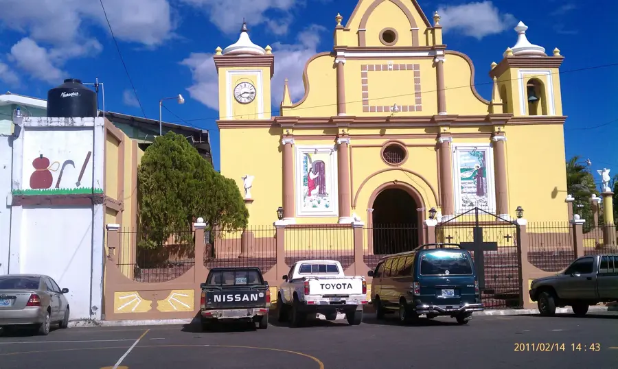

History & landmarks

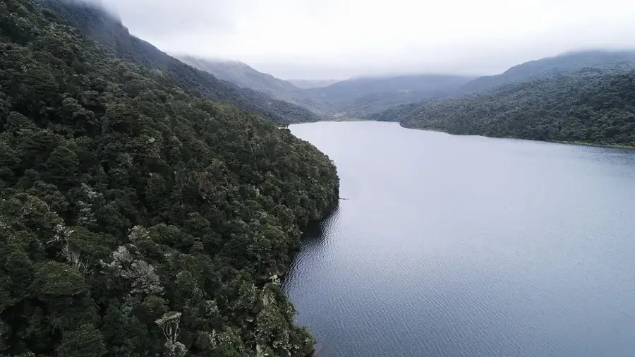
Nature
More places