Plizio Visual Lab
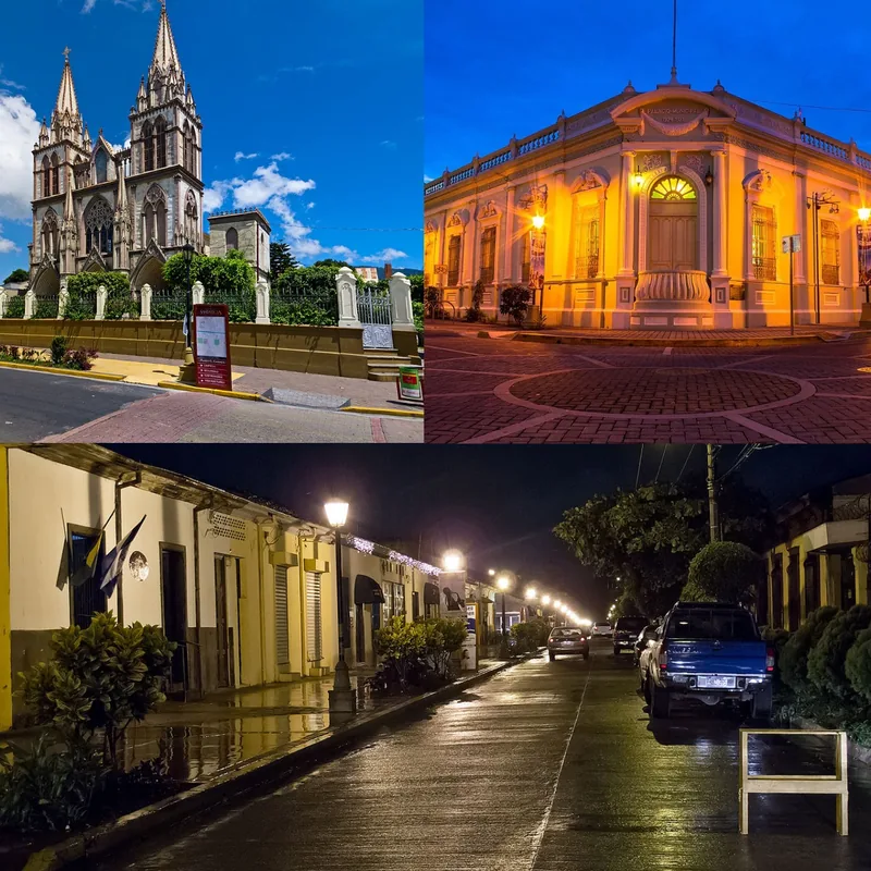
Quezaltepeque
ℹ️Practical info — Quezaltepeque
▾
🌤 Weather — 5 days
📍 Nearby
Sights nearby
💡 Tips
- Visit 'El Playón' lava fields early in the morning to avoid the intense heat radiating from the black volcanic rocks.
- In Quezaltepeque, pupusas are traditionally served with chimol (tomato salsa) instead of just curtido, try this unique local twist!
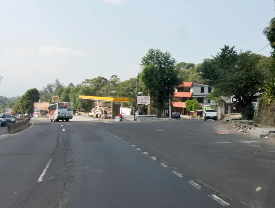
- Ride the colorful mototaxis to navigate the narrow streets; they are the most authentic and efficient way to get around.
- Bring plenty of drinking water when exploring the volcanic landscape, as there is very little shade available.
- Visit the Railway Museum for a fascinating look into the city's historical importance as a transit hub.
🍽 Food
Look for pupuserías like 'Alfarero' that cook their pupusas on traditional clay griddles for better flavor.
A refreshing drink made with lemon and tiny chia-like seeds, great for beating the local heat.
Sweet corn cakes often sold at the market wrapped in banana leaves and served warm.
🛍 Shopping · 🧘 Quiet spots
Buy fresh 'Queso con Loroco' here, a local cheese flavored with edible flower buds.
A specific area in the central market known for affordable clothing and regional fabrics.
Look for shops around the main plaza selling traditional handmade milk and fruit sweets.
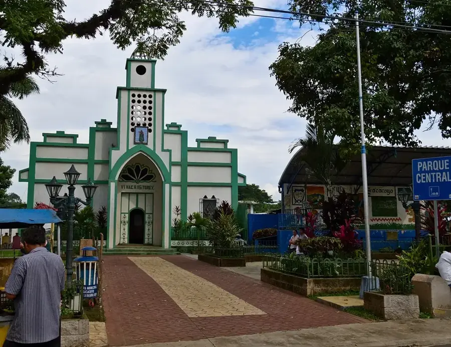
Sit under the shady trees of the main park to watch the local pace of life and mototaxis.
The church by the main plaza has a cool and very quiet sanctuary during the midday heat.
A spot slightly outside the city that is very peaceful, especially on weekdays.
Water temperature…
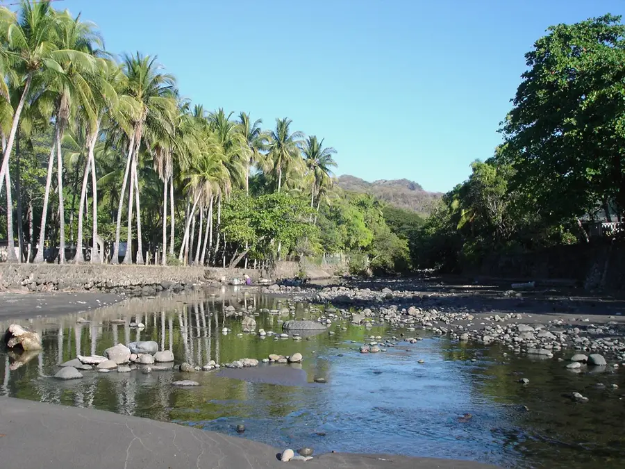
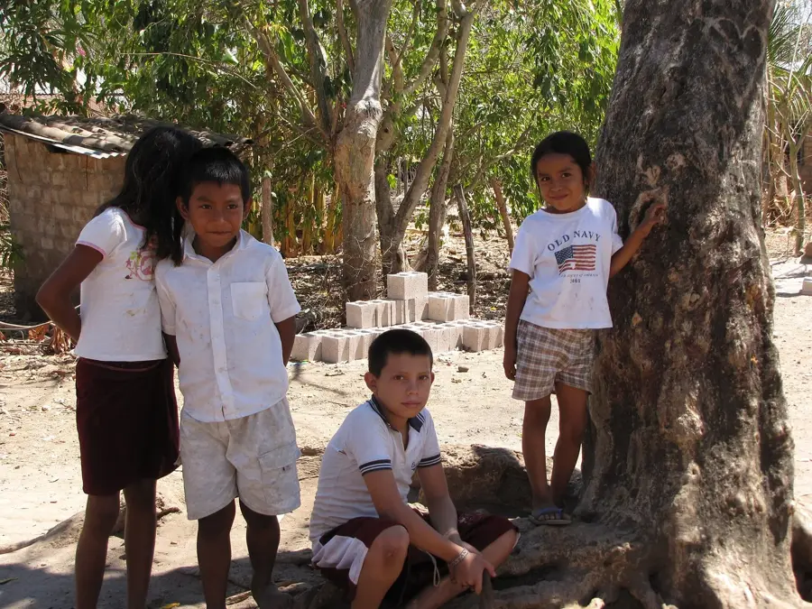
Quezaltepeque is located in the department of La Libertad and is renowned for its geographical position at the foot of the majestic San Salvador volcano. Founded in the 16th century, the city has a rich history closely linked to agriculture and the region's volcanic activity. A prominent feature of the area is the 'El Playón' lava plateau, created by the 1917 eruption, which now forms a unique ecological zone. Quezaltepeque is famous for its 'La Toma' springs, natural thermal baths that attract both locals and tourists. Economically, the city plays a vital role in the food industry and trade, benefited by its proximity to the capital. The local culture is reflected in traditional crafts and lively festivals deeply rooted in Salvadoran identity. The temperate to warm climate and fertile soils make the region a convenient location for fruit and vegetable cultivation.
- Location: El Salvador
- Nearby: Nueva Concepción (4 km)
- Population: ~28.886 (2024)
Geography
Facts
- The name is of Pipil origin, meaning 'Mount of the Quetzal'.
- Attained city (Ciudad) status on March 10, 1905.
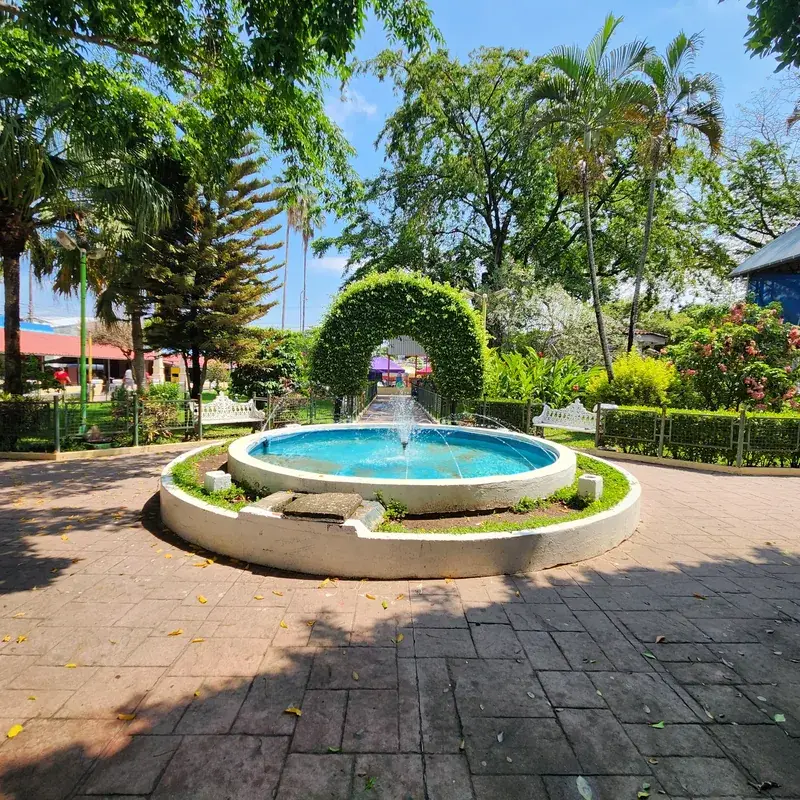
- Home to the 'La Toma' recreation center featuring natural springs.
- Located at an altitude of 425 meters above sea level.
- Major industrial site for cement and brick production.
- Celebrates its patronal feast in honor of Saint Joseph in December.
Explore nearby
Notable places around
Route planner — Car & Motorhome
Where do you start? We build the route here, with stops and country notes along the way.
© OpenStreetMap contributors · OpenRouteService
Sights in the town Quezaltepeque (1)
Frequently asked questions
What is the best time to visit Quezaltepeque?
How can I get to Quezaltepeque?
How many days are enough for a visit?
Are there family-friendly activities there?
What local specialties should I try?
Quezaltepeque: where is it located?
Quezaltepeque: why is it worth visiting?

Nearby cities

History & landmarks
More places