Plizio Visual Lab
El Coyolito
ℹ️Practical info — El Coyolito
▾
🌤 Weather — 5 days
📍 Nearby
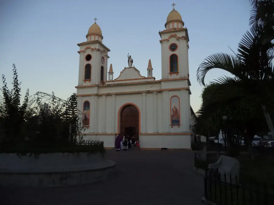
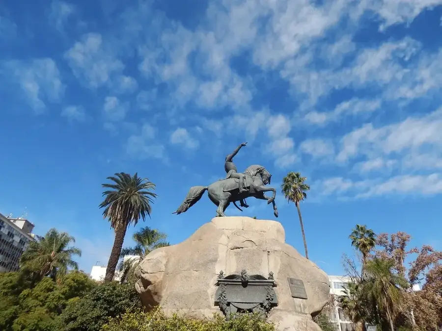
Sights nearby
💡 Tips
- Since El Coyolito is a small canton, it is recommended to do major shopping and banking in nearby Suchitoto.
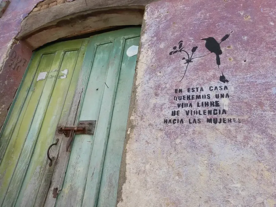
- Enjoy the authentic, rural atmosphere; a polite and respectful attitude towards locals opens many doors.
- The dirt roads can be muddy after rains; definitely bring closed shoes for rural walks.
- The best time to visit is early morning when rural life awakens and temperatures are still pleasantly cool.
🍽 Food
They are often prepared directly in homes; follow the smell of freshly baked corn.
A soft, fresh farmhouse cheese from the region that pairs ideally with hot tortillas.
Ask for a real, hand-brewed cup of coffee in the small shops of the village.
🛍 Shopping · 🧘 Quiet spots
Buy fresh fruit or vegetables directly and easily from the producers in the village.
Occasionally, local families offer hand-woven baskets or textiles.
Handy for a quiet walk where you can enjoy untouched nature away from the hustle and bustle.
Find a gentle hill with a wide view of the lush vegetation of the surroundings.
Water temperature…
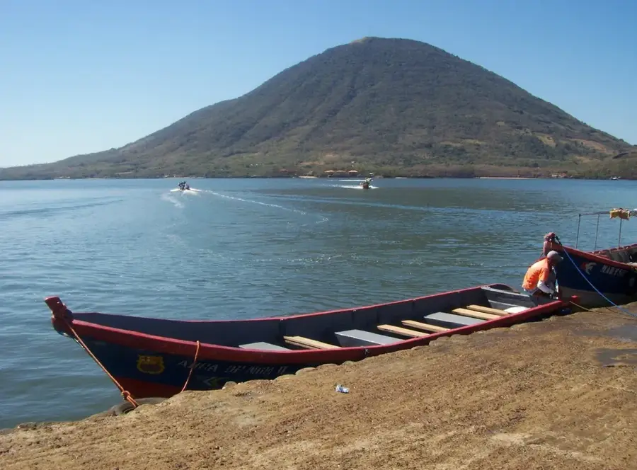
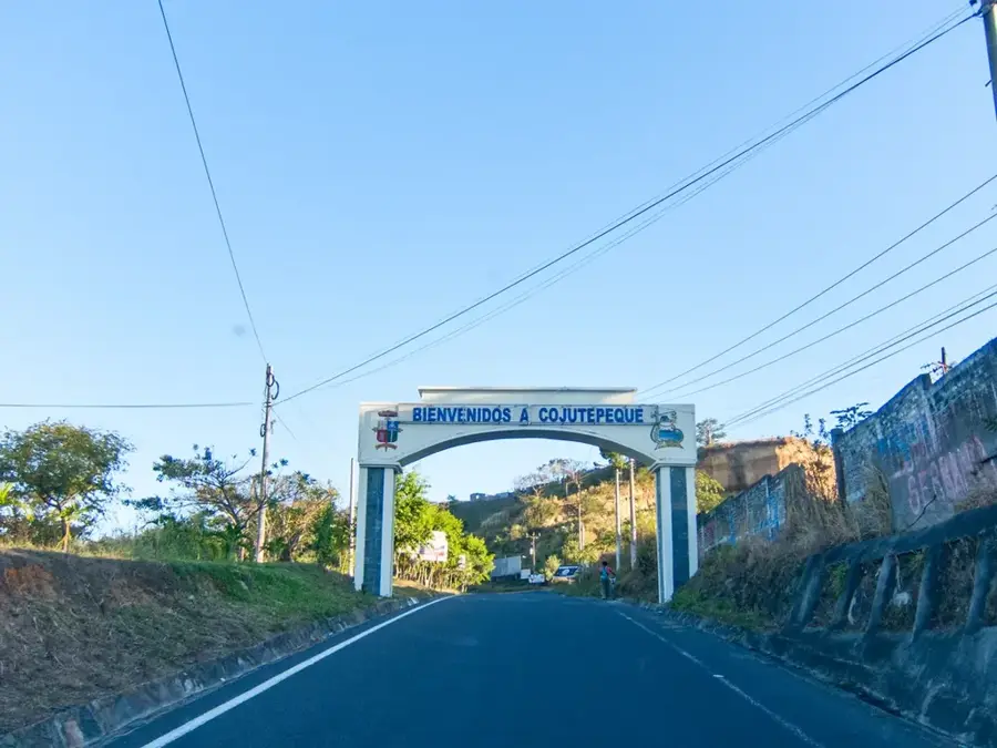
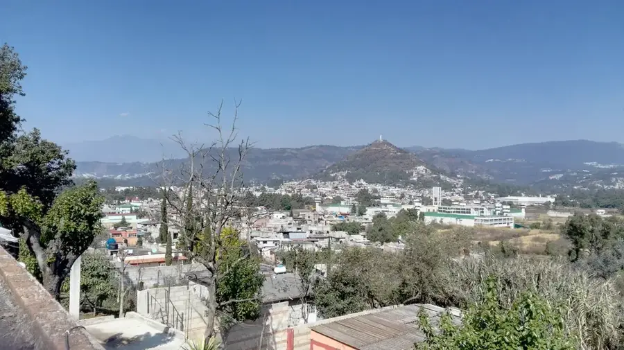
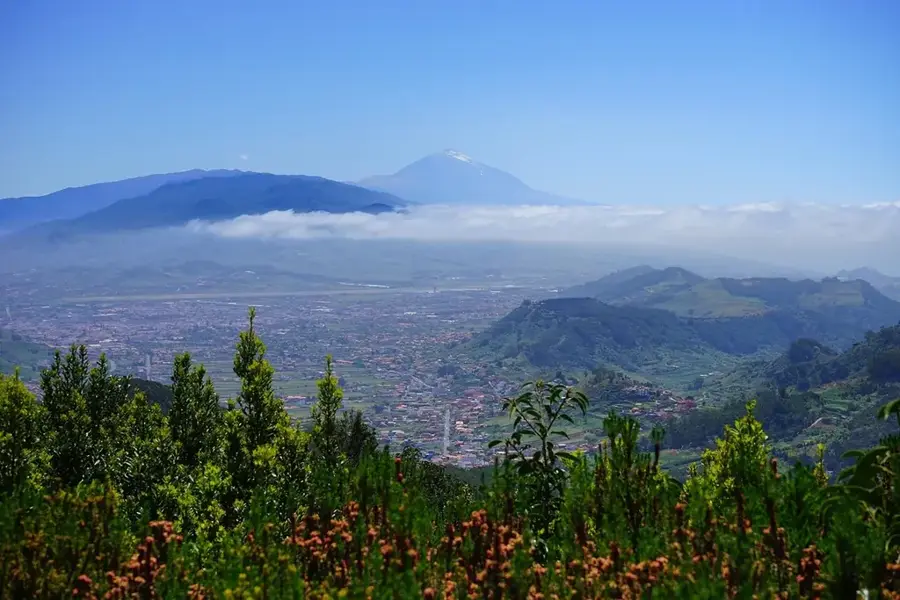
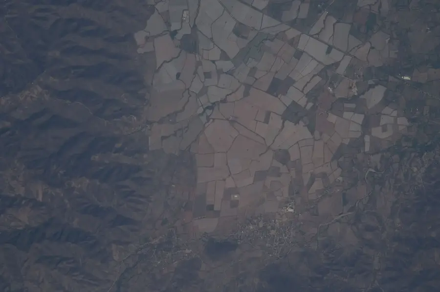
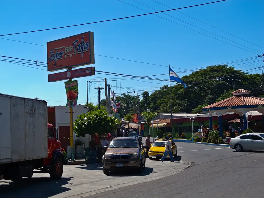
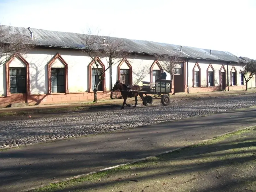
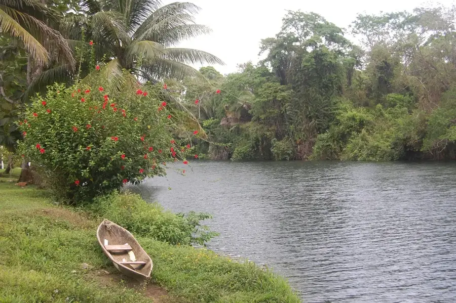
El Coyolito is an important transportation hub and rural settlement in the Chalatenango Department, strategically located along the Northern Trunk Road (Carretera Troncal del Norte). The locality serves as a vital gateway to El Salvador's northern regions and the Honduran border, making it a center for commerce and transport. Geographically, El Coyolito is situated near the Cerrón Grande Reservoir, also known as Lake Suchitlán, which significantly influences the local environment and climate. The economy is a blend of services for travelers, such as restaurants and repair shops, alongside traditional agriculture and fishing in the nearby reservoir. During the civil war in the 1980s, the region was the site of significant events due to its strategic location, which shaped local history. Today, the place is known for its lively atmosphere along the main road and the production of coyol palm fruits, from which its name is derived. Hikers and travelers often use El Coyolito as a starting point for excursions into the higher mountains of Chalatenango or to the shores of Lake Suchitlán.
- Location: El Salvador
- Nearby: El Rosario (6 km)
- Population: ~5.735 (2012)
Best time to visit & climate
The most pleasant time to visit is Jan, Nov, Dec.
| Jan | Feb | Mar | Apr | May | Jun | Jul | Aug | Sep | Oct | Nov | Dec | |
|---|---|---|---|---|---|---|---|---|---|---|---|---|
| Avg °C | 23 | 25 | 26 | 27 | 26 | 24 | 25 | 24 | 24 | 23 | 22 | 23 |
| Rain mm | 9 | 8 | 9 | 32 | 152 | 186 | 151 | 189 | 218 | 174 | 43 | 18 |
Geography
Facts
- Major stopover point on the Carretera Troncal del Norte highway.
- Located in the Chalatenango Department near the Cerrón Grande Reservoir.
- The name is derived from the Coyol palm tree.
- Center for local fish commerce from Lake Suchitlán.
- Served as a strategic point during the Salvadoran Civil War.
- Provides access to various hiking trails in the north of the country.
Explore nearby
Notable places around
Route planner — Car & Motorhome
Where do you start? We build the route here, with stops and country notes along the way.
© OpenStreetMap contributors · OpenRouteService
Sights in the town El Coyolito (1)
Frequently asked questions
What is special about El Coyolito?
How much time should I plan for a visit?
What kind of clothing is recommended for El Coyolito?
Are there shopping facilities on-site?
Is El Coyolito easily accessible by car?
El Coyolito: where is it located?
El Coyolito: when is the best time to visit?
El Coyolito: why is it worth visiting?

Nearby cities

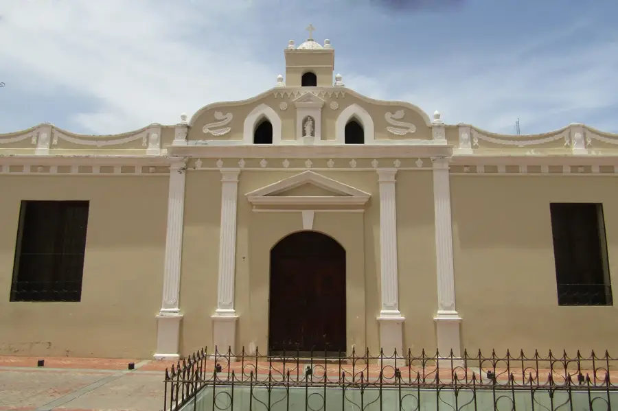


History & landmarks

Nature
More places