Plizio Visual Lab
Cordillera Central
Weather…
Water temperature…
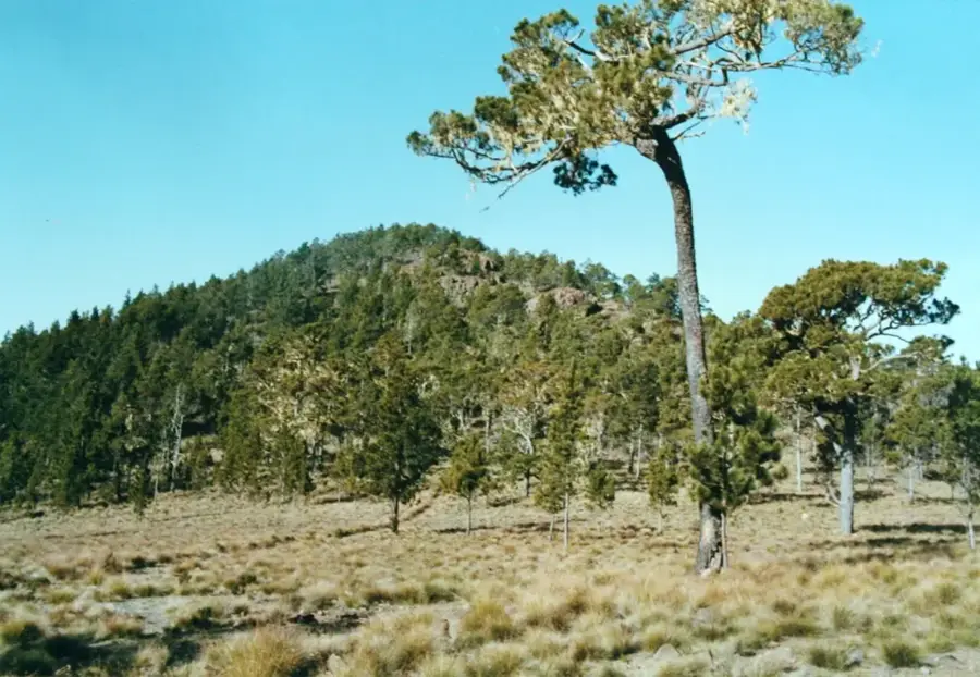
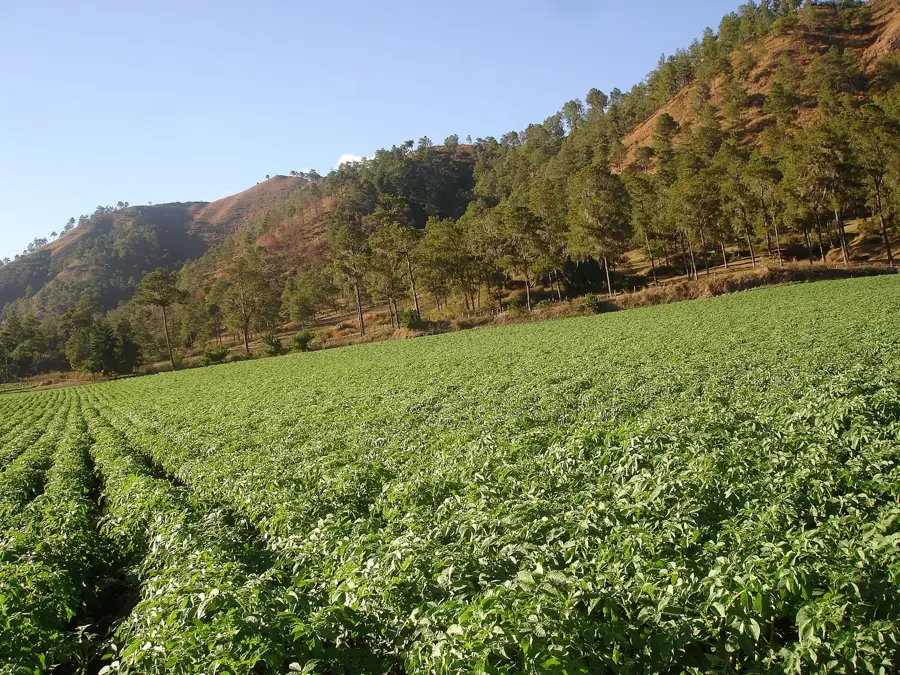
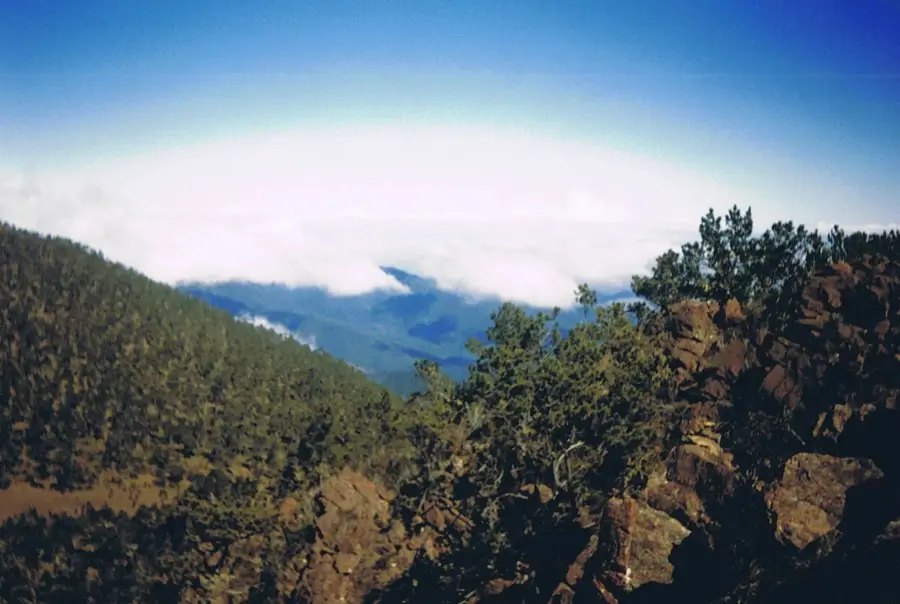
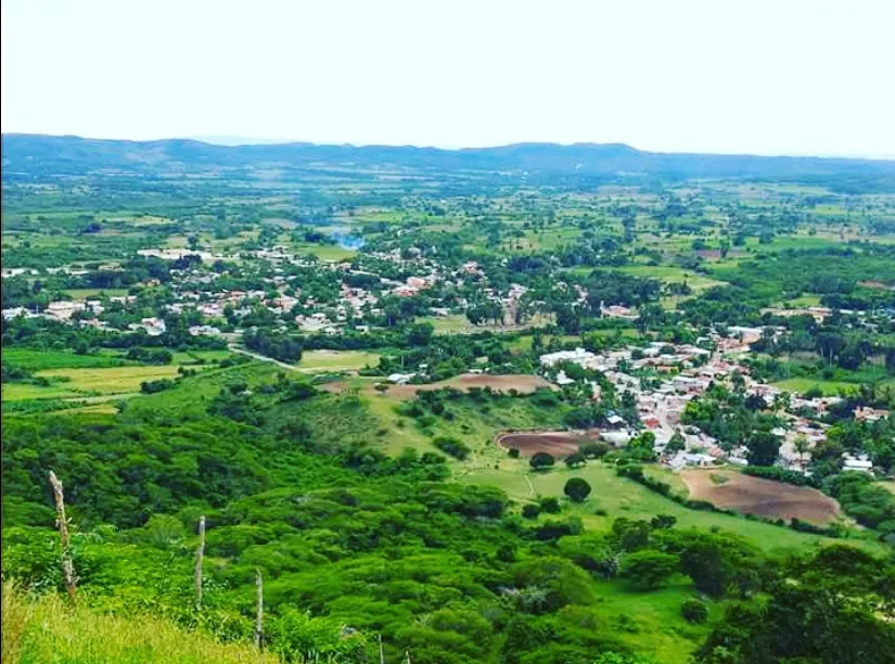
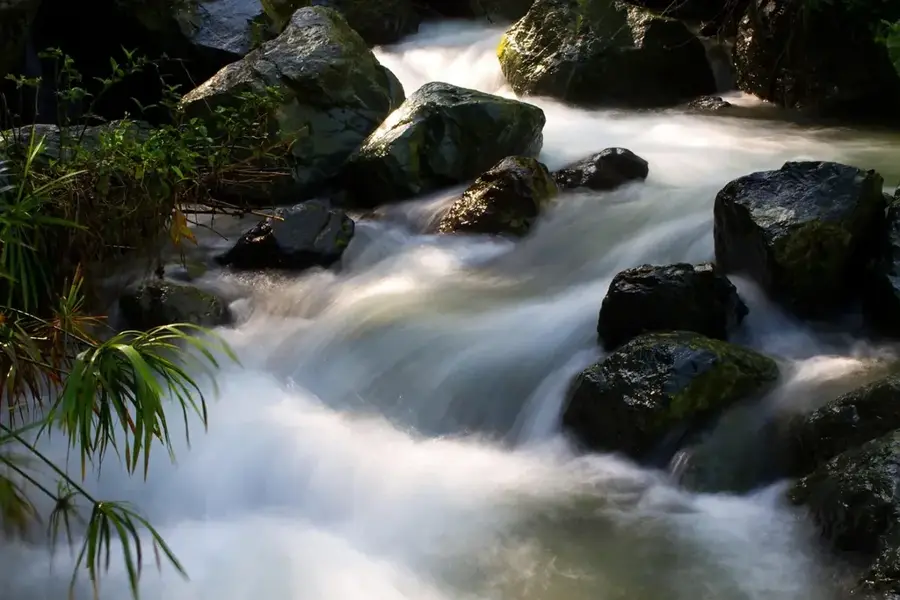
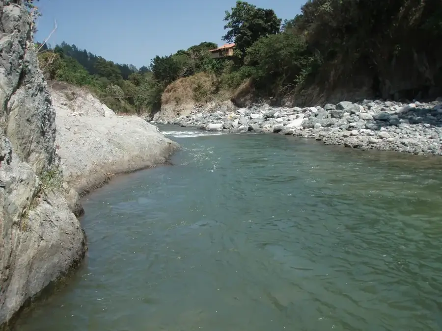
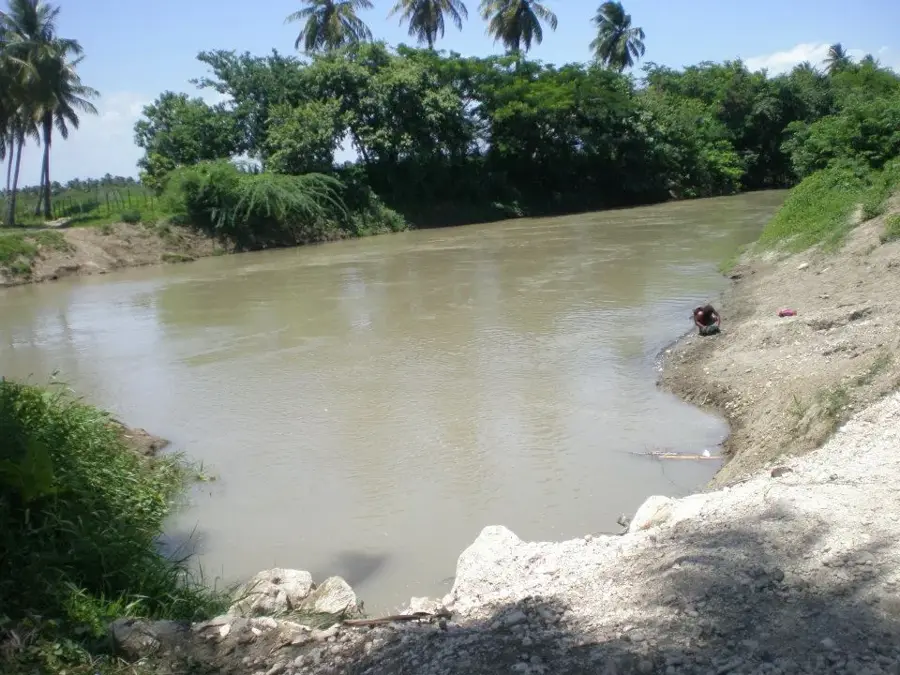
The Cordillera Central is the most significant mountain system on the island of Hispaniola, stretching across the heart of the Dominican Republic. It is home to Pico Duarte, which at 3,087 meters is the highest peak in the entire Caribbean. This massif serves as the hydrological backbone of the country, as it is the source of the most important rivers, including the Yaque del Norte, Yaque del Sur, and Yuna. Geologically, it is composed mainly of volcanic rocks and metamorphic formations dating back to the Cretaceous period. The region encompasses several national parks, such as Armando Bermúdez and José del Carmen Ramírez, which protect extensive stands of the endemic Hispaniolan pine. The climate in the higher elevations is temperate to alpine, with temperatures capable of dropping below freezing during winter. Historically, the Cordillera was an obstacle to east-west communication, but today it plays a central role in water management and ecotourism.
- Location: Dominican Republic
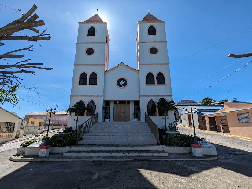
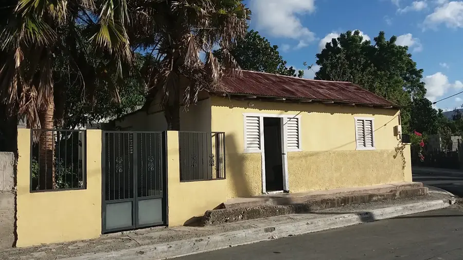
- Nearby: Jánico (12 km)
Best time to visit & climate
The most pleasant time to visit is Jan–Mar.
| Jan | Feb | Mar | Apr | May | Jun | Jul | Aug | Sep | Oct | Nov | Dec | |
|---|---|---|---|---|---|---|---|---|---|---|---|---|
| Avg °C | 20 | 21 | 22 | 23 | 23 | 24 | 25 | 25 | 24 | 23 | 22 | 21 |
| Rain mm | 27 | 20 | 28 | 38 | 56 | 35 | 36 | 52 | 44 | 56 | 63 | 37 |
📋 Practical info
Geography
Facts
- Home to Pico Duarte, the highest peak in the Caribbean (3,087 m)
- Source of the three largest river systems in the Dominican Republic
- Encompasses the Armando Bermúdez and José del Carmen Ramírez parks
- Geological formations consist mainly of Cretaceous volcanic rocks
- Primary habitat for the endemic Hispaniolan pine (Pinus occidentalis)
- The only region in the Caribbean where freezing temperatures occur regularly
Explore nearby
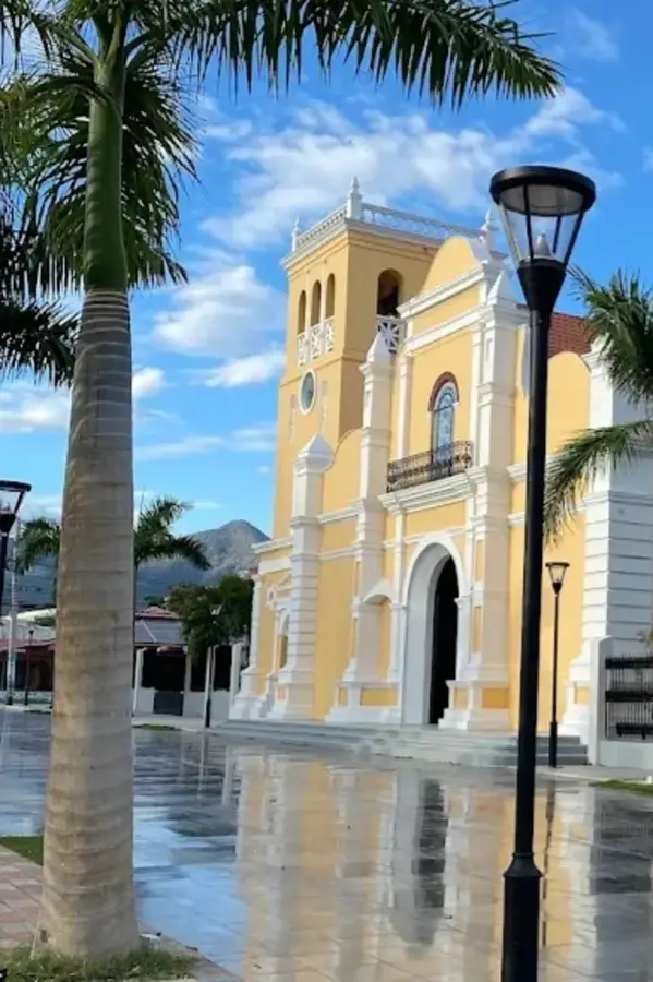
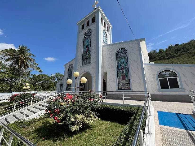
Notable places around
Route planner — Car & Motorhome
Where do you start? We build the route here, with stops and country notes along the way.
© OpenStreetMap contributors · OpenRouteService
Sights nearby
Frequently asked questions
What is the Cordillera Central?
What activities can be done there?
How is the region often called?
What are the main cities?
How is the weather there?
Cordillera Central: where is it located?
Cordillera Central: when is the best time to visit?
Cordillera Central: why is it worth visiting?

Nearby cities

History & landmarks
Nature
More places