Plizio Visual Lab
Pedro Santana

ℹ️Practical info — Pedro Santana
▾
🌤 Weather — 5 days
📍 Nearby
Sights nearby
💡 Tips
- This is an off-the-beaten-path border municipality on the Artibonite River; tourist infrastructure is virtually non-existent, so bring all essentials.
- A strong military presence is normal due to the nearby Haitian border; always have your identification documents ready and cooperate with checkpoints.
- Mobile network coverage can be spotty or switch to Haitian networks; manually select your Dominican carrier to avoid roaming charges.
- The town is deeply rooted in agriculture; hiring a local motoconcho is the best way to explore the surrounding dirt roads and farms.
🍽 Food
The traditional daily meal of rice, beans, and stewed meat is the most reliable and hearty option at any local comedor.
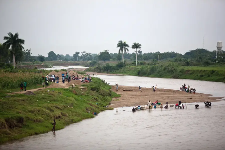
If available, try fish caught directly from the Artibonito river, typically served fried with plantains.
Enjoy a small cup of strong, sweet local coffee prepared in a traditional cloth strainer at any colmado.
🛍 Shopping · 🧘 Quiet spots
The small local market provides seasonal fruits, root vegetables, and staples traded from both sides of the border.
Stock up on snacks, water, and basic goods at the town's colmados, as there are no large supermarkets.
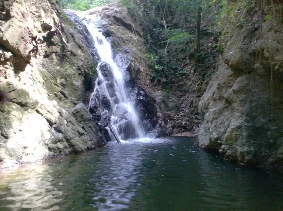
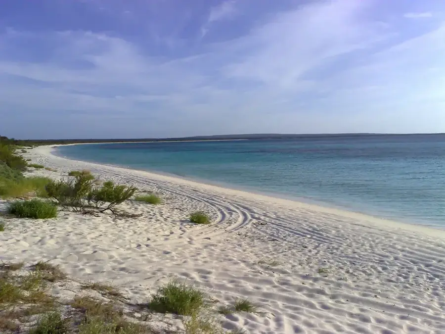
Find a safe, accessible spot along the riverbank to enjoy the rugged scenery and the sound of the flowing water.
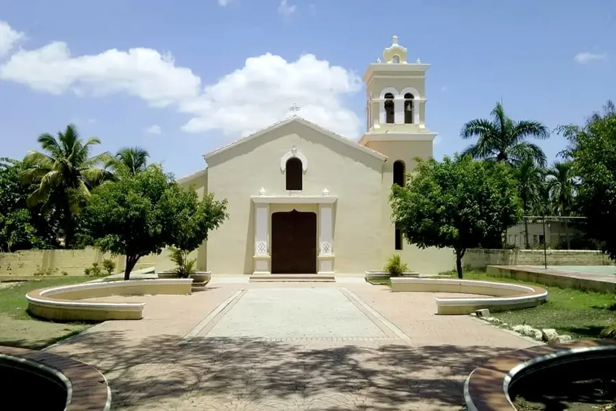
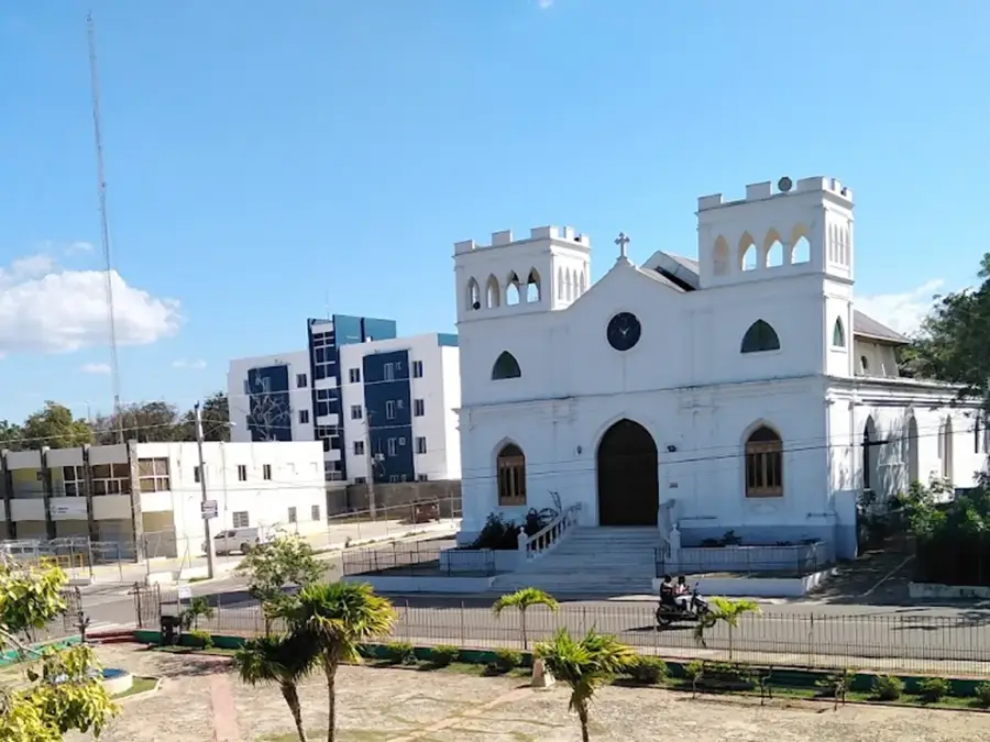
The area around the local church is peaceful and shaded, offering a quiet spot to rest during the hot afternoons.
Water temperature…
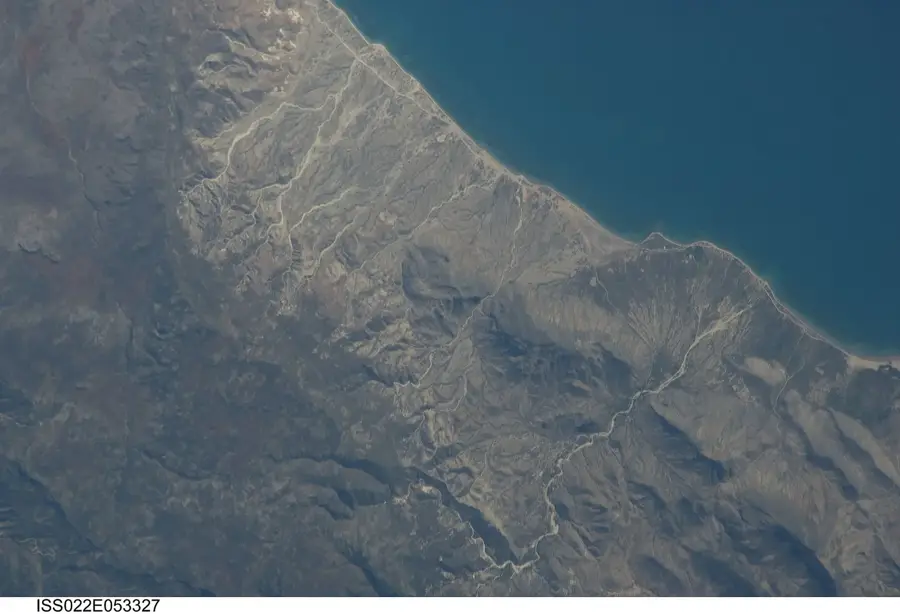
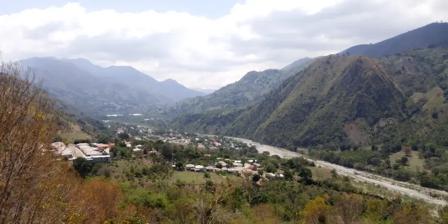
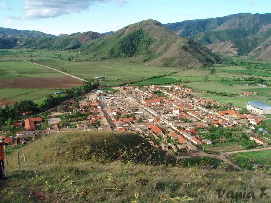
Pedro Santana is a border municipality in the Elías Piña province, named after the first president of the Dominican Republic. The town is situated on the banks of the Artibonite River, which serves as a natural border with Haiti. Due to its strategic border location, the town has a long military and political history. The economy is heavily characterized by agriculture, particularly the cultivation of grains and livestock farming. Residents maintain a close relationship with the neighboring country, which is reflected in the local culture and daily trade activities. The surrounding landscape is defined by the foothills of the mountain ranges that encompass the region. Despite the challenges of being a border town, Pedro Santana possesses a strong sense of community and holds significant historical importance for the nation's sovereignty, having often served as a line of defense in the past.
- Location: Dominican Republic
- Nearby: Bánica (9 km)
- Population: ~1.170 (2016)
Best time to visit & climate
The most pleasant time to visit is Jan–Mar.
| Jan | Feb | Mar | Apr | May | Jun | Jul | Aug | Sep | Oct | Nov | Dec | |
|---|---|---|---|---|---|---|---|---|---|---|---|---|
| Avg °C | 20 | 21 | 22 | 23 | 23 | 24 | 25 | 25 | 24 | 23 | 22 | 21 |
| Rain mm | 27 | 20 | 28 | 38 | 56 | 35 | 36 | 52 | 44 | 56 | 63 | 37 |
Geography
Facts
- The town was named in honor of General Pedro Santana, who governed in the 19th century.
- The Artibonite River flowing here is the longest river on the island of Hispaniola.
- Pedro Santana was established as an independent municipality in 1952.
- The region has limestone deposits that are occasionally mined locally.
- The cross-border market is held regularly and ensures the supply of the region.
- The town is situated about 300 meters above sea level in a hilly landscape.
Explore nearby
Notable places around
Route planner — Car & Motorhome
Where do you start? We build the route here, with stops and country notes along the way.
© OpenStreetMap contributors · OpenRouteService
Frequently asked questions
What is the main attraction of Pedro Santana?
How is the public transport connection?
Can you swim in the Artibonito River?
What is the livelihood of people in Pedro Santana?
Are there tourist services in the town?
Pedro Santana: where is it located?
Pedro Santana: when is the best time to visit?
Pedro Santana: why is it worth visiting?

Nearby cities


History & landmarks
More places