Plizio Visual Lab
La Pelona Peak

Weather…
Water temperature…
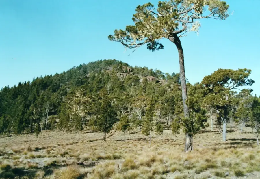
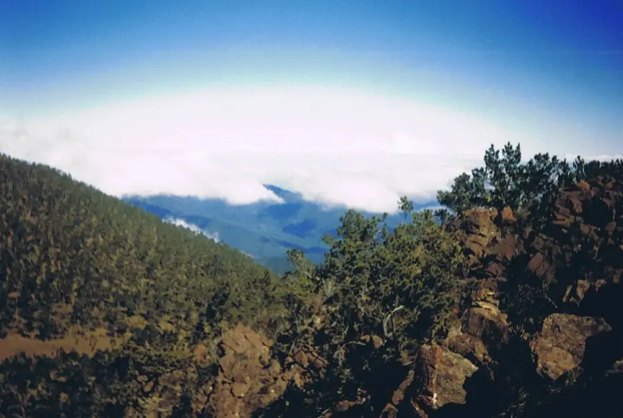
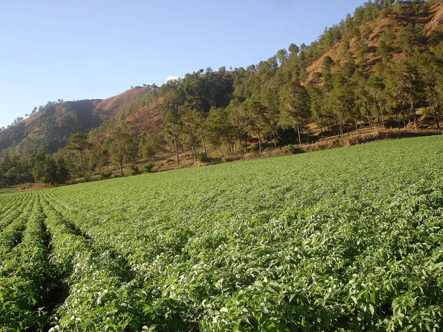
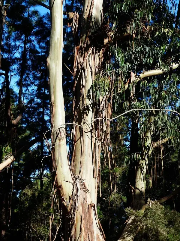
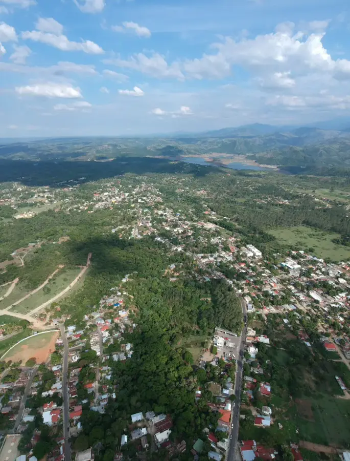
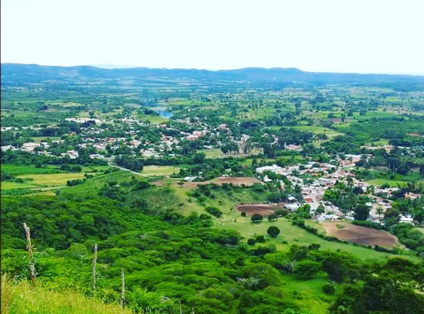
Pico La Pelona stands at an elevation of 3,087 meters, making it the second-highest peak in the Dominican Republic and the entire Antilles. It is located within the Cordillera Central mountain range inside the Armando Bermúdez National Park. Geographically, it forms a twin-peak formation with the slightly taller Pico Duarte, from which it is separated by a high-altitude plateau known as Valle de Lilís. The region is characterized by an alpine climate, with temperatures frequently dropping below freezing during the winter nights. The vegetation is dominated by Hispaniolan pine forests (Pinus occidentalis) and mosses, all adapted to the thin air and cool conditions of the highlands. Climbing La Pelona is a challenging multi-day trek that leads through pristine mountain landscapes and cloud forests. Historically, the peak's exact altitude was determined later than its neighbor, and it now serves as a symbol of the unexpected alpine beauty found in the Caribbean.
- Location: Dominican Republic
- Nearby: Jánico (18 km)
Best time to visit & climate
The most pleasant time to visit is Jan–Mar.
| Jan | Feb | Mar | Apr | May | Jun | Jul | Aug | Sep | Oct | Nov | Dec | |
|---|---|---|---|---|---|---|---|---|---|---|---|---|
| Avg °C | 20 | 21 | 22 | 23 | 23 | 24 | 25 | 25 | 24 | 23 | 22 | 21 |
| Rain mm | 27 | 20 | 28 | 38 | 56 | 35 | 36 | 52 | 44 | 56 | 63 | 37 |
📋 Practical info
Geography
Facts
- The official altitude of Pico La Pelona is 3,087 meters above sea level.
- It is located within the Armando Bermúdez National Park, established in 1956.
- The name 'La Pelona' refers to the bald or barren appearance of the summit.
- Temperatures can drop as low as -8 degrees Celsius in January.
- The Valle de Lilís plateau sits at an elevation of approximately 2,950 meters.
- The region serves as the primary watershed for the Yaque del Norte and Yaque del Sur rivers.
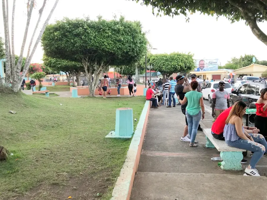
Explore nearby
Notable places around
Route planner — Car & Motorhome
Where do you start? We build the route here, with stops and country notes along the way.
© OpenStreetMap contributors · OpenRouteService
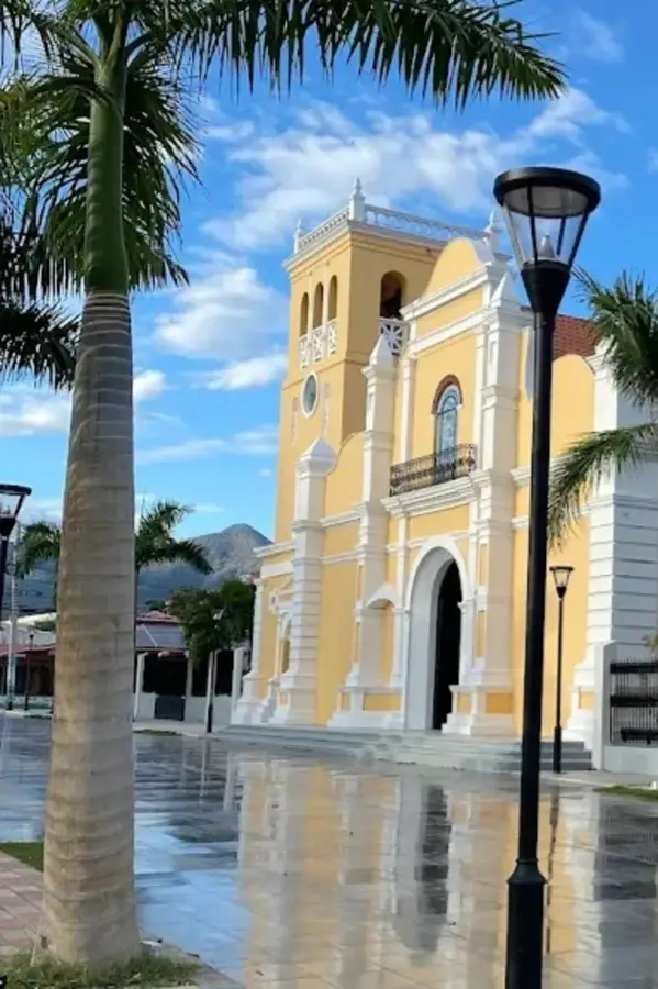
Sights in the town La Pelona Peak (1)
Sights nearby
Frequently asked questions
How high is Pico La Pelona?
Is a permit needed for the climb?
Can it snow there?
Is a guide mandatory?
How long does the hike take?
La Pelona Peak: where is it located?
La Pelona Peak: when is the best time to visit?
La Pelona Peak: why is it worth visiting?

Nearby cities


History & landmarks
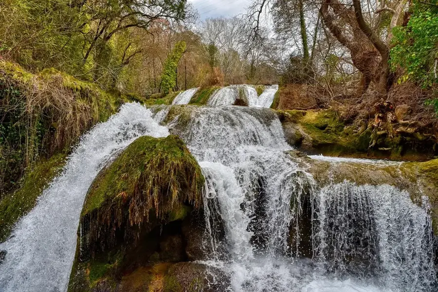
Nature
More places