Plizio Visual Lab
Cauto River
Weather…
Water temperature…
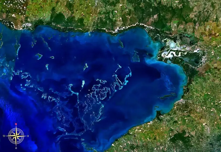
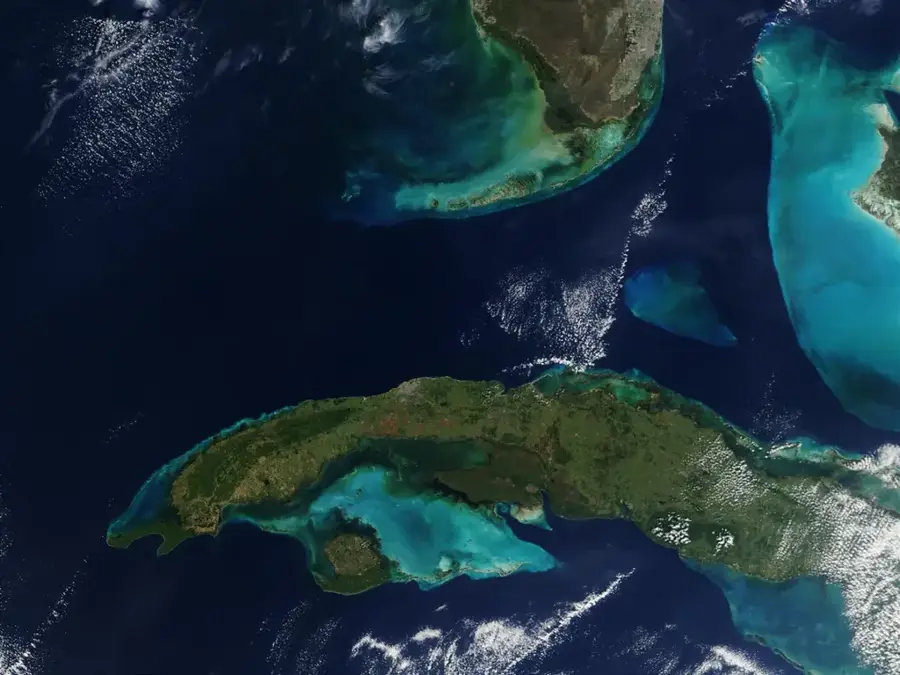
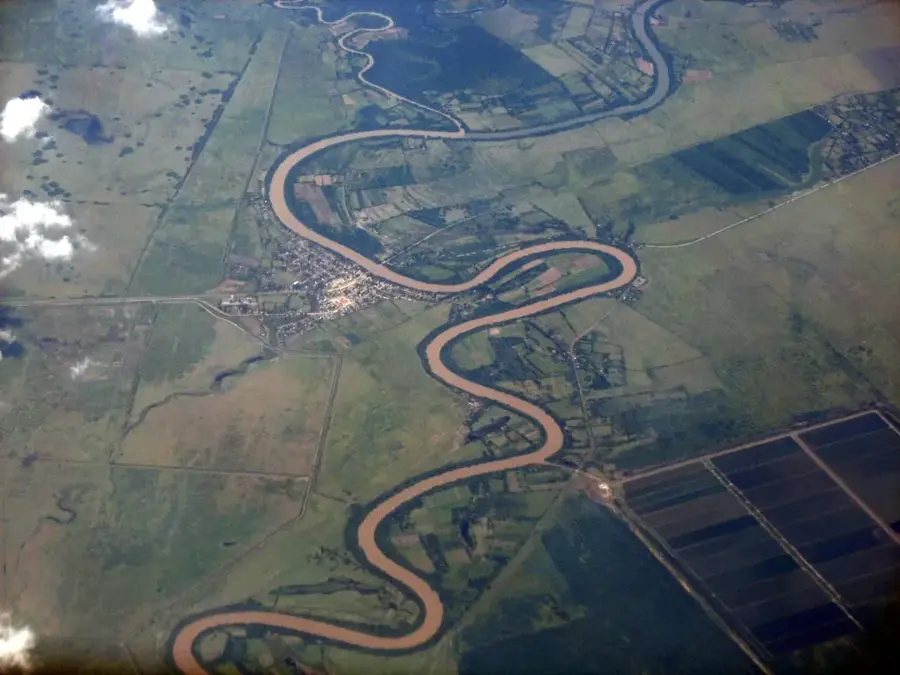
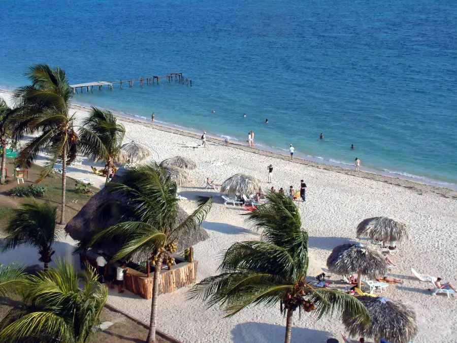
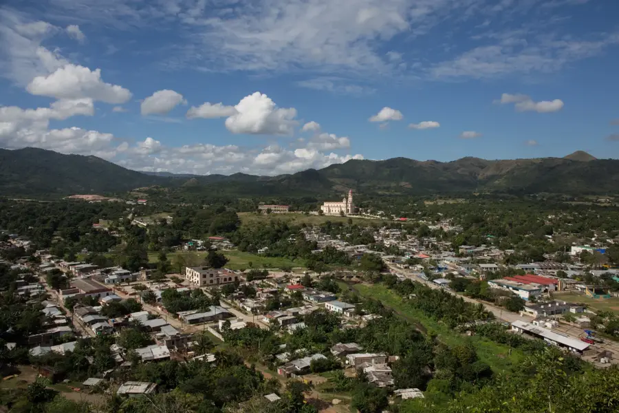
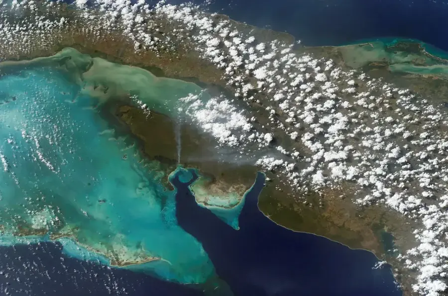
The Río Cauto is the longest river in Cuba, stretching approximately 370 kilometers and serving as a vital waterway for the eastern part of the island. It originates in the Sierra Maestra mountains within the Santiago de Cuba province and flows westward through Granma and Las Tunas provinces before emptying into the Gulf of Guacanayabo. Its drainage basin covers about 8,900 square kilometers, accounting for nearly 8 percent of Cuba's total land area. Although the river was historically used for transporting timber and agricultural products, today it is navigable for only about 110 kilometers due to sedimentation and fluctuating water levels. The Río Cauto plays a decisive role in the irrigation of the surrounding fertile valleys, where sugarcane and rice are the primary crops. The river's delta houses one of the country's most significant wetland areas, providing a critical habitat for numerous endemic bird species and the Cuban crocodile. In recent decades, extensive environmental programs have been initiated to improve water quality and combat the negative effects of deforestation in its headwater regions.
- Location: Cuba
- Nearby: Campechuela (9 km)
Best time to visit & climate
The most pleasant time to visit is Jan, Feb, Dec.
| Jan | Feb | Mar | Apr | May | Jun | Jul | Aug | Sep | Oct | Nov | Dec | |
|---|---|---|---|---|---|---|---|---|---|---|---|---|
| Avg °C | 25 | 25 | 26 | 28 | 28 | 29 | 29 | 29 | 29 | 27 | 26 | 25 |
| Rain mm | 19 | 17 | 24 | 40 | 89 | 84 | 47 | 69 | 78 | 100 | 42 | 21 |
📋 Practical info
Geography
Facts
- Total length of approximately 370 kilometers.
- The longest river located on the island of Cuba.
- Drains a total area of 8,893 square kilometers.
- Only about 110 kilometers are deep enough for navigation.
- Source of irrigation for major sugarcane and rice fields.
- Delta provides a habitat for the endemic Cuban crocodile.
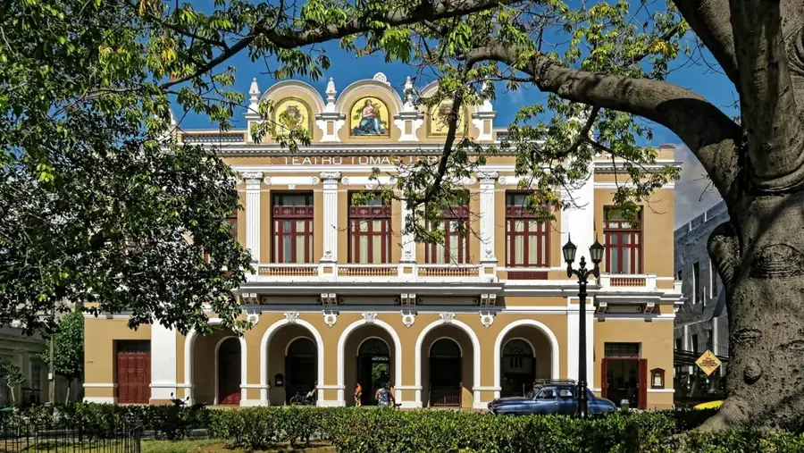
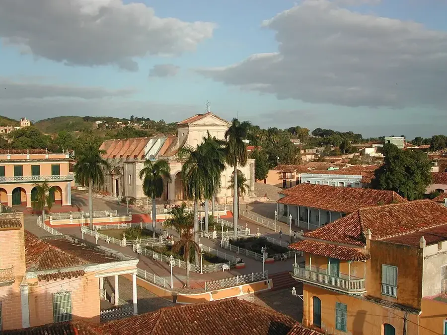
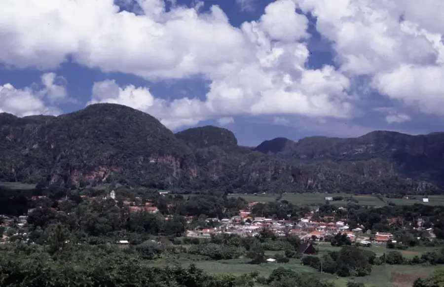
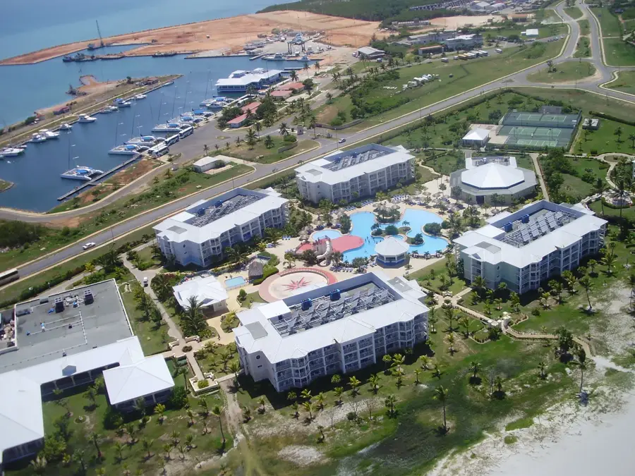
Explore nearby
Notable places around
Route planner — Car & Motorhome
Where do you start? We build the route here, with stops and country notes along the way.
© OpenStreetMap contributors · OpenRouteService
Sights nearby
Frequently asked questions
How long is the Cauto River?
Is the river navigable?
What animals can be seen there?
Are there boat tours?
Is the water suitable for swimming?
Cauto River: where is it located?
Cauto River: when is the best time to visit?
Cauto River: why is it worth visiting?

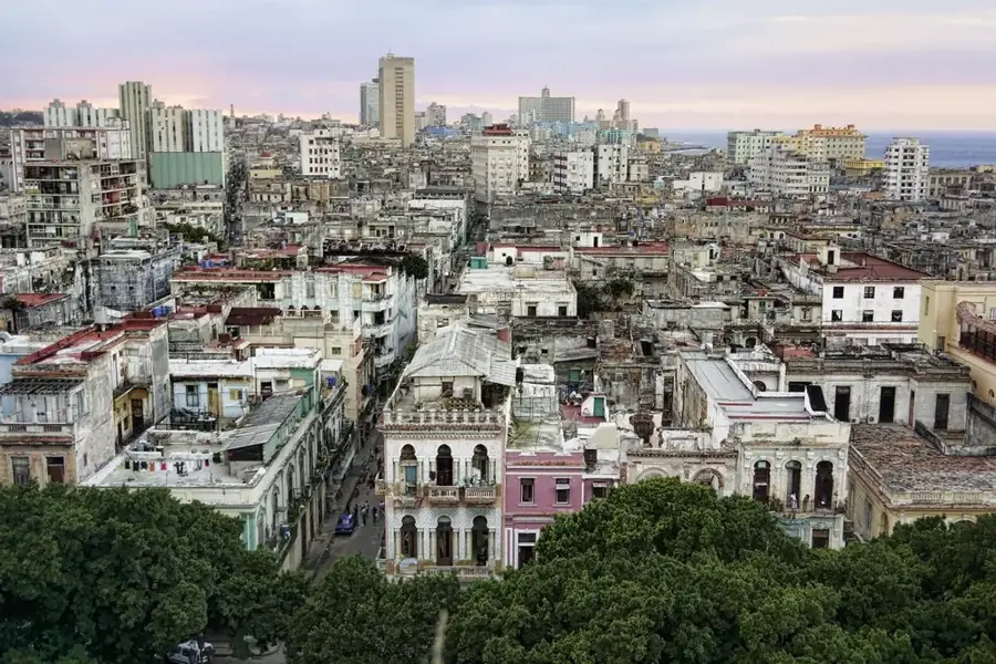
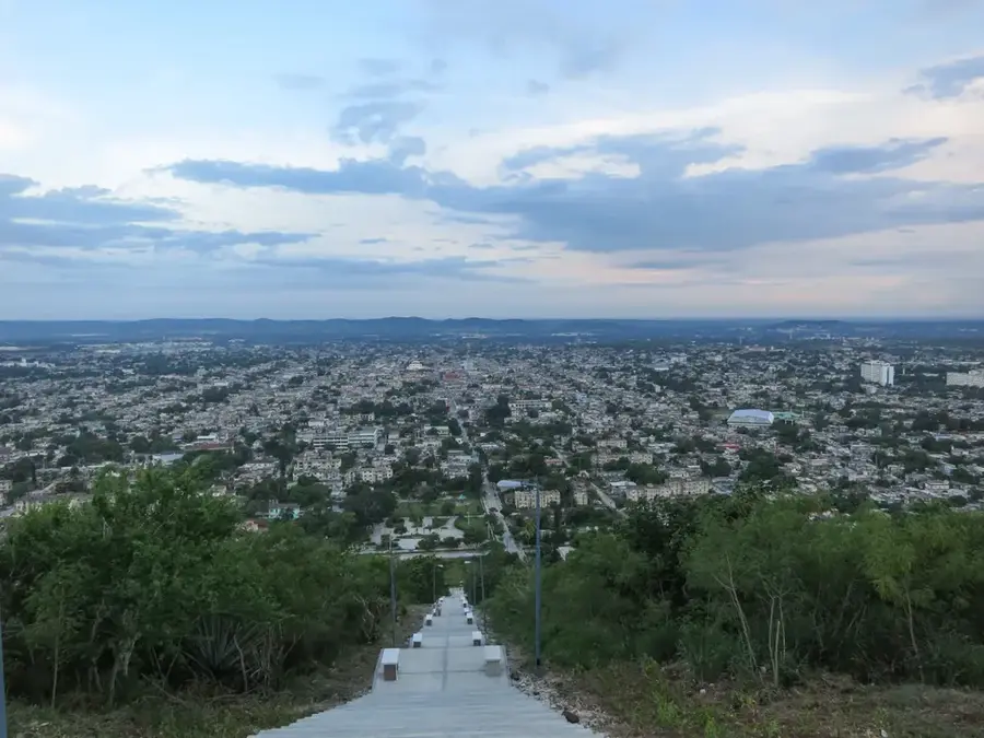
Nearby cities
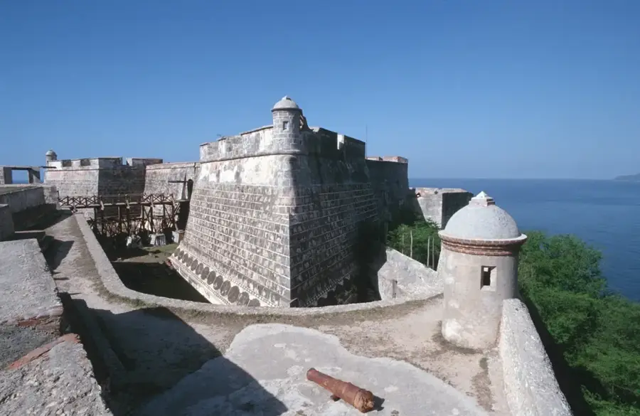
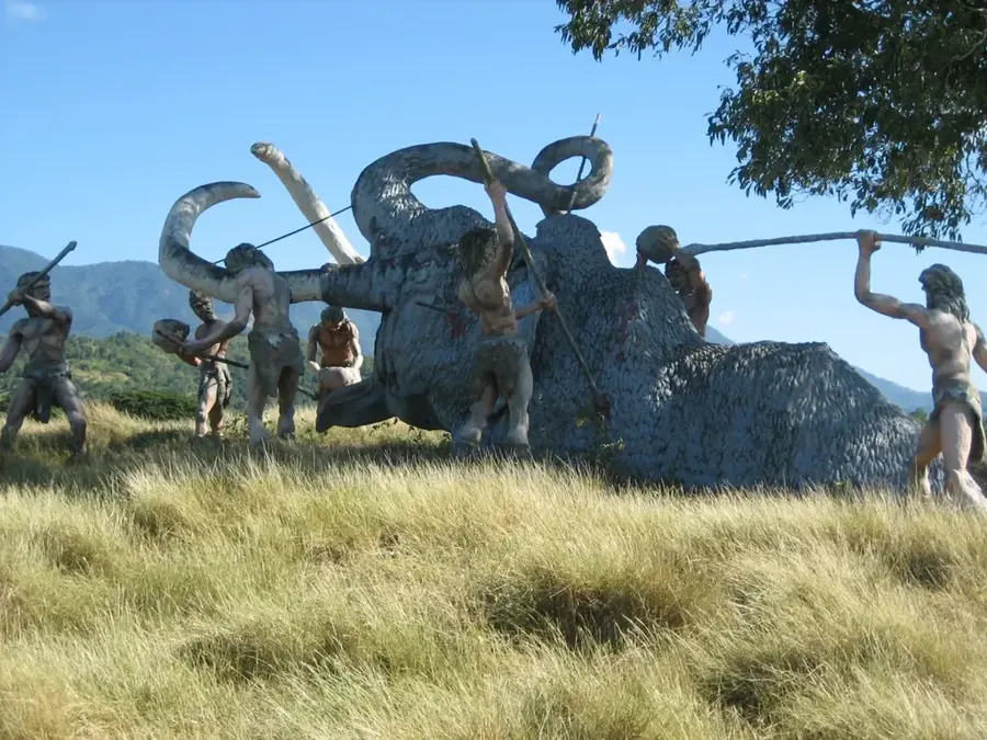
History & landmarks
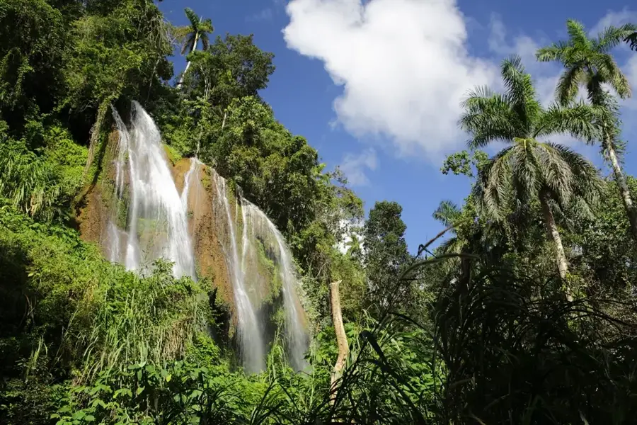
Nature
More places