Plizio Visual Lab
Amancio

ℹ️Practical info — Amancio
▾
🌤 Weather — 5 days
📍 Nearby
Sights nearby
💡 Tips
- Bring enough Cuban Pesos (CUP) in cash, as ATMs are scarce and cards are rarely used.
- Internet access may be limited; purchase ETECSA Wi-Fi cards for use in the main public parks.
- Take a ride in a horse-drawn carriage (coche), a common and cheap local transport method.
- Seek shade during the intense midday heat, exploring early morning or late afternoon.
🍽 Food
Fresh sugarcane juice, grab one from the street vendors.
Roast pork, best enjoyed at the local paladares.
Cuban rice with black beans from small family-run restaurants.
🛍 Shopping · 🧘 Quiet spots
The local farmers' market is great for fresh tropical fruits.
Find authentic varieties at small corner shops.
Sit on a shaded bench and watch the local life unfold.
Enjoy the peaceful rural views just outside the town.
Water temperature…
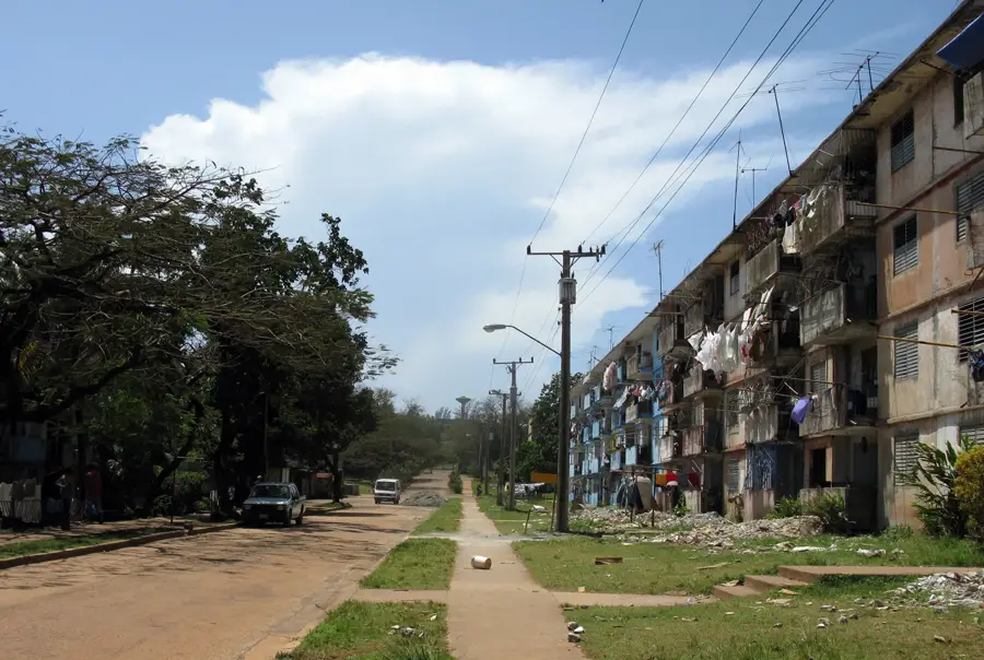
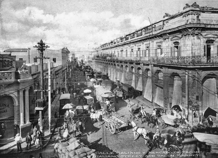
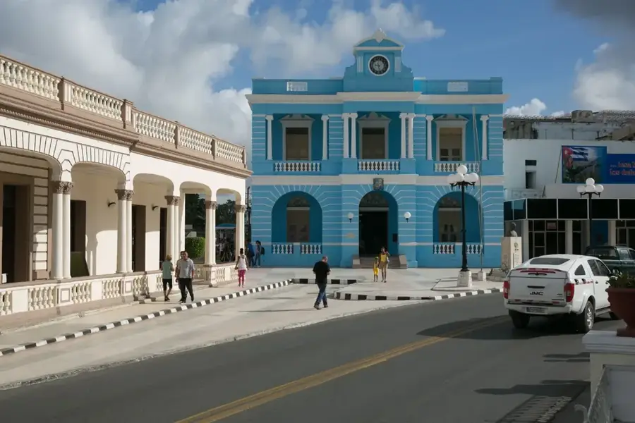
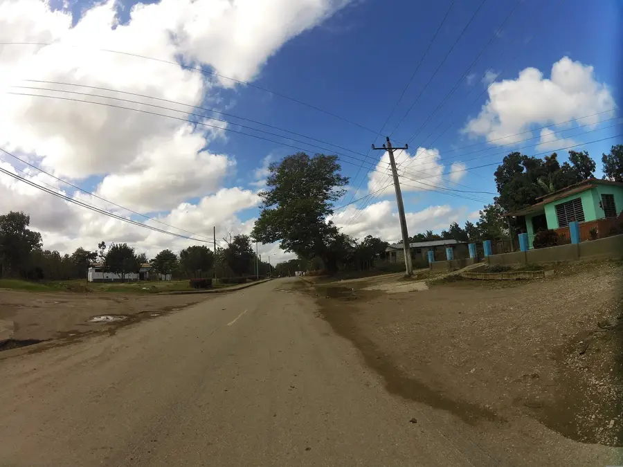
Amancio, originally known as San Francisco de Guayabal, is a municipality located in the southwestern part of the Las Tunas province in Cuba. The town's growth was catalyzed in the early 20th century by the establishment of the "Francisco" sugar mill, which was later renamed after the labor leader Amancio Rodríguez. The history of the city is deeply intertwined with the Cuban labor movement and the struggles for workers' rights within the sugar industry. Geographically, the area is characterized by flat, fertile plains that provide good conditions for large-scale sugarcane cultivation, which remains the backbone of the local economy. Amancio also features a coastline along the Gulf of Guacanayabo, making commercial fishing a significant secondary industry for the region. While the urban landscape is predominantly functional and industrial, the town maintains a strong sense of community and cultural identity rooted in its agricultural heritage and revolutionary history.
- Location: Cuba
- Nearby: Colombia (18 km)
- Population: ~41.523 (2023)
Best time to visit & climate
The most pleasant time to visit is Jan, Feb, Dec.
| Jan | Feb | Mar | Apr | May | Jun | Jul | Aug | Sep | Oct | Nov | Dec | |
|---|---|---|---|---|---|---|---|---|---|---|---|---|
| Avg °C | 24 | 25 | 26 | 27 | 28 | 28 | 29 | 29 | 28 | 27 | 25 | 25 |
| Rain mm | 19 | 22 | 39 | 53 | 138 | 150 | 76 | 119 | 127 | 126 | 46 | 21 |
Geography
Facts
- The municipality of Amancio covers an area of 857 square kilometers.
- The local sugar mill was founded in 1899 as the Francisco Sugar Company.
- Amancio Rodríguez, the town's namesake, was assassinated in 1949.
- The city is located approximately 90 kilometers southwest of Las Tunas city.
- The region is bordered to the south by the Gulf of Guacanayabo.
- The average annual temperature in the area is around 26 degrees Celsius.
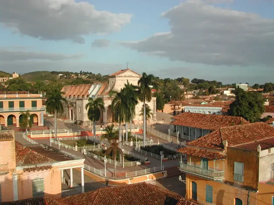
Explore nearby
Notable places around
Route planner — Car & Motorhome
Where do you start? We build the route here, with stops and country notes along the way.
© OpenStreetMap contributors · OpenRouteService
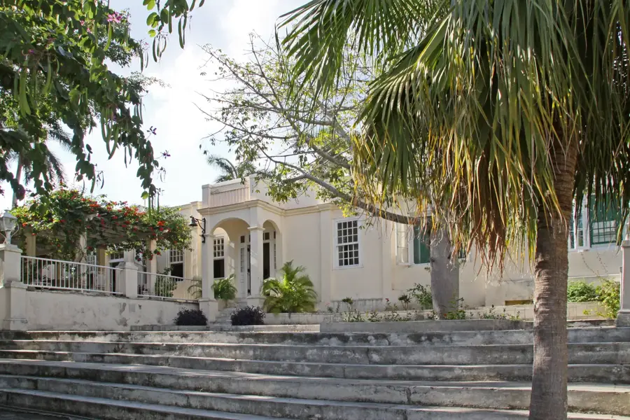
Sights in the town Amancio (1)
Frequently asked questions
What is Amancio known for?
Are there attractions?
What is the coast like?
Is it touristic?
How to get there?
Amancio: where is it located?
Amancio: when is the best time to visit?
Amancio: why is it worth visiting?

Nearby cities
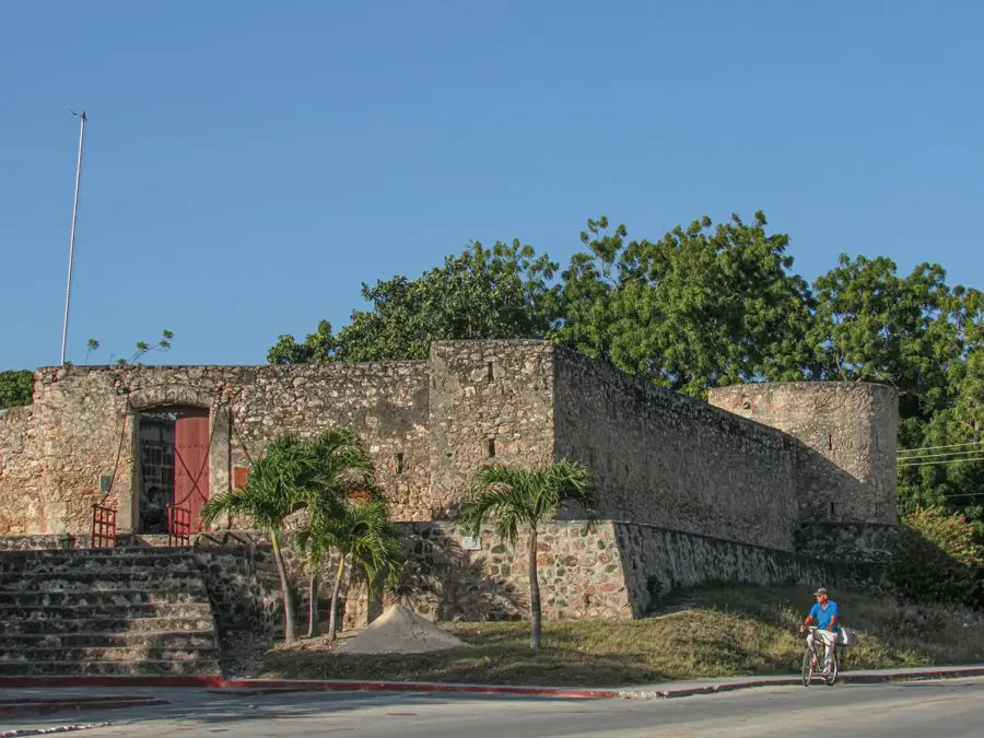

History & landmarks
More places