Plizio Visual Lab
Campechuela

ℹ️Practical info — Campechuela
▾
🌤 Weather — 5 days
📍 Nearby
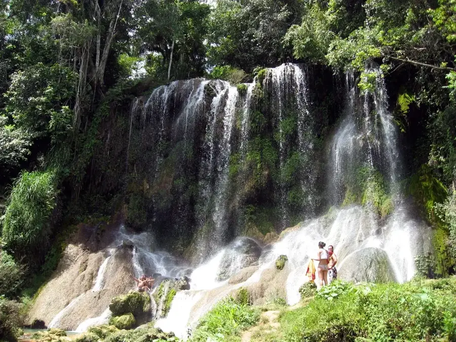
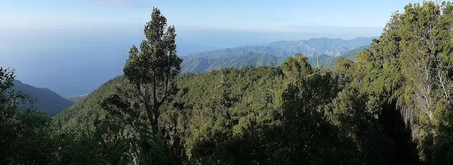
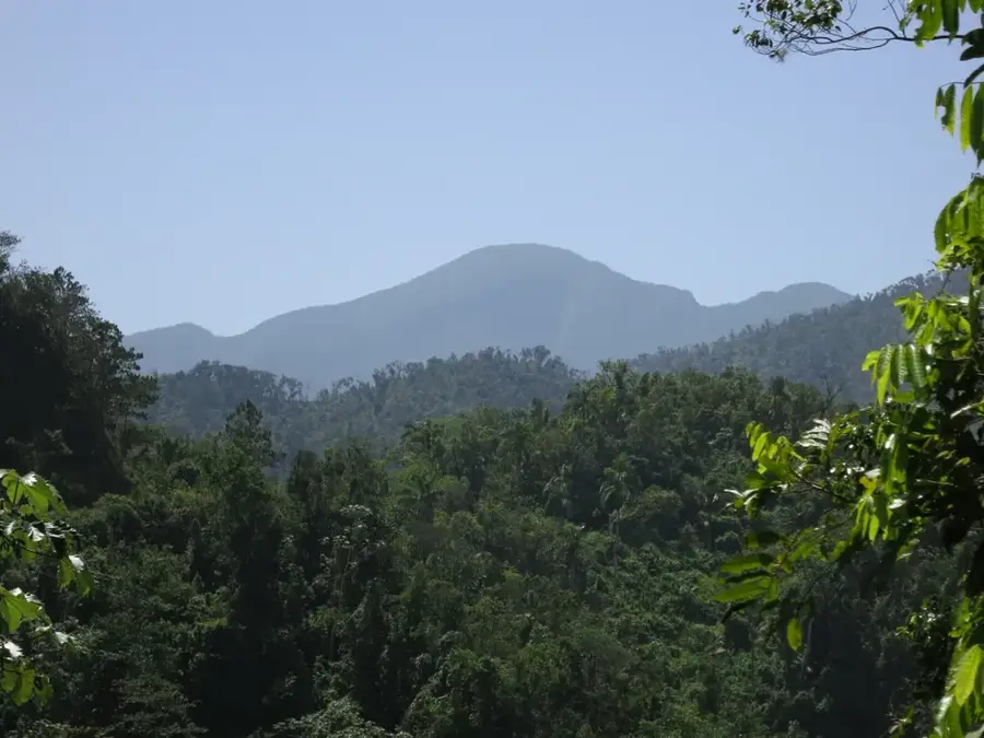
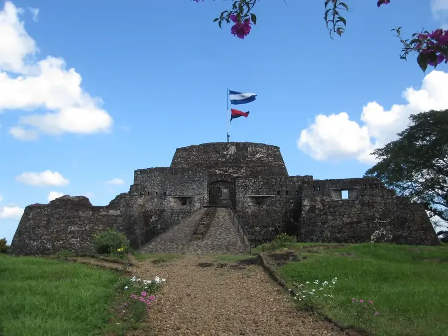
Sights nearby
💡 Tips
- Expect an authentic, untouristy Cuban atmosphere; interactions here are genuine but require some basic Spanish.
- Bring enough Cuban Pesos (CUP) in cash, as credit cards and foreign currencies are rarely accepted locally.
- Horse-drawn carriages (coches) are a common and affordable way to get around the town center.
- Power outages can happen frequently, so it is highly recommended to bring a fully charged power bank.
🍽 Food
Traditional Cuban roast pork, often served at local family-run paladares (private restaurants).
As a coastal town, small local eateries often serve the catch of the day with rice and beans.
Fresh tropical fruit smoothies sold by street vendors and small local cafeterias.
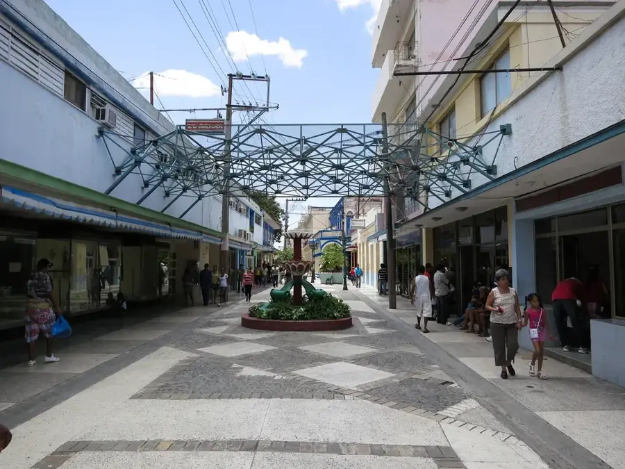
🛍 Shopping · 🧘 Quiet spots
The local farmers market where you can find fresh tropical fruits and vegetables at local prices.
Small bakeries selling simple, freshly baked Cuban breads and sweets in the morning.
The coastal promenade is relatively quiet and features nice views of the Guacanayabo Gulf.
The main square is shaded and a good spot to relax while observing the slow pace of town life.
Water temperature…
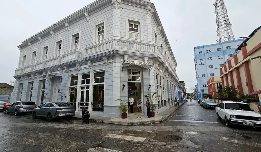
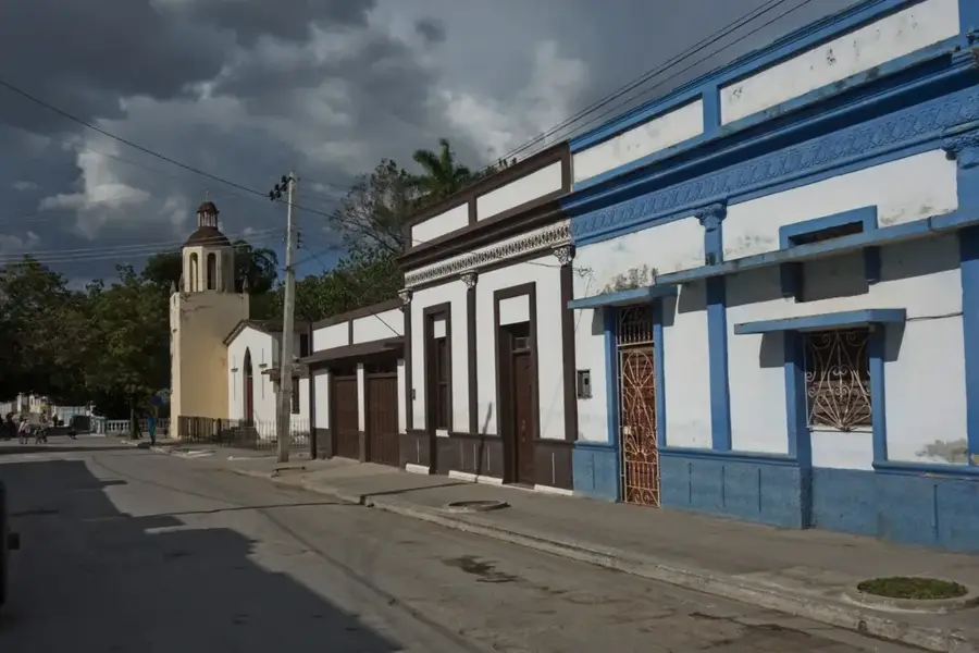
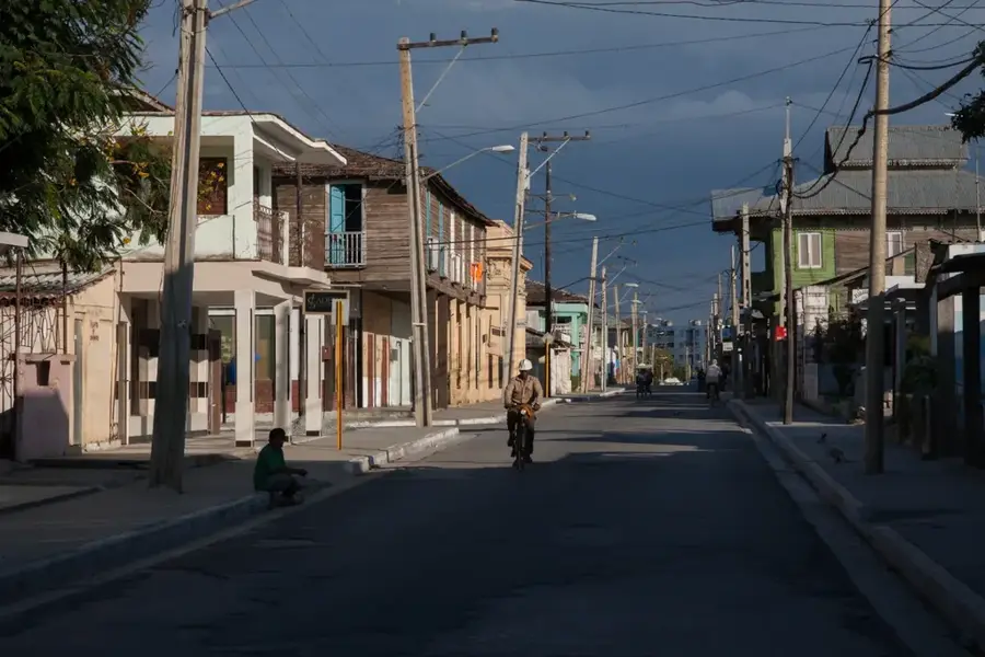
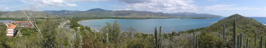
Campechuela is a pretty coastal city in the Granma province, located on the southern shore of the Gulf of Guacanayabo in eastern Cuba. Officially founded in 1869, the municipality has maintained a deep connection to both maritime activities and agricultural production over the decades. Geographically, the area extends from fertile coastal plains to the initial slopes of the Sierra Maestra mountains, fostering a diverse range of flora and fauna. Economic life is primarily driven by the sugar industry, with the "Enidio Díaz Machado" sugar mill serving as the region's main employer. Alongside sugarcane cultivation, commercial fishing and small-scale farming play vital roles in the local livelihood. Historically, the region was a significant theater during Cuba's 19th-century independence wars and served as a transit area for rebel forces in the 1950s. Today, Campechuela is known for its tranquil atmosphere, its seaside promenade, and the warmth of its people, who take pride in their enduring rural traditions.
- Location: Cuba
- Nearby: Marea del Portillo (12 km)
- Population: ~25.069 (2023)
Best time to visit & climate
The most pleasant time to visit is Jan, Feb, Dec.
| Jan | Feb | Mar | Apr | May | Jun | Jul | Aug | Sep | Oct | Nov | Dec | |
|---|---|---|---|---|---|---|---|---|---|---|---|---|
| Avg °C | 25 | 26 | 26 | 27 | 28 | 29 | 29 | 29 | 29 | 28 | 27 | 26 |
| Rain mm | 27 | 21 | 33 | 53 | 151 | 135 | 88 | 128 | 150 | 163 | 60 | 26 |
Geography
Facts
- The town was officially founded on February 23, 1869.
- Campechuela covers an area of approximately 577 square kilometers.
- The city is located on the main highway connecting Manzanillo and Niquero.
- The highest point in the municipality exceeds 400 meters in the Sierra Maestra slopes.
- The local sugar mill was known as 'Central San Ramón' before the revolution.
- The coastal area features several coral reefs within the Gulf of Guacanayabo.
Explore nearby
Notable places around
Route planner — Car & Motorhome
Where do you start? We build the route here, with stops and country notes along the way.
© OpenStreetMap contributors · OpenRouteService
Frequently asked questions
What is the main feature of Campechuela?
Can you swim in the sea there?
What role does agriculture play?
Is the town well-connected?
Are there cultural events?
Campechuela: where is it located?
Campechuela: when is the best time to visit?
Campechuela: why is it worth visiting?

Nearby cities
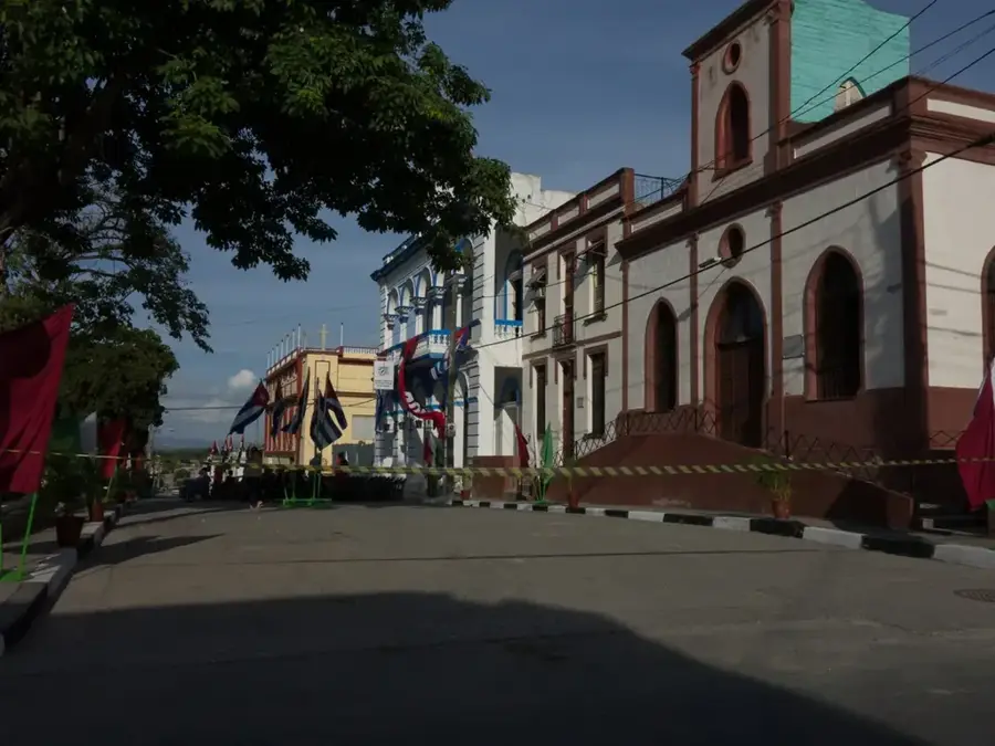
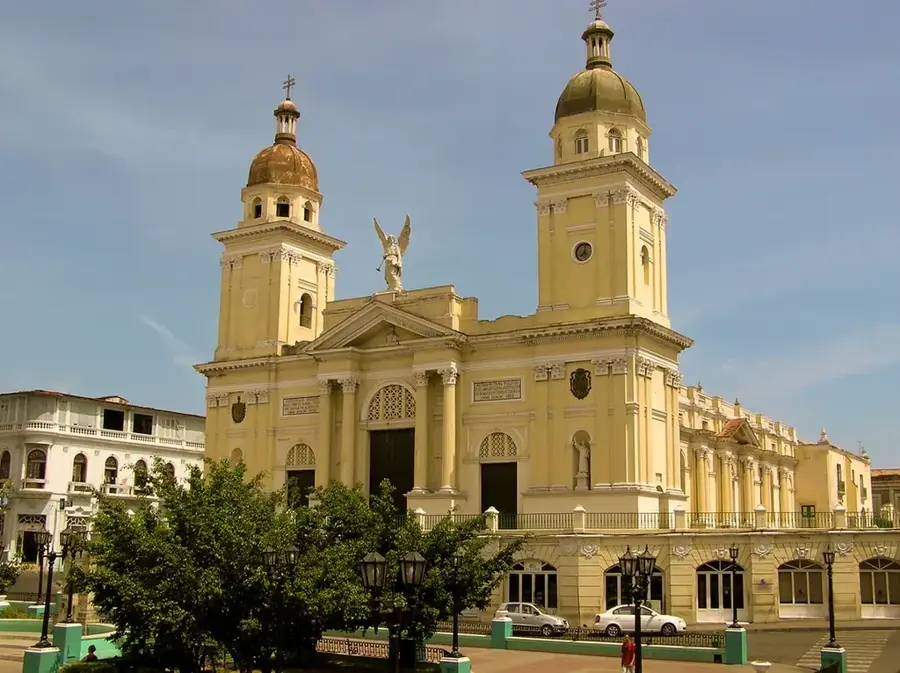
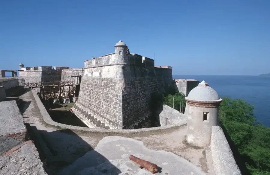
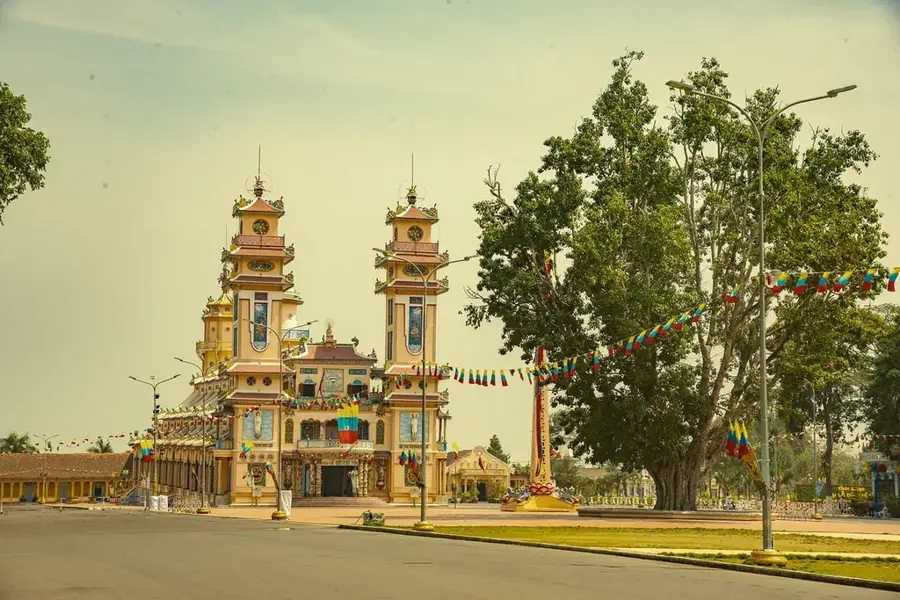
History & landmarks

Nature
More places