Plizio Visual Lab
Cayo Coco
Weather…
Water temperature…
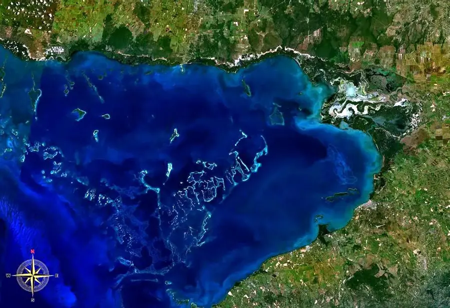
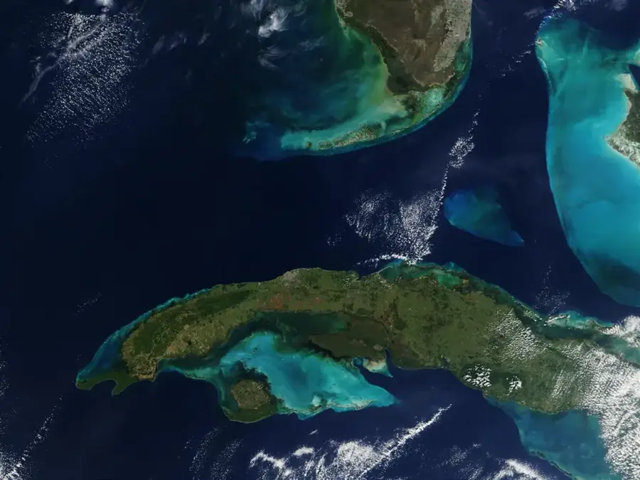
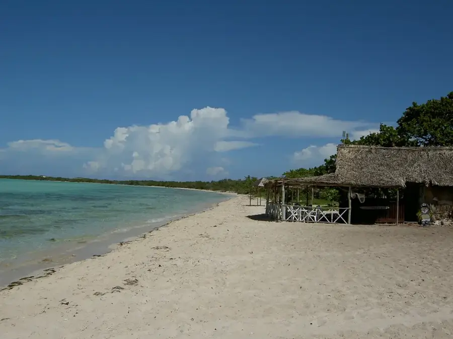
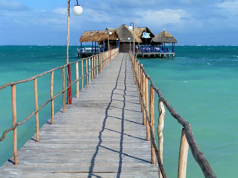
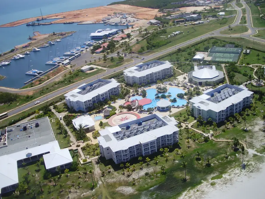
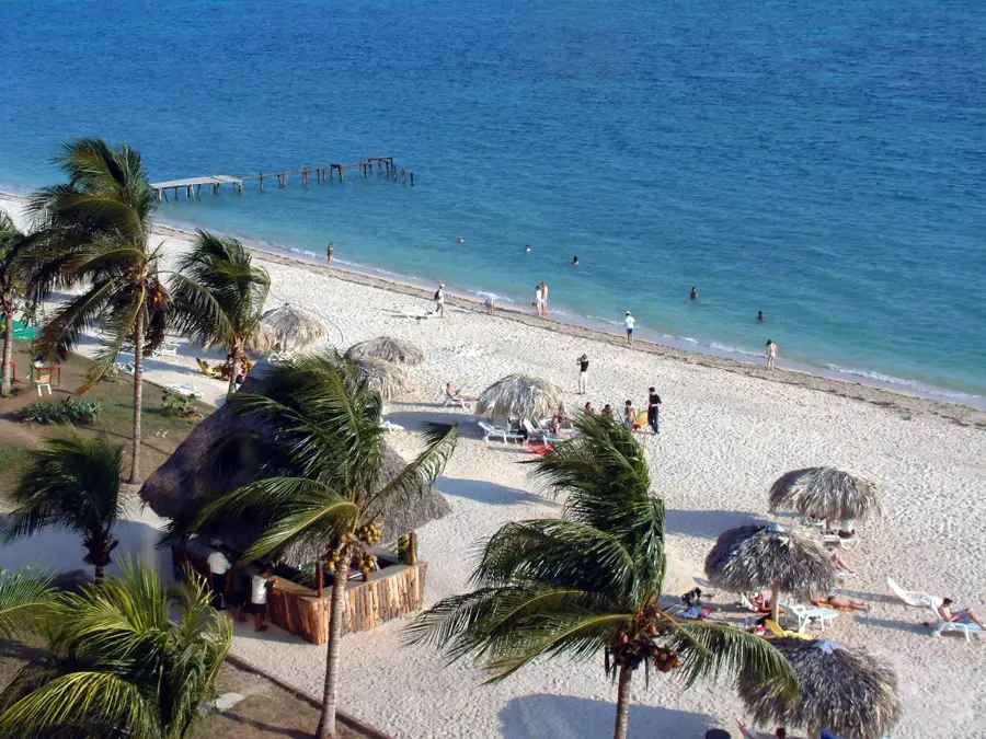
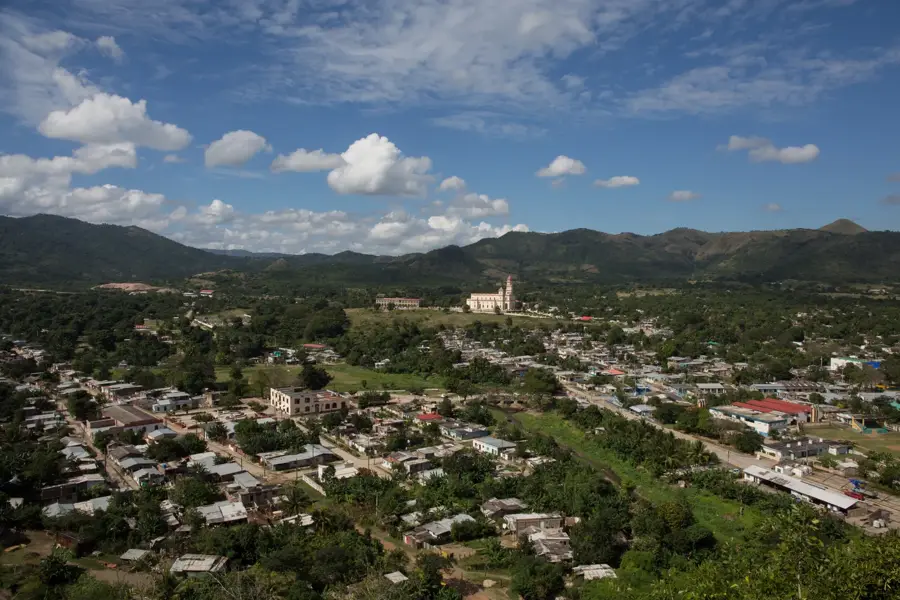
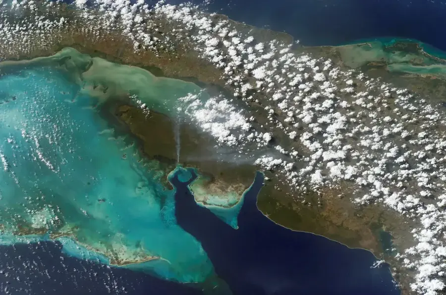
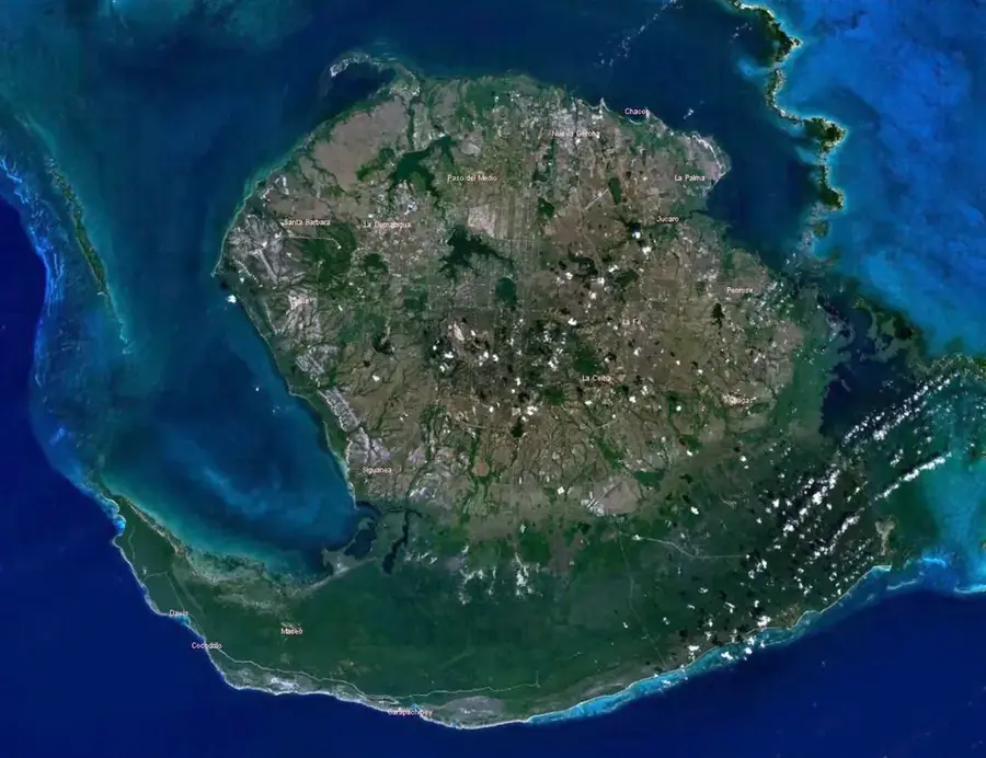
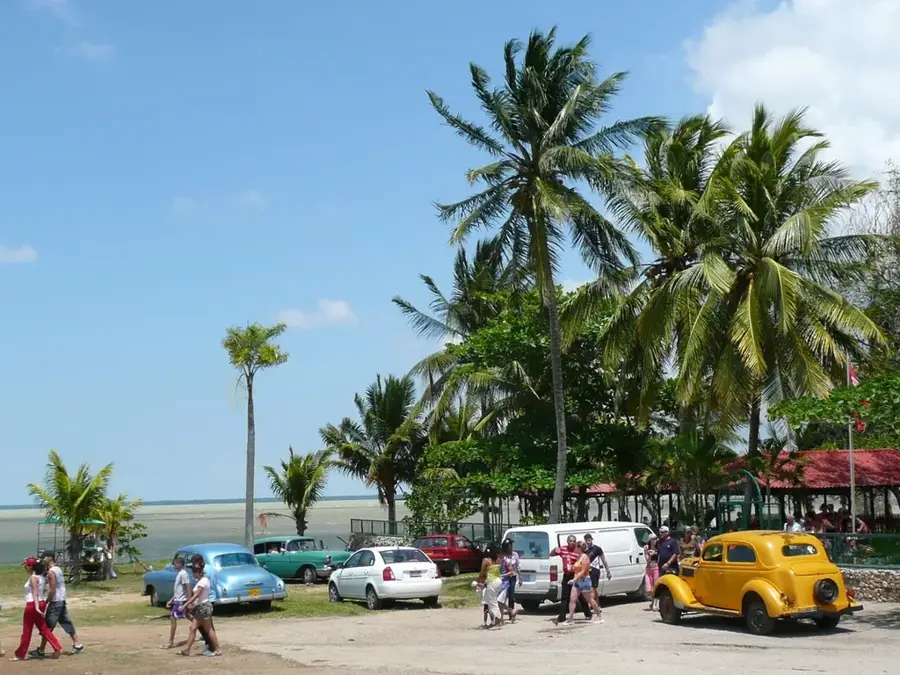
Cayo Coco is an island located off the northern coast of Cuba, forming part of the Jardines del Rey archipelago in Ciego de Ávila Province. Spanning approximately 370 square kilometers, it is the fourth largest island in the Cuban archipelago and is connected to the mainland by a 27-kilometer long causeway known as a pedraplén. The island is celebrated for its pristine white sand beaches, such as Playa Los Flamencos and Playa Prohibida, and its shallow, crystalline turquoise waters. Much of the island remains a protected nature reserve, serving as home to one of the largest colonies of pink flamingos in the Caribbean. Geologically, Cayo Coco is composed of limestone formations and coral sand, which accounts for the exceptional clarity of the surrounding sea. Tourist development began in the early 1990s with a focus on preserving the extensive mangrove forests and diverse marine life. Today, it stands as a major international resort destination, served by its own dedicated facility, the Jardines del Rey Airport.
- Location: Cuba
- Nearby: Primero de Enero (14 km)
Best time to visit & climate
The most pleasant time to visit is Jan, Feb, Dec.
| Jan | Feb | Mar | Apr | May | Jun | Jul | Aug | Sep | Oct | Nov | Dec | |
|---|---|---|---|---|---|---|---|---|---|---|---|---|
| Avg °C | 24 | 24 | 25 | 26 | 27 | 28 | 29 | 29 | 29 | 28 | 26 | 25 |
| Rain mm | 24 | 21 | 34 | 52 | 130 | 129 | 92 | 131 | 130 | 118 | 41 | 25 |
📋 Practical info
Geography
Facts
- The island covers a total land area of approximately 370 square kilometers.
- The causeway connecting it to the mainland was completed in 1988.
- It is home to a wild flamingo colony numbering in the tens of thousands.
- There are 22 kilometers of sandy beaches along the northern coastline.
- The island is named after the White Ibis, locally referred to as the Coco bird.
- Jardines del Rey Airport was built to replace a smaller landing strip in 2002.
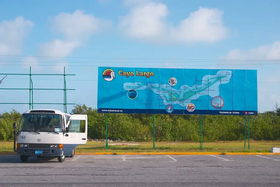
Explore nearby
Notable places around
Route planner — Car & Motorhome
Where do you start? We build the route here, with stops and country notes along the way.
© OpenStreetMap contributors · OpenRouteService
Sights nearby
Frequently asked questions
How do I get to Cayo Coco?
Are there wild flamingos there?
Is the island inhabited?
Which beach is the most beautiful?
Can you go diving there?
Cayo Coco: where is it located?
Cayo Coco: when is the best time to visit?
Cayo Coco: why is it worth visiting?

Nearby cities
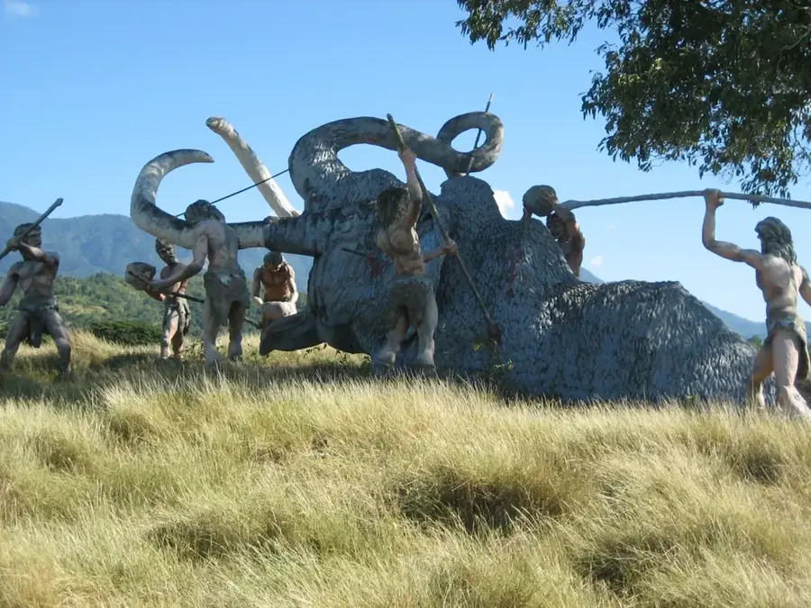
History & landmarks
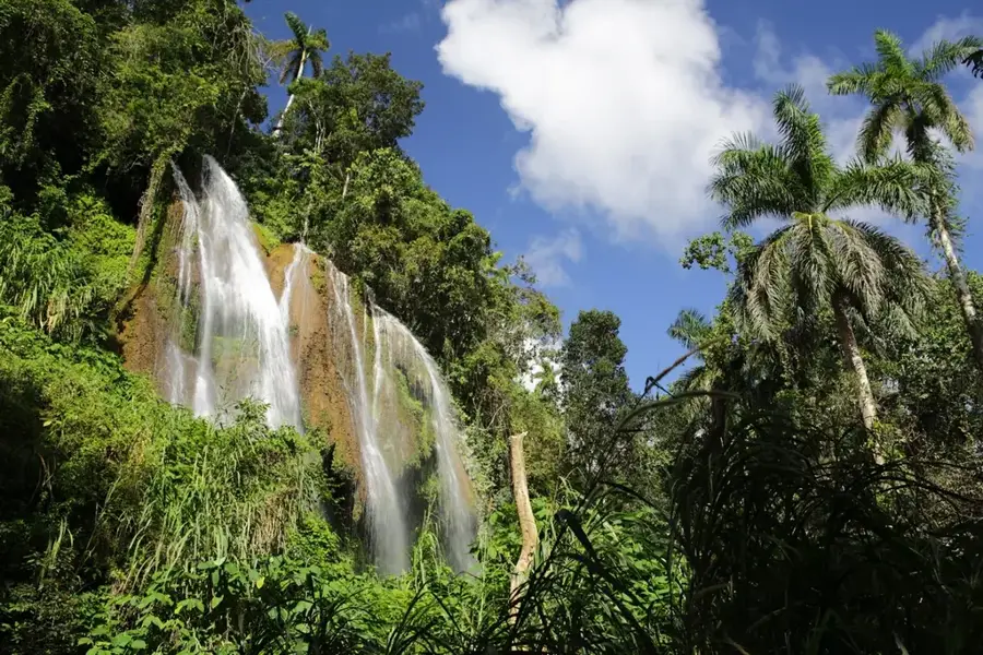
Nature
More places