Plizio Visual Lab
Cañas
ℹ️Practical info — Cañas
▾
🌤 Weather — 5 days
📍 Nearby
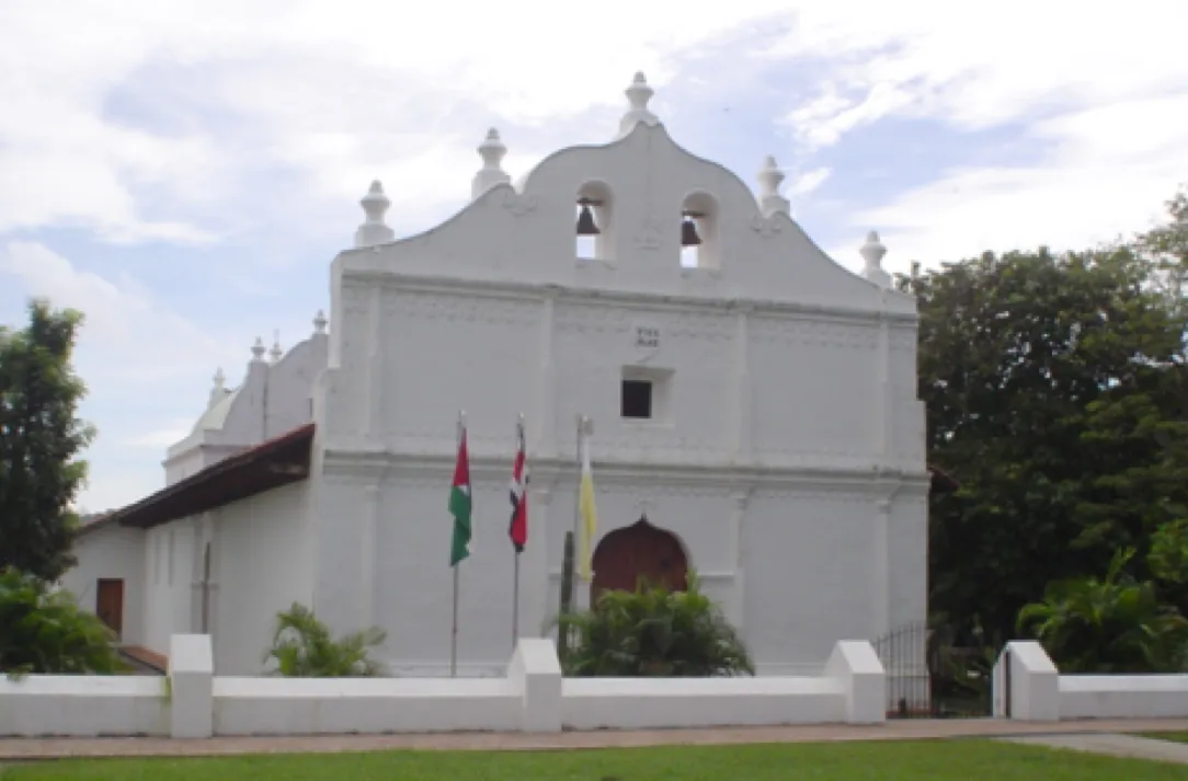
Sights nearby
💡 Tips
- The climate here is extremely hot; plan your outdoor activities for the early morning or late afternoon.
- It serves as an excellent, affordable base camp for visiting the nearby Palo Verde National Park.
- Eat at local 'sodas' (small diners) for the most authentic and budget-friendly Costa Rican meals.
- Traffic on the passing Pan-American Highway can be heavy, so allow extra travel time.
🍽 Food
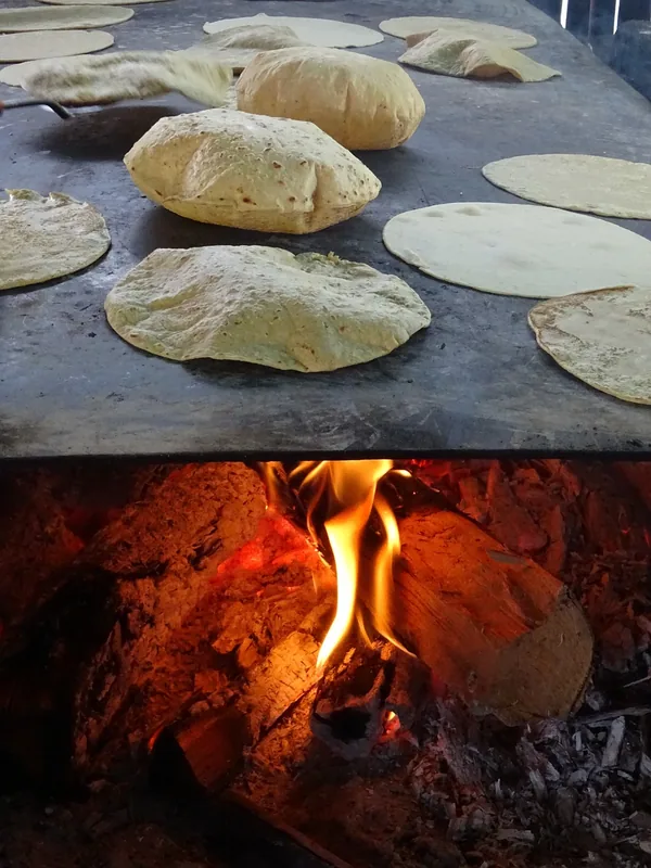
The classic Costa Rican breakfast of rice and beans, served steaming hot at any local soda.
A hearty traditional lunch plate featuring meat, rice, beans, and plantains.
A highly refreshing local fruit drink, first-rate for cooling down in the Guanacaste heat.
🛍 Shopping · 🧘 Quiet spots
Visit the weekend feria to buy incredibly fresh tropical fruits directly from local growers.
Stop at the stalls along the main roads for local honey and snacks.
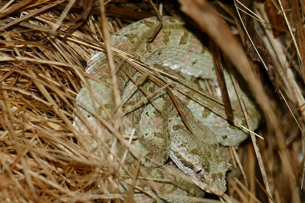
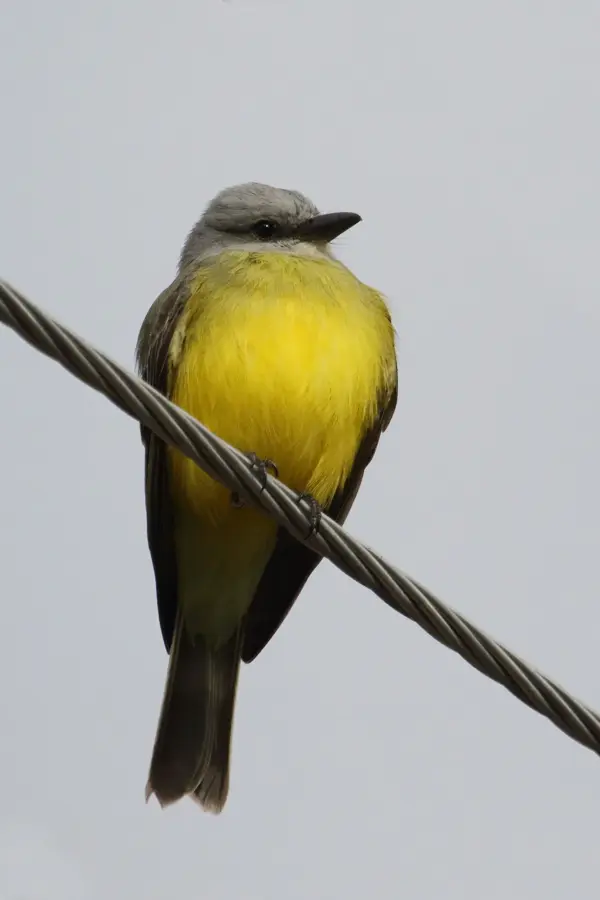
Find a shaded spot near the river to watch exotic birds and enjoy the breeze.
A classic town square providing deep shade under large trees, right next to the church.
Water temperature…
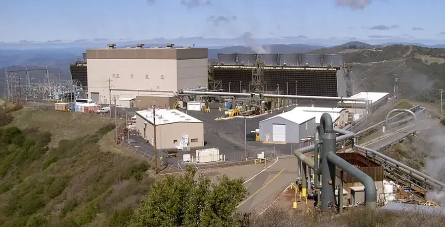
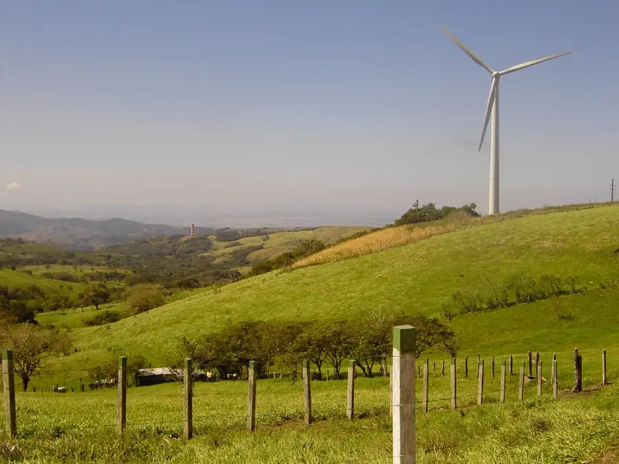
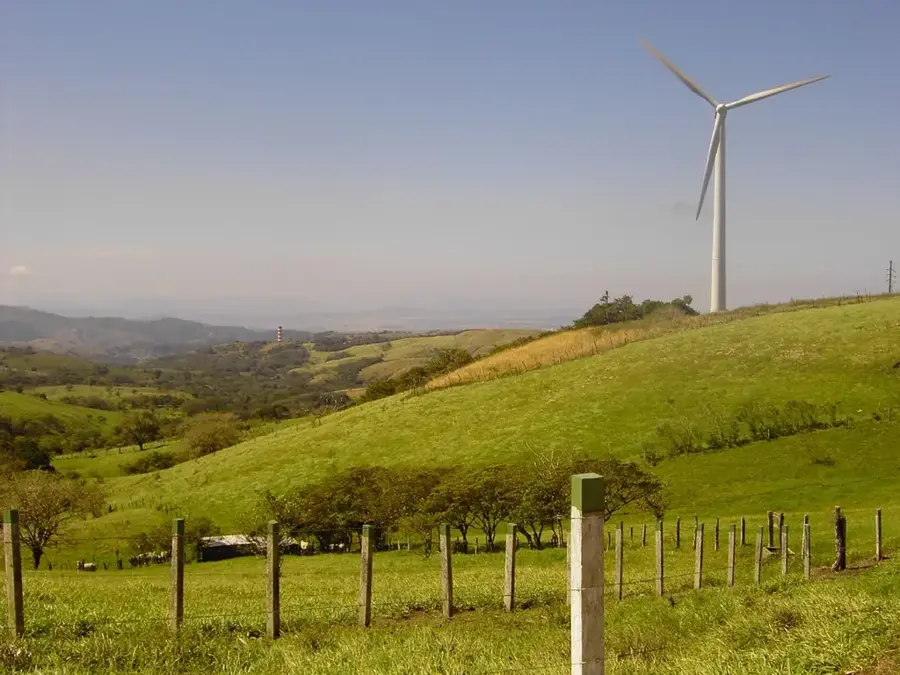
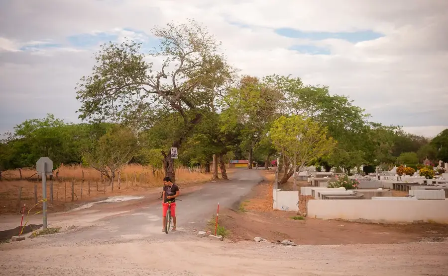
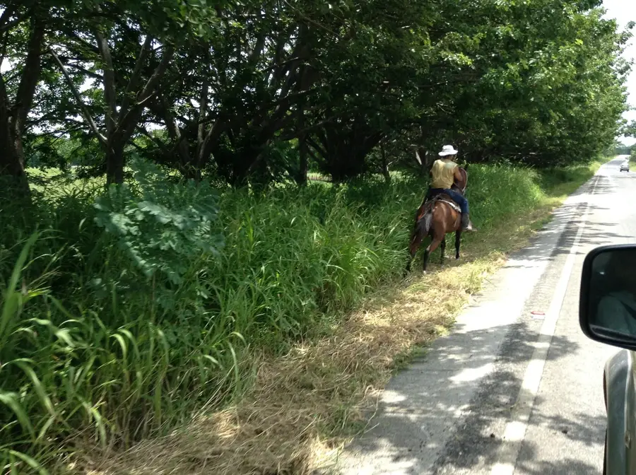
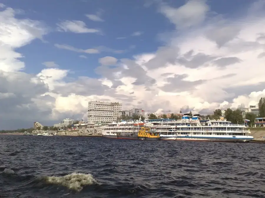
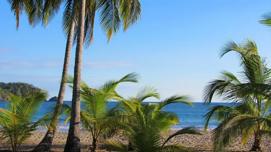
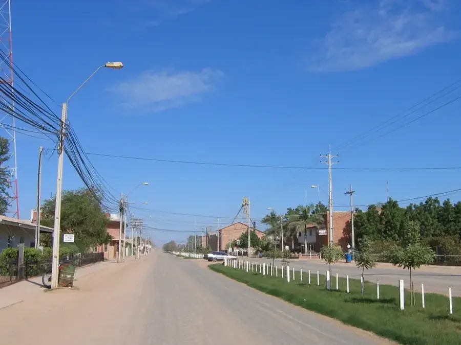
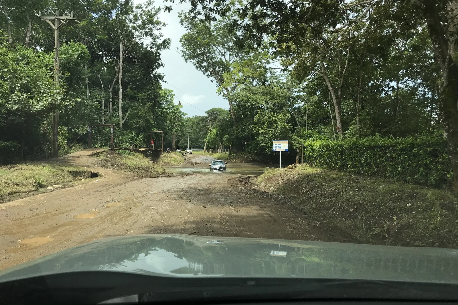
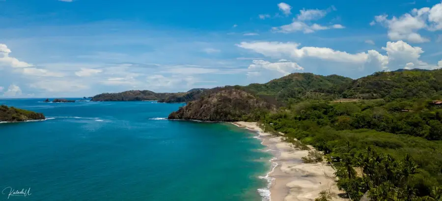
Located in the heart of the Guanacaste province, Cañas is a bustling agricultural hub essential to the Costa Rican economy. The town is primarily known for its extensive irrigation projects, which have transformed the dry tropical landscape into productive fields for rice, sugar cane, and large-scale cattle ranching. Beyond its commercial importance, Cañas serves as a strategic starting point for travelers headed to northern eco-tourism destinations. Its proximity to the Corobicí River gives excellent opportunities for river rafting and birdwatching, making it more than just a transit point. Visitors can experience a genuine slice of rural Costa Rican life here, characterized by a hot tropical climate and a landscape dotted with windmills and lush fields. The town's central location makes it a vital link between the interior highlands and the coastal regions of the northwest.
- Location: Costa Rica
- Top sights: Cañas (canton) · Cañas District
- Nearby: Bijagua (6 km)
- Population: ~20.306 (2016)
Best time to visit & climate
The most pleasant time to visit is Jan, Feb, Dec.
| Jan | Feb | Mar | Apr | May | Jun | Jul | Aug | Sep | Oct | Nov | Dec | |
|---|---|---|---|---|---|---|---|---|---|---|---|---|
| Avg °C | 24 | 25 | 26 | 27 | 27 | 25 | 25 | 25 | 25 | 24 | 24 | 24 |
| Rain mm | 13 | 9 | 10 | 40 | 187 | 177 | 131 | 176 | 252 | 289 | 132 | 28 |
Geography
Facts
- City in Guanacaste province
- Hot and dry climate
- Linked to wind energy projects
Explore nearby
Notable places around
Route planner — Car & Motorhome
Where do you start? We build the route here, with stops and country notes along the way.
© OpenStreetMap contributors · OpenRouteService
Sights in the town Cañas (2)
Frequently asked questions
Why come to Cañas?
Is there nature nearby?
Can you do rafting here?
What is the climate like?
What is the main economy?
Cañas: where is it located?
Cañas: what is there to see?
Cañas: when is the best time to visit?
Cañas: why is it worth visiting?

Nearby cities

History & landmarks


More places