Plizio Visual Lab
Niulakita High Point

Weather…
Water temperature…
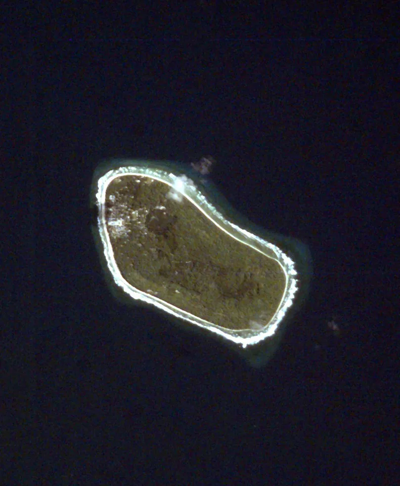
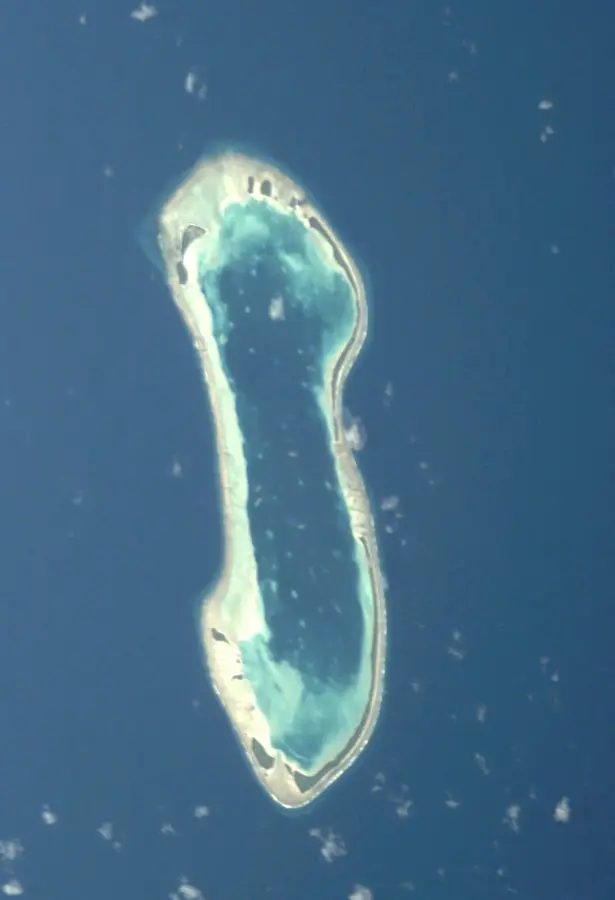
The Niulakita High Point, with a modest elevation of approximately 4.6 meters above sea level, is the highest point in the entire island nation of Tuvalu. Geographically, this rise is located on the eponymous island of Niulakita, the southernmost island of the archipelago. Although this height appears extremely low by international standards, it holds immense topographical significance for a low-lying coral island nation. The formation consists of accumulated coral sand and lithified limestone deposits shaped over millennia by wave action and geological processes. Historically, the highest point served as a landmark for residents and as a place of refuge during extreme storm surges. Vegetation on this slight elevation is denser than in coastal areas, comprising large coconut palms and Pisonia trees. In climate research, the Niulakita High Point is a symbol of the vulnerability of Pacific atoll nations to rising sea levels. It underscores the flat topography of the country, where even minimal changes in ocean levels can have existential consequences.
Explore on the map
How well do you know Tuvalu?
Find cities, landscapes and regions in 10 varied challenges on the interactive map.
Your journey, your memory
A postcard from Niulakita High Point
Turn your own photo into a personal postcard with a local stamp. Free and no sign-up required.
Create a postcardBest time to visit & climate
The most pleasant time to visit is Jul–Sep.
| Jan | Feb | Mar | Apr | May | Jun | Jul | Aug | Sep | Oct | Nov | Dec | |
|---|---|---|---|---|---|---|---|---|---|---|---|---|
| Avg °C | 29 | 28 | 28 | 28 | 29 | 28 | 28 | 28 | 28 | 28 | 28 | 28 |
| Rain mm | 327 | 300 | 229 | 196 | 176 | 165 | 152 | 132 | 127 | 189 | 250 | 289 |
📋 Practical info
Geography
Facts
- The official elevation is recorded as approximately 4.6 meters (15 feet) above sea level.
- Tuvalu has the second-lowest 'highest point' of any sovereign nation in the world.
- The point is located within the central forested interior of Niulakita island.
- The terrain consists primarily of fossilized coral debris and accumulated organic matter.
- Niulakita is the only island in the country that reaches this specific elevation.
- Sea-level rise projections are often modeled against this topographical reference point.
Route planner — Car & Motorhome
Where do you start? We build the route here, with stops and country notes along the way.
© OpenStreetMap contributors · OpenRouteService
Sights in the town Niulakita High Point (1)
Sights nearby
Frequently asked questions
How high is the high point on Niulakita?
Is the point developed for tourists?
Are there paths there?
Is it a good hiking destination?
Are there viewpoints there?
Niulakita High Point: where is it located?
Niulakita High Point: when is the best time to visit?
Niulakita High Point: why is it worth visiting?

Nearby cities




History & landmarks



Nature

More places