Plizio Visual Lab
Niulakita Coastline

Weather…
Water temperature…
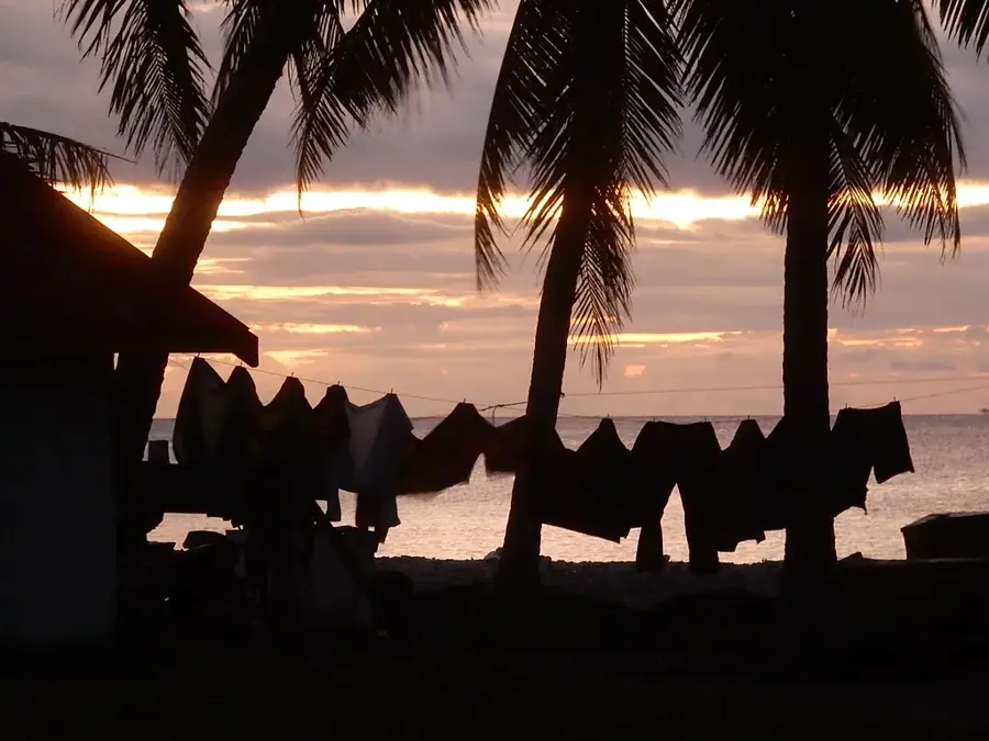
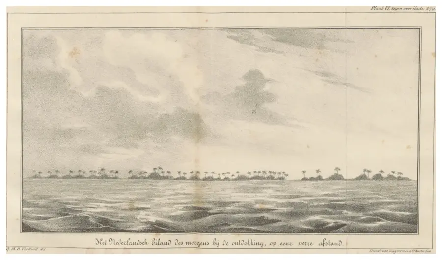
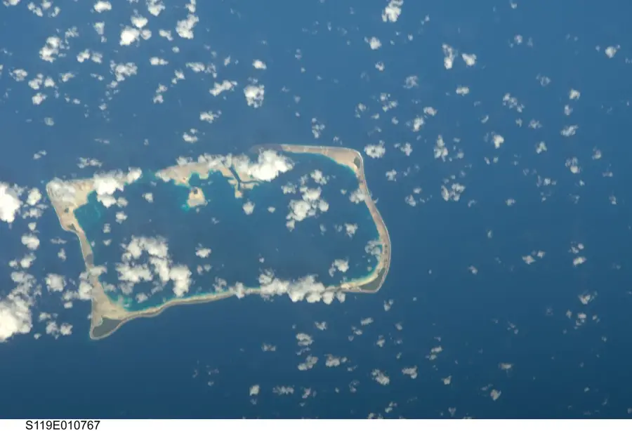
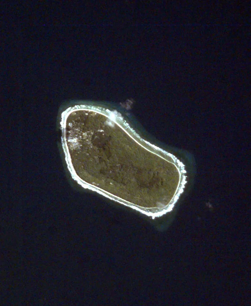
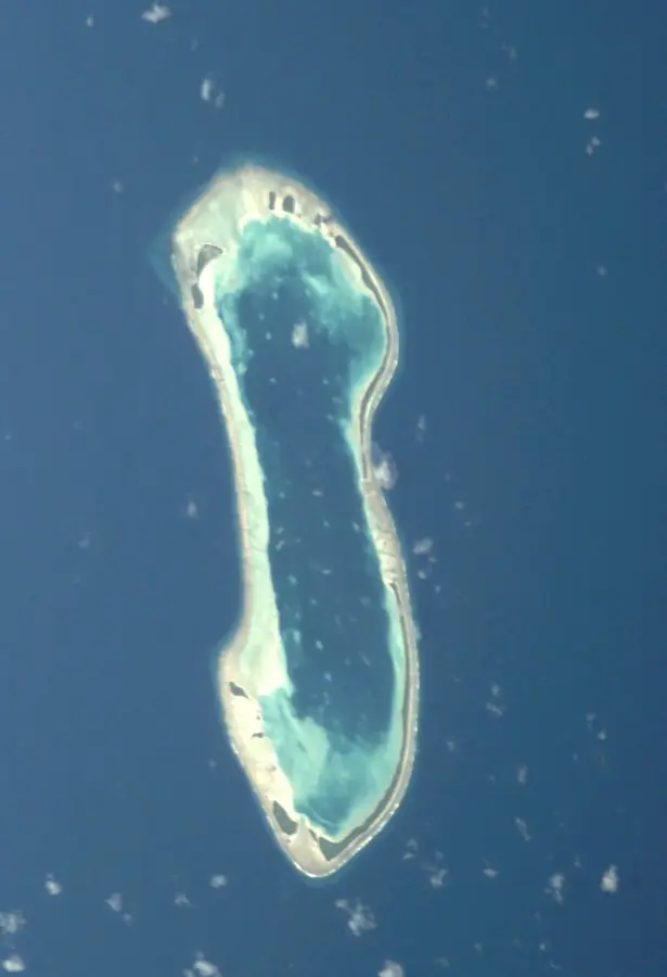
The coastline of Niulakita marks the southernmost boundary of Tuvalu and is characterized by its extreme isolation and steep reef edges. Unlike the northern atolls, Niulakita is a single, oval-shaped reef island without a central lagoon, resulting in a compact and exposed coastal structure. The coast is defined by narrow coral beaches and rugged limestone formations exposed to the constant forces of the Pacific Ocean. Historically, the island was uninhabited for long periods until it was utilized for copra production in the late 19th century. Due to the lack of a natural harbor, access to the island by sea is extremely difficult and often only possible by small boats during calm seas. Coastal vegetation primarily consists of salt-resistant species like Scaevola taccada, which protect the soil from wind and salt spray. Scientifically, Niulakita's coastal dynamics are of interest as they provide insights into the stability of small reef islands against extreme weather events. The island's small size makes its coastline particularly vulnerable to the impacts of climate change.
Explore on the map
How well do you know Tuvalu?
Find cities, landscapes and regions in 10 varied challenges on the interactive map.
Your journey, your memory
A postcard from Niulakita Coastline
Turn your own photo into a personal postcard with a local stamp. Free and no sign-up required.
Create a postcardBest time to visit & climate
The most pleasant time to visit is Jul–Sep.
| Jan | Feb | Mar | Apr | May | Jun | Jul | Aug | Sep | Oct | Nov | Dec | |
|---|---|---|---|---|---|---|---|---|---|---|---|---|
| Avg °C | 29 | 28 | 28 | 28 | 29 | 28 | 28 | 28 | 28 | 28 | 28 | 28 |
| Rain mm | 327 | 300 | 229 | 196 | 176 | 165 | 152 | 132 | 127 | 189 | 250 | 289 |
📋 Practical info
Geography
Facts
- Niulakita is the smallest inhabited island in Tuvalu, covering only 0.4 square kilometers.
- The island was first sighted in 1595 by Spanish explorer Álvaro de Mendaña de Neira.
- There is no central lagoon; the island is entirely surrounded by a fringing reef.
- The coast is notorious for dangerous surf zones that make landing very difficult.
- In the 19th century, Niulakita was known to Westerners as 'Independence Island'.
- The island's highest point reaches approximately 4.6 meters above sea level.
Route planner — Car & Motorhome
Where do you start? We build the route here, with stops and country notes along the way.
© OpenStreetMap contributors · OpenRouteService
Sights in the town Niulakita Coastline (1)
Sights nearby
Frequently asked questions
Is the coastline safe?
Are there nice beaches?
Is it good for walking?
Is there shade?
What is the best time of day?
Niulakita Coastline: where is it located?
Niulakita Coastline: when is the best time to visit?
Niulakita Coastline: why is it worth visiting?

Nearby cities



History & landmarks



Nature
More places