Plizio Visual Lab
Niulakita Tropical Forest

Weather…
Water temperature…
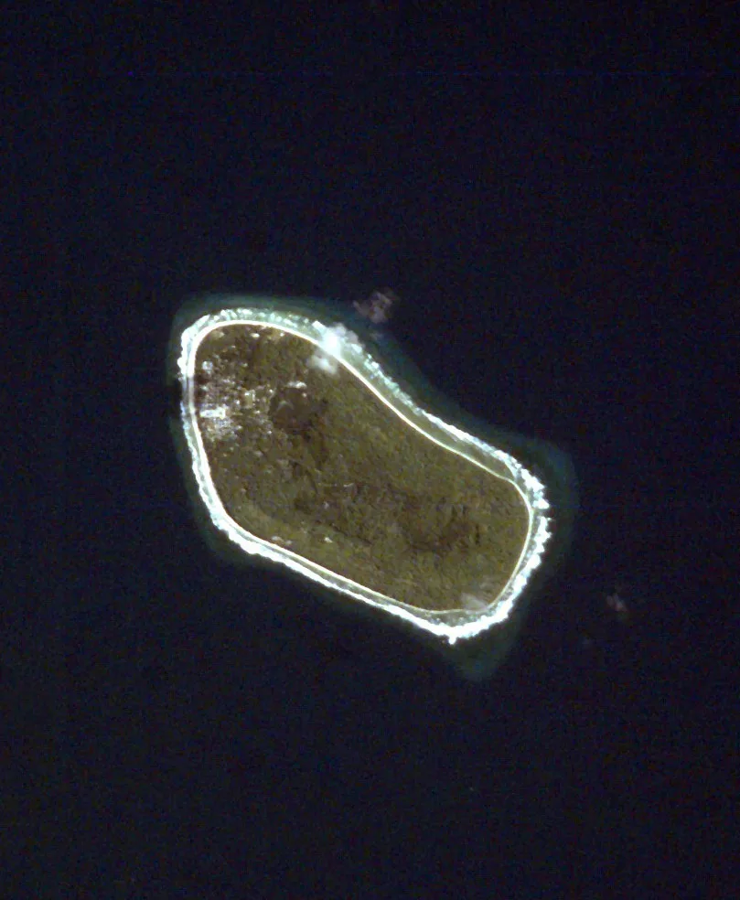
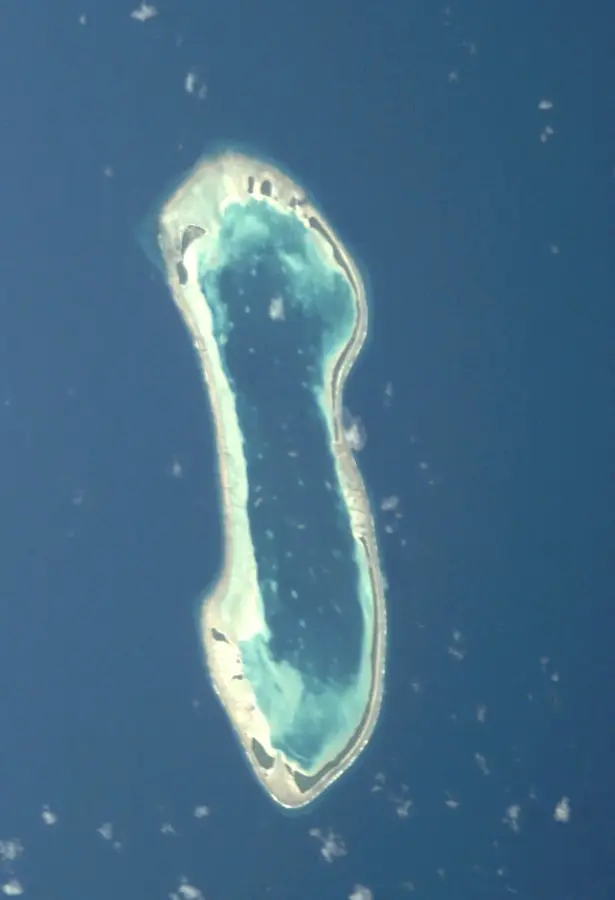
The tropical forest of Niulakita covers the southernmost and smallest inhabited island of Tuvalu, distinguished by its unusually fertile soils. Unlike the sandy, nutrient-poor soils of most other atolls, the rich organic matter here supports a dense growth of breadfruit trees, Pandanus, and towering coconut palms. Niulakita is home to the highest point in the country, at 4.6 meters above sea level, which affords the vegetation better protection from saltwater intrusion. The forest serves as a vital sanctuary for land crabs, particularly the massive Coconut Crab (Birgus latro), which maintains a significant population here. For the island's small community, the forest is the primary source of livelihood, providing essential building materials and food. The dense canopy protects the soil from direct sunlight, helping to retain internal moisture even during dry spells. Ecologists regard Niulakita as one of the best-preserved terrestrial ecosystems in the archipelago. Its extreme remoteness has helped shield the native forest from the full impact of invasive species seen elsewhere.
Explore on the map
How well do you know Tuvalu?
Find cities, landscapes and regions in 10 varied challenges on the interactive map.
Your journey, your memory
A postcard from Niulakita Tropical Forest
Turn your own photo into a personal postcard with a local stamp. Free and no sign-up required.
Create a postcardBest time to visit & climate
The most pleasant time to visit is Jul–Sep.
| Jan | Feb | Mar | Apr | May | Jun | Jul | Aug | Sep | Oct | Nov | Dec | |
|---|---|---|---|---|---|---|---|---|---|---|---|---|
| Avg °C | 29 | 28 | 28 | 28 | 29 | 28 | 28 | 28 | 28 | 28 | 28 | 28 |
| Rain mm | 327 | 300 | 229 | 196 | 176 | 165 | 152 | 132 | 127 | 189 | 250 | 289 |
📋 Practical info
Geography
Facts
- Southernmost island of the Tuvalu archipelago
- Contains the nation's highest point (4.6 meters)
- Unusually fertile soil for breadfruit cultivation
- Significant habitat for the massive Coconut Crab
- Densest forest cover in all of Tuvalu
- Provides natural protection against coastal erosion
Route planner — Car & Motorhome
Where do you start? We build the route here, with stops and country notes along the way.
© OpenStreetMap contributors · OpenRouteService
Sights in the town Niulakita Tropical Forest (1)
Sights nearby
Frequently asked questions
Is the forest developed for tourists?
Do I need a guide?
How is the weather?
What gear do I need?
Is the forest dangerous?
Niulakita Tropical Forest: where is it located?
Niulakita Tropical Forest: when is the best time to visit?
Niulakita Tropical Forest: why is it worth visiting?

Nearby cities

History & landmarks
Nature
More places