Plizio Visual Lab
Chagres River
Weather…
Water temperature…
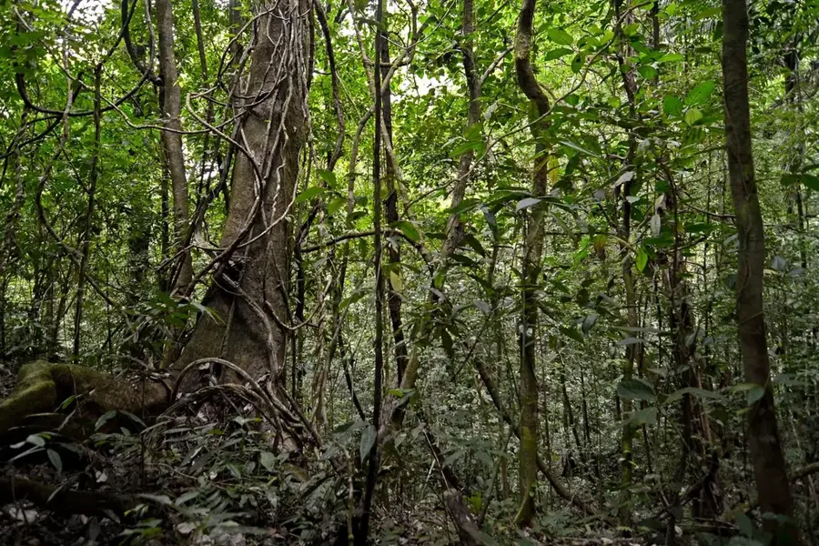
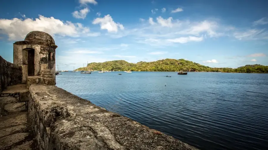
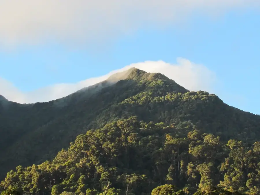
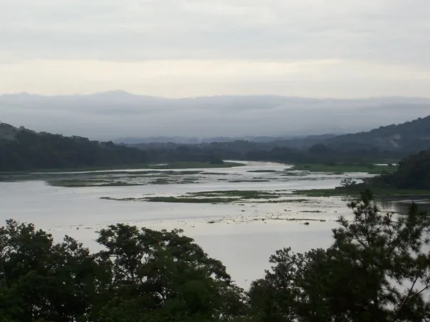
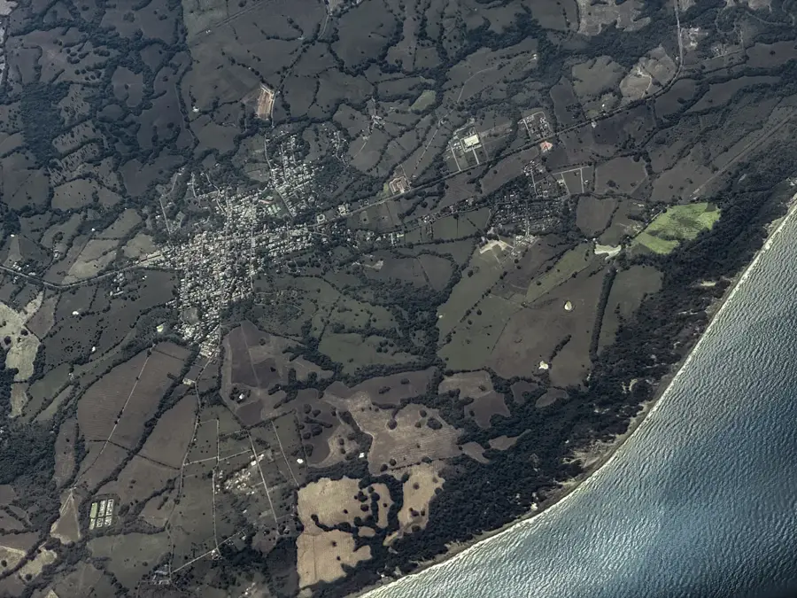
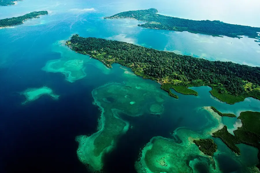
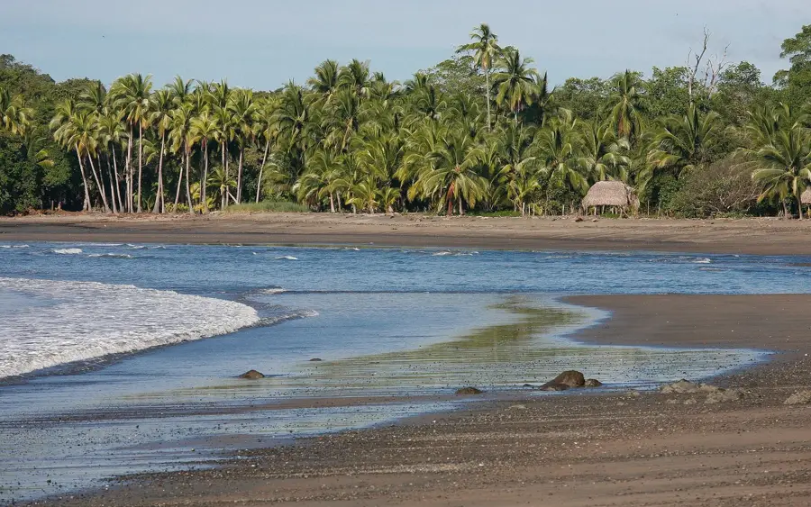
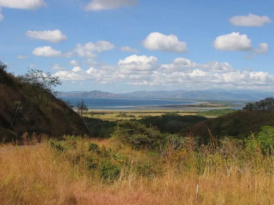
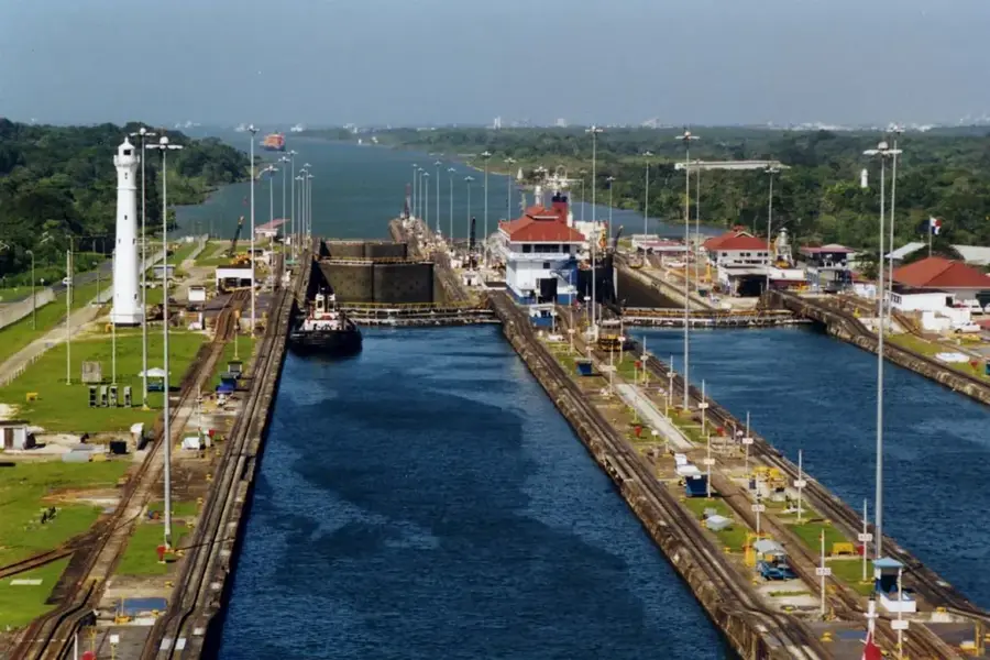
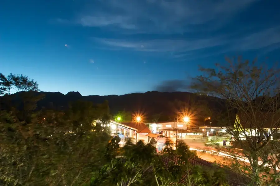
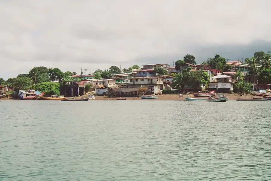
The Chagres River is the most voluminous and strategically vital river in Panama, serving as the primary water source for the operation of the Panama Canal. Originating in the San Blas Mountains, it was dammed in the early 20th century by the construction of the Gatun Dam, creating Gatun Lake, which was the largest man-made lake in the world at the time. Without the massive volumes of water provided by the Chagres, the canal's lock system, which requires millions of liters of fresh water daily, would be unable to function. The river flows through dense tropical rainforest protected within the Chagres National Park to ensure water quality and erosion control. Historically, the river played a key role as early as the 16th century as part of the 'Camino de Cruces,' a transport route for Peruvian gold to the Caribbean coast. Today, the river remains essential not only for navigation but also for hydroelectric power generation and the drinking water supply for Panama City.
- Location: Panama
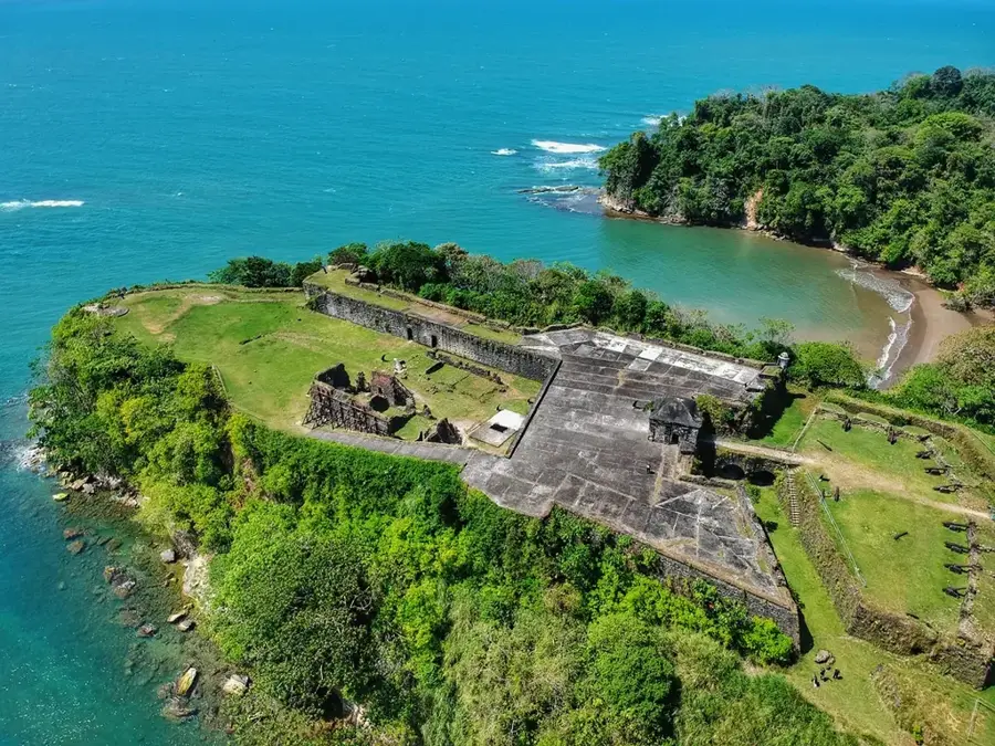
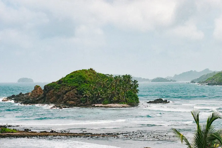
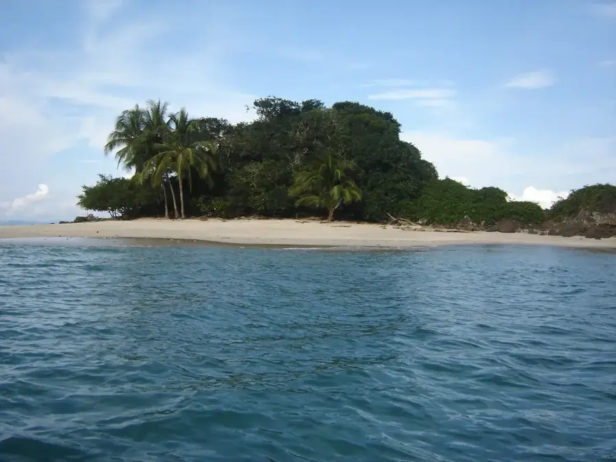
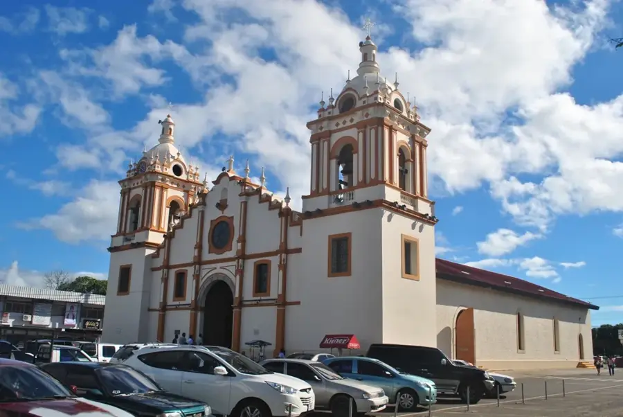
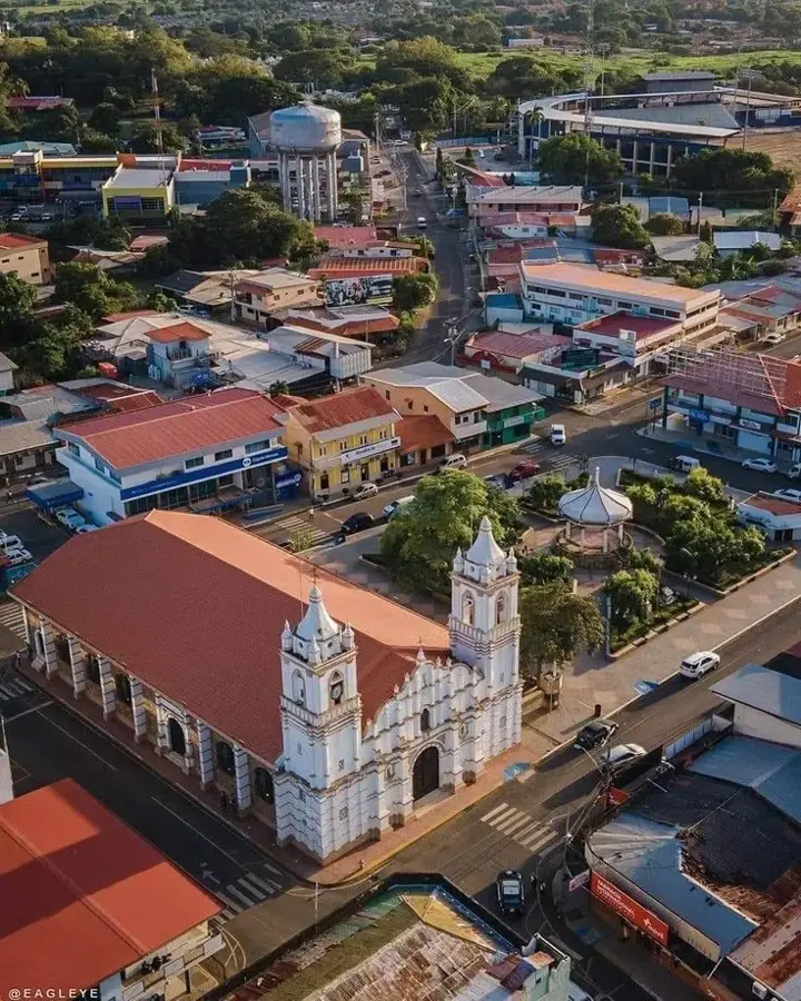
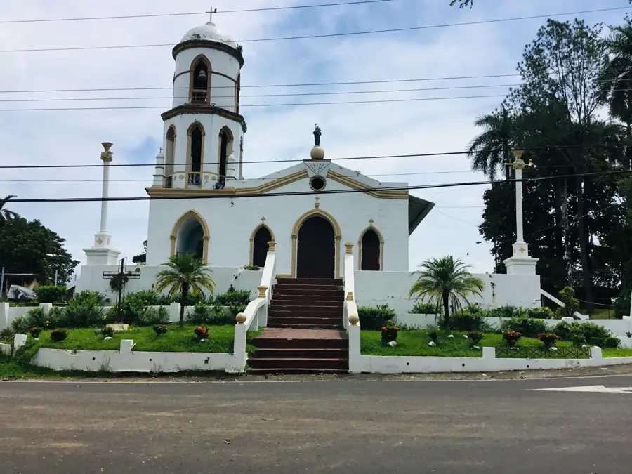
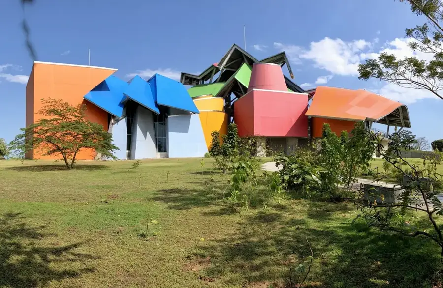
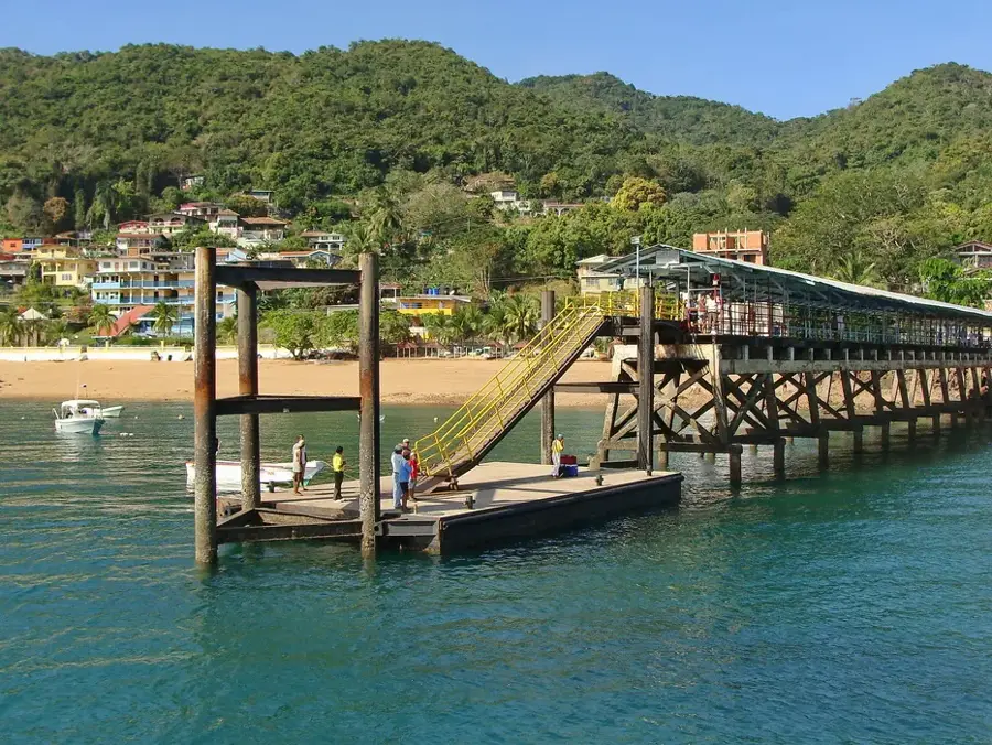
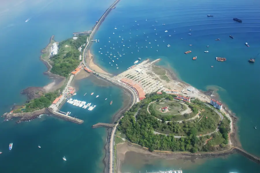
- Top sights: El Valle de la Unión · El Giral · Río Duque
- Nearby: Gamboa (5 km)
Best time to visit & climate
The most pleasant time to visit is Jan–Mar.
| Jan | Feb | Mar | Apr | May | Jun | Jul | Aug | Sep | Oct | Nov | Dec | |
|---|---|---|---|---|---|---|---|---|---|---|---|---|
| Avg °C | 26 | 26 | 27 | 27 | 28 | 27 | 27 | 27 | 27 | 27 | 27 | 27 |
| Rain mm | 30 | 13 | 27 | 115 | 260 | 274 | 241 | 242 | 253 | 270 | 261 | 122 |
📋 Practical info
Geography
Facts
- The river is the essential source of water for the Panama Canal.
- The construction of Gatun Dam created the massive Gatun Lake.
- The river originates in the San Blas mountain range.
- Used since the 16th century to transport gold across the isthmus.
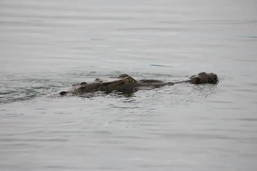
- Its entire watershed is protected by Chagres National Park.
- Provides the majority of drinking water for the nation's capital.
Explore nearby
Notable places around
Route planner — Car & Motorhome
Where do you start? We build the route here, with stops and country notes along the way.
© OpenStreetMap contributors · OpenRouteService
Sights in the town Chagres River (3)
Sights nearby
Frequently asked questions
Can you sail on the Río Chagres?
Is the river suitable for nature lovers?
What is the best time of day?
Do you need a permit?
How is the weather?
Chagres River: where is it located?
Chagres River: what is there to see?
Chagres River: when is the best time to visit?
Chagres River: why is it worth visiting?

Nearby cities
History & landmarks
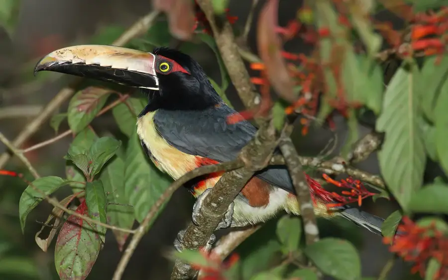
Nature
More places