Plizio Visual Lab
Fort San Lorenzo
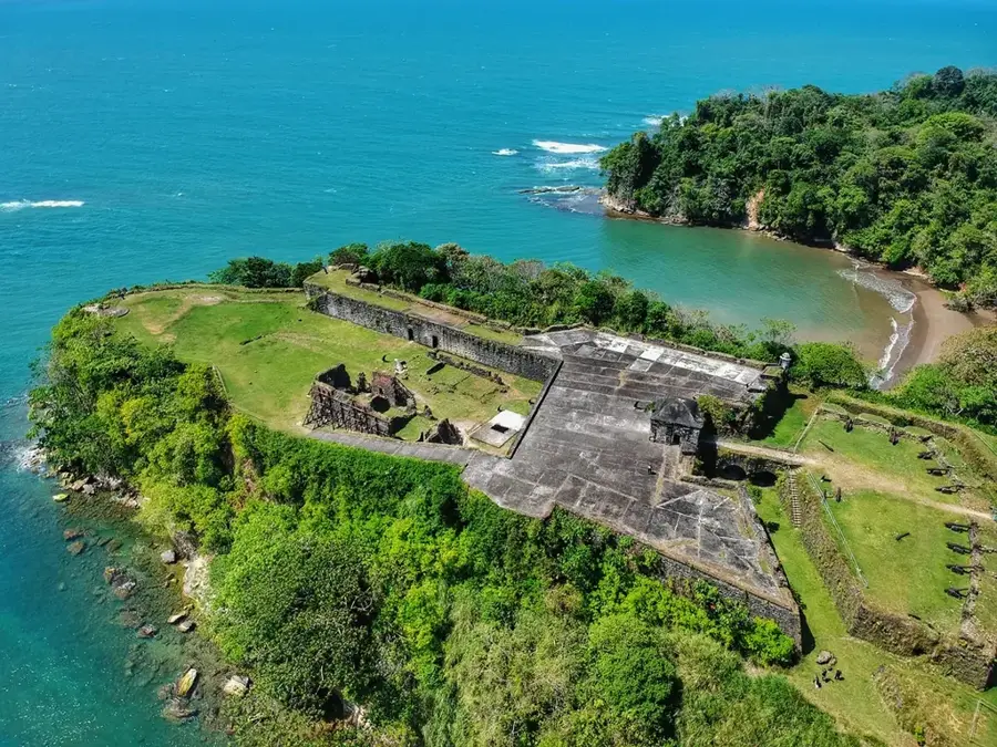
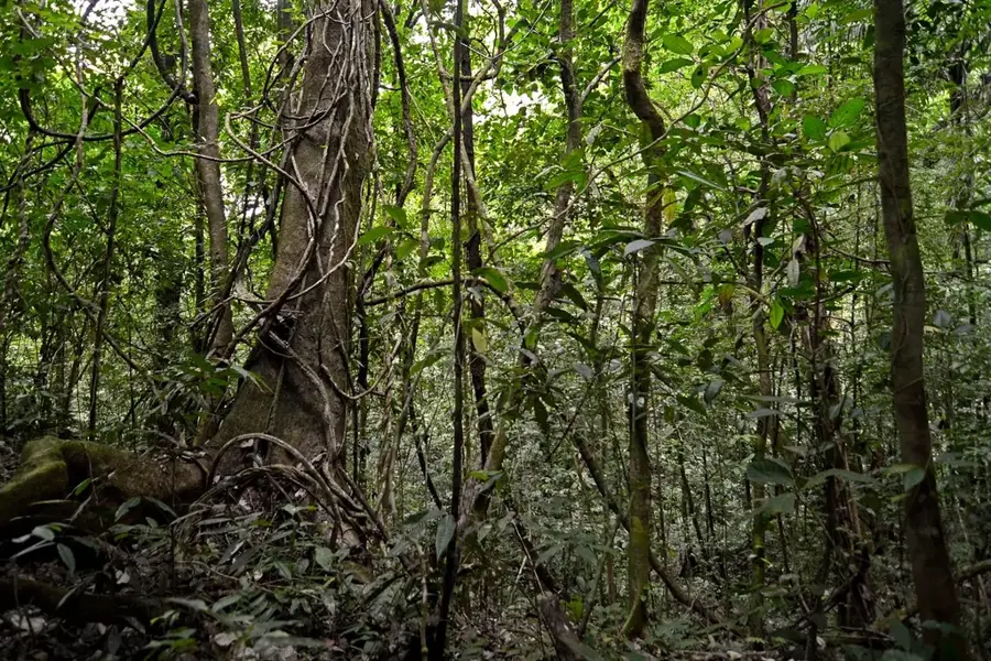
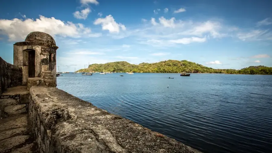
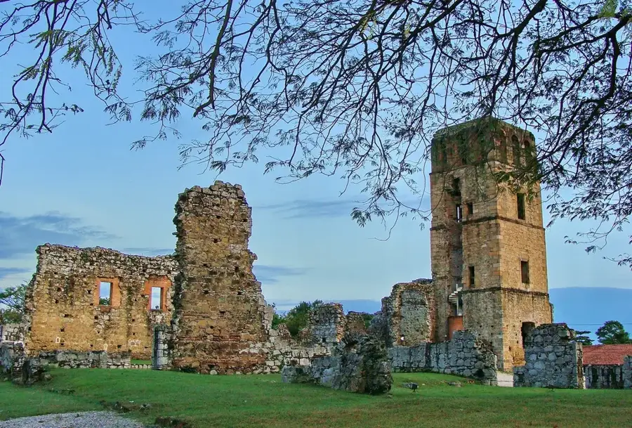
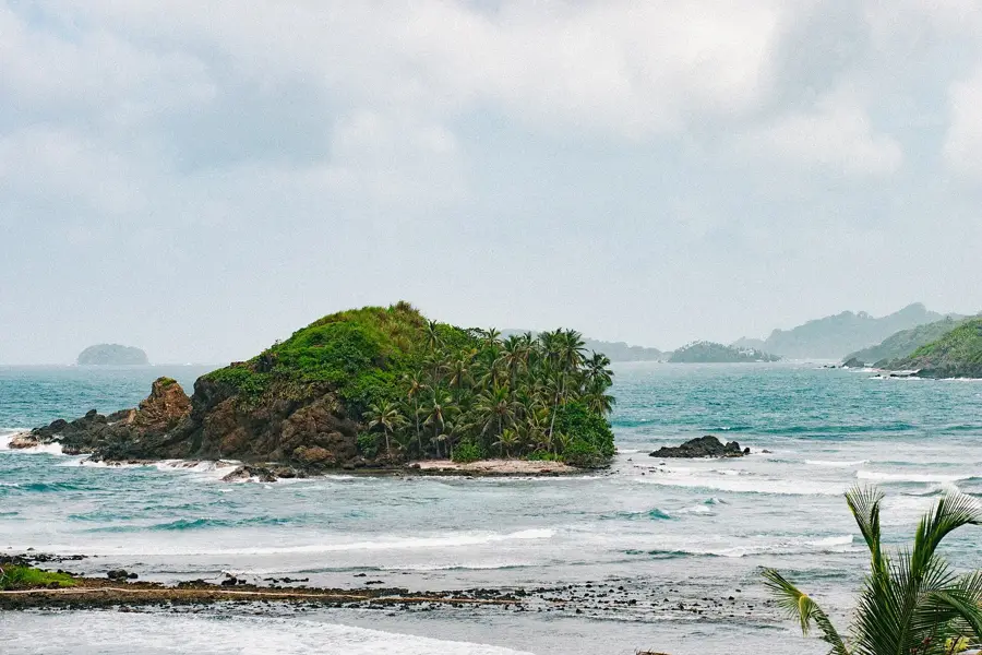
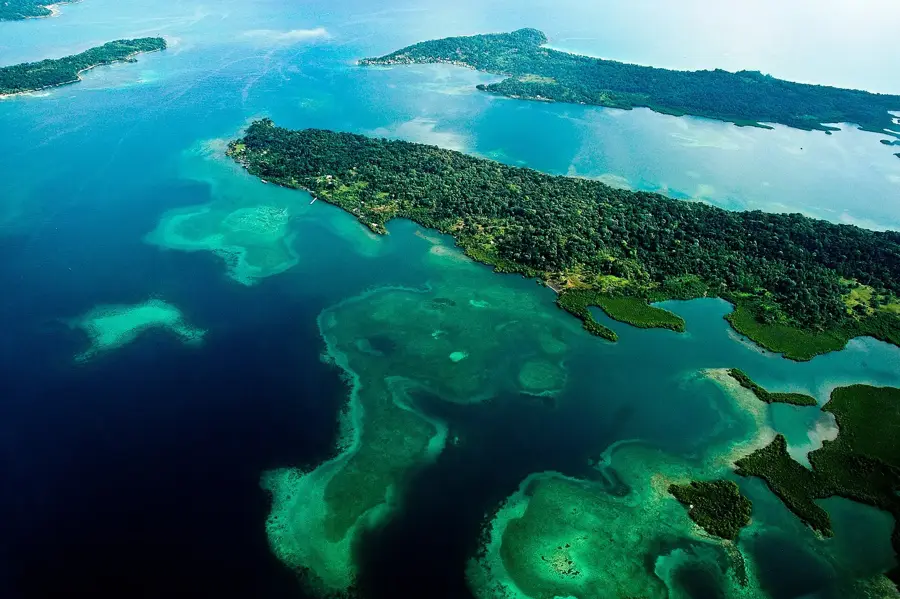
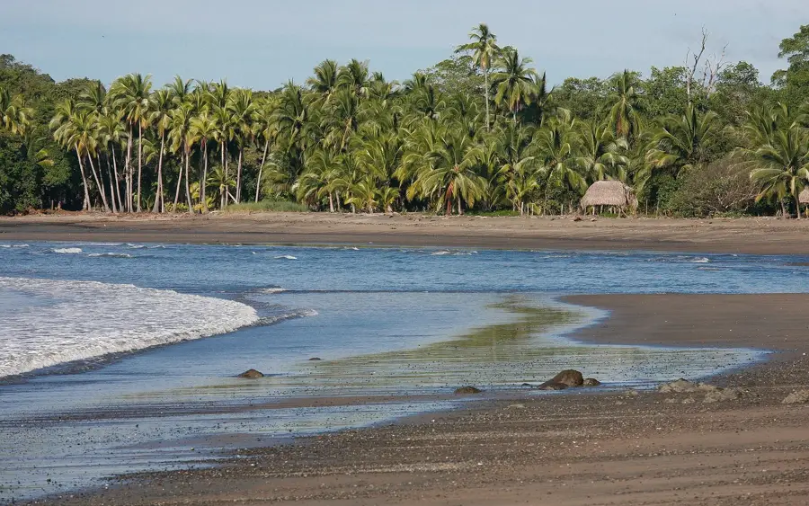
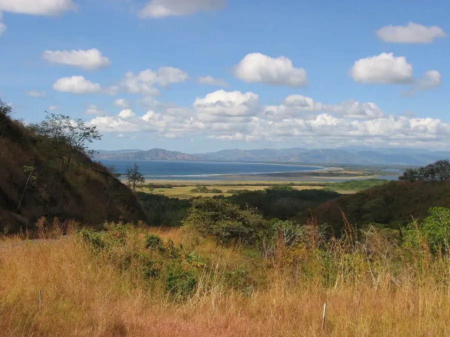
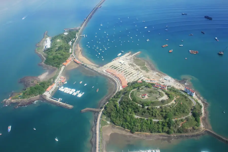
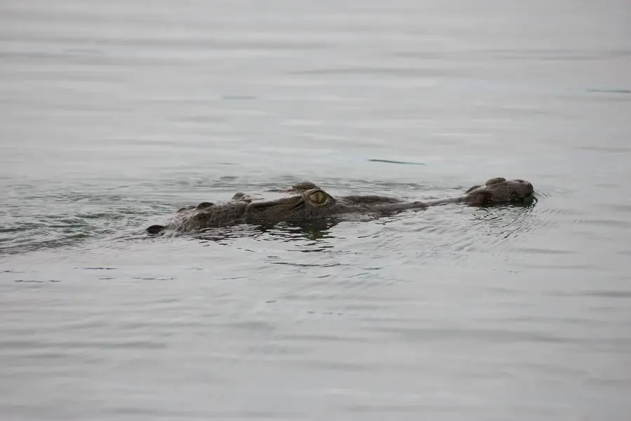
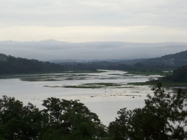
Fort San Lorenzo is strategically positioned on a cliff overlooking the mouth of the Chagres River on the Caribbean coast, serving as one of Spain's most vital defensive bastions in the New World. Construction of the original fort began in 1597 under King Philip II to control the primary river route used to transport gold and silver across the isthmus to Panama City. Throughout the centuries, the fort was destroyed and rebuilt multiple times, most famously during an attack by the pirate Henry Morgan in 1671, just prior to his sacking of Old Panama City. Most of the ruins seen today date back to the 18th century and provide a fascinating look at colonial military engineering, featuring cannon batteries, underground vaults, and thick walls made of coral stone. Designated a UNESCO World Heritage site in 1980, San Lorenzo is surrounded by the San Lorenzo National Park, a lush rainforest area home to diverse wildlife that provides a dramatic natural backdrop to the historic stone remains.
- Location: Panama
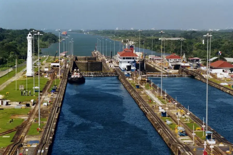
- Top sights: Chagres River · Chagres and Fort San Lorenzo
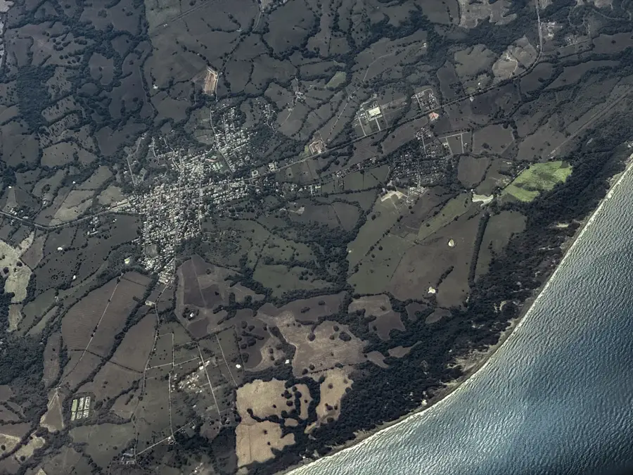
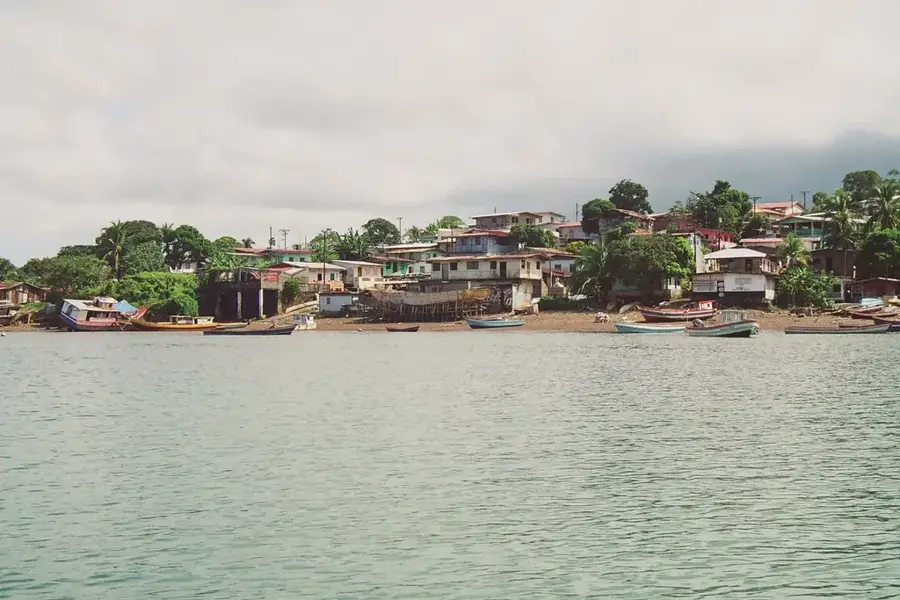
- Nearby: Palmas Bellas (6 km)
Best time to visit & climate
The most pleasant time to visit is Jan–Mar.
| Jan | Feb | Mar | Apr | May | Jun | Jul | Aug | Sep | Oct | Nov | Dec | |
|---|---|---|---|---|---|---|---|---|---|---|---|---|
| Avg °C | 27 | 27 | 27 | 28 | 28 | 28 | 27 | 27 | 28 | 27 | 27 | 27 |
| Rain mm | 31 | 11 | 21 | 96 | 269 | 285 | 284 | 275 | 269 | 280 | 272 | 120 |
📋 Practical info
History & landmarks
Colonial
1595
Geography
Facts
- Construction began in 1597
- UNESCO World Heritage site since 1980
- Guarded the entrance to the Chagres River
- Destroyed by Henry Morgan in 1671
- Walls constructed from coral blocks
- Part of a 12,000-hectare national park
Explore nearby
Notable places around
Route planner — Car & Motorhome
Where do you start? We build the route here, with stops and country notes along the way.
© OpenStreetMap contributors · OpenRouteService
Sights in the town Fort San Lorenzo (2)
Sights nearby
Frequently asked questions
When is Fort San Lorenzo open?
Is there an entrance fee for the fort?
Is the fort accessible for people with disabilities?
Am I allowed to take photos in the fort?
How much time should I plan for the visit?
Fort San Lorenzo: where is it located?
Fort San Lorenzo: what is there to see?
Fort San Lorenzo: when is the best time to visit?
Fort San Lorenzo: why is it worth visiting?

Nearby cities
History & landmarks
Nature
More places