Plizio Visual Lab
Fuerte de Matachín
Weather…
Water temperature…
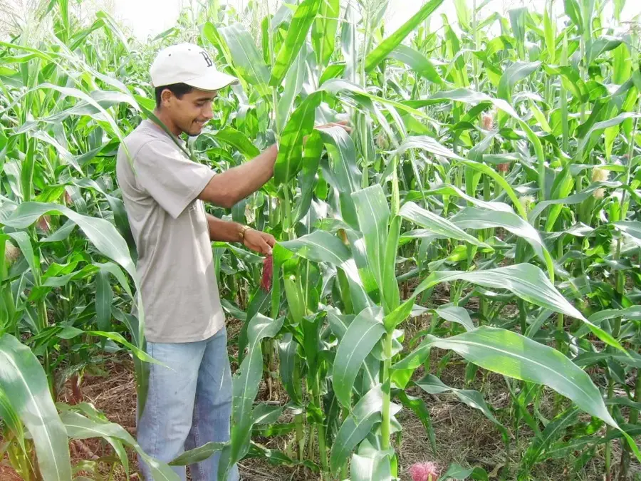
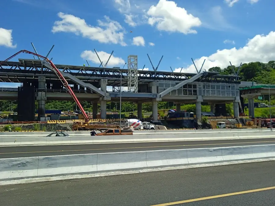
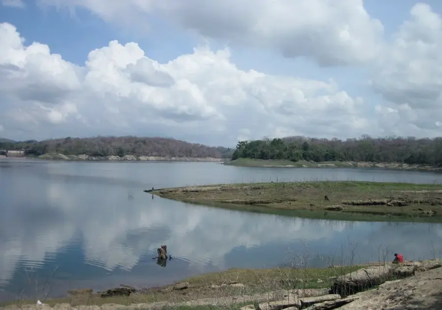
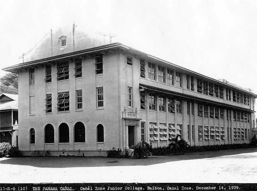
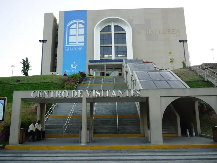
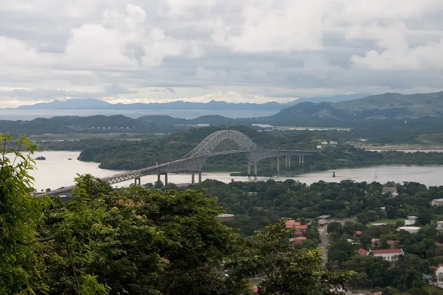
Fort Matachin is a lesser-known but historically significant defensive site located near the town of Gamboa, along the banks of the Chagres River. During the colonial era, it served as a riverine outpost to monitor and protect the transit of silver and gold along the 'Las Cruces' trail. The fort was essential for securing the waterway, which was the primary route for transporting goods across the isthmus. Later, during the 19th-century railroad and canal construction, the area became a major camp for workers. The ruins of Matachin offer a glimpse into the river-based logistics and security that were vital to Panama's role as a global crossroads long before the modern canal was built.
- Location: Panama
- Nearby: Juan Demóstenes Arosemena (6 km)
Best time to visit & climate
The most pleasant time to visit is Jan–Mar.
| Jan | Feb | Mar | Apr | May | Jun | Jul | Aug | Sep | Oct | Nov | Dec | |
|---|---|---|---|---|---|---|---|---|---|---|---|---|
| Avg °C | 27 | 27 | 28 | 28 | 28 | 27 | 27 | 27 | 27 | 27 | 27 | 27 |
| Rain mm | 20 | 9 | 18 | 107 | 245 | 253 | 204 | 220 | 245 | 260 | 248 | 108 |
📋 Practical info
Geography
Facts
- Strategically located at a bend in the Chagres River.
- Guarded the river segment of the 'Camino de Cruces'.
- Named after the 'Matachines', a group of colonial soldiers or dancers.
- The site was submerged or altered during the creation of Gatun Lake.
- A key point for the transport of treasures from Peru.
- Later served as a logistics base for the French Canal project.
- Significant archaeological site for understanding riverine life.
- Reflects the multiple layers of Panama's transit history.
Explore nearby
Notable places around
Route planner — Car & Motorhome
Where do you start? We build the route here, with stops and country notes along the way.
© OpenStreetMap contributors · OpenRouteService
Sights nearby
Frequently asked questions
What is Fuerte de Matachín?
Are there guided tours?
Is admission free?
When is the best time?
Is it accessible?
Fuerte de Matachín: where is it located?
Fuerte de Matachín: when is the best time to visit?
Fuerte de Matachín: why is it worth visiting?

Nearby cities


History & landmarks

More places