Plizio Visual Lab
Sierra de Dipilto

Weather…
Water temperature…
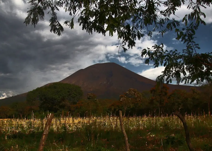
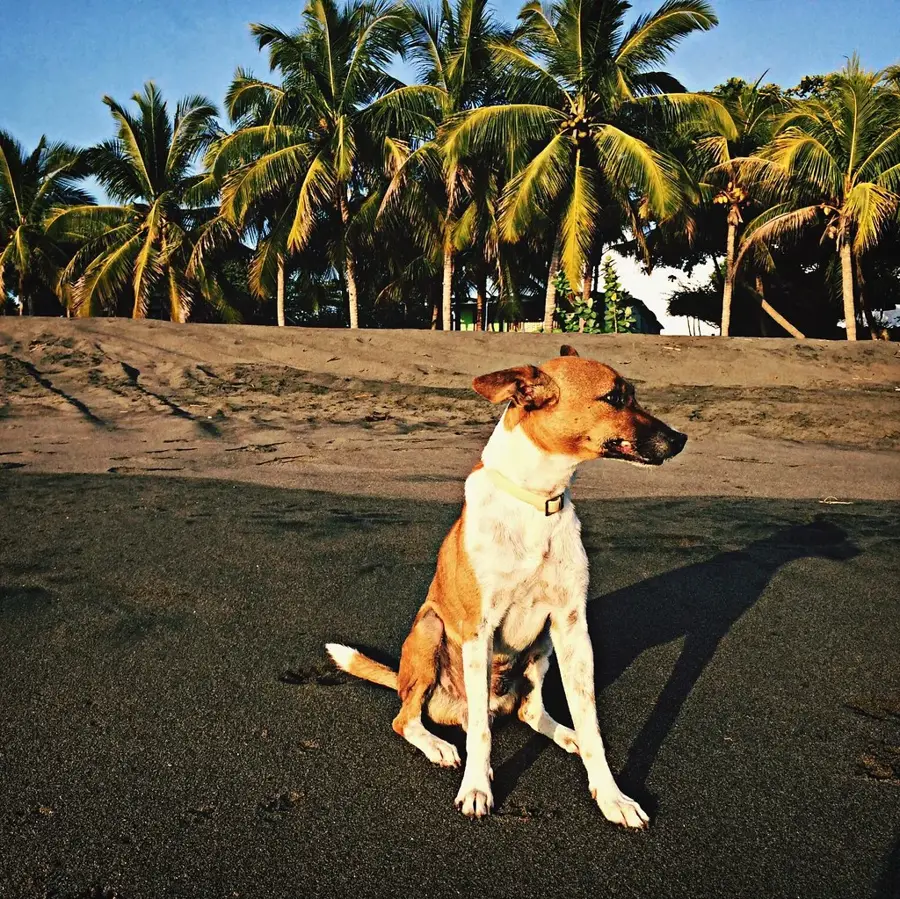
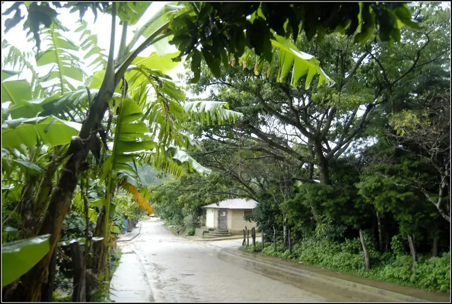
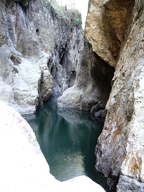
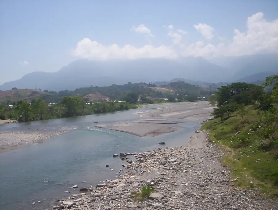
The Sierra de Dipilto is a prominent mountain range forming the natural border between Honduras and Nicaragua in the El Paraíso department. Reaching elevations over 2,000 meters, the range is famous for its vast, cool pine forests and high biodiversity. This region is one of Central America's premier coffee-growing areas, where mineral-rich soils and a unique microclimate produce world-class specialty beans. Geographically, the sierra is defined by steep slopes and deeply incised valleys that birth numerous mountain streams. The crisp air and frequent cloud cover at higher altitudes create a mystical and refreshing environment. History: Historically a key corridor for trade and migration between the two nations, the range is now part of binational conservation efforts to protect its unique highland ecosystems.
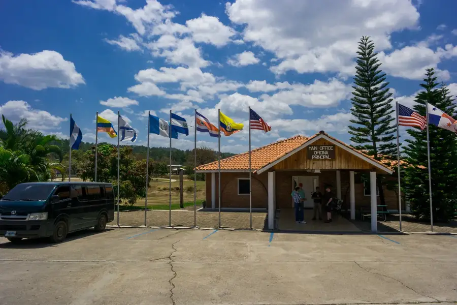
- Location: Honduras
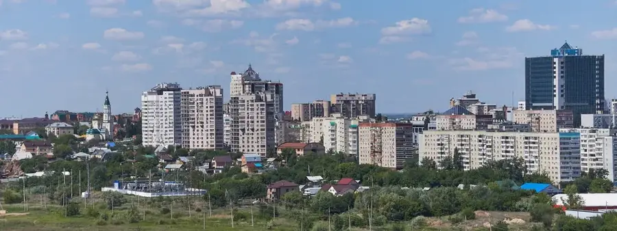
- Nearby: San Marcos de Colón (6 km)
Best time to visit & climate
The most pleasant time to visit is Jan, Feb, Dec.
| Jan | Feb | Mar | Apr | May | Jun | Jul | Aug | Sep | Oct | Nov | Dec | |
|---|---|---|---|---|---|---|---|---|---|---|---|---|
| Avg °C | 21 | 23 | 24 | 26 | 25 | 23 | 23 | 23 | 23 | 22 | 21 | 21 |
| Rain mm | 12 | 11 | 12 | 40 | 161 | 197 | 106 | 128 | 190 | 179 | 48 | 38 |
📋 Practical info
Geography
Facts
- Forms the natural boundary with Nicaragua.
- Renowned for producing world-class specialty coffee.
- Dominated by vast, high-altitude pine forests.
- Highest peak on the Nicaraguan side is Mogotón.
- Subject of binational environmental protection efforts.
- Sanctuary for rare birds like the Resplendent Quetzal.
Explore nearby
Notable places around
Route planner — Car & Motorhome
Where do you start? We build the route here, with stops and country notes along the way.
© OpenStreetMap contributors · OpenRouteService
Sights nearby
Frequently asked questions
What is the Sierra de Dipilto known for?
Can you visit coffee farms in the region?
How high are the peaks in this range?
Are there marked hiking trails?
What is the weather like in the Sierra de Dipilto?
Sierra de Dipilto: where is it located?
Sierra de Dipilto: when is the best time to visit?
Sierra de Dipilto: why is it worth visiting?

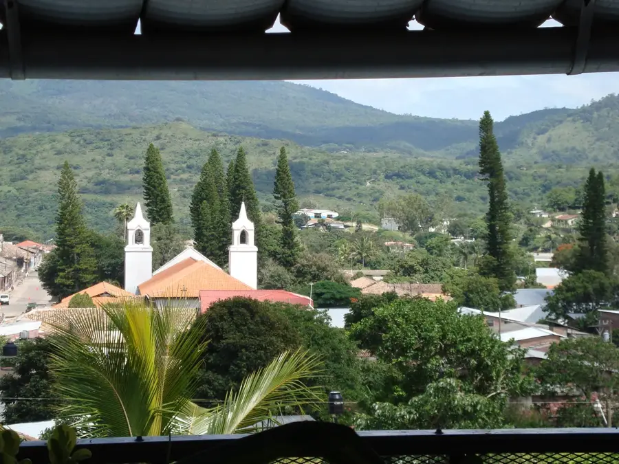
Nearby cities
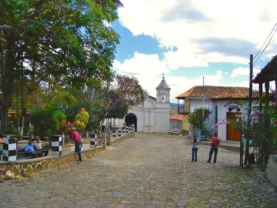
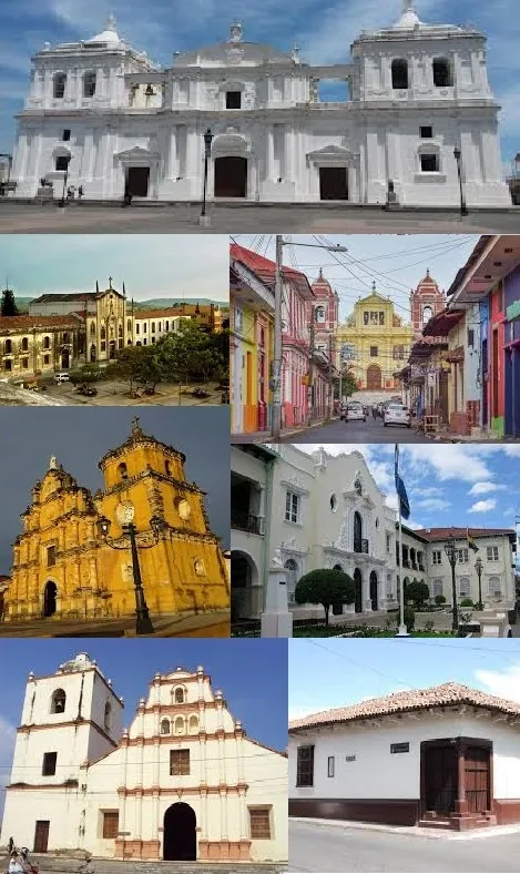
History & landmarks
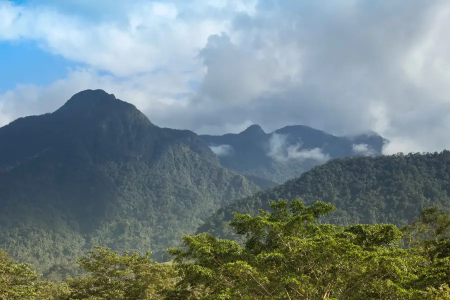
Nature
More places