Plizio Visual Lab
San Marcos de Colón
ℹ️Practical info — San Marcos de Colón
▾
🌤 Weather — 5 days
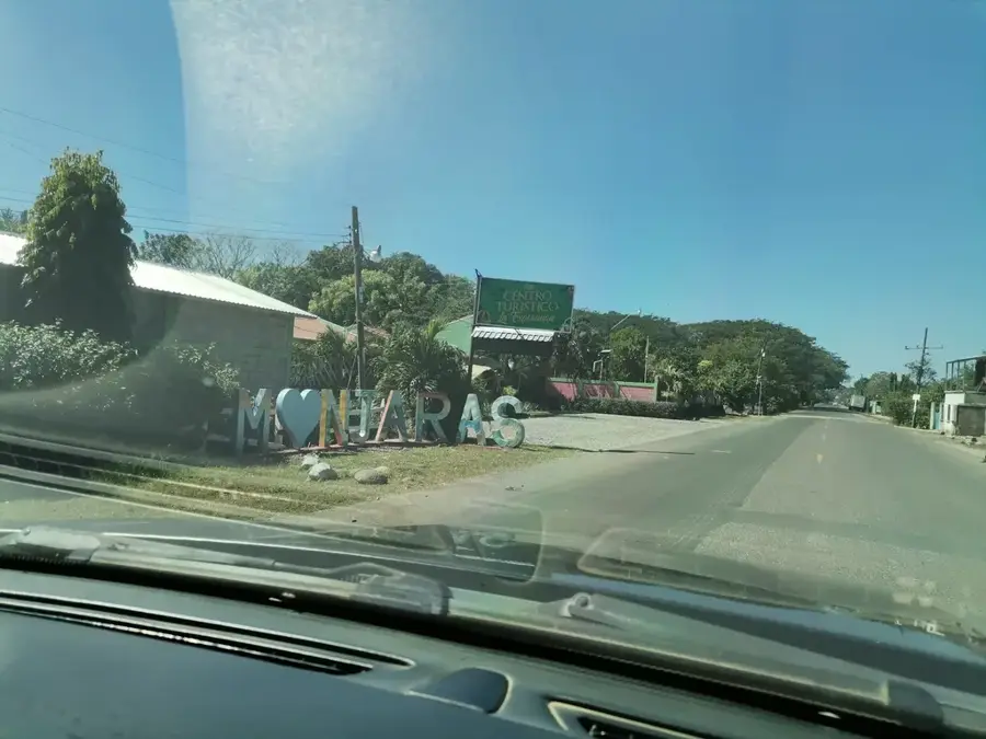
📍 Nearby
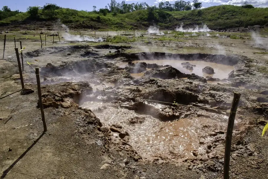
Sights nearby
💡 Tips
- Known as the 'Oasis of the South', it has a surprisingly cool and breezy climate despite its southern location.
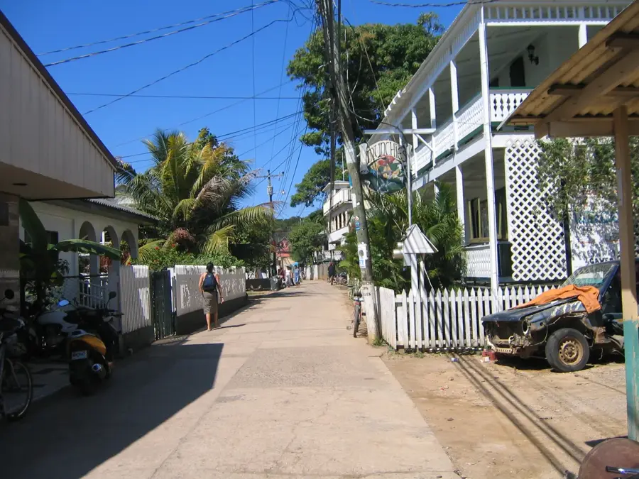
- It is a very clean and safe town, great for relaxed evening strolls around the center.
- Situated close to the Nicaraguan border, it is a convenient and pleasant stop for cross-border travelers.
- The region is famous for its cattle, meaning local beef and dairy products are of exceptional quality.
🍽 Food
Top-quality fresh cheeses; buy them from local dairy vendors or small morning markets.
Excellent local beef grilled to perfection, found at specialized steakhouses around town.
A sweet, refreshing rice and spice drink often served in traditional local eateries.
🛍 Shopping · 🧘 Quiet spots
The town is renowned for its handcrafted leather goods, including belts and boots.
The great place to buy vacuum-sealed local cheeses to take home.
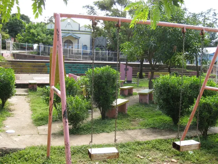
The beautifully maintained central park is handy for sitting and relaxing in the shade.
Take a walk along the trails just outside the urban area to enjoy the peaceful, pine-scented breeze.
Water temperature…
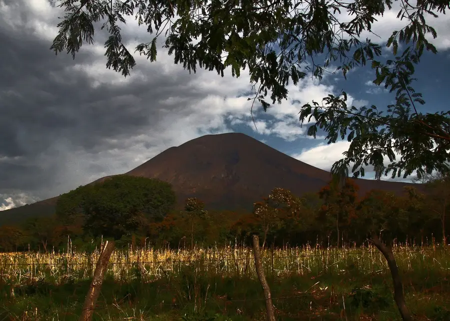
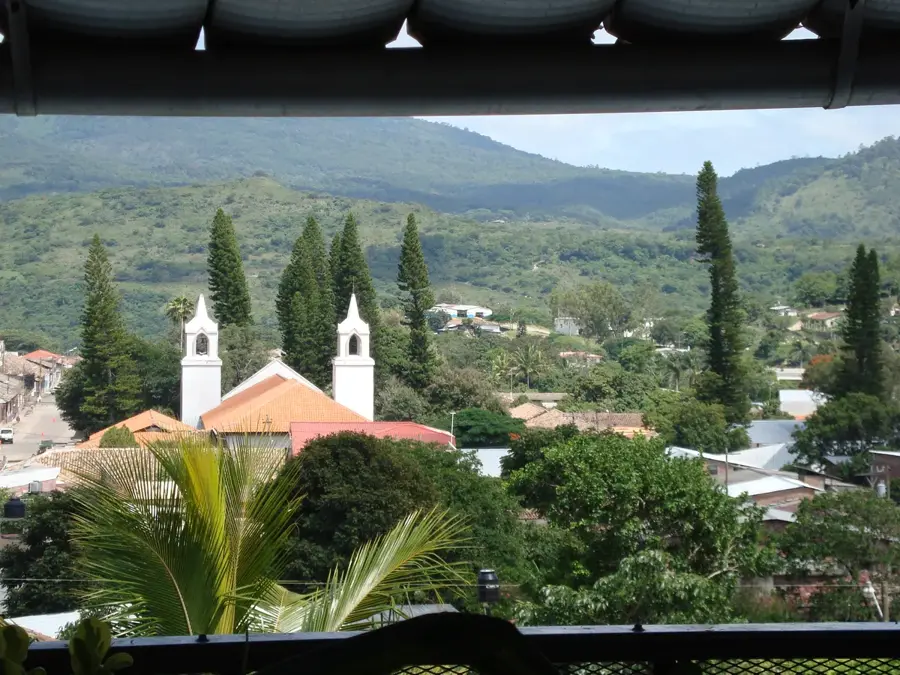
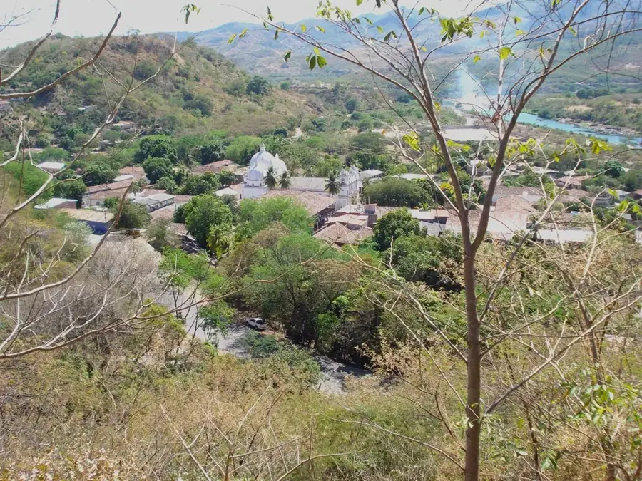
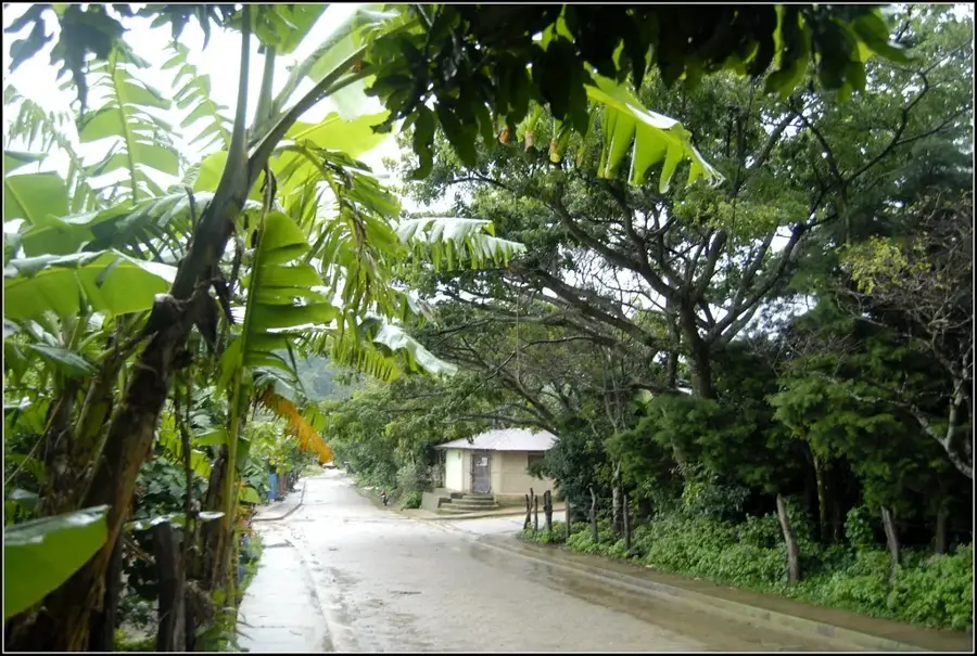
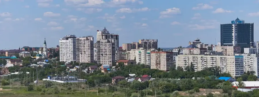
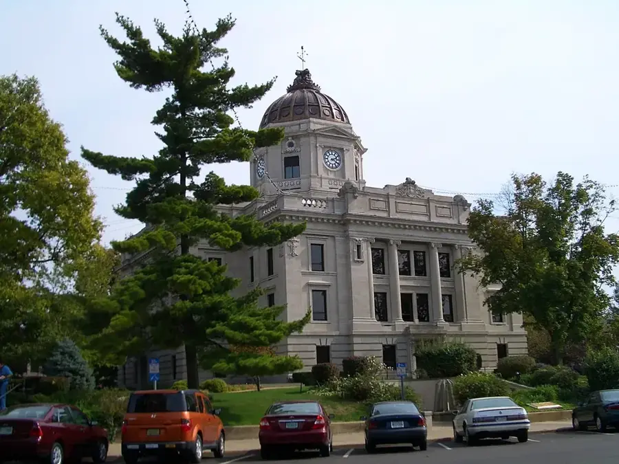
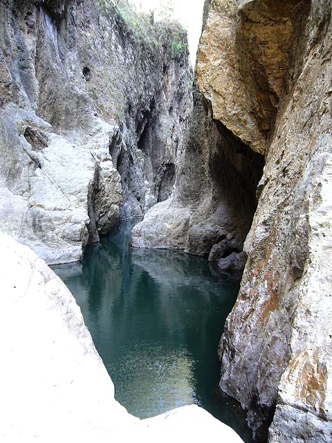
San Marcos de Colón is a highland town in Choluteca Department in southern Honduras that stands out for its unusually cool climate. It sits at around 950 m elevation in a mountainous area close to the Nicaraguan border, in sharp contrast to the hot lowland municipalities further south. The town is known for high-quality coffee grown on the slopes of the Sierra de la Botija, as well as for its dairy industry, cheese production and horse trade. The El Jicarito wildlife reserve, a protected zone for mountain vegetation and fauna, lies directly on the slopes above the town. Its center is shaped by colonial houses, a central plaza and a busy weekly market. San Marcos de Colón is considered the most important highland economic base of the Choluteca region.
- Location: Honduras
- Nearby: Guaimaca (7 km)
- Population: ~8.821 (2024)
Best time to visit & climate
The most pleasant time to visit is Jan, Nov, Dec.
| Jan | Feb | Mar | Apr | May | Jun | Jul | Aug | Sep | Oct | Nov | Dec | |
|---|---|---|---|---|---|---|---|---|---|---|---|---|
| Avg °C | 24 | 25 | 27 | 28 | 26 | 24 | 25 | 25 | 24 | 23 | 23 | 23 |
| Rain mm | 5 | 5 | 9 | 39 | 187 | 216 | 104 | 142 | 240 | 226 | 40 | 25 |
Geography
Facts
- Border with Nicaragua
- Coffee production
- Dairy industry
- Pleasant climate
Explore nearby
Notable places around
Route planner — Car & Motorhome
Where do you start? We build the route here, with stops and country notes along the way.
© OpenStreetMap contributors · OpenRouteService
Frequently asked questions
Why is it called the 'City of Eternal Spring'?
Are there nature reserves there?
What is the economic base?
How far is the border with Nicaragua?
What can you buy as a souvenir?
San Marcos de Colón: where is it located?
San Marcos de Colón: when is the best time to visit?
San Marcos de Colón: why is it worth visiting?

Nearby cities
History & landmarks

Nature
More places