Plizio Visual Lab
Cinco Pinos
ℹ️Practical info — Cinco Pinos
▾
🌤 Weather — 5 days
📍 Nearby
Sights nearby
💡 Tips
- The mountain air can be cooler than the coastal plains, so bring a light jacket for the evening.
- Renting a 4x4 or high-clearance vehicle is recommended if you plan to explore rural roads.
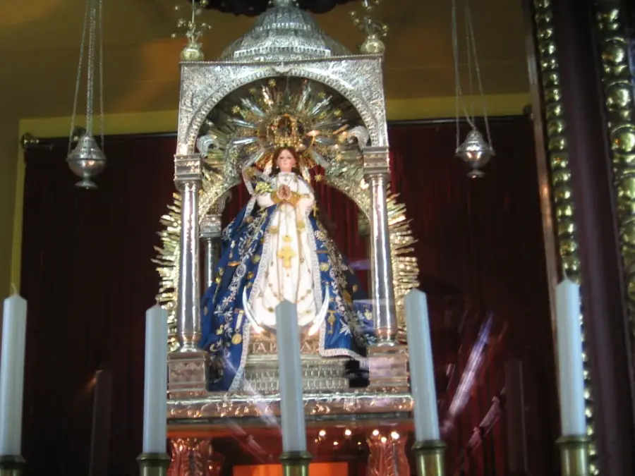
- Visit during the patron saint festivities around May for traditional music and local rodeos.
- Mobile signal may be spotty; download maps of the Chinandega region offline before arriving.
- Try to connect with local guides if you wish to hike the nearby pine-covered hills.
🍽 Food
Traditional maize dough filled with meat and vegetables, sold by local vendors on weekends.
Fresh farm cheese served with warm corn tortillas at simple eateries.
Ask at the small shops or from local farmers.
🛍 Shopping · 🧘 Quiet spots
Traditional baked corn rings, great as a snack.
Buy fresh cheese and crema from village markets.
A scenic, quiet spot offering views of the surrounding mountains.
Enjoy a tranquil walk away from the village center.
Water temperature…
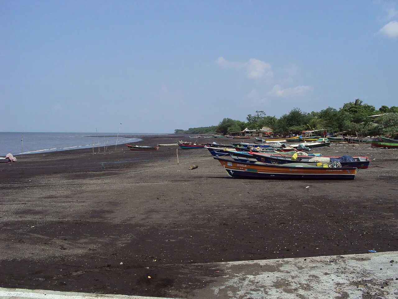
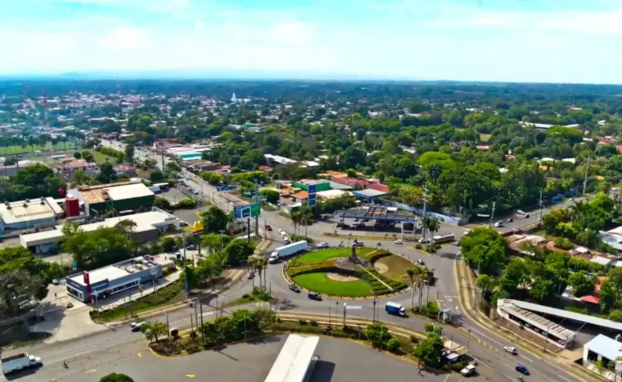
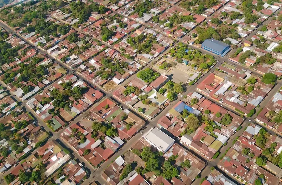
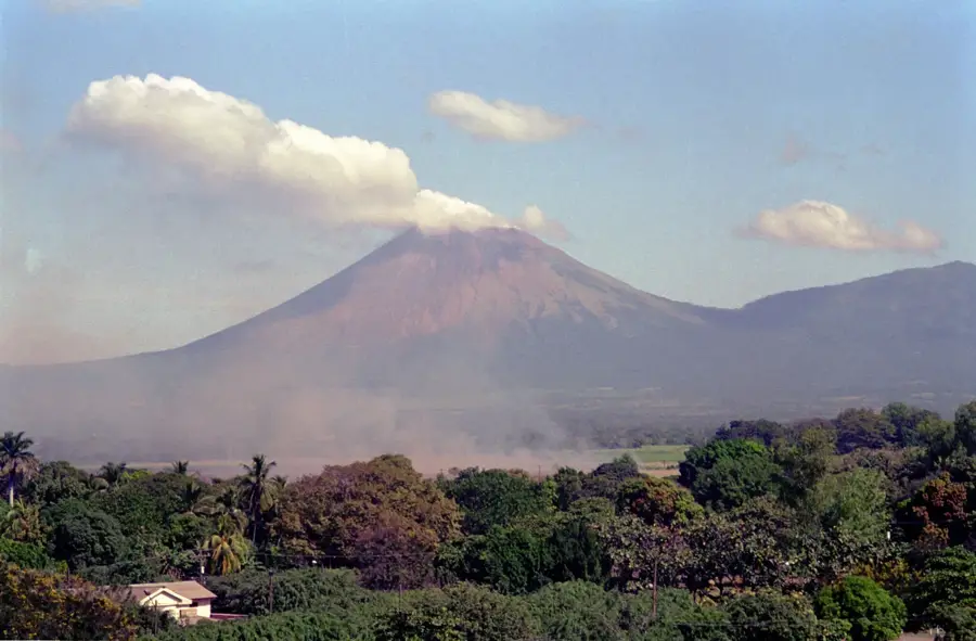
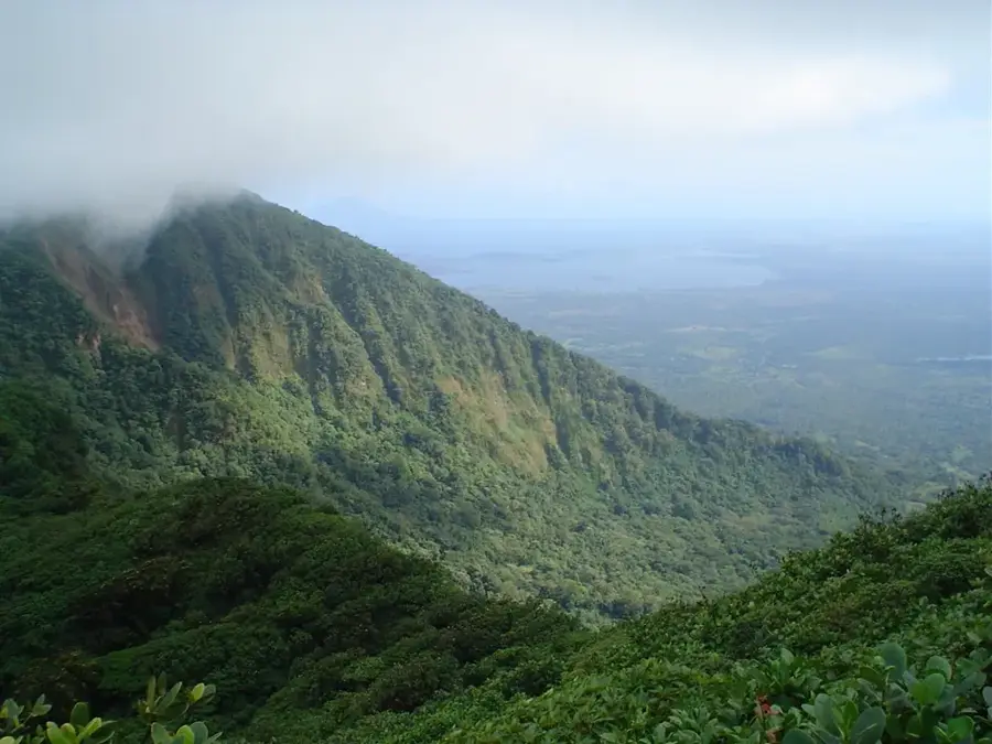
Cinco Pinos is an easy on the eye municipality in the north of the Chinandega department, located near the border with Honduras. Founded in 1896, the town owes its name to five prominent pine trees that once characterized the urban landscape. The geography is marked by a hilly to mountainous topography, attributed to the foothills of the San Cristóbal-Casita mountain range. Due to its elevation, Cinco Pinos enjoys a more pleasant and cooler climate than the hot plains of the Pacific coast. The economy is primarily determined by agriculture, with the cultivation of coffee, corn, and beans, as well as livestock farming, being the main sources of income. The municipality is known for its hospitality and its quiet, rural atmosphere. In recent years, the town has become a starting point for cross-border tourism and nature explorations in the surrounding forests.
- Location: Nicaragua
- Nearby: León (5 km)
- Population: ~784 (2026)
Best time to visit & climate
The most pleasant time to visit is Jan, Nov, Dec.
| Jan | Feb | Mar | Apr | May | Jun | Jul | Aug | Sep | Oct | Nov | Dec | |
|---|---|---|---|---|---|---|---|---|---|---|---|---|
| Avg °C | 27 | 28 | 30 | 30 | 29 | 27 | 27 | 28 | 27 | 26 | 25 | 26 |
| Rain mm | 2 | 3 | 9 | 37 | 201 | 222 | 105 | 155 | 277 | 260 | 41 | 15 |
Geography
Facts
- Cinco Pinos was established as an independent municipality on July 4, 1896.
- The town sits at an elevation of approximately 400 meters above sea level.
- The distance to the provincial capital, Chinandega, is about 95 kilometers.
- Coffee from Cinco Pinos is valued for its mild aroma.
- The climate is subtropical with an average temperature of 23 degrees Celsius.
- The border with Honduras is only about 10 kilometers north of the town.
Explore nearby
Notable places around
Route planner — Car & Motorhome
Where do you start? We build the route here, with stops and country notes along the way.
© OpenStreetMap contributors · OpenRouteService
Frequently asked questions
How much time to plan for Cinco Pinos?
When is the best time for a visit?
Is Cinco Pinos suitable for families?
How do I get there?
What is special?
Cinco Pinos: where is it located?
Cinco Pinos: when is the best time to visit?
Cinco Pinos: why is it worth visiting?

Nearby cities

Nature
More places