Plizio Visual Lab
Prinzapolka River
Weather…
Water temperature…
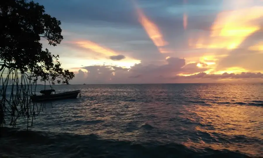
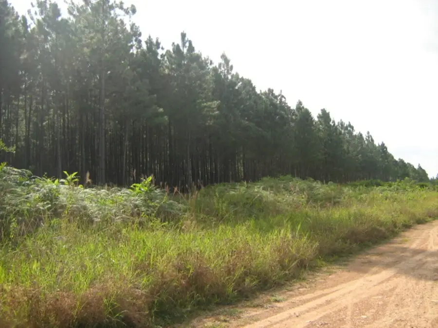
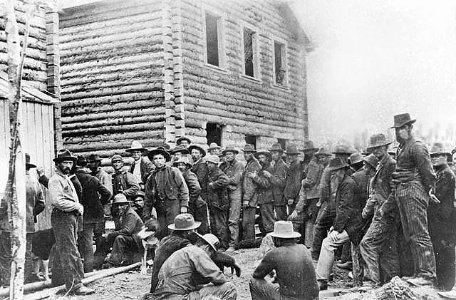
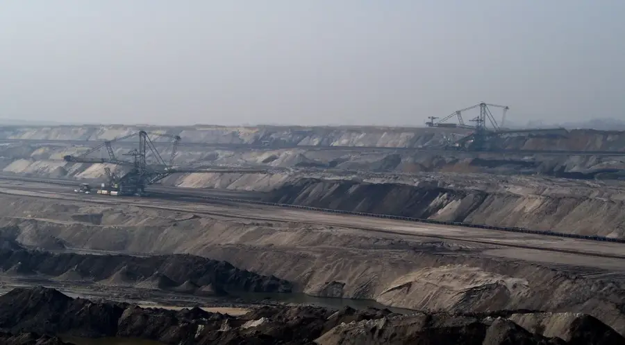
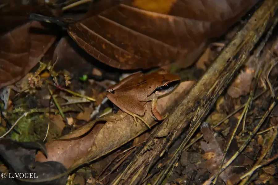
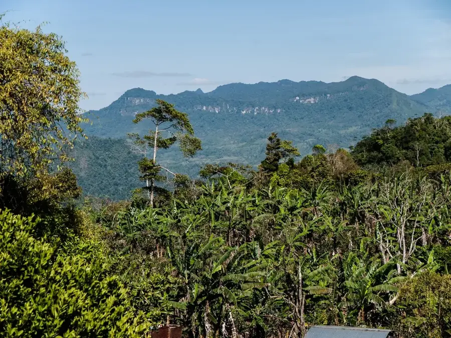
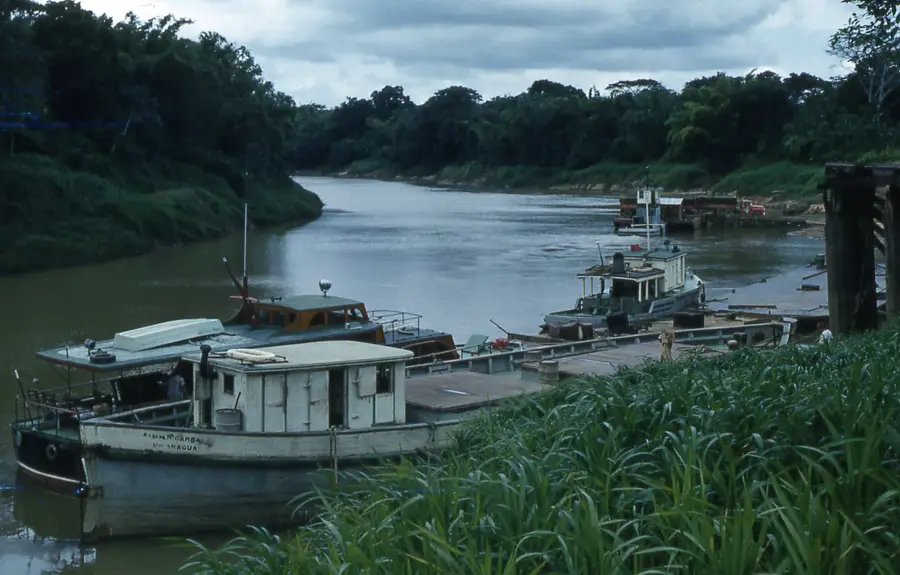
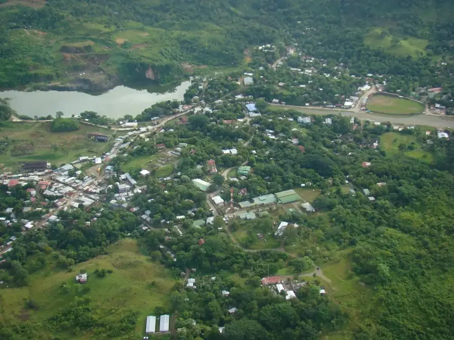
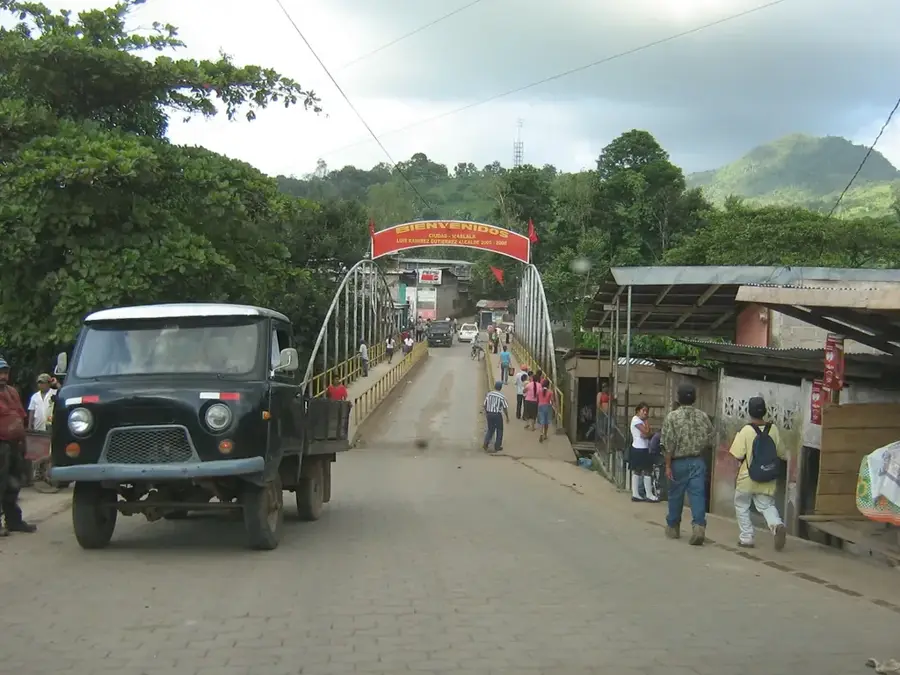
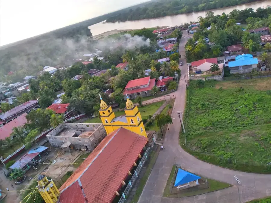
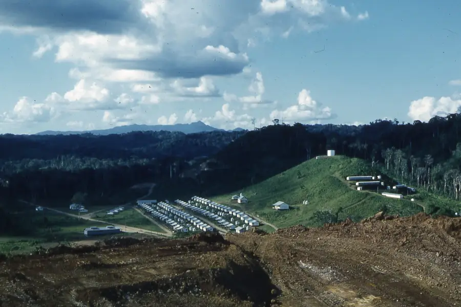
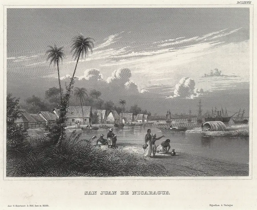
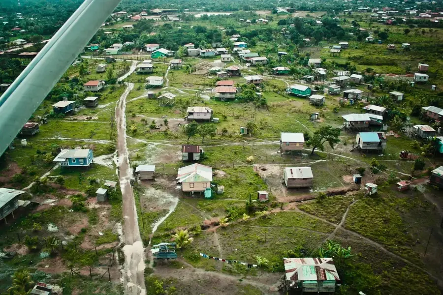
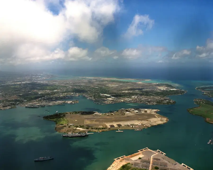
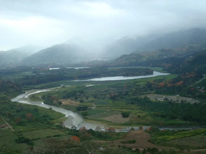
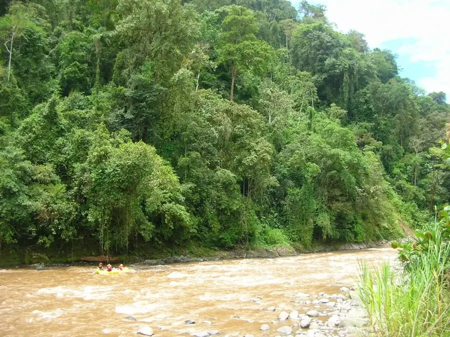
The Prinzapolka River is a major waterway in the North Caribbean Coast Autonomous Region (RACCN) of Nicaragua, stretching approximately 254 kilometers from the central highlands to its mouth in the Caribbean Sea. It flows through a vast territory characterized by tropical rainforests and extensive swamplands that host exceptional biodiversity. Historically, the river was the scene of intense mining activities in the late 19th and early 20th centuries, when gold mines in the region attracted foreign companies and laborers. Culturally, the river is the lifeblood of the Miskito indigenous people, who live in communities along its banks, such as the town of Prinzapolka, utilizing the river for transportation via dugout canoes and for fishing. The region is often affected by extreme weather events like hurricanes, which cause periodic flooding and challenge the livelihoods of its residents. Despite its remoteness, the Prinzapolka River remains a critical corridor for trade and the connection between isolated inland communities and the coast. Modern conservation efforts focus on protecting water quality from the impacts of illegal mining and promoting the preservation of pristine forests in the basin.
- Location: Nicaragua
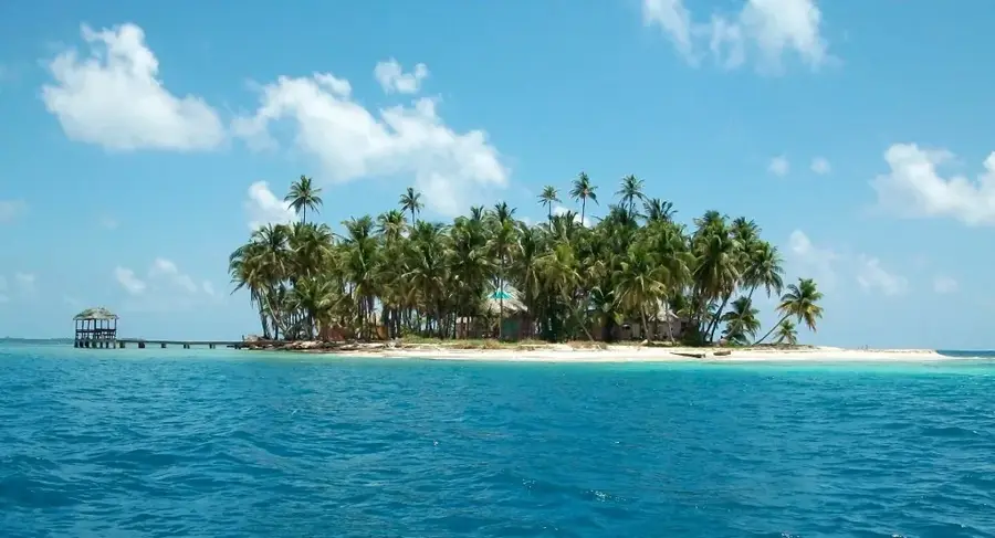
- Top sights: Prinzapolka · Mosquito Coast
- Nearby: Desembocadura de Río Grande (7 km)
Best time to visit & climate
The most pleasant time to visit is Jan–Mar.
| Jan | Feb | Mar | Apr | May | Jun | Jul | Aug | Sep | Oct | Nov | Dec | |
|---|---|---|---|---|---|---|---|---|---|---|---|---|
| Avg °C | 25 | 25 | 26 | 28 | 28 | 27 | 27 | 27 | 27 | 26 | 26 | 25 |
| Rain mm | 100 | 58 | 43 | 45 | 149 | 229 | 241 | 217 | 193 | 343 | 268 | 141 |
📋 Practical info
Geography
Facts
- The Prinzapolka River has a total length of approximately 254 kilometers.
- It flows directly into the Caribbean Sea on the Nicaraguan coast.
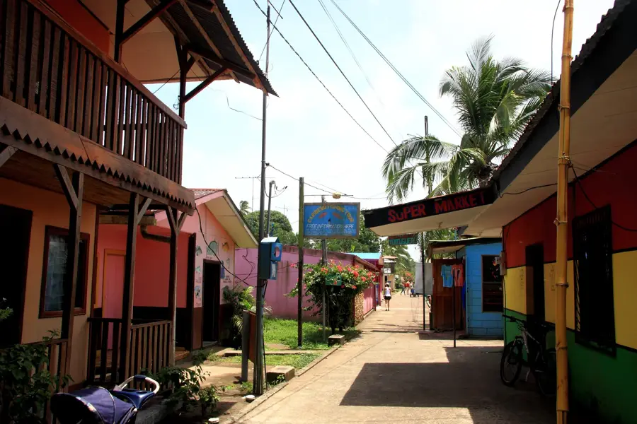
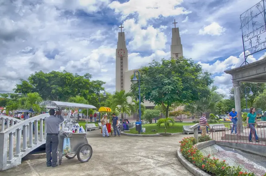
- The namesake municipality of Prinzapolka is the local cultural hub.
- The Miskito indigenous people define the region's cultural identity.
- Gold mining history has shaped the upper basin since the 1880s.
- The area is part of the North Caribbean Coast Autonomous Region (RACCN).
Explore nearby
Notable places around
Route planner — Car & Motorhome
Where do you start? We build the route here, with stops and country notes along the way.
© OpenStreetMap contributors · OpenRouteService
Sights in the town Prinzapolka River (2)
Sights nearby
Frequently asked questions
Is the Río Prinzapolka developed for tourists?
How is the best way to travel there?
Are there accommodations there?
Is the area safe?
What is the appeal of this region?
Prinzapolka River: where is it located?
Prinzapolka River: what is there to see?
Prinzapolka River: when is the best time to visit?
Prinzapolka River: why is it worth visiting?

Nearby cities


History & landmarks

Nature

More places