Plizio Visual Lab
El Tortuguero
ℹ️Practical info — El Tortuguero
▾
🌤 Weather — 5 days
📍 Nearby
Sights nearby
💡 Tips
- Access is often via rivers; get accurate information about boat ('panga') schedules in advance.
- Bring insect repellent and rain gear, as the climate is humid and tropical.
- Infrastructure is basic, so don't expect luxury accommodations or reliable Wi-Fi.
- Bottled drinking water is a must; avoid tap water or ice cubes.
🍽 Food
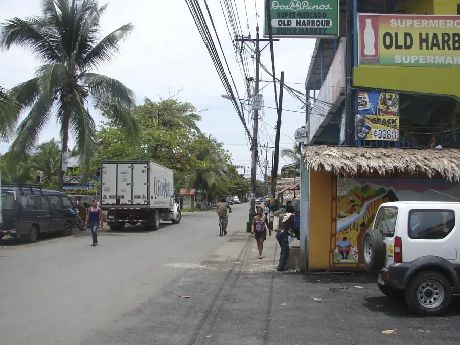
The traditional rice and bean dish is served at almost every meal in the simple 'comedores'.
Try fresh fish from the Rio Kurinwas, often simply fried and served with plantains.
Enjoy 'refrescos' made from local tropical fruits, but insist they be made without water or ice.
🛍 Shopping · 🧘 Quiet spots
The small local market is the best place to buy fresh bananas, papayas, and other fruits cheaply.
Occasionally, you'll find carved woodwork by local artisans, a nice keepsake from the region.
Find a quiet spot on the bank to watch the boats and birds.
Join a local guide for a quiet, mindful hike through the lush vegetation.
Water temperature…
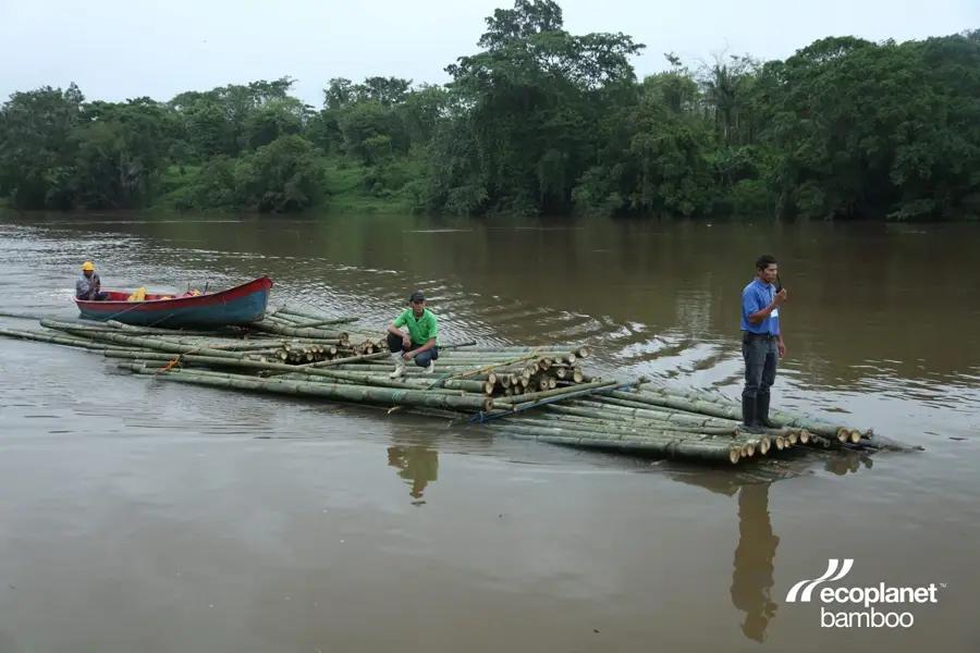
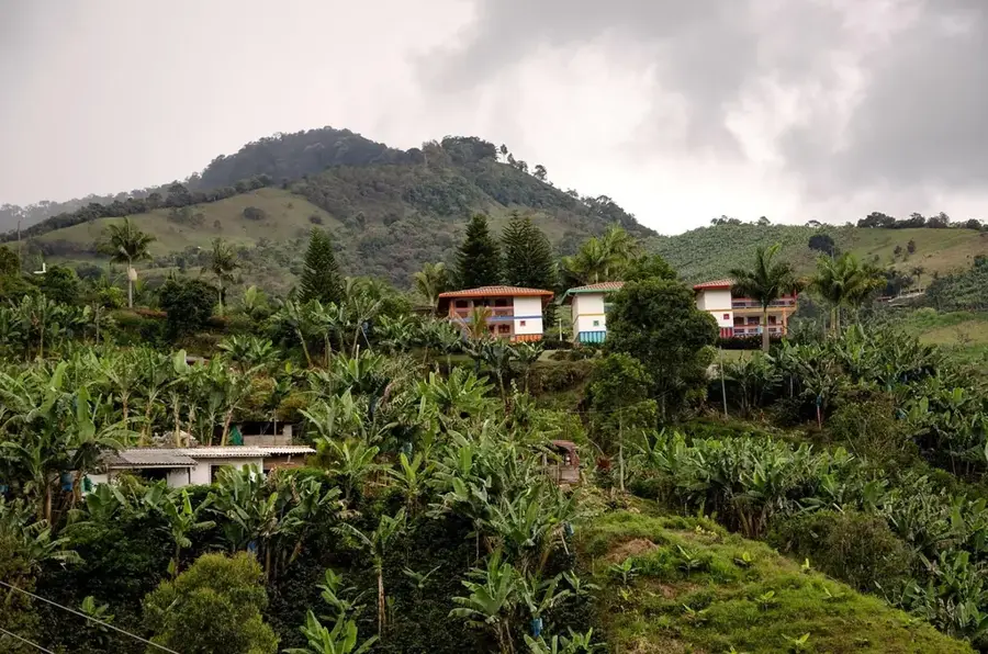
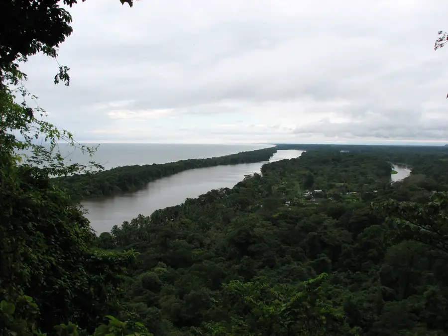
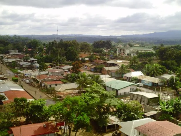
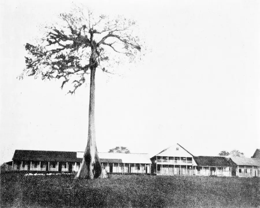
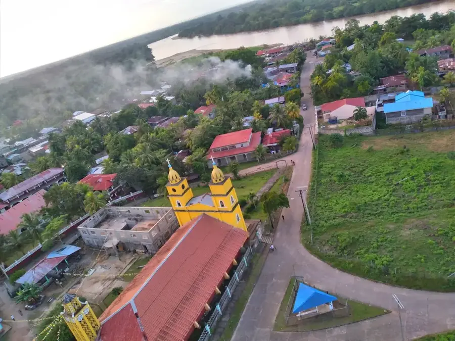
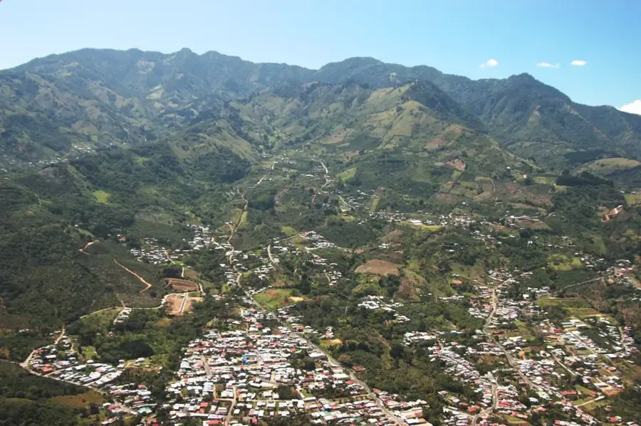
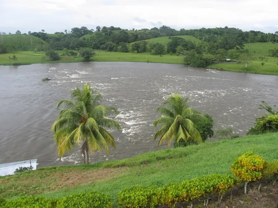
El Tortuguero is one of the newest municipalities in Nicaragua, located deep within the South Caribbean Coast Autonomous Region along the Curinhuás River. Officially established in 1996, the municipality was formed to provide administrative structure to the rapidly growing population of settlers moving toward the Caribbean agricultural frontier. The local geography is defined by undulating hills, dense rainforests, and an intricate network of waterways that serve as the primary means of transport during the rainy season. Agriculture and extensive cattle ranching are the backbones of the economy, providing essential food supplies for both local consumption and trade with neighboring regions. The name El Tortuguero refers to the river turtles that were historically abundant in the area's pristine rivers and lagoons. Today, the municipality is a focal point for discussions on balancing economic expansion with the preservation of indigenous land rights and forest conservation. Its growth reflects the ongoing socio-economic shift in Nicaragua's interior as it becomes more integrated with the national market.
- Location: Nicaragua
- Nearby: La Cruz de Río Grande (12 km)
- Population: ~1.292 (2026)
Best time to visit & climate
The most pleasant time to visit is Jan–Mar.
| Jan | Feb | Mar | Apr | May | Jun | Jul | Aug | Sep | Oct | Nov | Dec | |
|---|---|---|---|---|---|---|---|---|---|---|---|---|
| Avg °C | 25 | 26 | 27 | 28 | 28 | 27 | 27 | 27 | 27 | 26 | 26 | 25 |
| Rain mm | 90 | 48 | 34 | 51 | 219 | 298 | 310 | 274 | 285 | 380 | 302 | 128 |
Geography
Facts
- The municipality of El Tortuguero was officially created on March 13, 1996.
- The total administrative area spans approximately 2,271 square kilometers.
- The Curinhuás River is the essential lifeline for local transport and trade.
- The majority of the population consists of mestizo internal migrants.
- Agriculture in the area primarily focuses on corn, beans, and rice production.
- The town serves as a key inland port for the South Caribbean region.
Explore nearby
Notable places around
Route planner — Car & Motorhome
Where do you start? We build the route here, with stops and country notes along the way.
© OpenStreetMap contributors · OpenRouteService
Frequently asked questions
What is El Tortuguero?
How do you get to this region?
What can you do here?
Are there accommodations there?
What should one pay special attention to?
El Tortuguero: where is it located?
El Tortuguero: when is the best time to visit?
El Tortuguero: why is it worth visiting?

Nearby cities


History & landmarks


Nature

More places