Plizio Visual Lab
Mount Killibrin

Weather…
Water temperature…
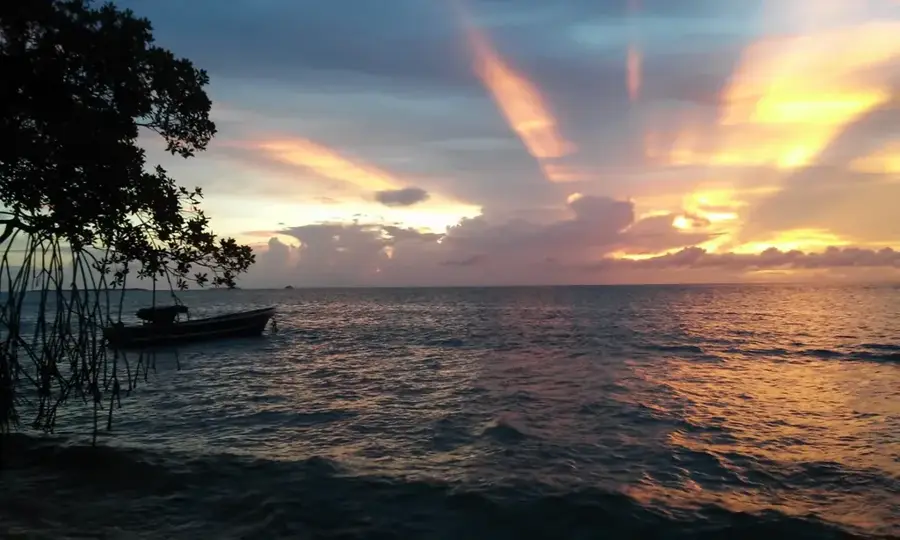
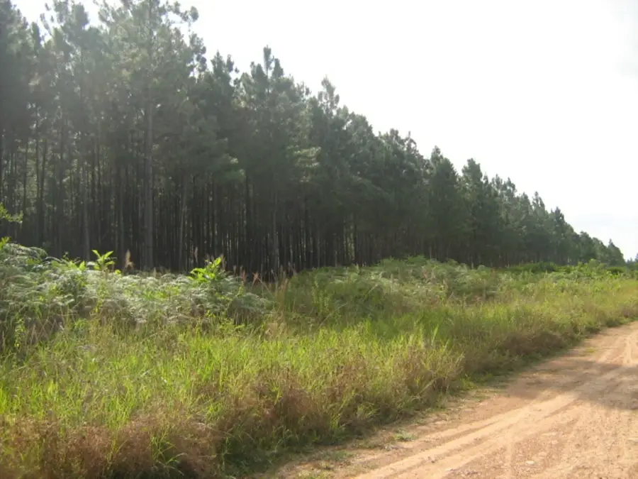
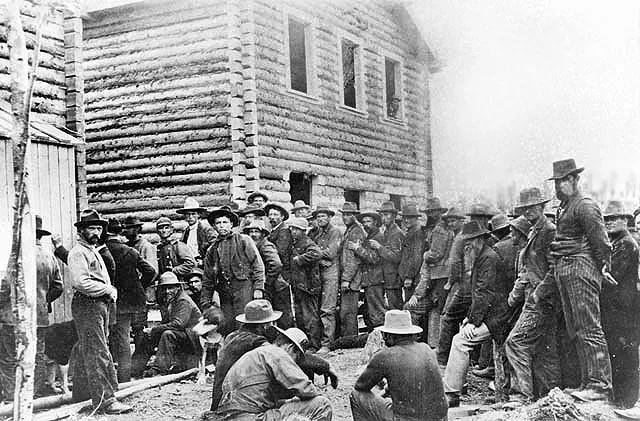
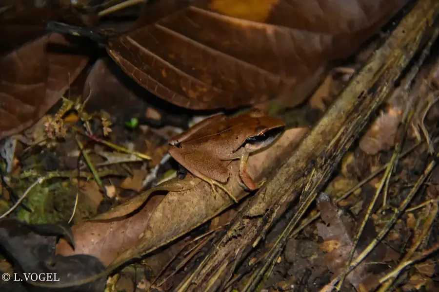
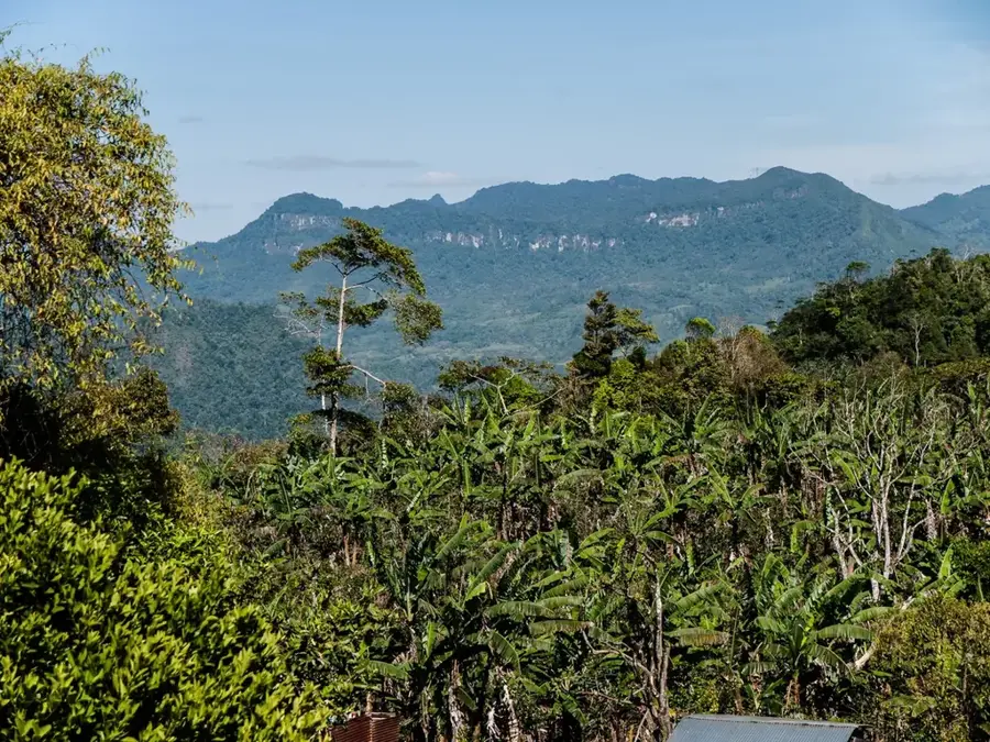
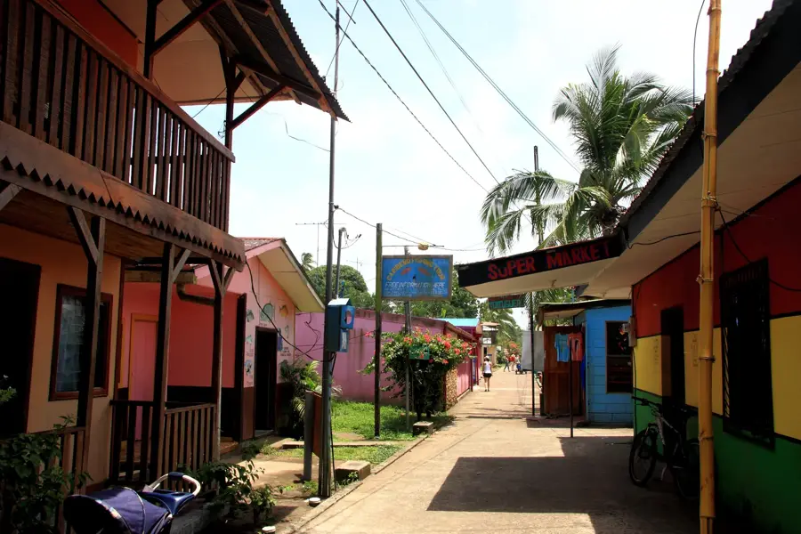
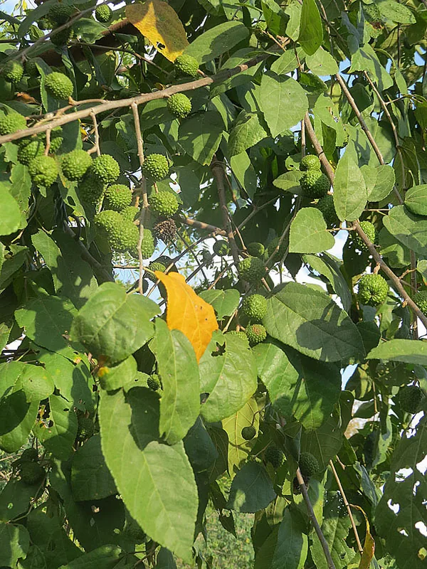
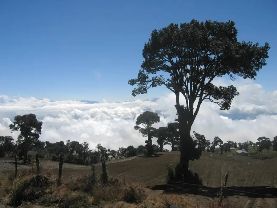
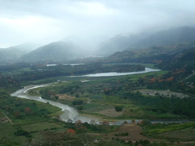
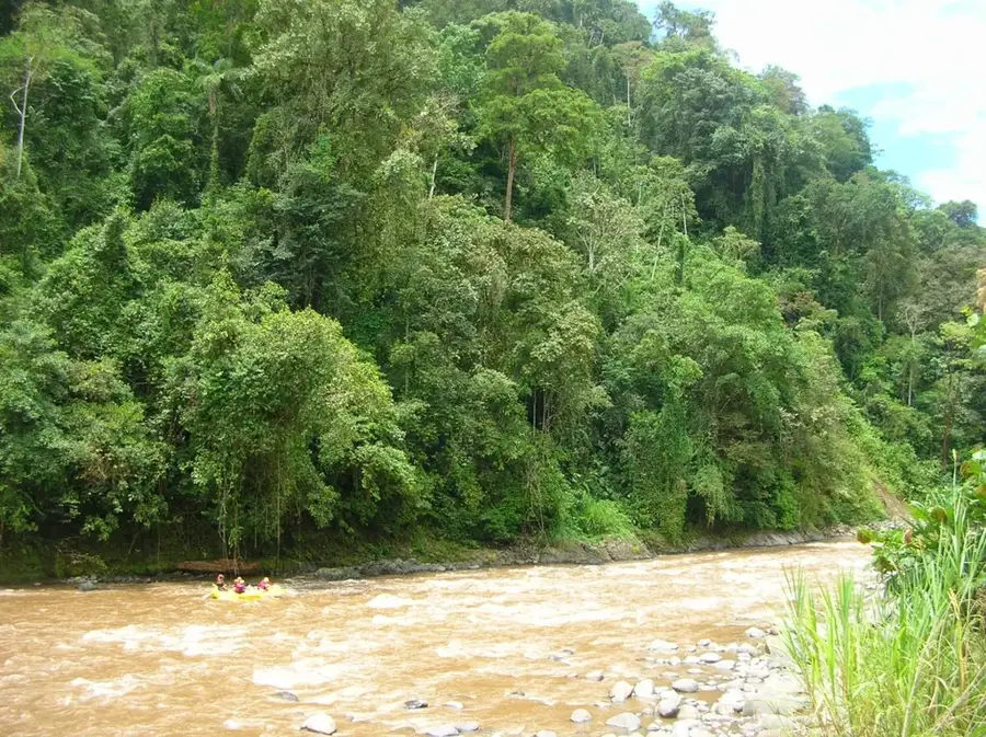
Cerro Killibrín is a prominent mountain peak located in the Jinotega department of Nicaragua, forming a core part of the Datanlí-El Diablo Nature Reserve. Reaching an elevation of approximately 1,650 meters, the mountain provides striking panoramic views of the city of Jinotega and the surrounding coffee-growing landscapes. The geological makeup of the peak is defined by Tertiary volcanic rocks, which have contributed to the creation of the region's exceptionally fertile soils. Historically, the area surrounding Killibrín was a significant site for resistance against U.S. intervention during the 1920s, led by the national hero Augusto C. Sandino. Its vegetation transitions with altitude from tropical dry forests to dense cloud forests that host a high concentration of endemic plant species. Today, the mountain is a favorite destination for hikers and nature photographers who seek to explore its pristine environment and diverse birdlife.
- Location: Nicaragua
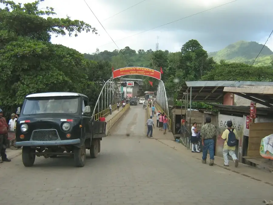
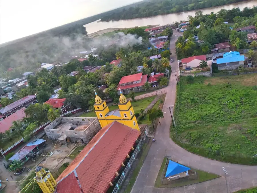
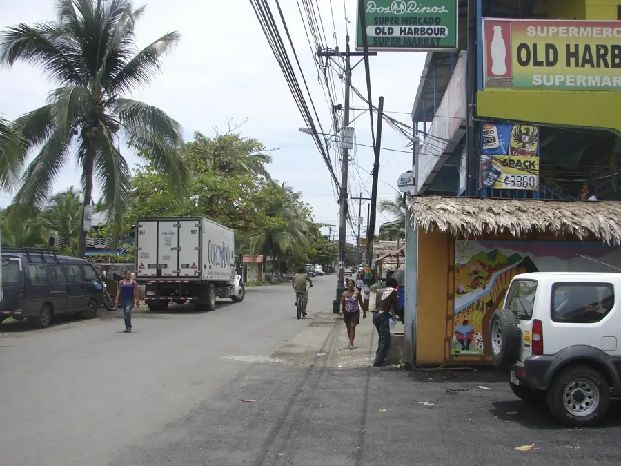
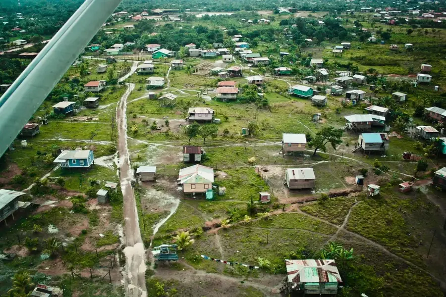
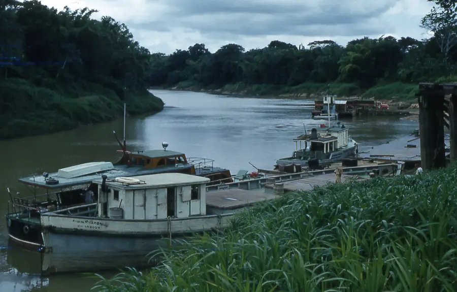
- Nearby: Desembocadura de Río Grande (16 km)
Best time to visit & climate
The most pleasant time to visit is Jan–Mar.
| Jan | Feb | Mar | Apr | May | Jun | Jul | Aug | Sep | Oct | Nov | Dec | |
|---|---|---|---|---|---|---|---|---|---|---|---|---|
| Avg °C | 24 | 25 | 26 | 27 | 28 | 27 | 27 | 27 | 27 | 26 | 25 | 25 |
| Rain mm | 103 | 62 | 46 | 49 | 140 | 208 | 215 | 195 | 170 | 332 | 249 | 141 |
📋 Practical info
Geography
Facts
- Elevation: approximately 1,650 meters
- Location: Datanlí-El Diablo Nature Reserve
- Department: Jinotega
- Rock type: Tertiary volcanic formations
- Tourist activity: Hiking and panoramic viewpoints
- Wildlife: Habitat for various hummingbird species
Explore nearby
Notable places around
Route planner — Car & Motorhome
Where do you start? We build the route here, with stops and country notes along the way.
© OpenStreetMap contributors · OpenRouteService
Sights nearby
Frequently asked questions
Is this place accessible to tourists?
What is special about the peak?
Are there sanitary facilities?
How long do you hike?
Is it dangerous?
Mount Killibrin: where is it located?
Mount Killibrin: when is the best time to visit?
Mount Killibrin: why is it worth visiting?

Nearby cities


History & landmarks

Nature
More places