Plizio Visual Lab
Grande de Matagalpa River

Weather…
Water temperature…
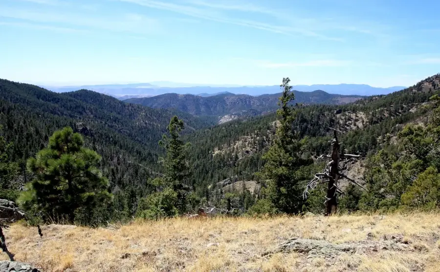
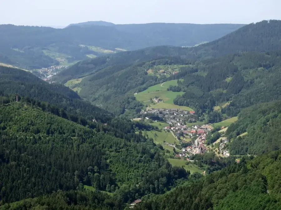
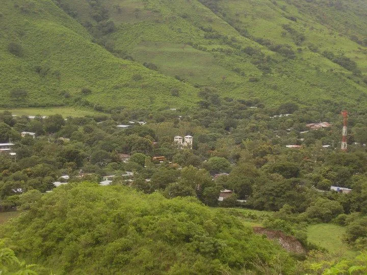
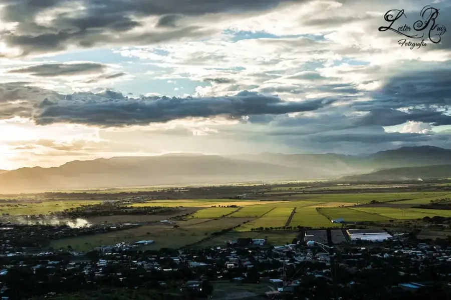
The Río Grande de Matagalpa is one of Nicaragua's most significant rivers, spanning approximately 465 kilometers in length. It originates in the central highlands near the city of Matagalpa and flows eastward through several departments before emptying into the Caribbean Sea at Barra de Río Grande. Its drainage basin covers nearly 18,500 square kilometers, making it a vital water source for agriculture and local industries. The river traverses diverse landscapes, ranging from misty mountain forests to tropical lowlands on the Atlantic coast. Historically, the river served as a major transportation route for the trade of coffee and timber from the interior. Ecologically, it is of great importance as its lower reaches are part of extensive wetland ecosystems that provide habitat for numerous fish and bird species. Despite increasing environmental pressure from human activities, it remains a central axis of Nicaraguan geography.
- Location: Nicaragua
- Nearby: San Juan de Nicaragua (Greytown) (30 km)
Best time to visit & climate
The most pleasant time to visit is Jan–Mar.
| Jan | Feb | Mar | Apr | May | Jun | Jul | Aug | Sep | Oct | Nov | Dec | |
|---|---|---|---|---|---|---|---|---|---|---|---|---|
| Avg °C | 25 | 26 | 27 | 28 | 28 | 27 | 27 | 27 | 27 | 26 | 26 | 25 |
| Rain mm | 98 | 57 | 38 | 49 | 183 | 288 | 313 | 266 | 247 | 369 | 294 | 140 |
📋 Practical info
Geography
Facts
- At 465 kilometers long, it is the second-longest river entirely within Nicaragua.
- The river's drainage basin extends over approximately 18,445 square kilometers.
- It originates in the Cordillera Dariense mountain range north of Matagalpa.
- The river discharges into the Caribbean Sea at Barra de Río Grande.
- Major tributaries include the Tuma River and the Olama River.
- The lower section of the river is navigable for small vessels over long distances.
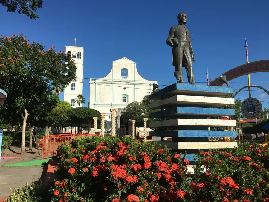
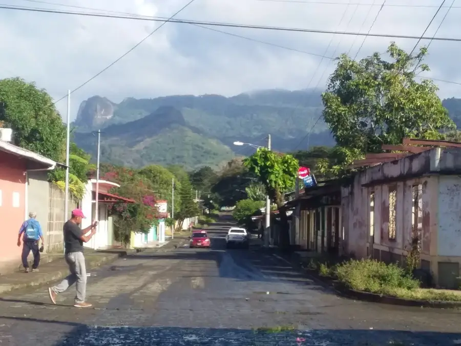
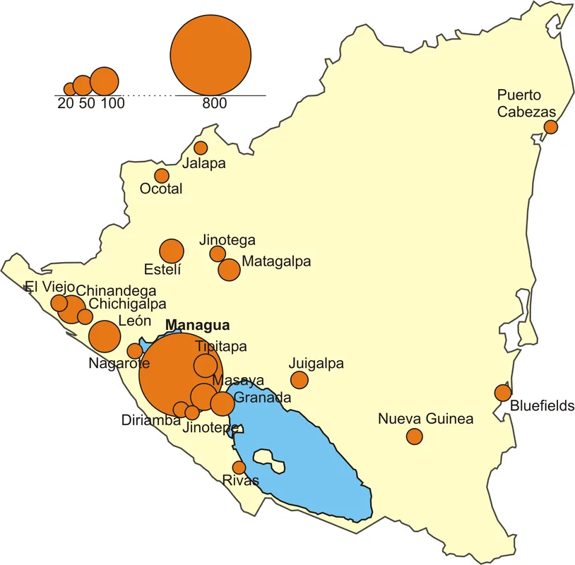
Explore nearby
Notable places around
Route planner — Car & Motorhome
Where do you start? We build the route here, with stops and country notes along the way.
© OpenStreetMap contributors · OpenRouteService
Sights nearby
Frequently asked questions
Is the Río Grande suitable for kayaking?
Are there guided hikes by the river?
What is the best travel period?
How cold does it get at night?
Is there a tourist center there?
Grande de Matagalpa River: where is it located?
Grande de Matagalpa River: when is the best time to visit?
Grande de Matagalpa River: why is it worth visiting?

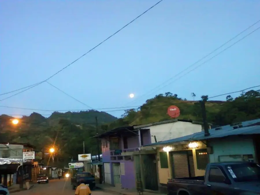
Nearby cities

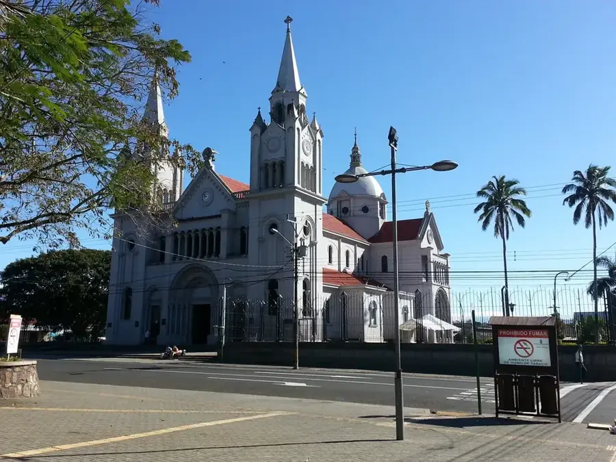


History & landmarks
Nature
More places