Plizio Visual Lab
Desembocadura de Río Grande

ℹ️Practical info — Desembocadura de Río Grande
▾
🌤 Weather — 5 days
📍 Nearby
Sights nearby
💡 Tips
- Access is usually by boat; check the river transport schedules in advance.
- The location is very remote. Bring all essential supplies and plenty of cash.
- Mosquito repellent is an absolute must due to the proximity to the river and coast.
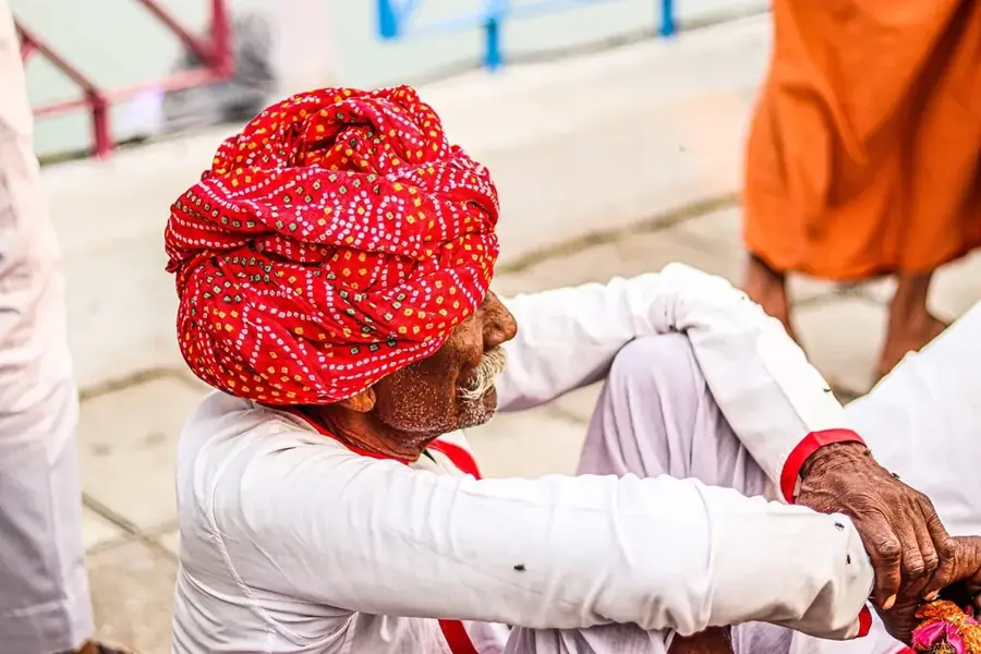
- Respect the local indigenous and Afro-Caribbean (Miskito/Creole) culture.
🍽 Food
A traditional coconut seafood stew available at local guesthouses.
Freshly caught fish served at simple coastal shacks.
Buy it directly from street vendors for well-suited refreshment.
🛍 Shopping · 🧘 Quiet spots
Buy seafood directly from the local fishermen.
Look for handmade souvenirs at informal artisanal stalls.
Sit on the shore and peacefully watch the incoming boats.
Take a walk along the quiet, natural beaches right at the river mouth.
Water temperature…
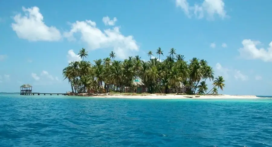
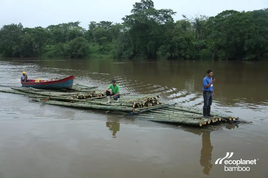
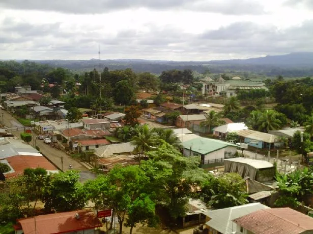
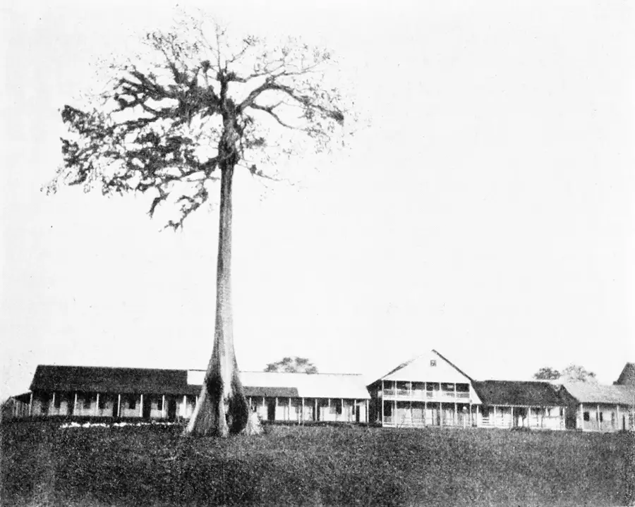
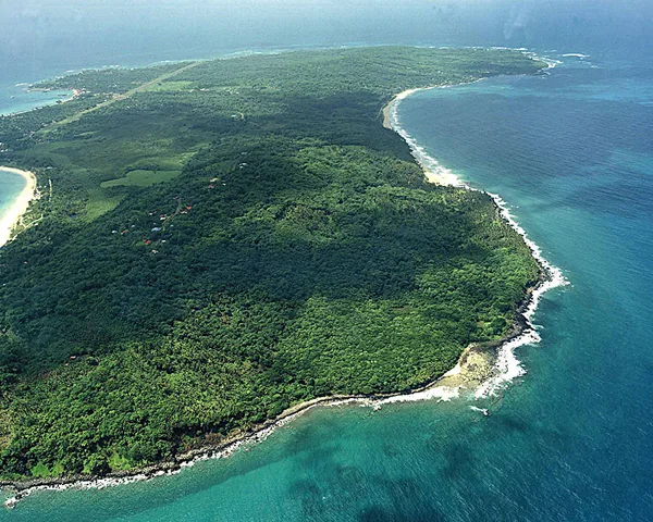
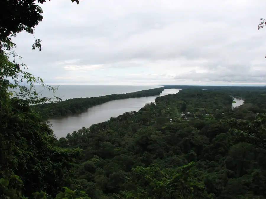
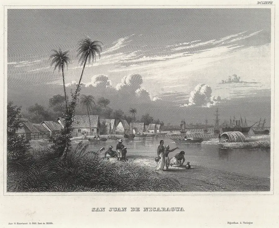
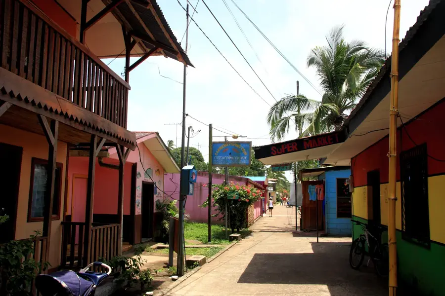
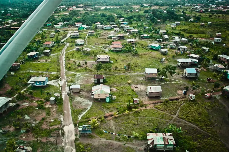
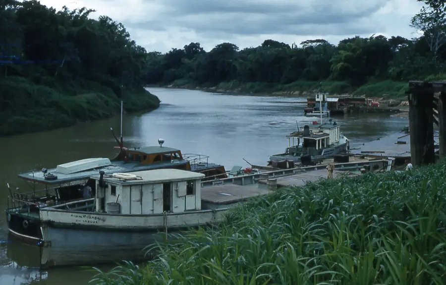
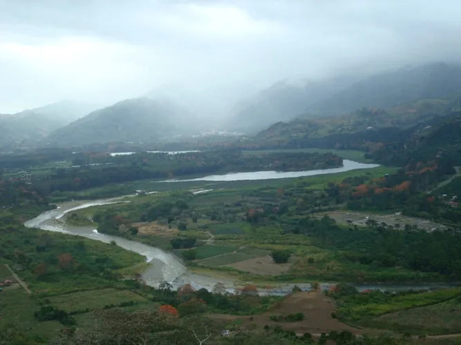
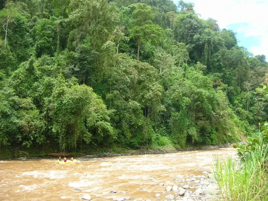
Desembocadura de Río Grande is a remote municipality located in the South Caribbean Coast Autonomous Region of Nicaragua, situated at the mouth of the Río Grande de Matagalpa. The geography of the area is defined by its extensive river systems, coastal lagoons, and dense tropical rainforests, which largely isolate the community from the Pacific interior. This isolation has preserved a unique cultural landscape where Miskito, Ulwa, and Creole populations coexist, maintaining traditional fishing and agricultural practices. Historically, the region served as a focal point for timber extraction and trade between the Caribbean coast and the hinterland during the colonial and early republican eras. Today, the economy remains focused on artisanal fishing, logging, and small-scale farming of bananas and tubers. The administrative center, Karawala, functions as the primary hub for services and education for the surrounding indigenous territories. Efforts to improve connectivity through coastal shipping continue to be vital for the economic integration of this ecologically sensitive and culturally diverse maritime region.
- Location: Nicaragua
- Nearby: San Juan de Nicaragua (Greytown) (29 km)
Best time to visit & climate
The most pleasant time to visit is Jan–Mar.
| Jan | Feb | Mar | Apr | May | Jun | Jul | Aug | Sep | Oct | Nov | Dec | |
|---|---|---|---|---|---|---|---|---|---|---|---|---|
| Avg °C | 25 | 26 | 27 | 28 | 28 | 27 | 27 | 27 | 27 | 26 | 26 | 25 |
| Rain mm | 98 | 57 | 38 | 49 | 183 | 288 | 313 | 266 | 247 | 369 | 294 | 140 |
Geography
Facts
- The municipality covers a total land area of approximately 1,738 square kilometers.
- Karawala serves as the administrative seat for Desembocadura de Río Grande.
- The Río Grande de Matagalpa is the second longest river entirely within Nicaragua.
- The local population includes a significant percentage of the Ulwa ethnic group.
- Economic activities are dominated by artisanal lobster and shrimp fishing.
- Transportation is primarily conducted via riverboats due to the lack of highways.
Explore nearby
Notable places around
Route planner — Car & Motorhome
Where do you start? We build the route here, with stops and country notes along the way.
© OpenStreetMap contributors · OpenRouteService
Sights in the town Desembocadura de Río Grande (1)
Frequently asked questions
What is special about this place?
Can you experience nature there?
Are there beaches?
What is the climate like?
Is it a typical tourist destination?
Desembocadura de Río Grande: where is it located?
Desembocadura de Río Grande: when is the best time to visit?
Desembocadura de Río Grande: why is it worth visiting?

Nearby cities


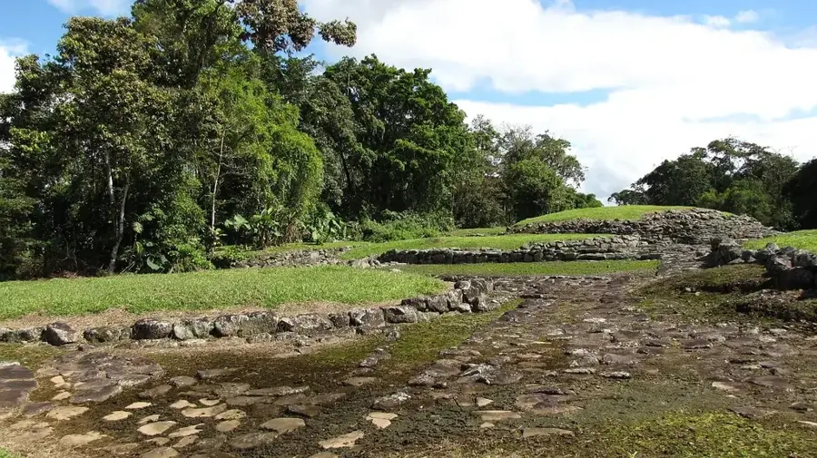
History & landmarks

Nature
More places