Plizio Visual Lab
Miskito Cays
Weather…
Water temperature…
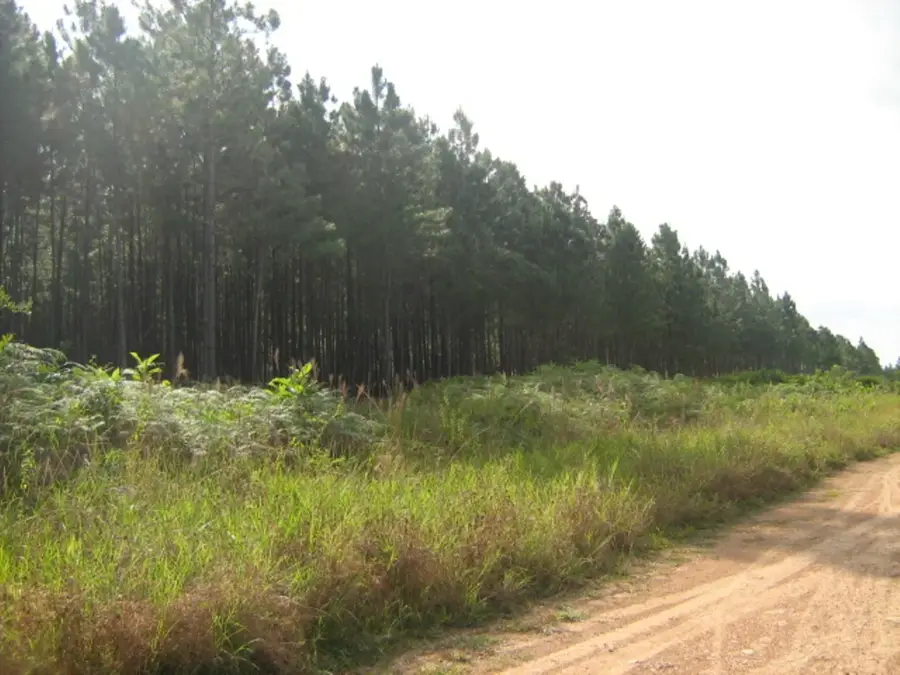
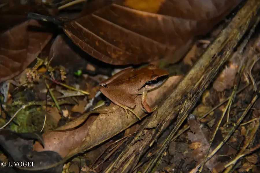
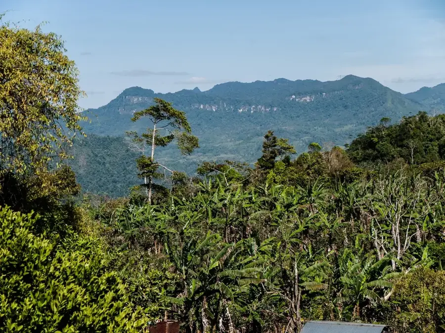
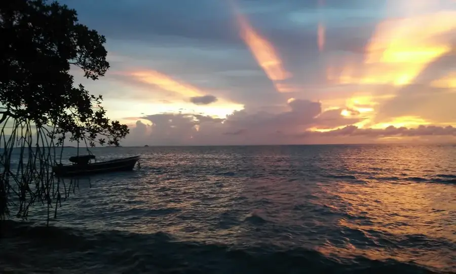
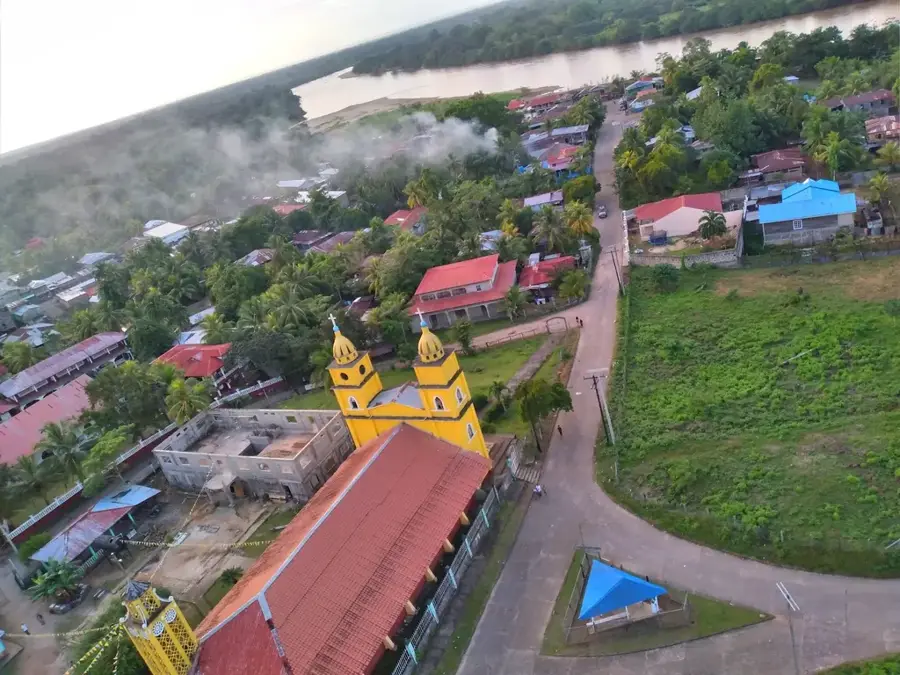
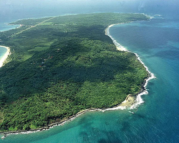
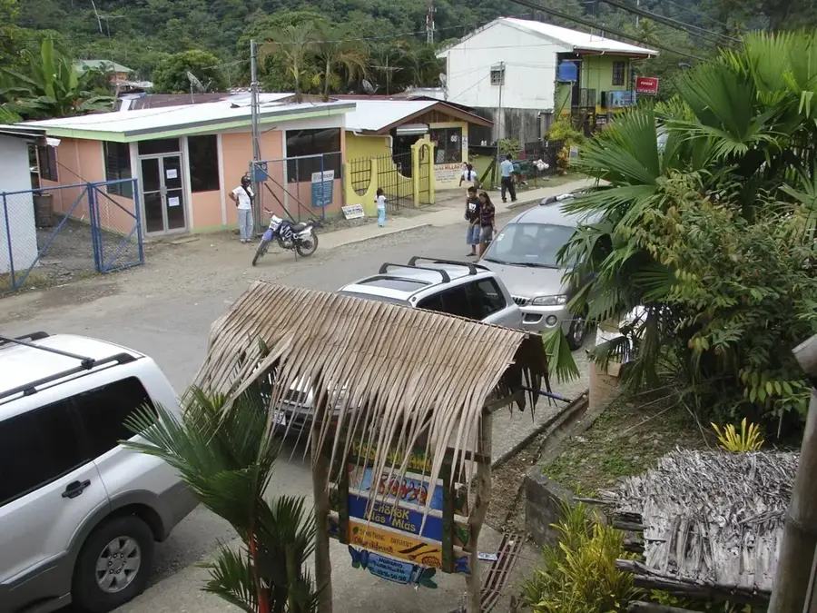
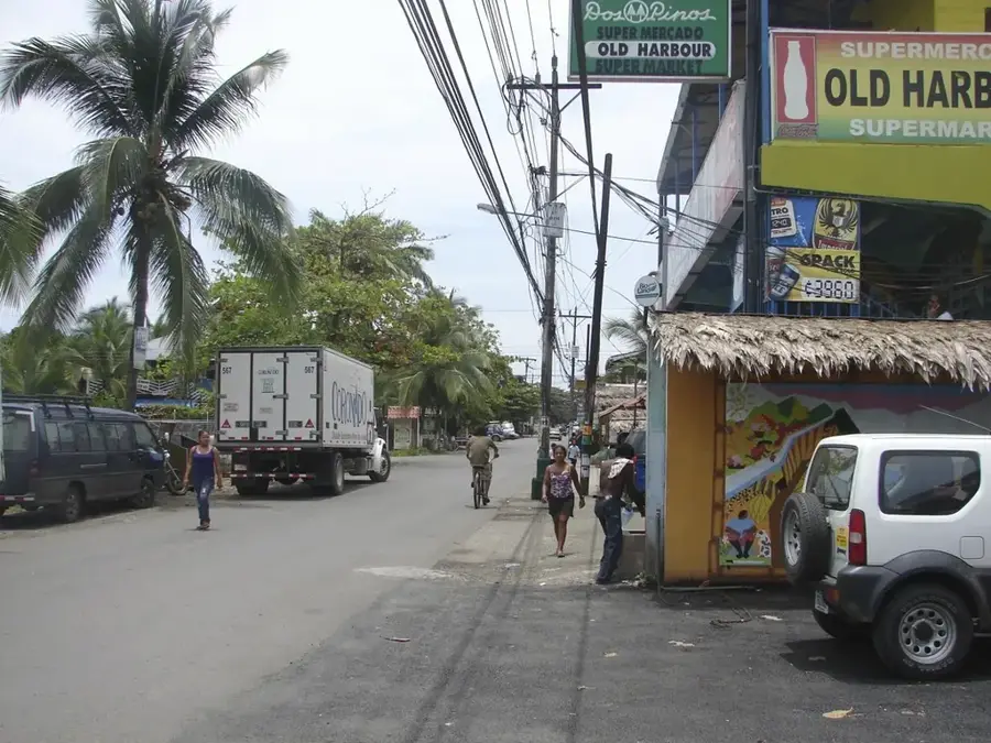
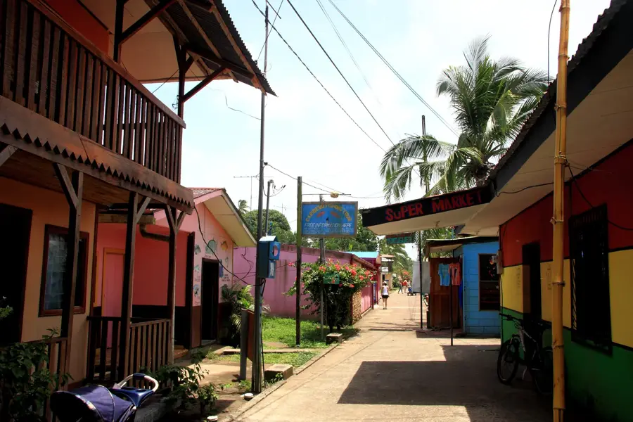
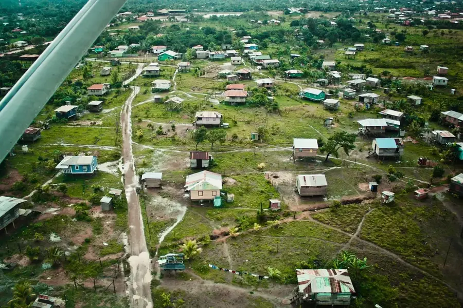
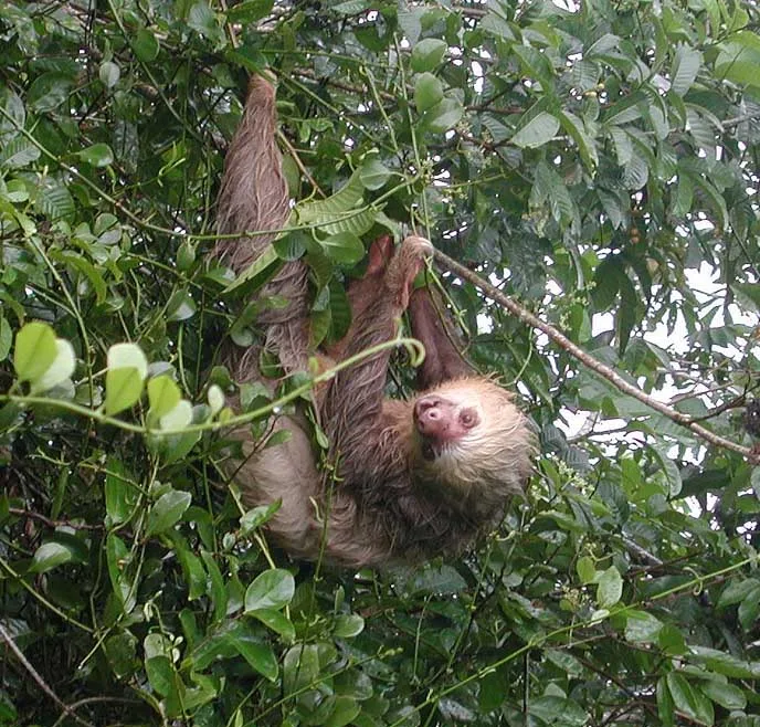
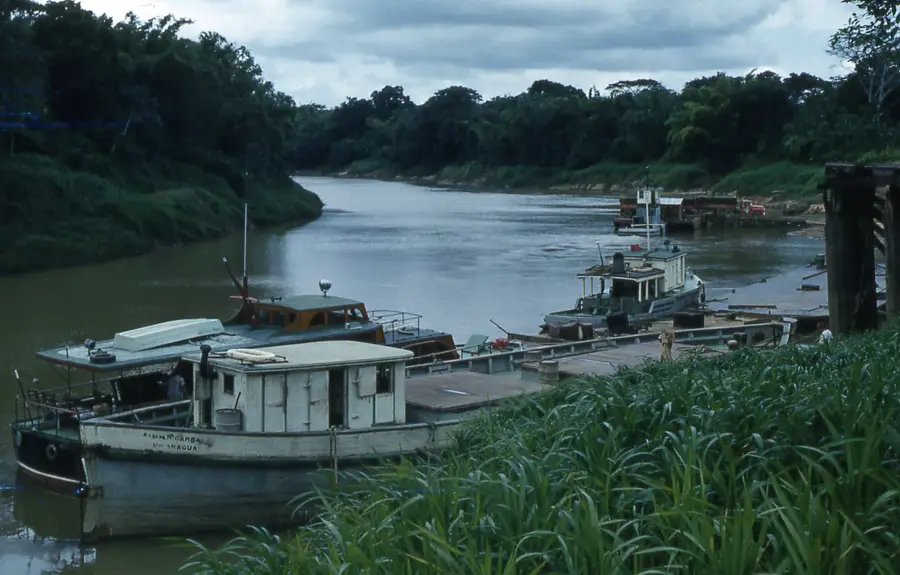
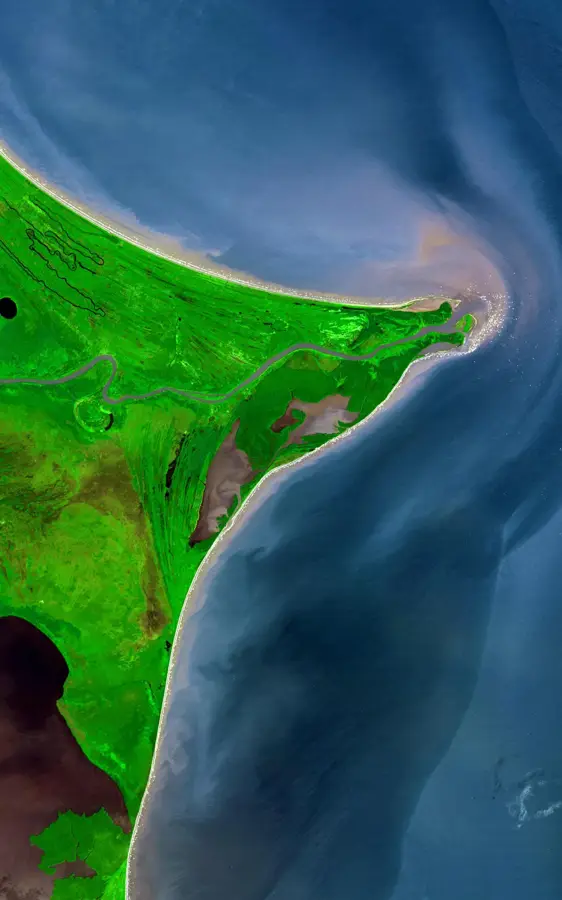
The Miskito Cays are a remote archipelago in the Caribbean Sea, located approximately 50 kilometers off the northeastern coast of Nicaragua. This marine protected area belongs to the North Caribbean Coast Autonomous Region (RACCN) and was officially declared a biological reserve in 1991 to preserve the region's immense biodiversity. The reserve covers an area of about 50,000 hectares and consists of coral reefs, seagrass beds, mangrove swamps, and numerous small islands. It serves as a critical habitat for endangered species, including the green sea turtle and the hawksbill sea turtle, which nest here. Historically, the area is closely linked to the culture and livelihood of the Miskito people, who have relied on the resources of these waters for centuries. Its ecological significance is highlighted by the presence of manatees and numerous rare seabird colonies that find shelter in the pristine mangrove forests.
- Location: Nicaragua
- Nearby: Corn Island (31 km)
Best time to visit & climate
The most pleasant time to visit is Feb–Apr.
| Jan | Feb | Mar | Apr | May | Jun | Jul | Aug | Sep | Oct | Nov | Dec | |
|---|---|---|---|---|---|---|---|---|---|---|---|---|
| Avg °C | 26 | 26 | 27 | 28 | 28 | 28 | 28 | 28 | 28 | 28 | 27 | 27 |
| Rain mm | 107 | 64 | 48 | 56 | 154 | 237 | 237 | 222 | 186 | 364 | 270 | 150 |
📋 Practical info
Geography
Facts
- The Cayos Miskitos Biological Reserve was officially established in 1991.
- The protected area covers a total surface of approximately 50,000 hectares.
- The waters host some of the largest seagrass beds in the Caribbean Sea.
- It is a primary nesting site for the endangered green sea turtle.
- The archipelago is located about 50 kilometers northeast of the city of Bilwi.
- The region is home to a significant population of the vulnerable West Indian manatee.
Explore nearby
Notable places around
Route planner — Car & Motorhome
Where do you start? We build the route here, with stops and country notes along the way.
© OpenStreetMap contributors · OpenRouteService
Sights nearby
Frequently asked questions
Do I need a special permit for Miskito Cays?
Can you go diving there?
When is the weather best?
Are there tourist services there?
How do I sleep there?
Miskito Cays: where is it located?
Miskito Cays: when is the best time to visit?
Miskito Cays: why is it worth visiting?

Nearby cities


History & landmarks

Nature
More places