Plizio Visual Lab
Rosita

ℹ️Practical info — Rosita
▾
🌤 Weather — 5 days
📍 Nearby
Sights nearby
💡 Tips
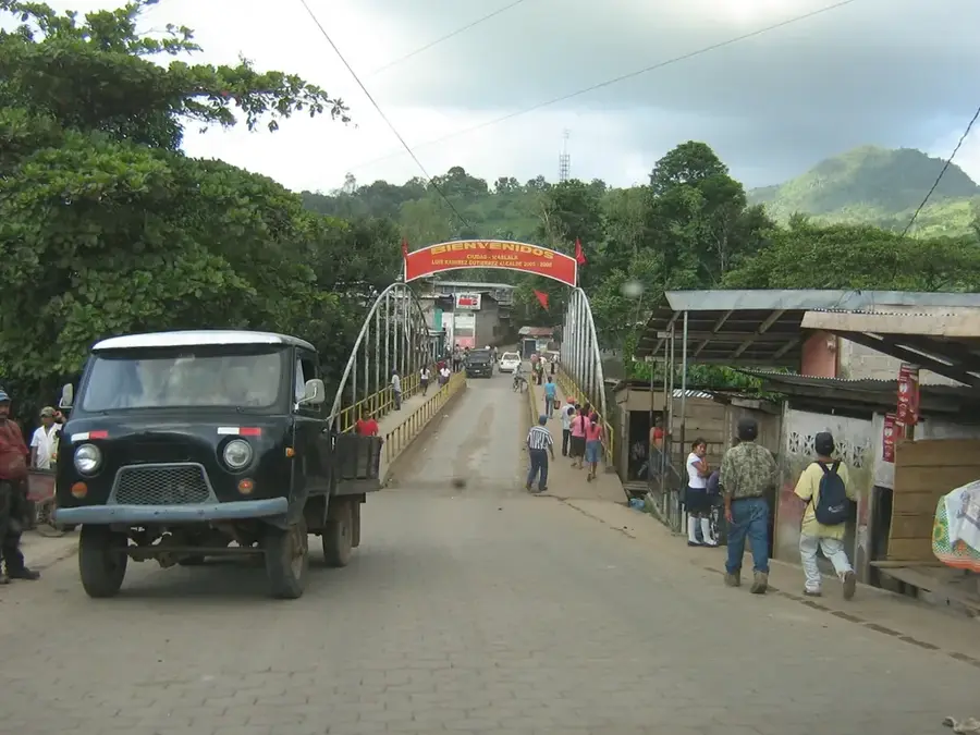
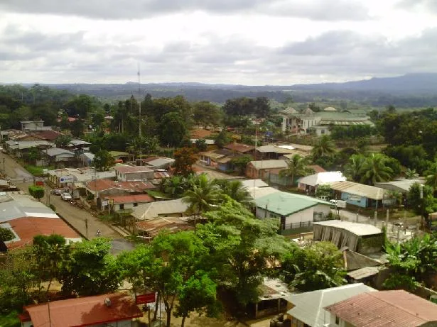
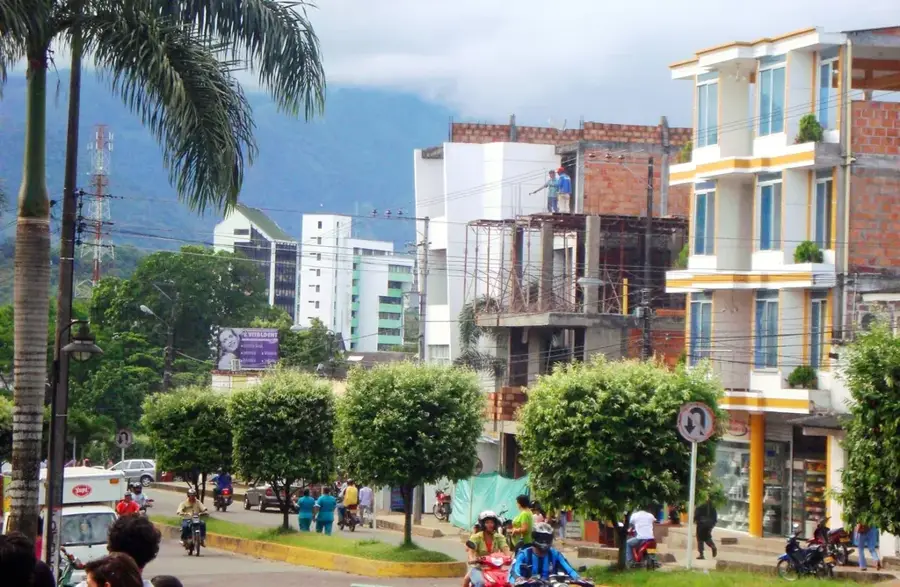
- Rosita is a rugged mining town; the atmosphere is industrial and functional, reflecting its roots.
- Check road conditions before traveling, as the route to Rosita can be challenging during the rainy season.
- Visit during the festival of Santa Rosa de Lima (late August) to experience local religious and cultural traditions.
- Basic services are available, but it's best to stock up on specific supplies in larger cities like Matagalpa.
- Humidity levels are very high; keep drinking water with you at all times to stay hydrated.
🍽 Food
Often served with fried fish, highlighting the Caribbean influence in the region.
A common side dish in local 'fritangas' (street food stalls) throughout the town.
Look for stalls selling fresh 'calala' (passion fruit) or chicha juices in the market area.
🛍 Shopping · 🧘 Quiet spots
A practical place to buy local produce and everyday items used by the mining community.
Some local shops sell specialized tools used in artisanal mining and agriculture.
A modest green space in the town center that features shade and a place to sit.
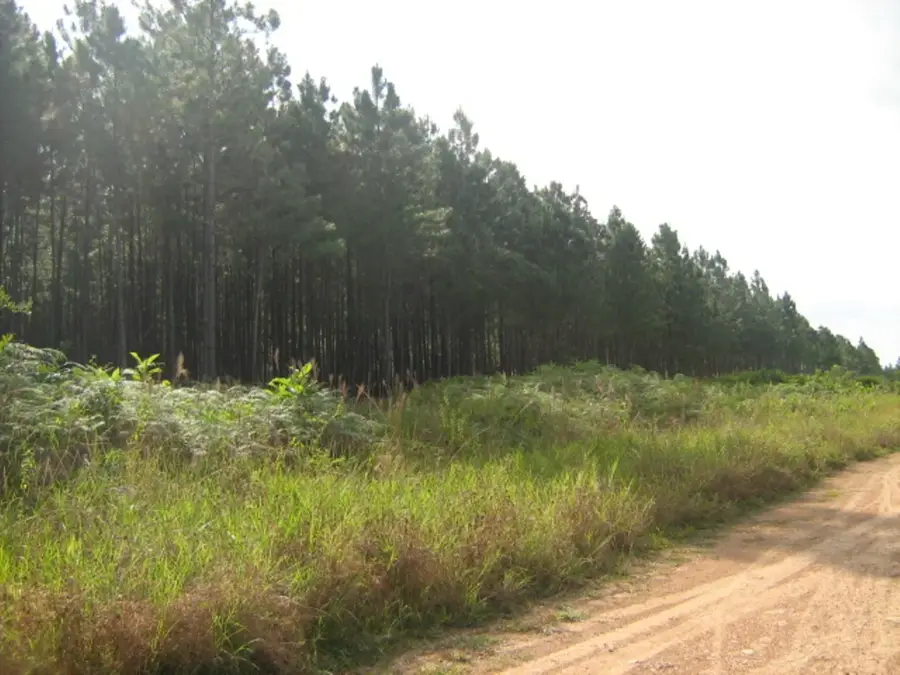
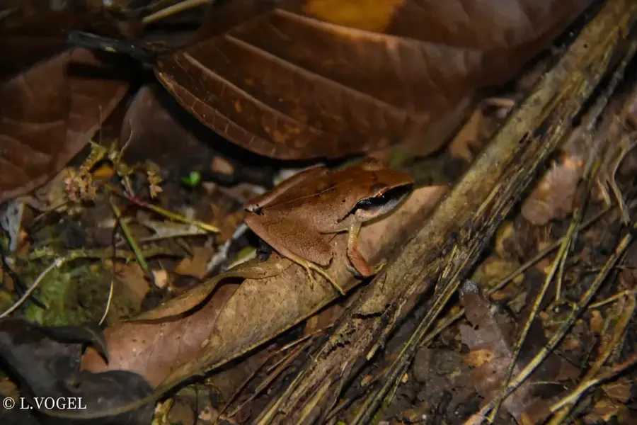
Short walks outside the main town area lead to quiet patches of tropical forest.
Water temperature…
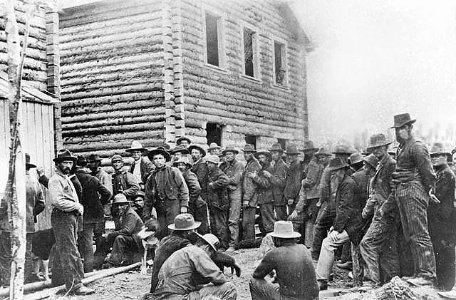
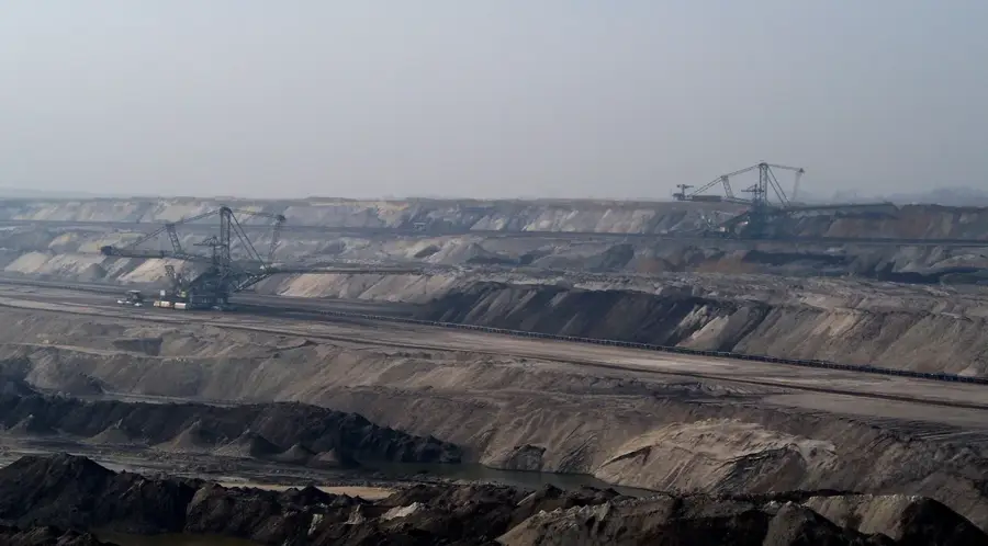
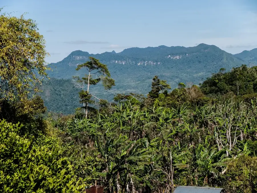
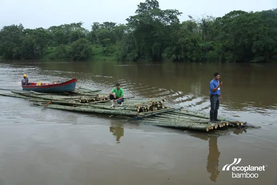
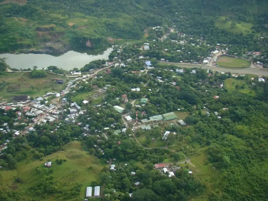
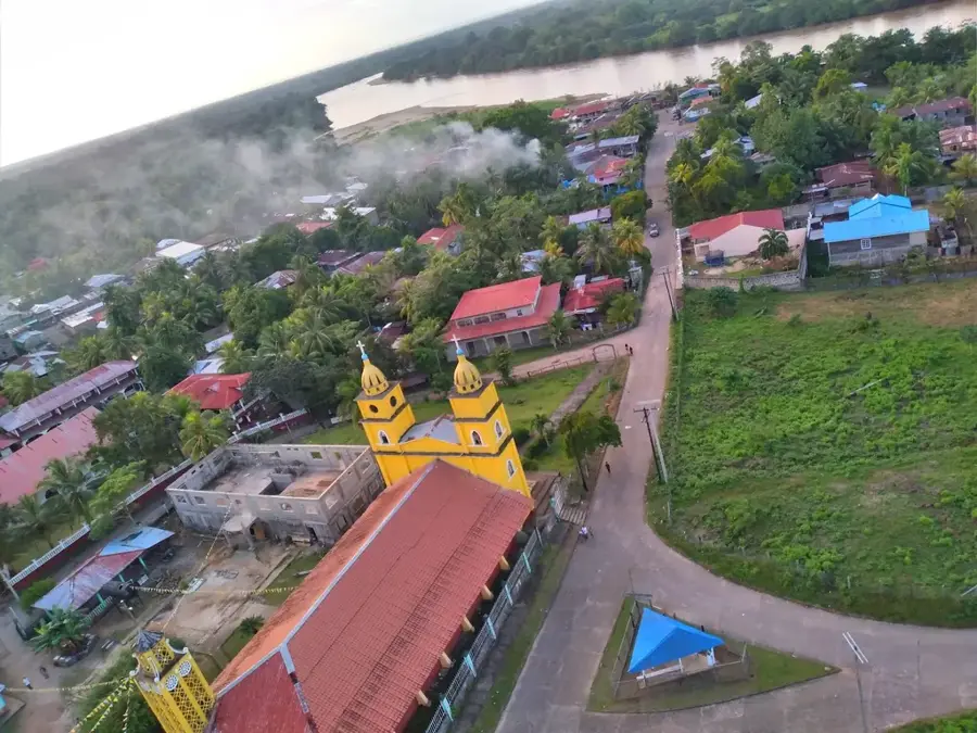
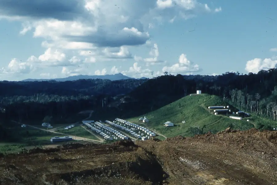
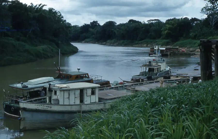
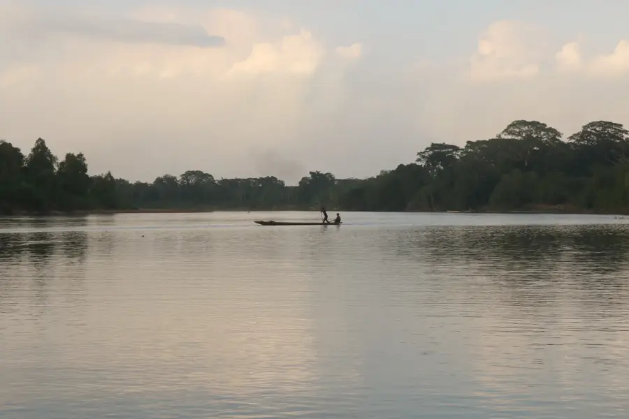
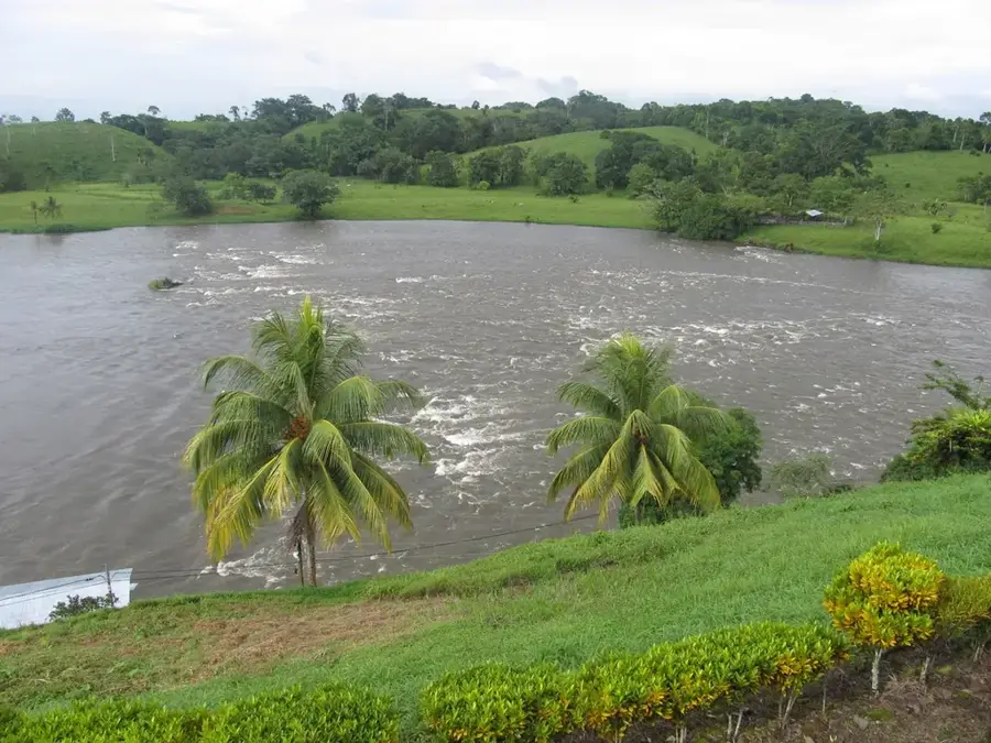
Rosita is a vital link within the Mining Triangle of Nicaragua's North Caribbean Coast Autonomous Region (RACCN), historically celebrated for its significant copper and gold deposits. Originally known as Santa Rita, the town developed into an industrial powerhouse in the mid-20th century as international firms invested heavily in copper extraction. Geographically, Rosita is situated in a transition zone between the central highlands and the Caribbean lowlands, surrounded by dense tropical rainforests. Following the cessation of large-scale industrial mining in the 1970s, the town underwent an economic shift and is now a prominent center for cattle ranching and forestry. The population is multi-ethnic, characteristic of the region, with Mayangna indigenous communities playing a vital role in the surrounding rural areas. Rosita serves as a critical transportation hub on the highway connecting the Pacific coast to the port city of Puerto Cabezas. The town's architecture today reflects a blend of industrial remnants from its mining heyday and newer commercial developments. Despite ecological challenges inherited from past mining operations, the municipality is pursuing sustainable resource management, particularly in cacao production and certified timber harvesting. Rosita remains an integral component of the economic identity of eastern Nicaragua.
- Location: Nicaragua
- Nearby: Bonanza (21 km)
Best time to visit & climate
The most pleasant time to visit is Jan–Mar.
| Jan | Feb | Mar | Apr | May | Jun | Jul | Aug | Sep | Oct | Nov | Dec | |
|---|---|---|---|---|---|---|---|---|---|---|---|---|
| Avg °C | 23 | 24 | 25 | 27 | 28 | 26 | 26 | 26 | 26 | 25 | 24 | 24 |
| Rain mm | 82 | 54 | 40 | 43 | 127 | 191 | 193 | 174 | 144 | 267 | 191 | 109 |
Geography
Facts
- The municipality of Rosita was officially established on November 6, 1989.
- Rosita was the center of Nicaragua's copper mining industry during the 1950s.
- The settlement was originally named Santa Rita before the mining boom.
- Portions of the municipality are situated within the Bosawás Biosphere Reserve.
- Forestry and cattle ranching have overtaken mining as the primary economic drivers.
- The town is a strategic transit point on the highway linking Matagalpa to Bilwi.
Explore nearby
Notable places around
Route planner — Car & Motorhome
Where do you start? We build the route here, with stops and country notes along the way.
© OpenStreetMap contributors · OpenRouteService
Sights in the town Rosita (1)
Frequently asked questions
How long should I stay in Rosita?
What is typical for Rosita?
How is the infrastructure?
Are there local markets?
What is the best way to continue my trip?
Rosita: where is it located?
Rosita: when is the best time to visit?
Rosita: why is it worth visiting?

Nearby cities


History & landmarks

Nature
More places