Plizio Visual Lab
Wawa River

Weather…
Water temperature…
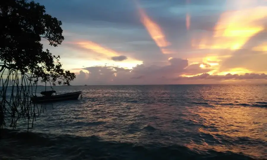
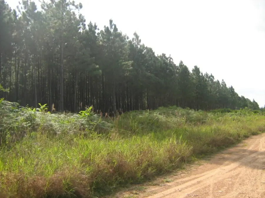
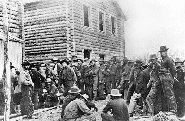
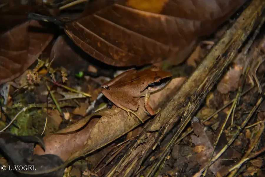
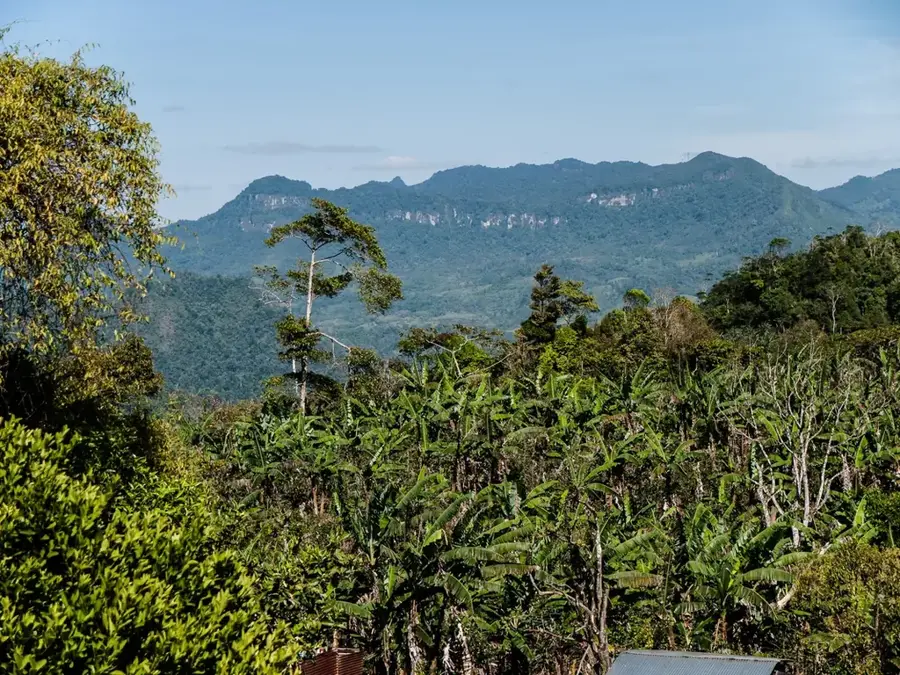
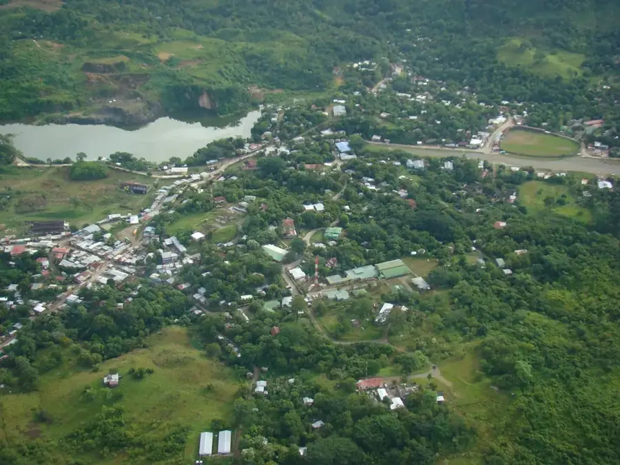
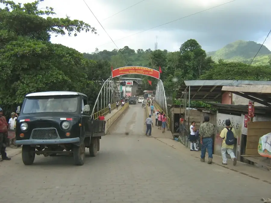
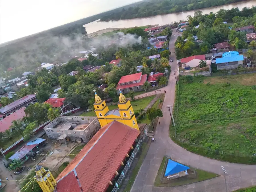
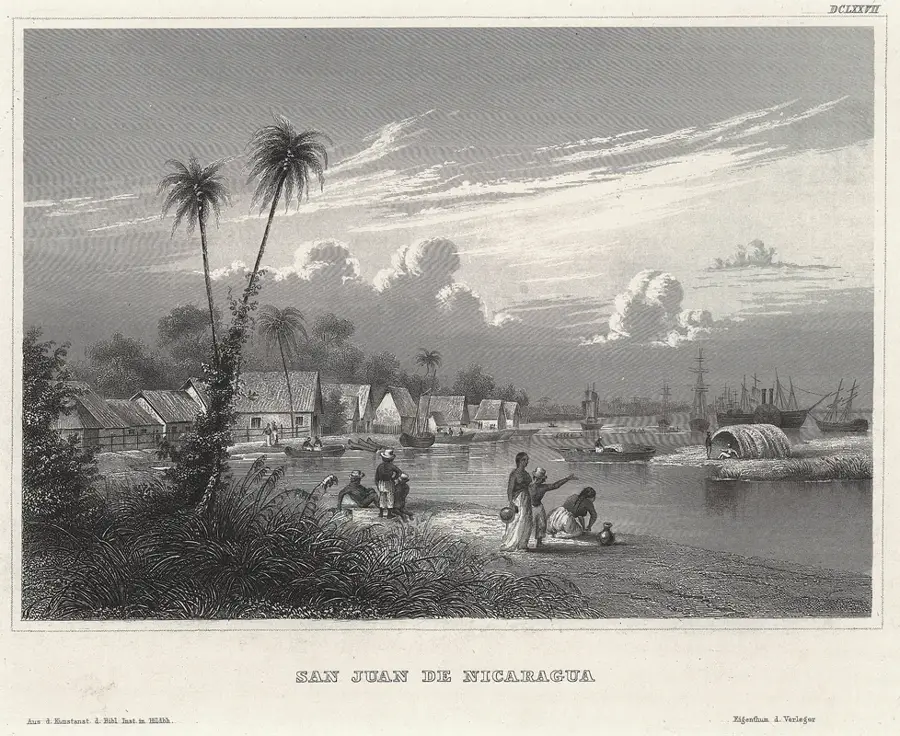
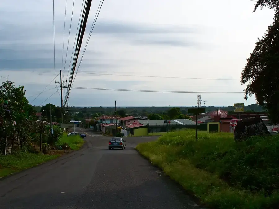
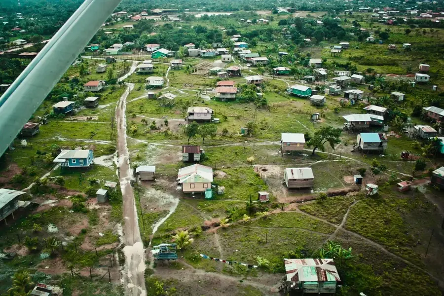
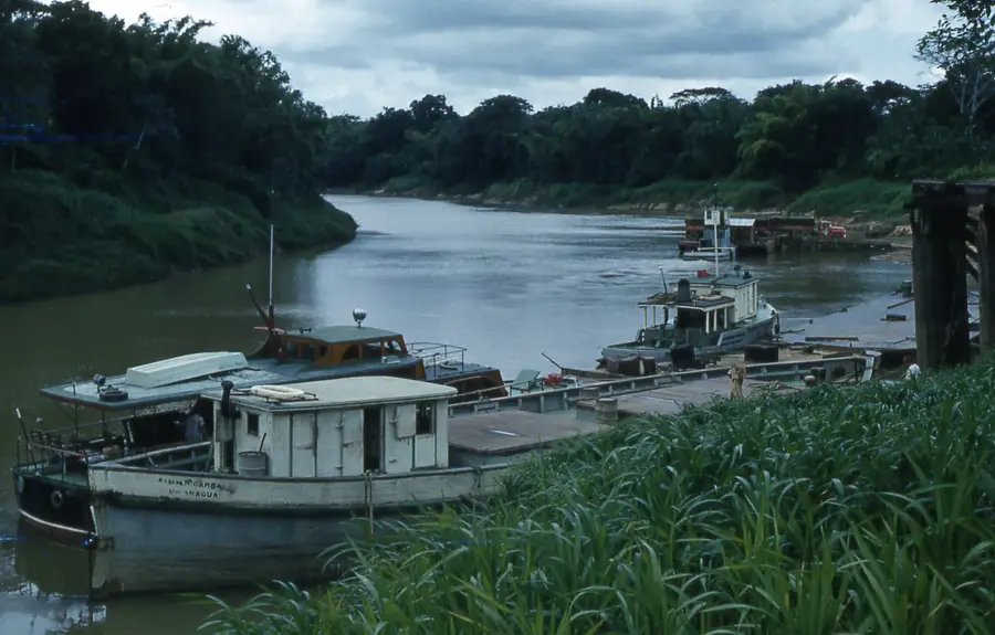
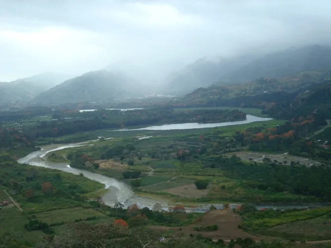
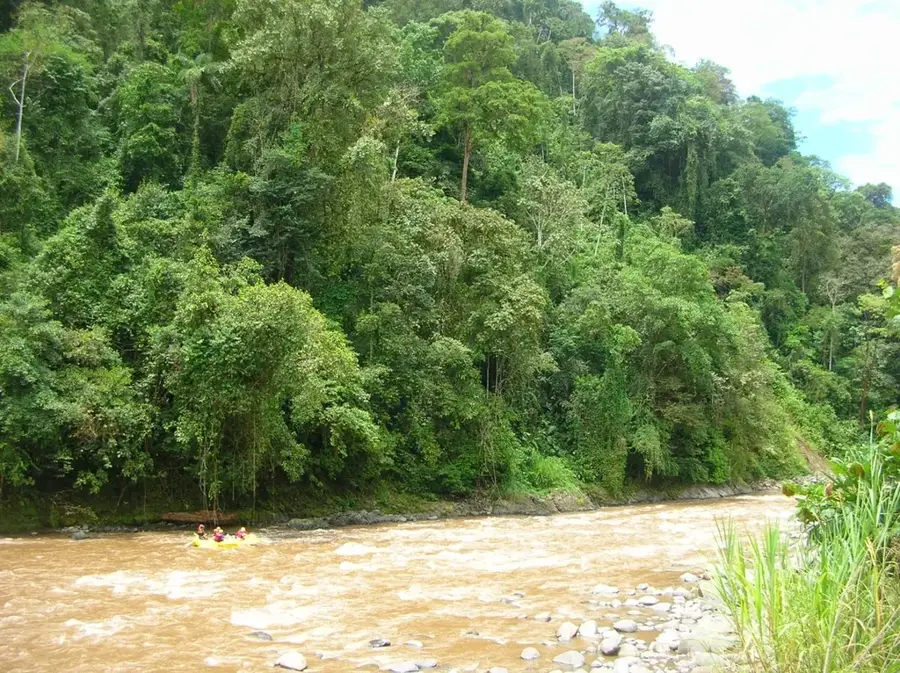
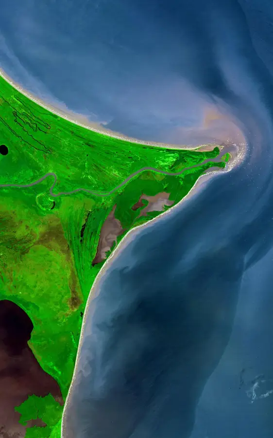
The Wawa River is one of the most significant rivers in the North Caribbean Coast Autonomous Region (RACCN) of eastern Nicaragua. Originating in the central highlands, it flows for hundreds of kilometers through dense tropical rainforests and wetlands before emptying into the Karatá Lagoon and ultimately the Caribbean Sea. The river serves as a vital transportation artery for the local Miskito communities, as many villages remain accessible only by water. Historically, the Wawa River was a hub for timber transport and regional trade. Its ecology is characterized by a rich diversity of fish and provides habitat for crocodiles and numerous waterfowl. A notable logistical feature was the Wawa ferry, which for a long time provided the only land link between Puerto Cabezas and the rest of the country until the recent completion of a modern bridge. However, the river faces threats from sedimentation and deforestation within its drainage basin, which impacts water quality. Conservation efforts focus on preserving riparian forests and ensuring sustainable fishing practices. The Wawa River remains a symbol of the wild nature and logistical complexities of Nicaragua's Caribbean coast.
- Location: Nicaragua
- Nearby: Desembocadura de Río Grande (20 km)
📋 Practical info
Geography
Facts
- The total length of the river is approximately 160 kilometers.
- The Wawa River drains large portions of the northeastern rainforests.
- Its mouth is located south of the city of Puerto Cabezas.
- A major bridge over the river was inaugurated in 2022.
- The river is well known for its snook and tarpon fish populations.
- The drainage basin covers over 4,000 square kilometers.
Explore nearby
Notable places around
Route planner — Car & Motorhome
Where do you start? We build the route here, with stops and country notes along the way.
© OpenStreetMap contributors · OpenRouteService
Sights nearby
Frequently asked questions
Is the Río Wawa navigable?
What can you see on the bank?
Do you need a guide?
Are there hotels by the river?
When is the best time to visit?
Wawa River: where is it located?
Wawa River: why is it worth visiting?

Nearby cities


History & landmarks

Nature
More places