Plizio Visual Lab
Caribbean Sea (Nicaragua)

Weather…
Water temperature…
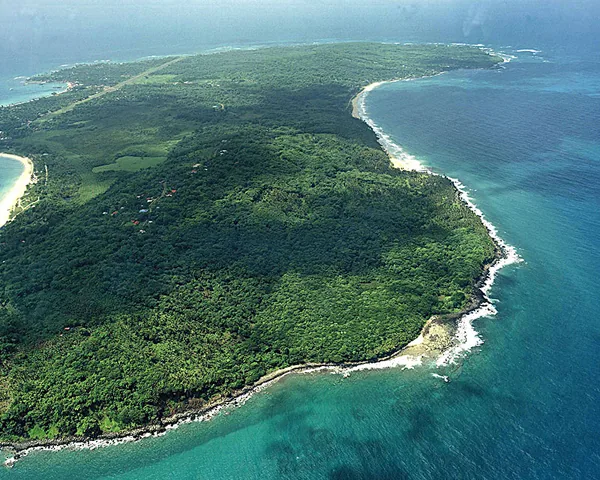
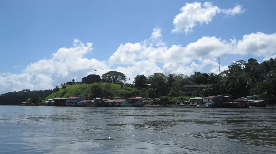
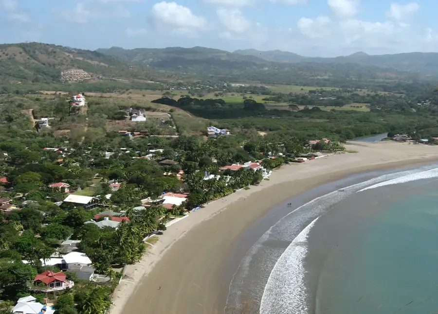
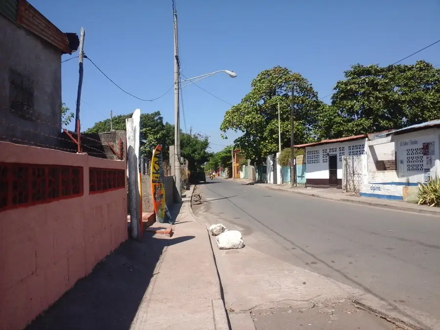
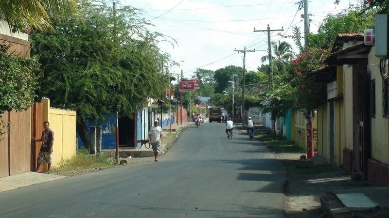
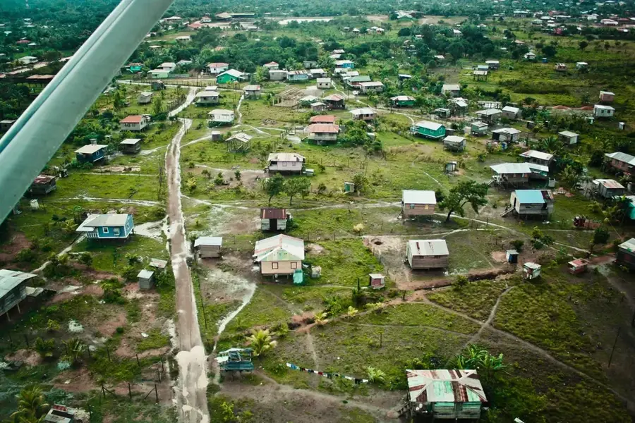
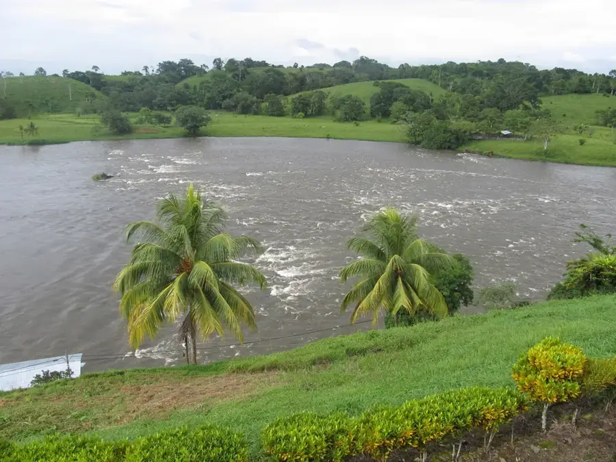
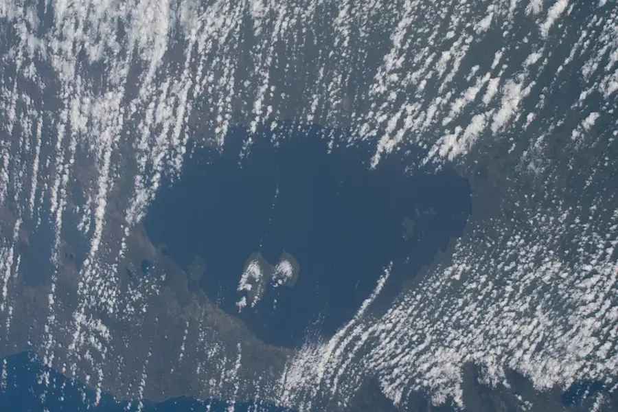
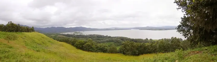
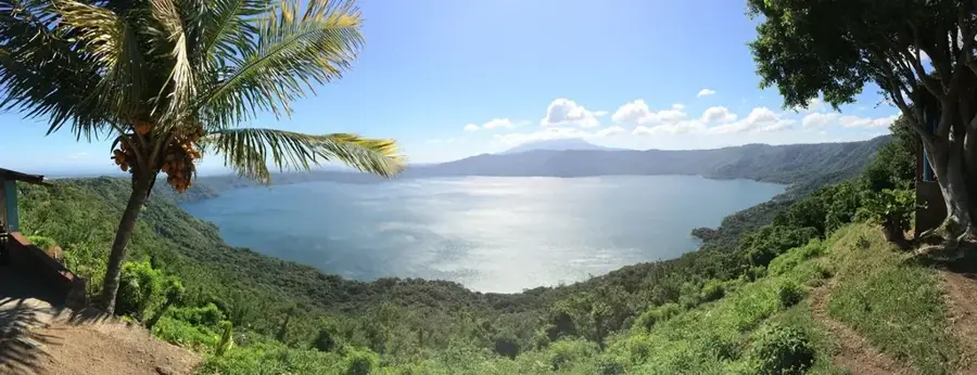
The Caribbean Sea off the coast of Nicaragua extends along the country's eastern border and is defined by a wide, shallow continental shelf. This region, often referred to as the Miskito Coast, hosts some of the most pristine coral reefs and seagrass beds in Central America. These waters are of strategic importance for the fishing industry, particularly for lobster and shrimp exports, which are mainstays of the local economy. Historically, this maritime area was a theater of colonial conflicts between Spain and Great Britain, leading to a unique cultural blend of indigenous Miskito, Creole, and Garifuna peoples. The Cayos Miskitos, an archipelago offshore, forms a critical biological reserve for sea turtles and rare manatees. In recent decades, climate change and increased hurricane activity have presented significant challenges to coastal communities. Nevertheless, the Nicaraguan Caribbean remains a place of extraordinary natural beauty and ecological wealth, increasingly targeted for sustainable tourism initiatives. The protection of marine resources is vital for the country's food security and the preservation of its broad biodiversity.
- Location: Nicaragua
- Nearby: Corn Island (12 km)
Best time to visit & climate
The most pleasant time to visit is Feb–Apr.
| Jan | Feb | Mar | Apr | May | Jun | Jul | Aug | Sep | Oct | Nov | Dec | |
|---|---|---|---|---|---|---|---|---|---|---|---|---|
| Avg °C | 27 | 27 | 27 | 28 | 28 | 28 | 28 | 28 | 28 | 28 | 28 | 27 |
| Rain mm | 103 | 57 | 39 | 51 | 192 | 305 | 326 | 283 | 258 | 398 | 318 | 154 |
📋 Practical info
Geography
Facts
- Nicaragua's Caribbean coastline is over 450 kilometers long.
- The waters host parts of the world's second-largest barrier reef system.
- Cayos Miskitos was declared a biological reserve in 1991.
- Roughly 90% of Nicaragua's lobster catch originates in this region.
- The area contains significant nesting sites for the Hawksbill sea turtle.
- The average water temperature remains around 27 degrees Celsius year-round.
Explore nearby
Notable places around
Route planner — Car & Motorhome
Where do you start? We build the route here, with stops and country notes along the way.
© OpenStreetMap contributors · OpenRouteService
Sights nearby
Frequently asked questions
Can you swim on the Caribbean coast?
When is hurricane season?
Which is the best region for snorkeling?
How do you get there?
Are there resorts there?
Caribbean Sea (Nicaragua): where is it located?
Caribbean Sea (Nicaragua): when is the best time to visit?
Caribbean Sea (Nicaragua): why is it worth visiting?

Nearby cities
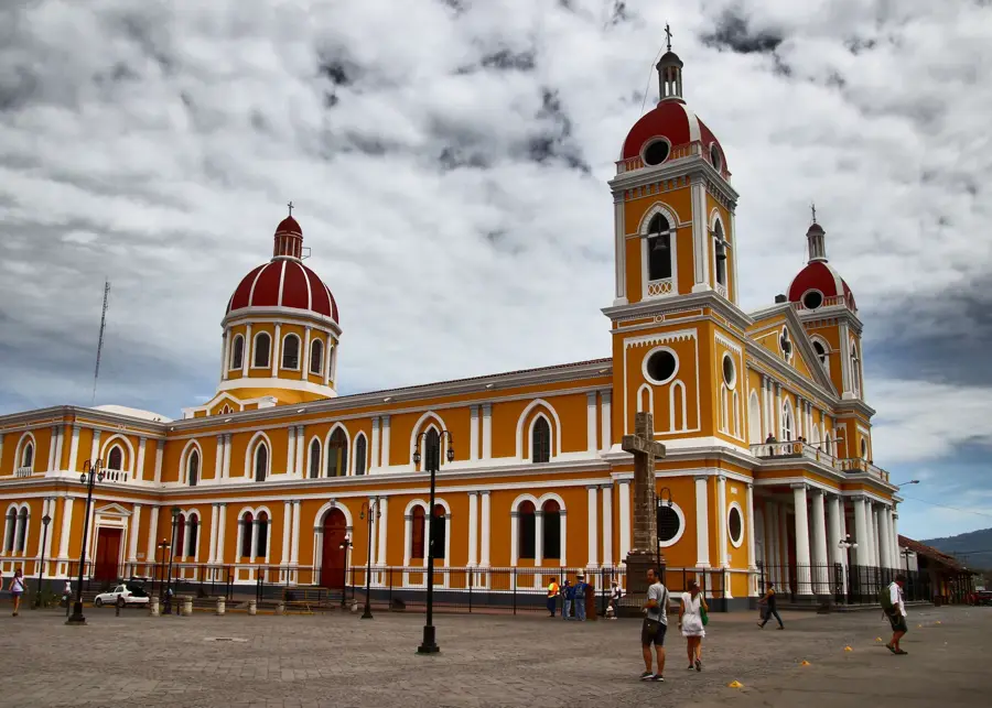
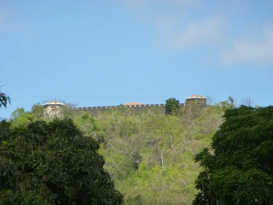
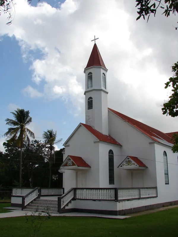
History & landmarks
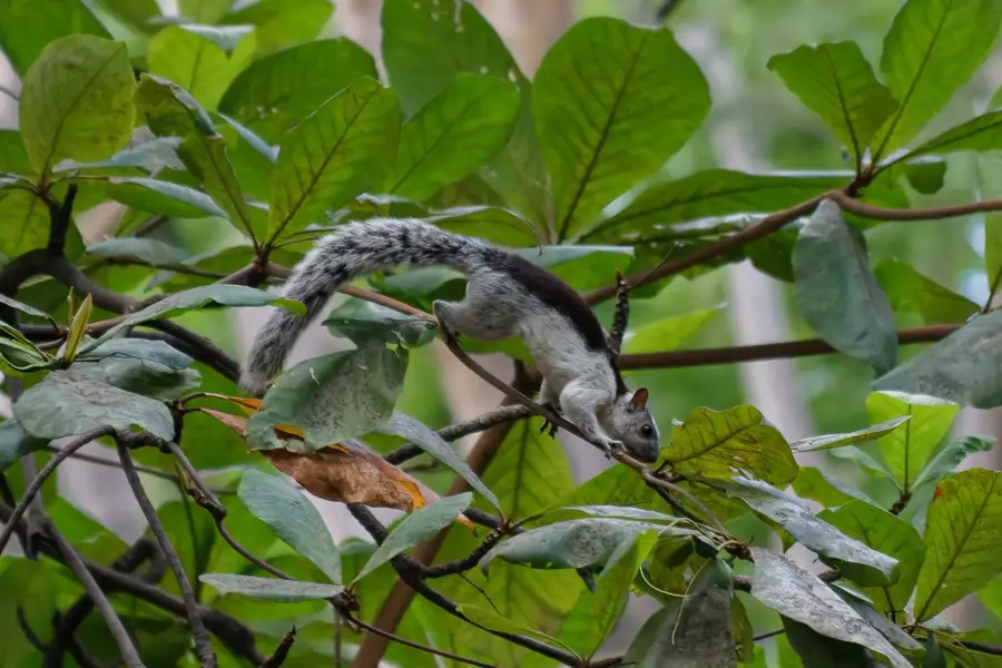
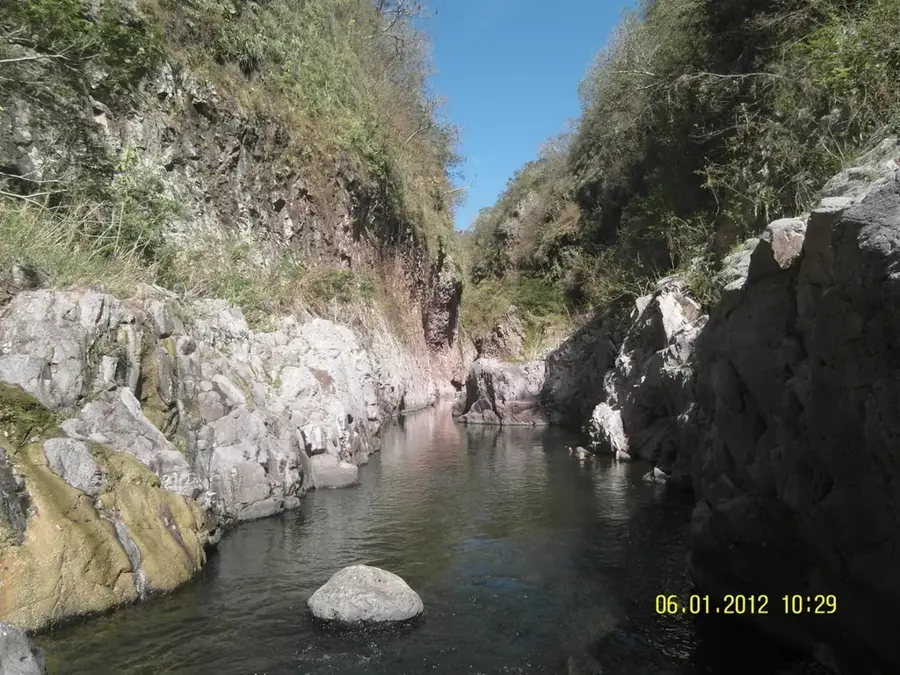
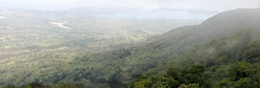
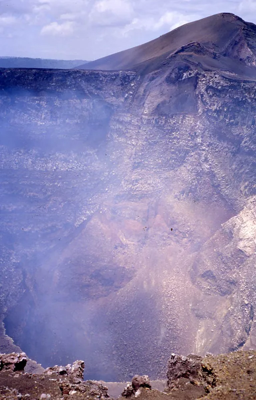
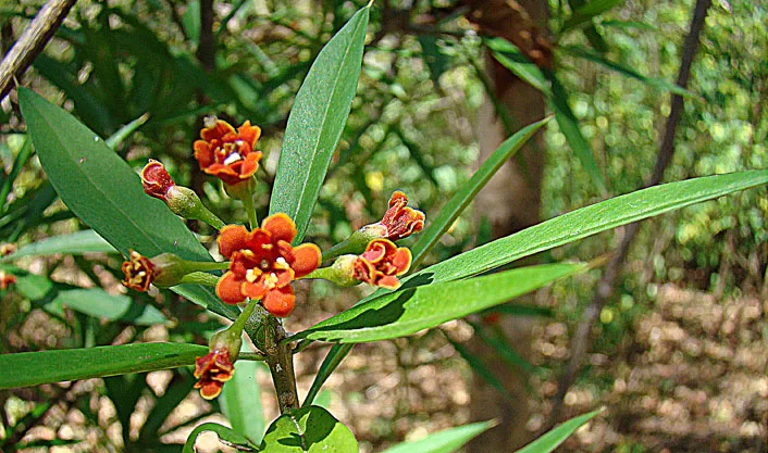
Nature
More places