Plizio Visual Lab
Cerro Juana Lainez Park

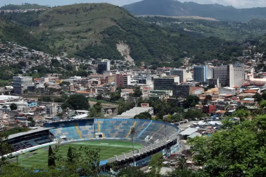
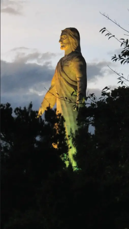
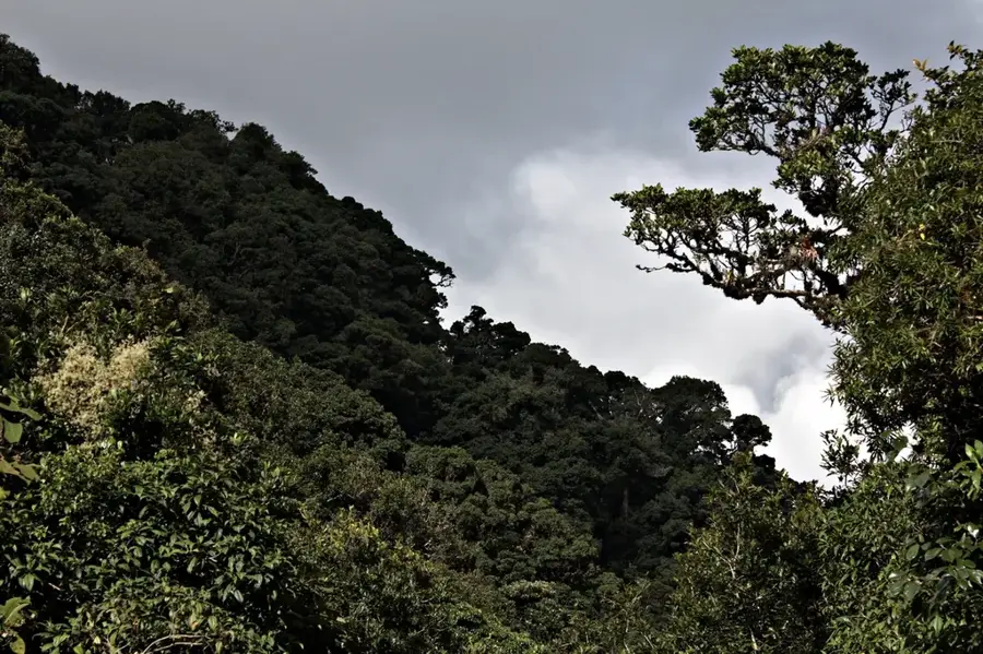
Cerro Juana Laínez Park is a vital ecological and historical landmark situated in the heart of Tegucigalpa. The hill, named after a prominent 19th-century landowner, is crowned by the Monumento a la Paz (Monument to Peace), erected in 1948 to symbolize national harmony following a period of civil unrest. As one of the few remaining forested areas within the city's urban core, the park provides essential ecosystem services and serves as a sanctuary for local flora and fauna. In recent years, it has undergone significant redevelopment, featuring paved running tracks, cycling lanes, and modern recreational areas, making it a premier destination for fitness enthusiasts. From its summit, visitors are treated to 360-degree panoramic views of the entire capital, including the Suyapa mountains and the historic downtown. The monument itself is a striking white structure that hosts diplomatic and military ceremonies throughout the year. The park stands as a model for urban green space revitalization in Honduras, successfully blending environmental conservation with modern infrastructure for public leisure.
Explore on the map
How well do you know Honduras?
Find cities, landscapes and regions in 10 varied challenges on the interactive map.
Your journey, your memory
A postcard from Cerro Juana Lainez Park
Turn your own photo into a personal postcard with a local stamp. Free and no sign-up required.
Create a postcard- Location: Honduras
- Highlights: Chelato Uclés National Stadium · National Gallery of Art (Honduras) · National Congress of Honduras
- Nearby: Valle de Ángeles (18 km)
Best time to visit & climate
The most pleasant time to visit is Jan, Feb, Dec.
| Jan | Feb | Mar | Apr | May | Jun | Jul | Aug | Sep | Oct | Nov | Dec | |
|---|---|---|---|---|---|---|---|---|---|---|---|---|
| Avg °C | 21 | 23 | 24 | 26 | 25 | 23 | 23 | 23 | 23 | 22 | 21 | 21 |
| Rain mm | 12 | 11 | 12 | 40 | 161 | 197 | 106 | 128 | 190 | 179 | 48 | 38 |
📋 Practical info
Geography
Facts
- The Monument to Peace was officially completed in 1948.
- The park covers an area of approximately 24 hectares (60 acres).
- It is named after Juana Laínez, who owned the hill in the 1800s.
- The summit features an official heliport and a large national flag.
- More than 50 species of birds inhabit this urban forest sanctuary.
- The park was revitalized starting in 2014 with international support.
Explore nearby
Notable places around



Route planner — Car & Motorhome
Where do you start? We build the route here, with stops and country notes along the way.
© OpenStreetMap contributors · OpenRouteService
Sights in the town Cerro Juana Lainez Park (3)
Sights nearby
Frequently asked questions
What does Juana Lainez Park offer?
Is there a fee for the park?
Can you go jogging there?
Are there toilets in the park?
When does the park close?
Cerro Juana Lainez Park: where is it located?
Cerro Juana Lainez Park: what is there to see?
Cerro Juana Lainez Park: when is the best time to visit?
Cerro Juana Lainez Park: why is it worth visiting?

Nearby cities

History & landmarks
Nature
More places