Plizio Visual Lab
Cerro Palenque Archaeological Site

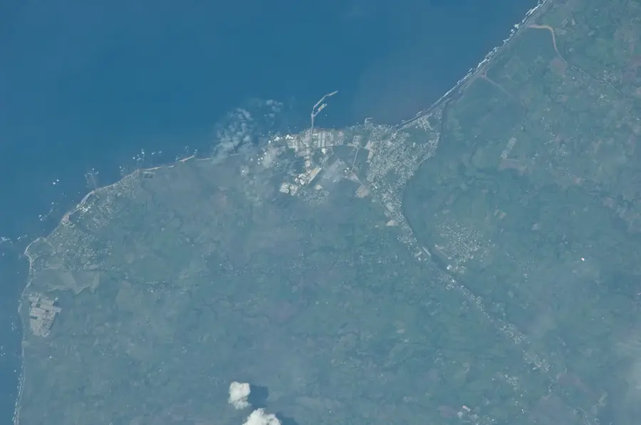
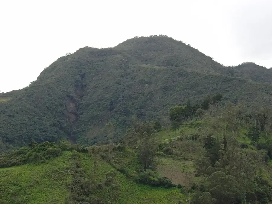
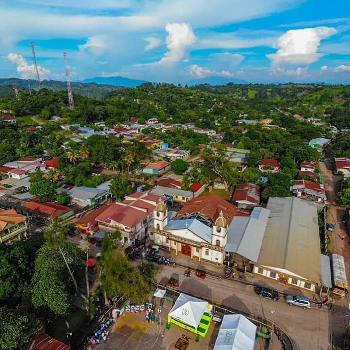
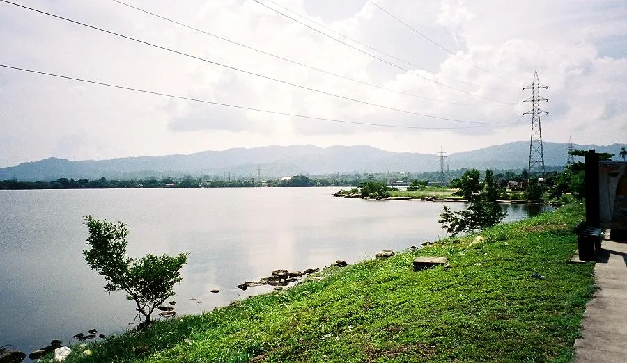
Cerro Palenque is a significant archaeological site in northern Honduras, strategically located at the confluence of the Ulúa and Comayagua rivers. The site reached its peak during the Late Classic and Terminal Classic periods (roughly 850-1100 AD), thriving at a time when many other major Maya centers were in decline. Unlike the monumental architecture of Copán, Cerro Palenque reflects a different social organization and architectural style, showcasing cultural interactions across Central America. The inhabitants utilized the surrounding fertile plains for large-scale cacao cultivation, which served as a primary trade commodity. Archaeological excavations have identified numerous residential platforms, a ball court, and ceremonial structures. The site provides crucial insights into the regional continuity of indigenous societies in the Ulúa Valley following the collapse of the Classic Maya civilization.
- Location: Honduras
- Nearby: Villanueva (5 km)
Best time to visit & climate
The most pleasant time to visit is Jan–Mar.
| Jan | Feb | Mar | Apr | May | Jun | Jul | Aug | Sep | Oct | Nov | Dec | |
|---|---|---|---|---|---|---|---|---|---|---|---|---|
| Avg °C | 22 | 23 | 24 | 26 | 27 | 26 | 26 | 26 | 26 | 25 | 23 | 23 |
| Rain mm | 111 | 83 | 64 | 44 | 105 | 170 | 158 | 153 | 179 | 187 | 174 | 118 |
📋 Practical info
Geography
Facts
- Extensive archaeological surveys of the site began in the 1970s.
- Over 500 individual structures have been mapped across the hilltops.
- The main plaza sits at an elevation of roughly 200 meters above the valley.
- It was the largest center in the Ulúa Valley during the Terminal Classic.
- Cacao production was the primary driver of the local economy.
- The site features a large ball court used for ritual competitions.
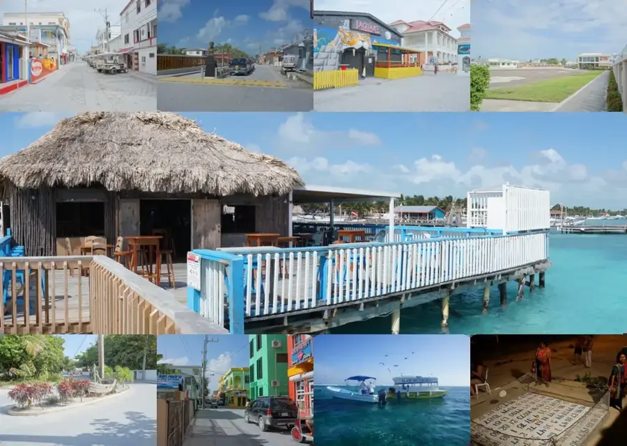
Explore nearby
Notable places around
Route planner — Car & Motorhome
Where do you start? We build the route here, with stops and country notes along the way.
© OpenStreetMap contributors · OpenRouteService
Sights nearby
Frequently asked questions
What is Cerro Palenque?
Is there a visitor center there?
Is a guide needed?
What is the difficulty of the terrain?
When is the best time to visit?
Cerro Palenque Archaeological Site: where is it located?
Cerro Palenque Archaeological Site: when is the best time to visit?
Cerro Palenque Archaeological Site: why is it worth visiting?

Nearby cities

History & landmarks
Nature
More places