Plizio Visual Lab
La Gomera
ℹ️Practical info — La Gomera
▾
🌤 Weather — 5 days
📍 Nearby
Sights nearby
💡 Tips
- Expect a hot and humid tropical climate, so dress in light, breathable clothing.
- It is primarily an agricultural hub surrounded by sugarcane and palm oil plantations.
- Cash is essential here, as card payments are mostly limited to larger stores or gas stations.
- The town is a good stopover if you are exploring the rural Pacific coastal plains.
🍽 Food
Grilled beef served with beans, rice, and tortillas at local comedores.
Buy chilled coconut water from street vendors to beat the heat.
A sweet and savory staple side dish found everywhere.
🛍 Shopping · 🧘 Quiet spots
Best place to buy incredibly fresh tropical fruits like mangoes and papayas.
Interesting to see the tools and supplies for local farming.
Best enjoyed in the late afternoon when the heat subsides.
Rural roads leading to plantations offer quiet, albeit hot, walks.
Water temperature…
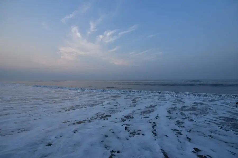
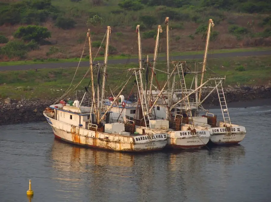
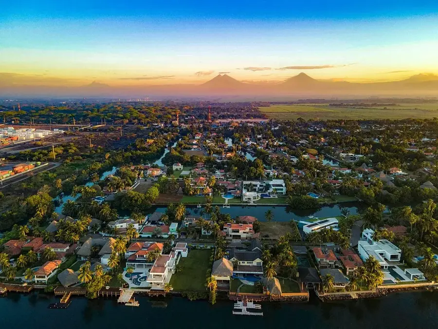
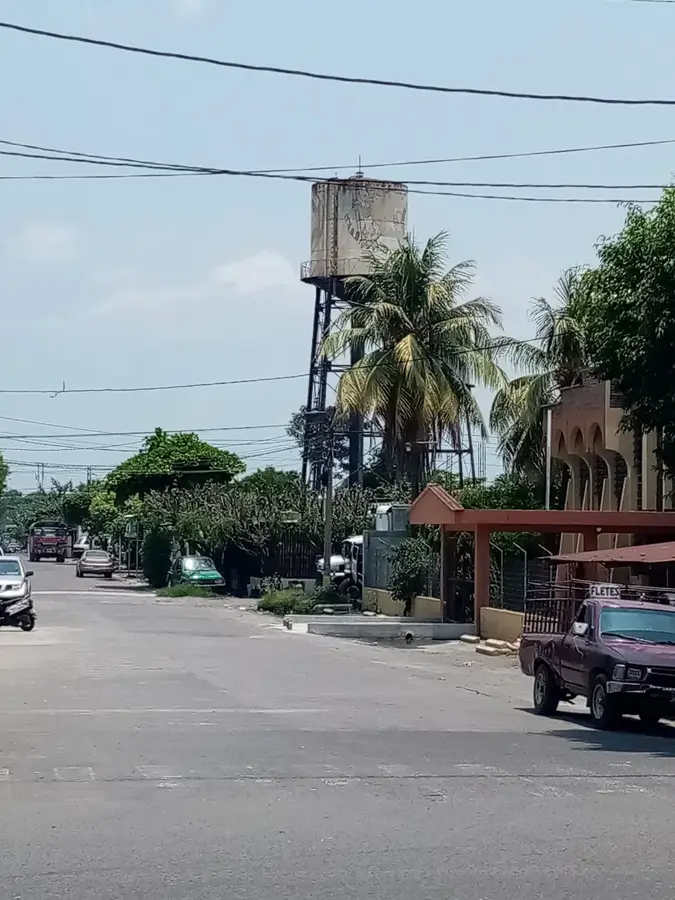
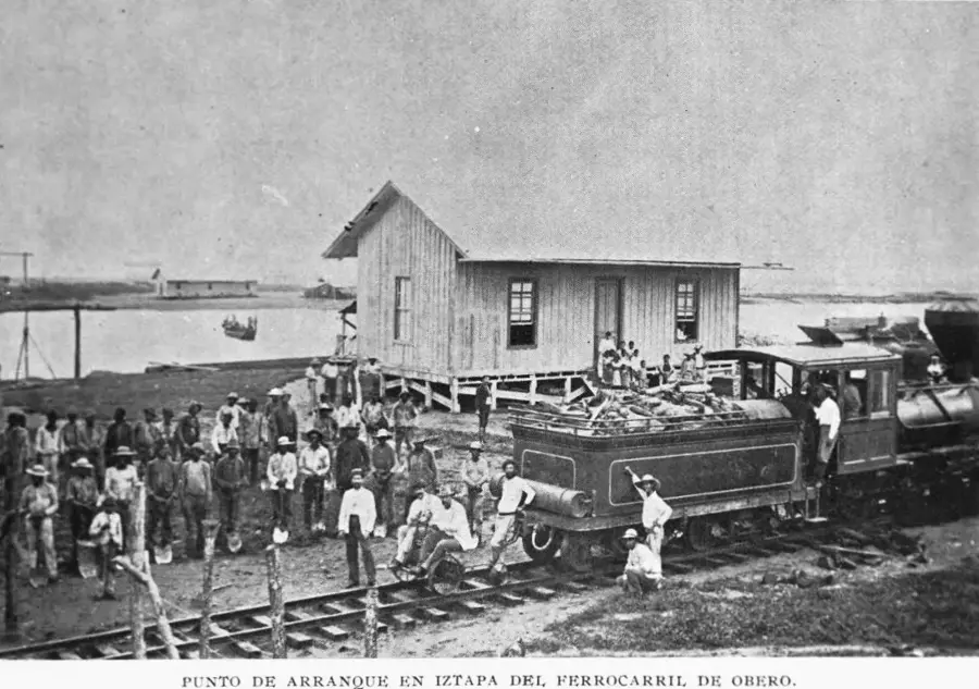
La Gomera is located in the Escuintla Department within Guatemala's Pacific coastal plain and is a significant hub for industrial agriculture. The town sits at an elevation of only 12 meters above sea level, resulting in a hot tropical climate with high humidity. Historically, this fertile region transitioned from colonial cattle ranching to modern large-scale plantation farming. Currently, the local economy is heavily dependent on the production of sugarcane, African oil palm, and bananas. The surrounding geography is defined by vast, flat plains intersected by numerous rivers flowing toward the Pacific Ocean. La Gomera serves as a commercial and service center for the thousands of workers employed by the surrounding agricultural estates, or fincas. Despite the dominance of monocultures, the nearby coastline contains ecologically important mangrove forests that support local wildlife. The transportation network in and around the city is primarily designed to facilitate the movement of agricultural products to regional markets and ports.
- Location: Guatemala
- Nearby: Siquinalá (9 km)
- Population: ~24.001 (2020)
Best time to visit & climate
The most pleasant time to visit is Jan, Feb, Dec.
| Jan | Feb | Mar | Apr | May | Jun | Jul | Aug | Sep | Oct | Nov | Dec | |
|---|---|---|---|---|---|---|---|---|---|---|---|---|
| Avg °C | 26 | 27 | 28 | 29 | 28 | 27 | 28 | 28 | 27 | 27 | 27 | 26 |
| Rain mm | 4 | 6 | 15 | 61 | 252 | 326 | 251 | 305 | 339 | 297 | 65 | 8 |
Geography
Facts
- The elevation is 12 meters above sea level.
- Located in the coastal Escuintla Department.
- The climate is characterized by high heat and seasonal rainfall.
- Primary crops include sugarcane, oil palm, and bananas.
- Serves as an essential service hub for agricultural workers.
- The region is critical for Guatemala's domestic sugar production.
Explore nearby
Notable places around
Route planner — Car & Motorhome
Where do you start? We build the route here, with stops and country notes along the way.
© OpenStreetMap contributors · OpenRouteService
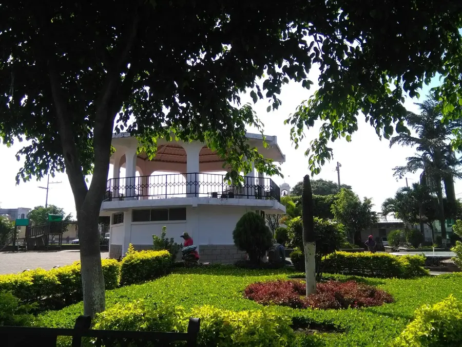
Sights in the town La Gomera (1)
Frequently asked questions
Where is La Gomera located in Guatemala?
What is the economic base of La Gomera?
Are there beaches near La Gomera?
What is the weather like there?
Is La Gomera a tourist center?
La Gomera: where is it located?
La Gomera: when is the best time to visit?
La Gomera: why is it worth visiting?

Nearby cities

History & landmarks

More places