Plizio Visual Lab
Chimaltenango Vegetable Valleys

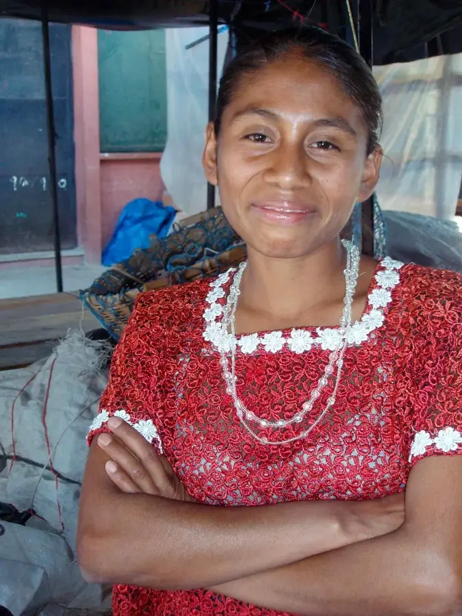
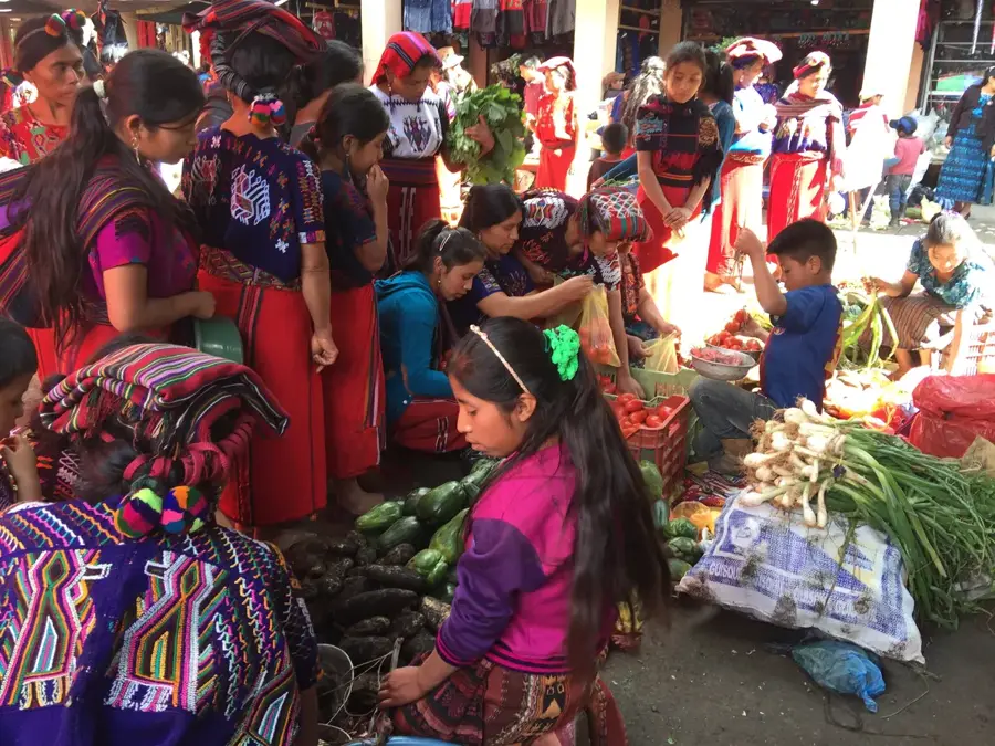
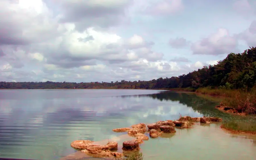
The vegetable valleys of Chimaltenango are known as the 'garden' of Guatemala and play a central role in the country's agricultural exports. Thanks to fertile volcanic soils and a favorable altitude between 1,800 and 2,500 meters, high-quality vegetables such as broccoli, peas, green beans, and cauliflower are grown here. This region has undergone a massive transformation in recent decades from subsistence farming to export-oriented production, with many products reaching markets in the USA and Europe directly. The landscape is characterized by intensively farmed plots on steep slopes and in wide valleys, often managed by indigenous smallholder cooperatives. Chimaltenango benefits from its strategic location along the Pan-American Highway, allowing for rapid transport of perishable goods. Modern irrigation techniques and compliance with international food safety standards have helped the region become one of Central America's most competitive agricultural hubs. Vegetables from Chimaltenango are not only an economic factor but also a symbol of the hard work and agricultural expertise of the local population.
- Location: Guatemala
- Top sights: Chimaltenango · El Tejar, Chimaltenango · Los Aposentos
- Nearby: Escuintla (4 km)
Best time to visit & climate
The most pleasant time to visit is Jan, Feb, Dec.
| Jan | Feb | Mar | Apr | May | Jun | Jul | Aug | Sep | Oct | Nov | Dec | |
|---|---|---|---|---|---|---|---|---|---|---|---|---|
| Avg °C | 21 | 22 | 23 | 24 | 24 | 23 | 23 | 23 | 22 | 22 | 21 | 21 |
| Rain mm | 4 | 6 | 18 | 64 | 231 | 317 | 234 | 292 | 346 | 302 | 61 | 8 |
📋 Practical info
Geography
Facts
- Chimaltenango supplies over 60% of Guatemala's vegetable exports.
- Snow peas (snap peas) are among the region's most important export goods.
- The use of greenhouses has increased significantly since 2010.
- Cultivation altitudes reach over 2,200 meters in areas like Patzún.
- Over 30,000 smallholder families depend on vegetable farming.
- The Pan-American Highway is the vital route for truck-based exports.
Explore nearby
Notable places around
Route planner — Car & Motorhome
Where do you start? We build the route here, with stops and country notes along the way.
© OpenStreetMap contributors · OpenRouteService
Sights in the town Chimaltenango Vegetable Valleys (3)
Sights nearby
Frequently asked questions
What is grown in the valleys of Chimaltenango?
Can you take photos of the fields?
Is traditional farming practiced there?
Are there local markets for these vegetables?
Is the area easily accessible?
Chimaltenango Vegetable Valleys: where is it located?
Chimaltenango Vegetable Valleys: what is there to see?
Chimaltenango Vegetable Valleys: when is the best time to visit?
Chimaltenango Vegetable Valleys: why is it worth visiting?

Nearby cities


History & landmarks


Nature
More places