Plizio Visual Lab
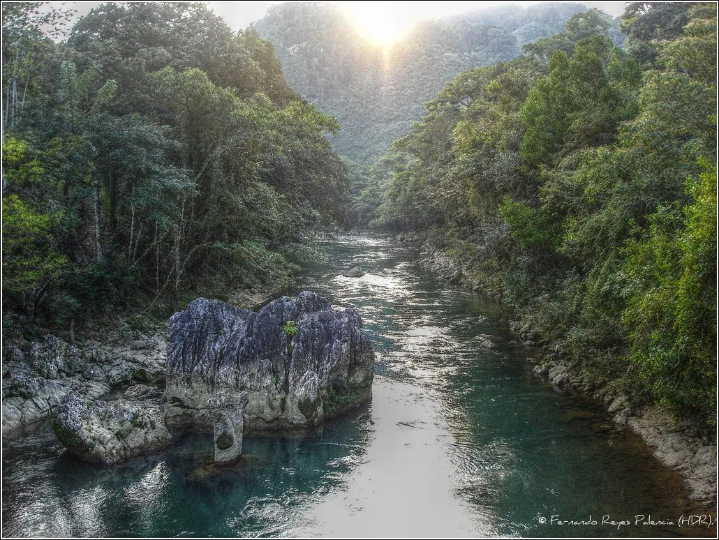
Cerro Cahabón

Weather…
Water temperature…
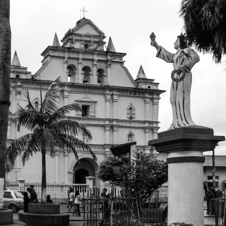
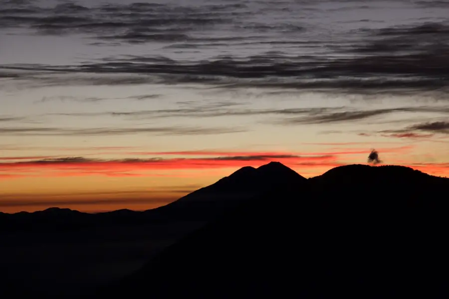
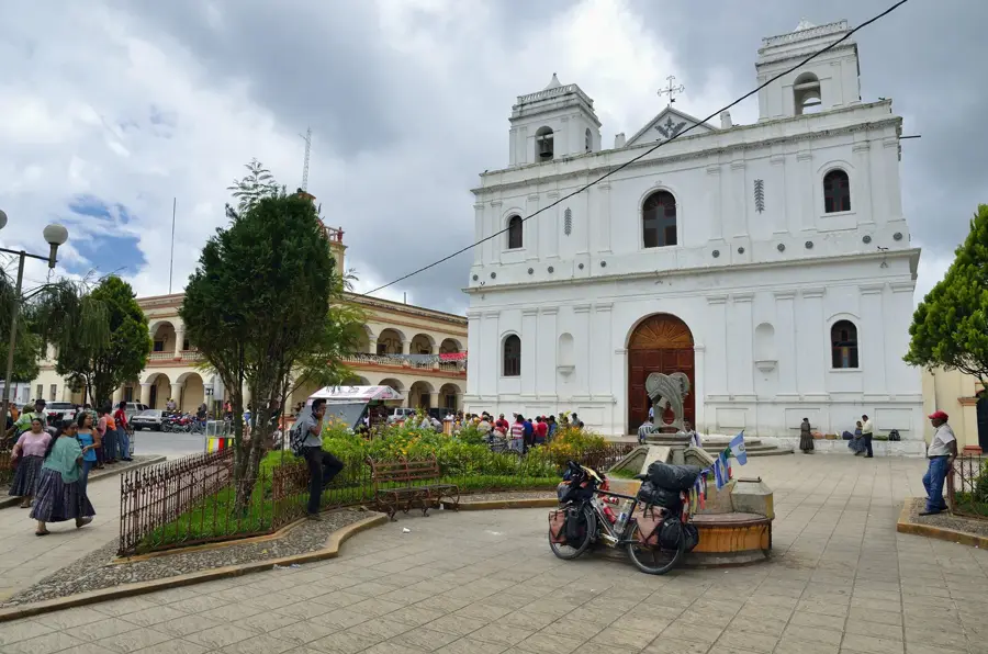
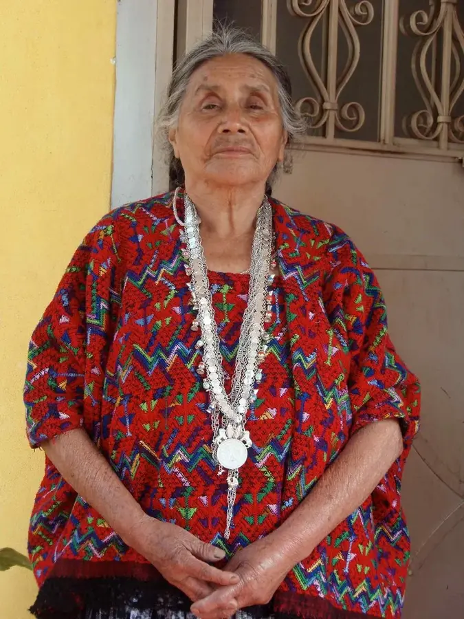
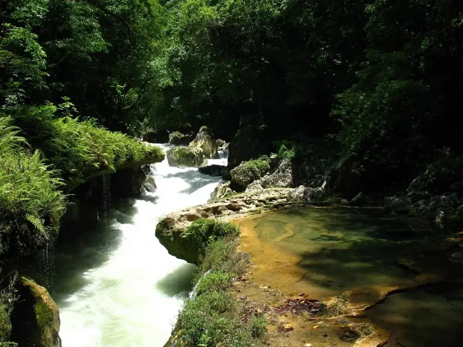
Cerro Cahabón is a prominent elevation in the department of Alta Verapaz, closely linked to the cultural identity of the Q'eqchi' Maya people. The hill reaches an altitude of approximately 1,700 meters and is located in a region characterized by dense subtropical cloud forests and complex karst topography. Geographically, it serves as a watershed for several tributaries of the Cahabón River, one of Guatemala's most important waterways. The mountain slopes are known for their biological richness, hosting numerous endemic orchid species and birds. In local cosmovision, Cerro Cahabón is considered a sacred site where ceremonies are held to honor nature spirits. The region is also of strategic importance for conservation, as it provides a corridor for migratory wildlife between the lowland rainforests and the highland areas.
- Location: Guatemala
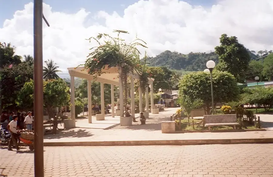
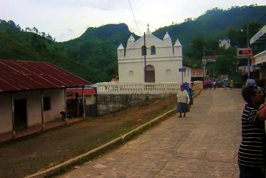
- Nearby: Lanquín (8 km)
Best time to visit & climate
The most pleasant time to visit is Feb, Mar, Dec.
| Jan | Feb | Mar | Apr | May | Jun | Jul | Aug | Sep | Oct | Nov | Dec | |
|---|---|---|---|---|---|---|---|---|---|---|---|---|
| Avg °C | 19 | 20 | 22 | 24 | 25 | 23 | 22 | 22 | 22 | 22 | 20 | 19 |
| Rain mm | 63 | 46 | 41 | 45 | 140 | 225 | 179 | 219 | 265 | 198 | 106 | 67 |
📋 Practical info
Geography
Facts
- Elevation of approximately 1,700 meters
- Sacred site for the Q'eqchi' Maya culture
- Source of several Rio Cahabón tributaries
- Karst landscape with cave systems
- Habitat for rare orchid species
- Geographic part of the Alta Verapaz region
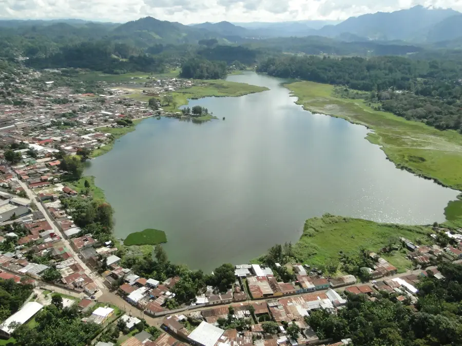
Explore nearby
Notable places around
Route planner — Car & Motorhome
Where do you start? We build the route here, with stops and country notes along the way.
© OpenStreetMap contributors · OpenRouteService
Sights nearby
Frequently asked questions
Where is Cerro Cahabón located?
What is special about this hill?
Can you go hiking there?
What is the climate like in the region?
Are there rivers nearby?
Cerro Cahabón: where is it located?
Cerro Cahabón: when is the best time to visit?
Cerro Cahabón: why is it worth visiting?

Nearby cities
Nature
More places